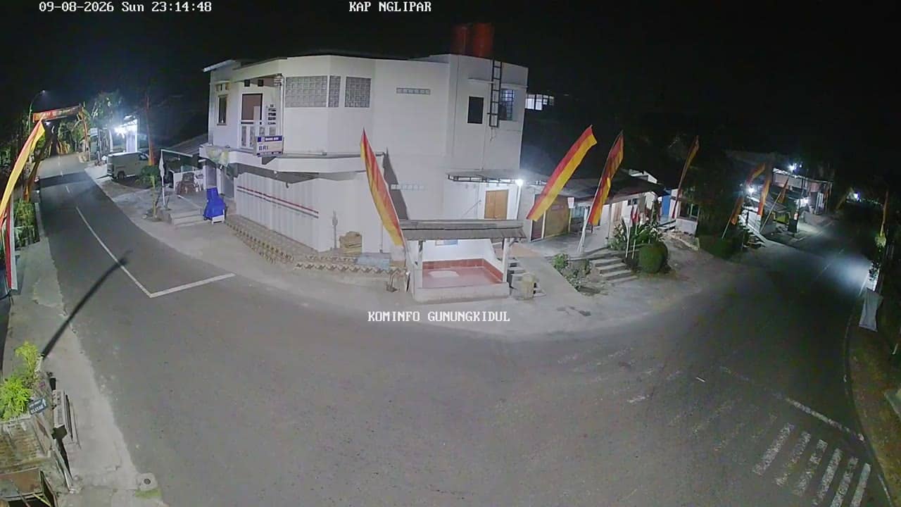
Gunungkidul - KapanewonNgliparTimur
Yogyakarta, Indonesia — 0 km
The camera is temporarily offline
The owner's stream is not available right now. Try again later or watch a camera nearby.
Gunungkidul - KapanewonNgliparBarat
🇮🇩 Yogyakarta · Indonesia — Altitude 243 m
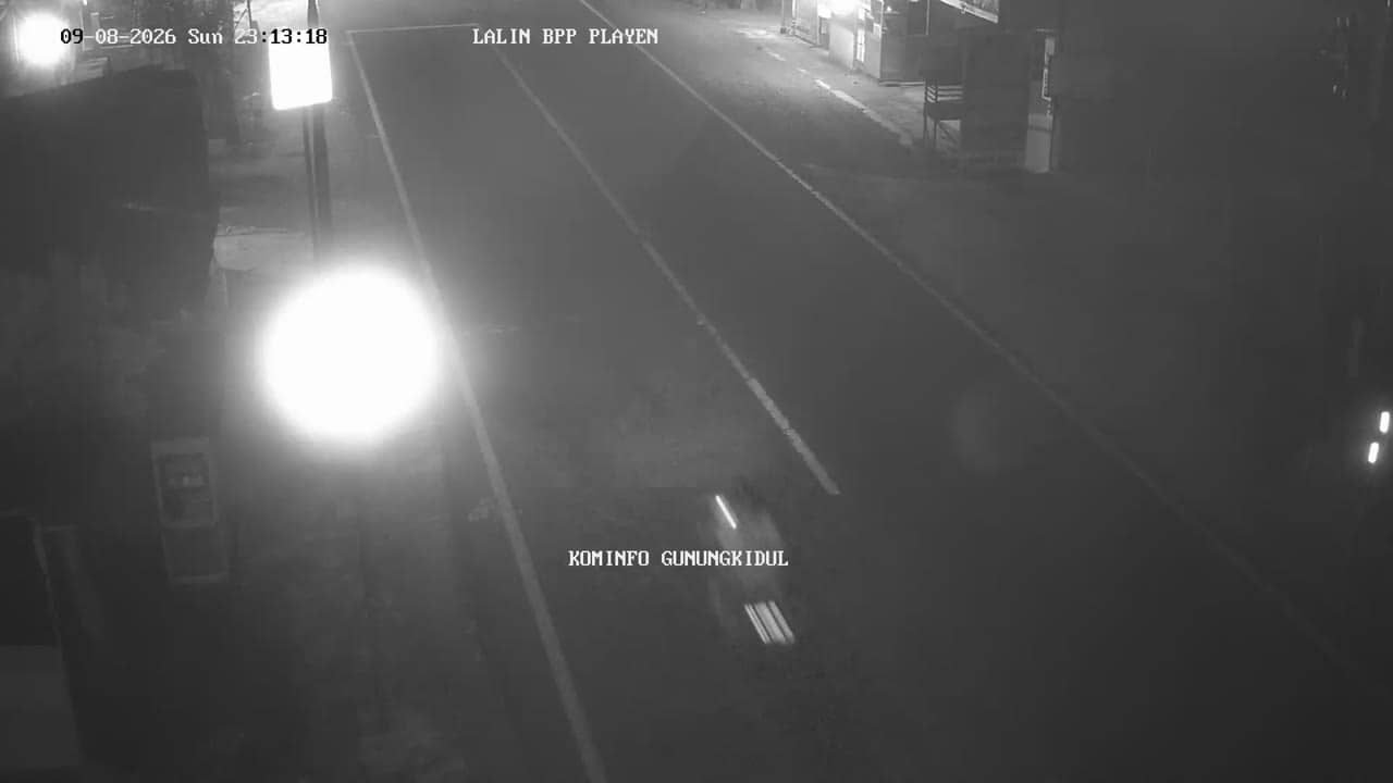
This camera looks over Ngliparbarat, a kapanewon (sub-district) in the Gunungkidul regency of Yogyakarta Province on the southern side of Java. It is a useful window onto everyday rural life in a region better known for its karst landscape than for its towns. Check the stream to see conditions before planning a trip to this part of the island.
Gunungkidul is a large regency south-east of the city of Yogyakarta, shaped by a limestone plateau that drains water quickly, so surface rivers are scarce and the land looks dry for much of the year. Its villages are known for dry-season farming, cassava and corn fields, and rock formations carved by water over long periods. The landscape is more open and quieter than the city of Yogyakarta, and the mood here is slow and rural. Ngliparbarat sits at around 240 metres above sea level, slightly higher than the coastal lowlands.
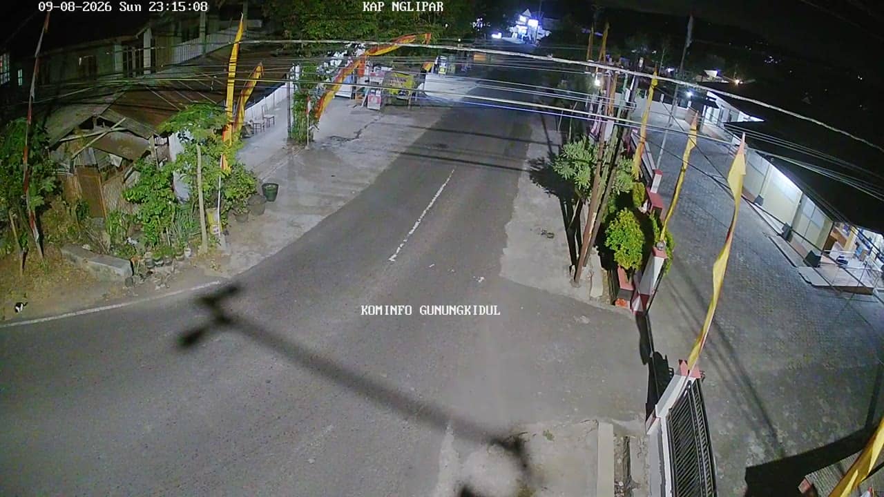
The title names a sub-district rather than a specific landmark, so the view may show roads, houses, fields or a village centre, depending on the position of the camera. Early morning is often the most pleasant time to watch, when activity on the roads begins and the air is cooler. Rain in the wet season can change the picture quickly, and cloud often hangs over the hills in the afternoon. Watching during the dry months gives the clearest view of the surrounding terrain.
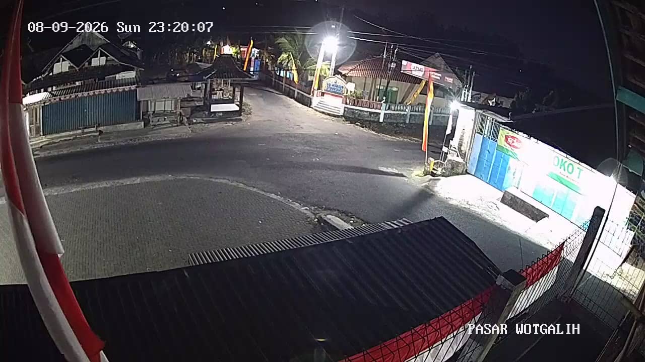
Yogyakarta has a tropical climate with a wet season from roughly November to March and a drier period from April to October, which is generally the better time to travel. Temperatures stay warm year round, usually between 24 and 32 degrees Celsius. Ngliparbarat is reached by road from Yogyakarta city, and the nearby cameras in Nglipartimur, Wotgalih and Ngalang cover neighbouring areas if you want to compare conditions across the sub-district.
Source: cctv.jogjaprov.go.id
Yogyakarta, Indonesia — 0 km
Yogyakarta, Indonesia — 3.9 km
Yogyakarta, Indonesia — 4.4 km
Yogyakarta, Indonesia — 4.4 km

Yogyakarta, Indonesia — 5.6 km
Yogyakarta, Indonesia — 6.9 km
Yogyakarta, Indonesia — 6.9 km
Yogyakarta, Indonesia — 6.9 km
Yogyakarta, Indonesia — 7.9 km

Yogyakarta, Indonesia — 8 km
The current conditions and the three-day forecast for this location are shown in the weather block on this page, updated alongside the live stream.
The local time for this camera is displayed on the page, based on Western Indonesia time, so you can compare it with your own time zone before watching.
The camera is in the Ngliparbarat sub-district of Gunungkidul regency, Yogyakarta Province, about 243 metres above sea level. The map on the page shows its precise position.
Early morning and late afternoon usually show the clearest light and the most activity. During the wet season, check the weather block first, since cloud and rain can limit visibility.
Partner links: we may earn a commission at no extra cost to you.