Gunungkidul - S4BudeganDome
Yogyakarta, Indonesia — 0 km
The camera is temporarily offline
The owner's stream is not available right now. Try again later or watch a camera nearby.
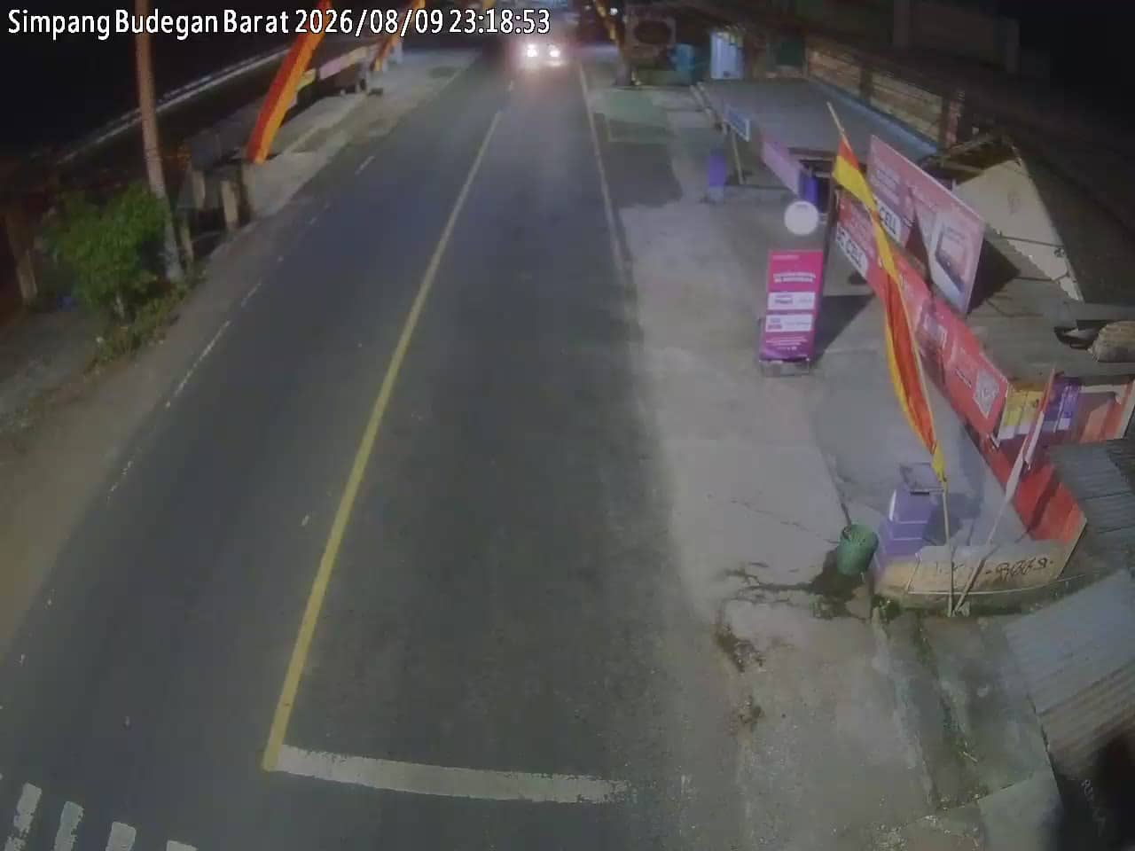
Gunungkidul - S4BudeganBarat
🇮🇩 Yogyakarta · Indonesia — Altitude 202 m
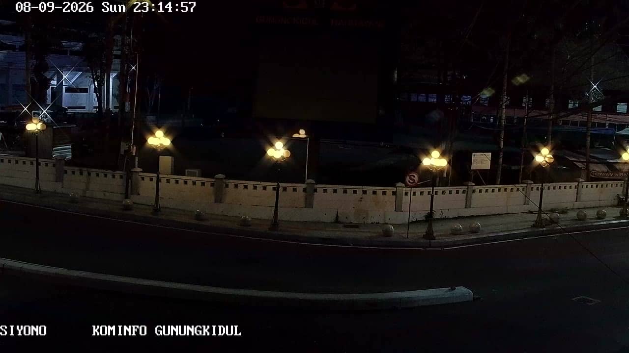
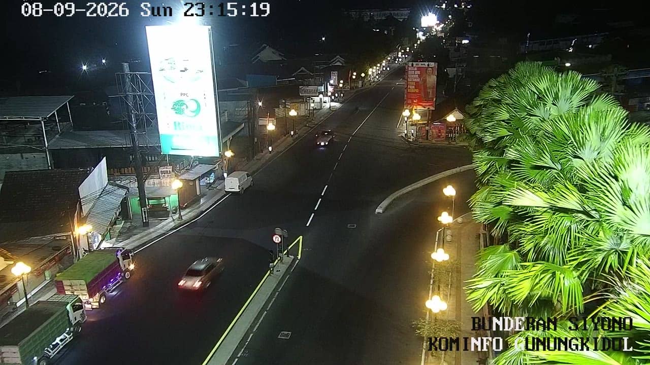
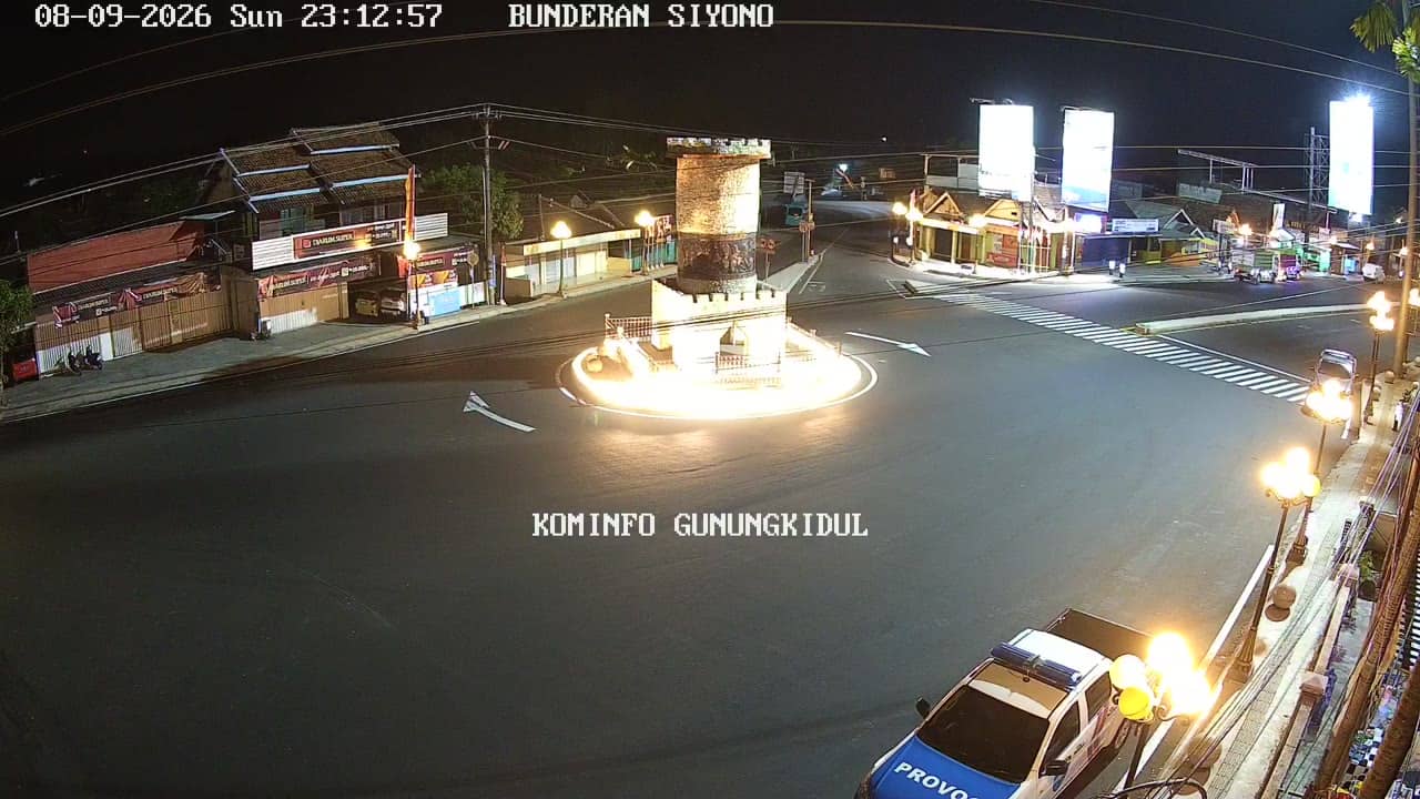
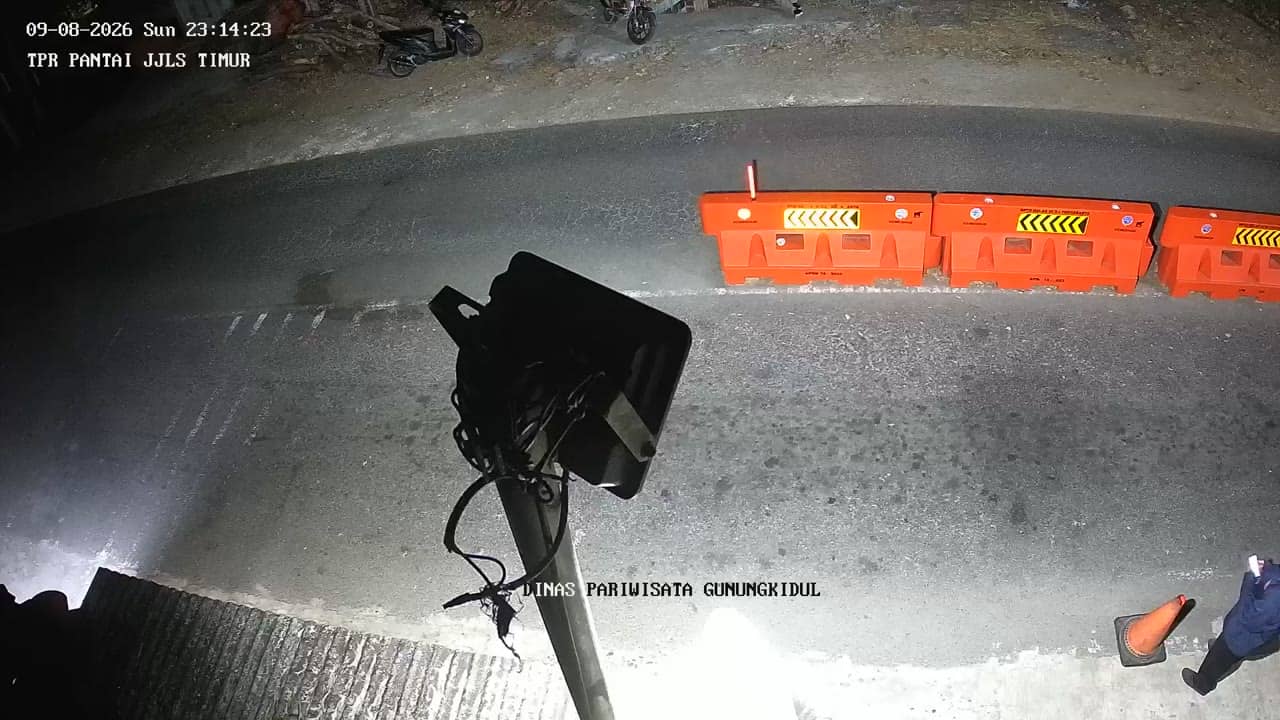
This live stream looks over a street-level junction in Gunungkidul, the rural regency south-east of Yogyakarta city. It is useful if you want a quick sense of how the area looks and feels right now, before you travel or call someone there. The page also shows local time and the weather outlook for the area.
Gunungkidul is a regency that covers much of the limestone plateau south-east of Yogyakarta, on the island of Java. The landscape is shaped by karst hills, dry valleys and caves, and the land is less densely built than the city itself. Villages here are tied to farming, small trade and the rhythms of the seasons. Many visitors come to Gunungkidul for its beaches on the southern coast and its cave and hill scenery, while the inland roads carry most of the everyday traffic of local life.
The camera is listed as a city view, so it most likely follows roads and everyday activity rather than a single landmark. Because the picture is only described by its title and category, check the live feed for the current scene. Activity tends to be busiest in the morning and late afternoon, when people travel to work, school and markets. Expect the scene to change with the weather, from bright midday light to a quieter evening.
Yogyakarta and its surrounding regencies have a tropical climate with warm temperatures year round. The rainy season usually runs from late autumn into early spring, bringing heavy showers, while the drier months from around May to October are generally more comfortable for travel. Gunungkidul is reached by road from Yogyakarta city, and nearby cameras at Budegan Dome, Budegan East, Siyono junction and Gor Siyono can help you see more of the same area.
Source: cctv.jogjaprov.go.id
Yogyakarta, Indonesia — 0 km
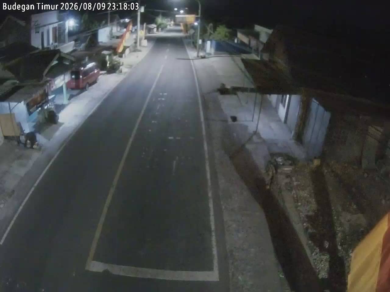
Yogyakarta, Indonesia — 0 km
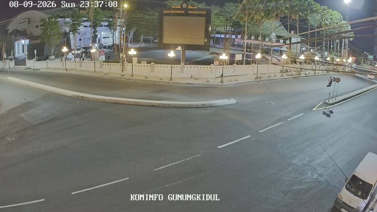
Yogyakarta, Indonesia — 2.3 km
Yogyakarta, Indonesia — 2.3 km
Yogyakarta, Indonesia — 2.3 km
Yogyakarta, Indonesia — 2.3 km
Yogyakarta, Indonesia — 2.3 km
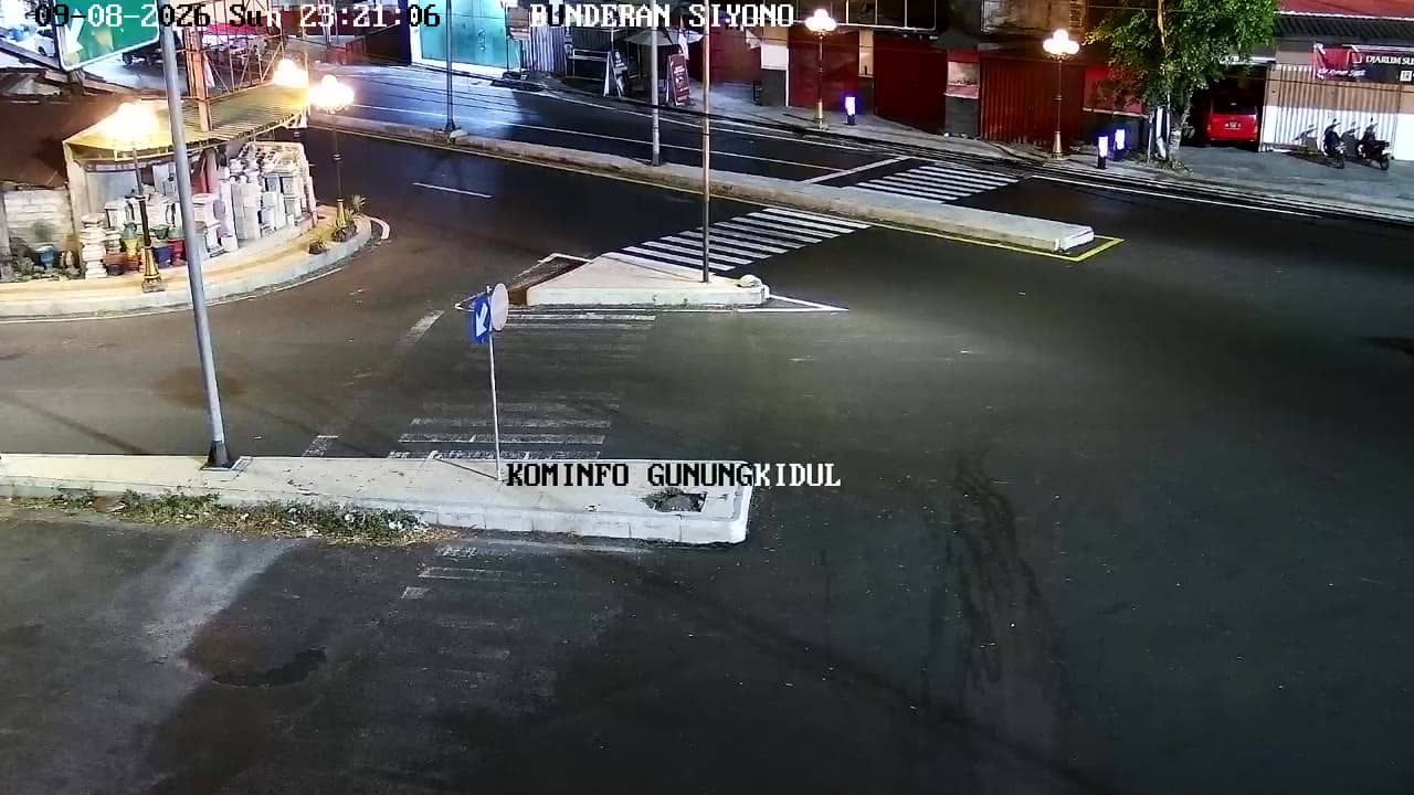
Yogyakarta, Indonesia — 2.3 km
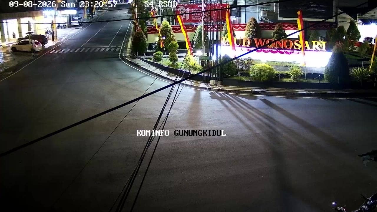
Yogyakarta, Indonesia — 2.4 km
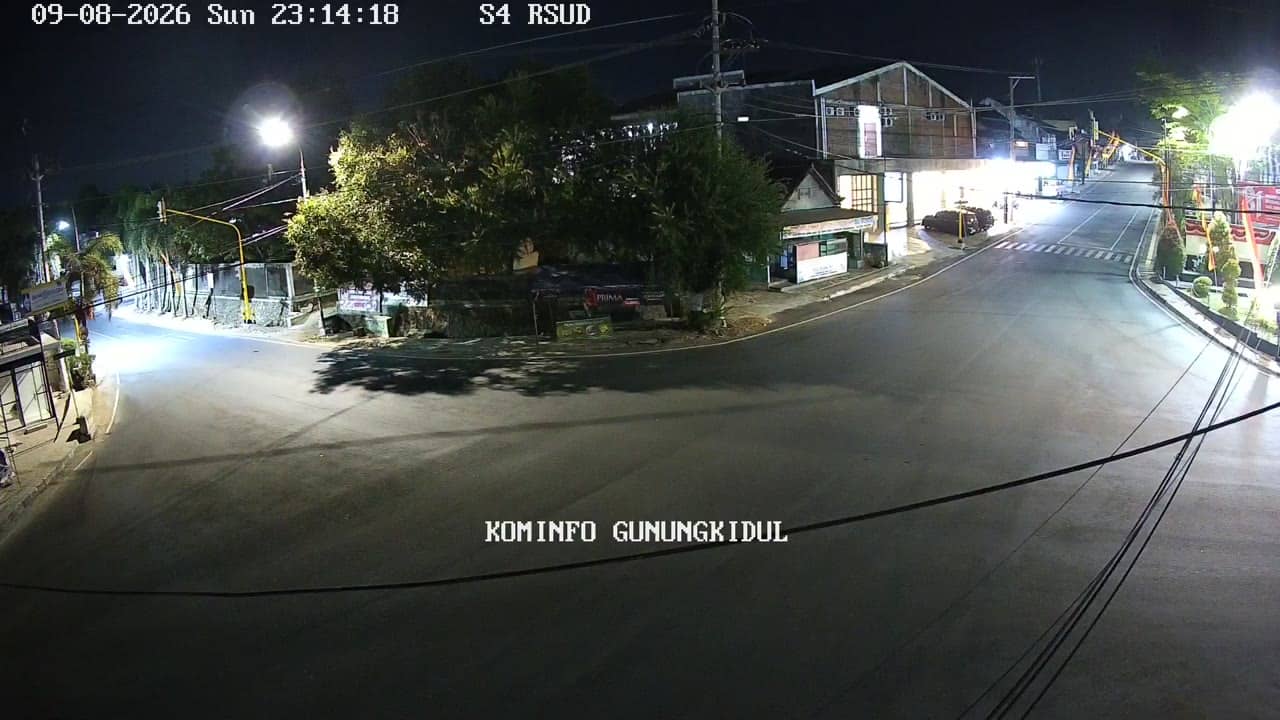
Yogyakarta, Indonesia — 2.4 km
The current conditions and the 3-day forecast for this area are shown in the live weather block on this page. They update automatically, so you can check them before you watch the stream.
The local time for Gunungkidul is displayed on this page and follows Western Indonesian Time. Use it to plan when to check the live view.
The camera is in the Gunungkidul regency, south-east of Yogyakarta, at approximately 202 metres altitude. The map on this page marks its position.
Morning and late afternoon usually show the most activity on a street view. For comfortable weather, the drier months from May to October are the easiest time to plan a visit.
Partner links: we may earn a commission at no extra cost to you.