
Gunungkidul - TuguSelamatDatangPatuk2
Yogyakarta, Indonesia — 0.2 km
The camera is temporarily offline
The owner's stream is not available right now. Try again later or watch a camera nearby.
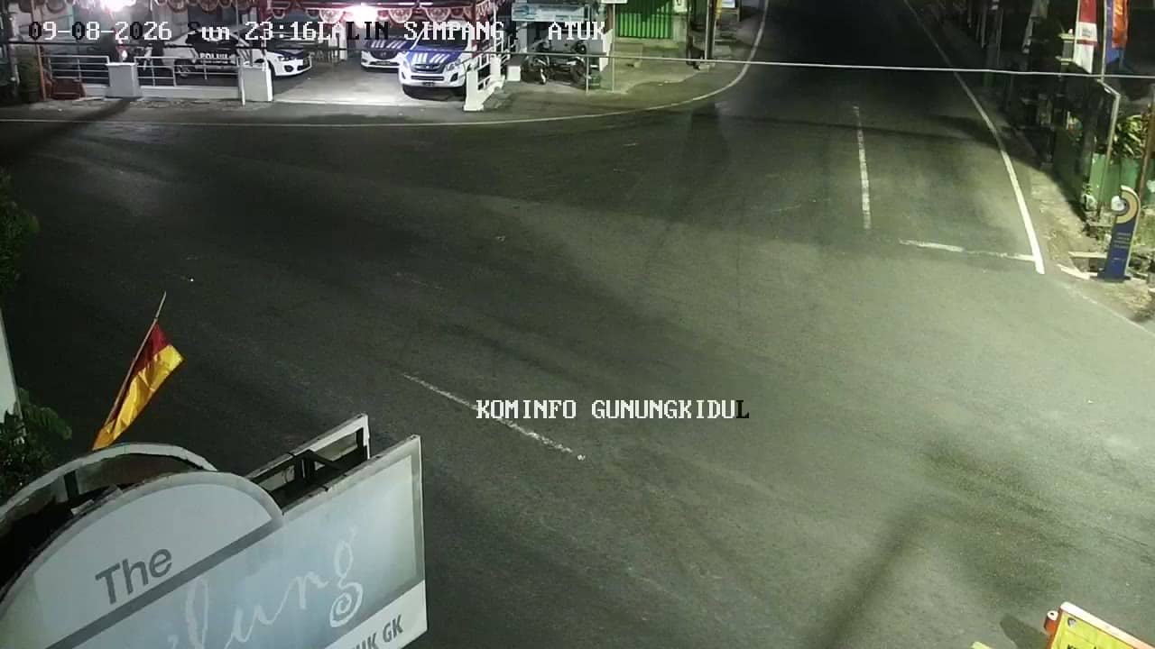
Gunungkidul - PerempatanPatuk
🇮🇩 Yogyakarta · Indonesia — Altitude 301 m
This live stream follows a junction in Patuk, a district of Gunungkidul regency on the edge of the Yogyakarta special region. It is a useful window onto everyday traffic and village life in the uplands south-east of the city. The page also shows local time and the weather forecast for the area.
Gunungkidul is a regency south-east of Yogyakarta, known for its limestone hills, karst landscape and dry, rocky terrain. Patuk sits at around 300 metres above sea level, so it is cooler and less crowded than the city below. The area is best known as a gateway to the southern coast and the caves and beaches that lie beyond the hills.
The title names a crossroads, so the view is most likely to show road traffic, passing motorbikes and roadside activity at a junction. Daytime is the most lively period, with morning and late afternoon commutes. Conditions vary with the weather, and you may see rain clouds building over the hills during the wet season.
Yogyakarta has a tropical climate with a wet season from roughly November to March and a drier season from April to October. Visitors usually travel by car or motorbike, since public transport in the regency is limited. Nearby cameras in Piyungan and at the Tugu Selamat Datang points in Patuk show other parts of the area.
Source: cctv.jogjaprov.go.id
Yogyakarta, Indonesia — 0.2 km

Yogyakarta, Indonesia — 0.2 km
Yogyakarta, Indonesia — 1.2 km
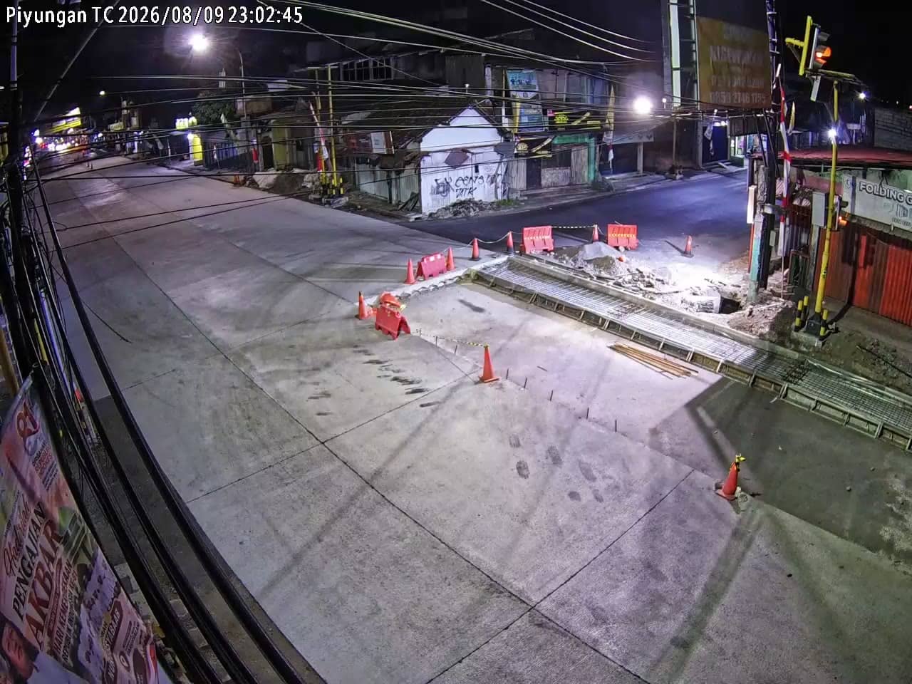
Yogyakarta, Indonesia — 1.2 km
Yogyakarta, Indonesia — 3.8 km
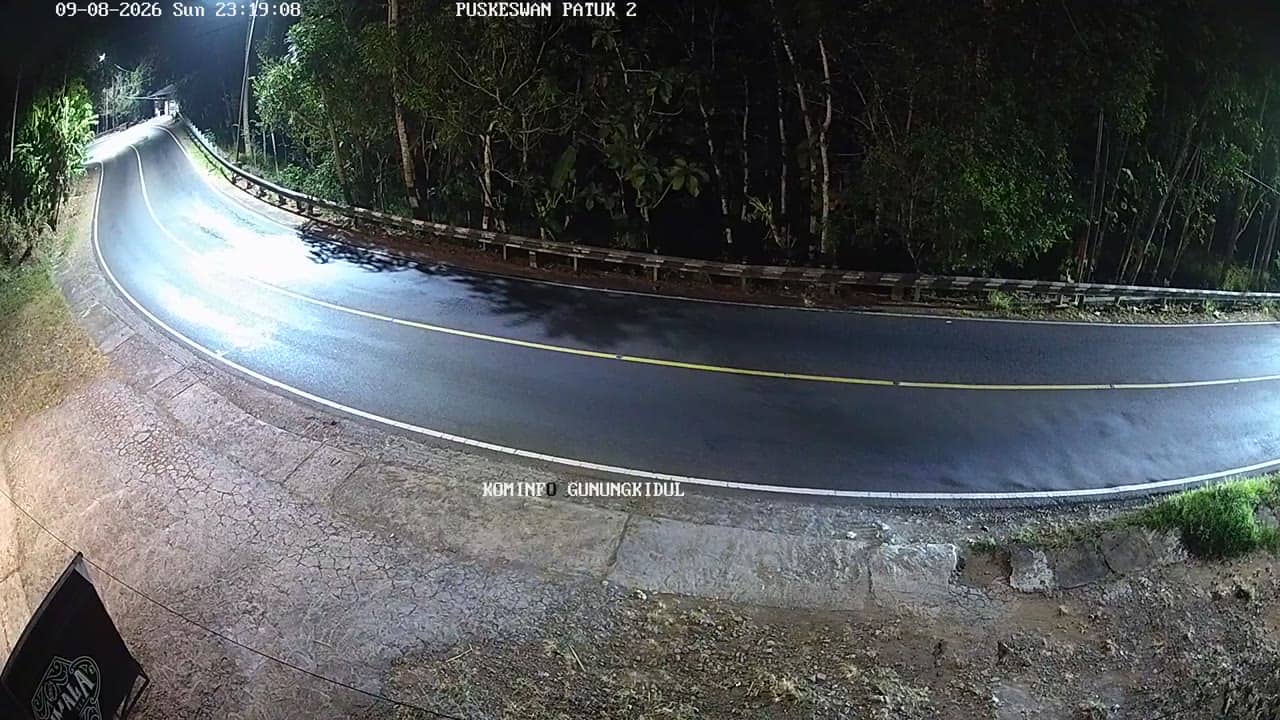
Yogyakarta, Indonesia — 4.6 km
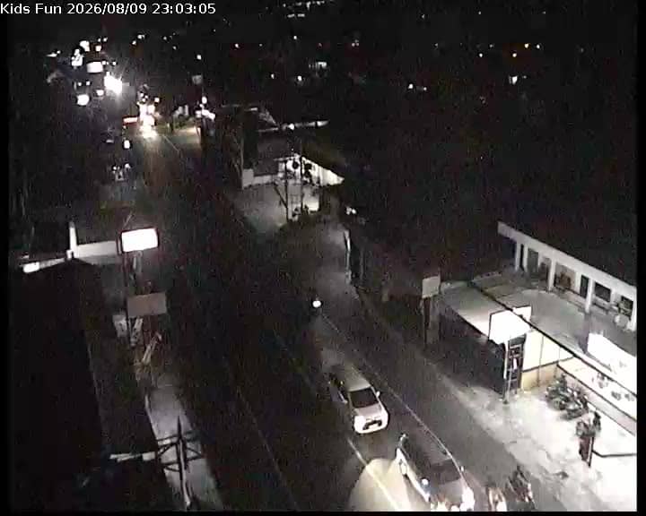
Yogyakarta, Indonesia — 4.9 km

Yogyakarta, Indonesia — 5.2 km
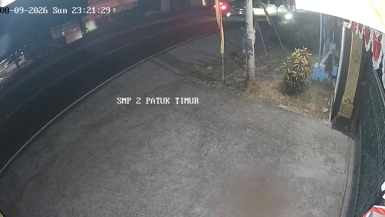
Yogyakarta, Indonesia — 5.3 km
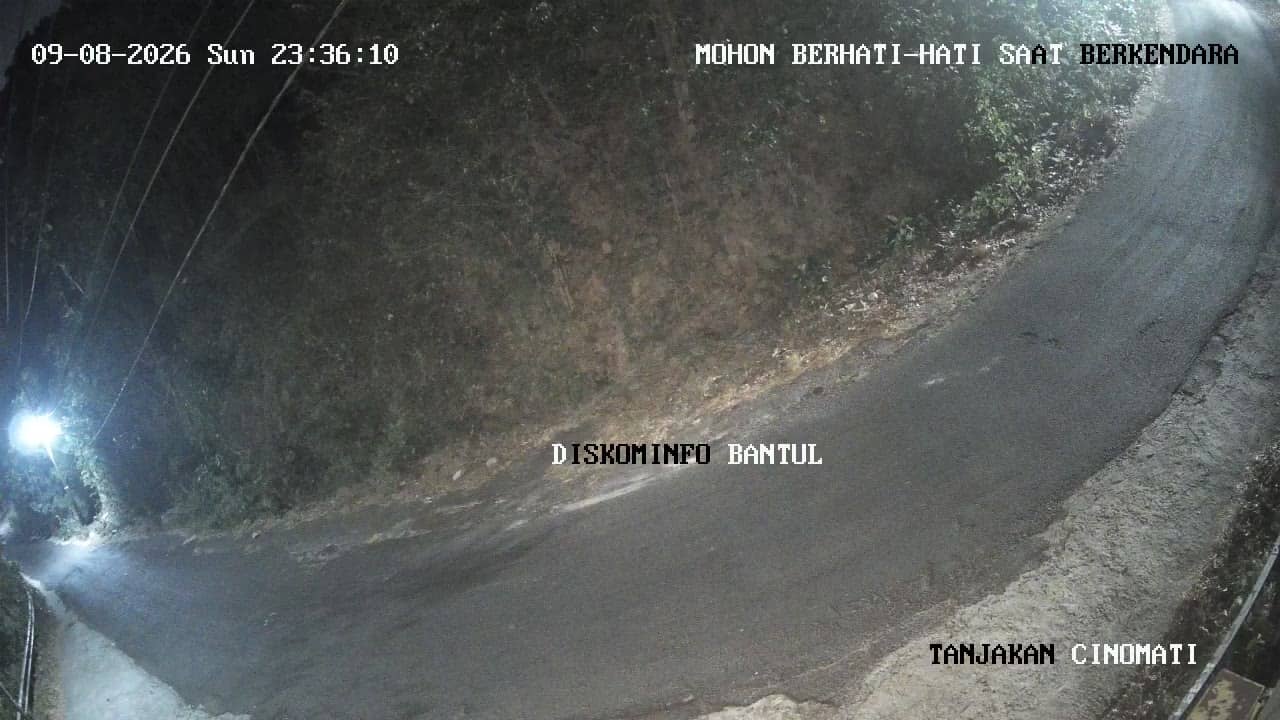
Yogyakarta, Indonesia — 5.9 km
The current conditions and a three-day forecast for Gunungkidul are shown in the weather block on this page. Values update with the live data.
The local time for the camera is displayed on this page and follows Indonesian Western Time. It updates automatically while you watch.
The camera is at a crossroads in Patuk, Gunungkidul regency, about 300 metres above sea level. The map on this page marks its position.
Daytime and the morning and late afternoon traffic peaks are usually the most active. In the wet season, watch for changing clouds over the surrounding hills.
Partner links: we may earn a commission at no extra cost to you.