
Gunungkidul - TuguSelamatDatangPatuk
Yogyakarta, Indonesia — 5.7 km
The camera is temporarily offline
The owner's stream is not available right now. Try again later or watch a camera nearby.
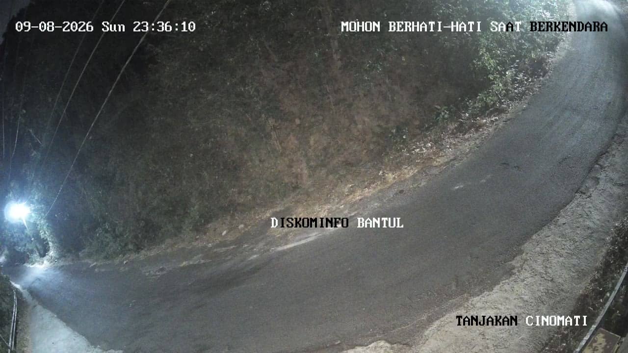
Bantul - TanjakanCinomati
🇮🇩 Yogyakarta · Indonesia — Altitude 208 m
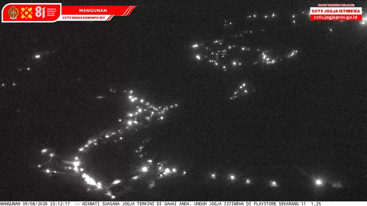
This live stream follows a road in Bantul, a regency just south of Yogyakarta on the island of Java. It is useful for checking traffic and conditions on the route before you travel. The view is a good way to gauge the weather in this part of central Java.
Bantul lies on the fertile plain south of Yogyakarta, a city known for its royal palace, batik workshops and temples. The regency stretches from rice fields and villages toward the Indian Ocean coast. The landscape here is shaped by volcanic soils from Mount Merapi, which is why farming has long been central to local life. Its low, green setting gives the area a calm, rural feel close to a major city.
The camera is categorised as a city view, so it most likely covers a street or junction rather than a landmark. Depending on the view, you may see passing vehicles, motorbikes and everyday roadside activity. Watching in the morning and late afternoon tends to show the busiest traffic, while midday heat can make the scene quieter. Rain is common in the wet season, which can change the appearance of the road quickly.
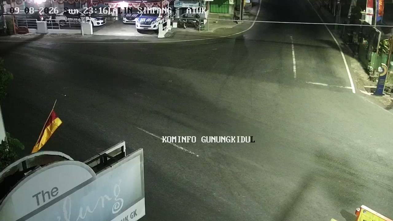
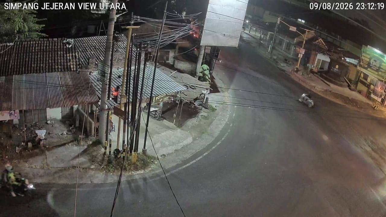
Yogyakarta and Bantul have a tropical climate with warm temperatures year-round. The dry season, roughly from May to October, is generally the most comfortable time to visit, while November to March brings heavier rain. Nearby cameras in Gunungkidul, including the Patuk welcome monument and Perempatan Patuk junction, cover the hills to the east, and a camera at Jejeran is also close by.
Source: cctv.jogjaprov.go.id
Yogyakarta, Indonesia — 5.7 km

Yogyakarta, Indonesia — 5.7 km
Yogyakarta, Indonesia — 5.9 km
Yogyakarta, Indonesia — 6.1 km
Yogyakarta, Indonesia — 6.1 km
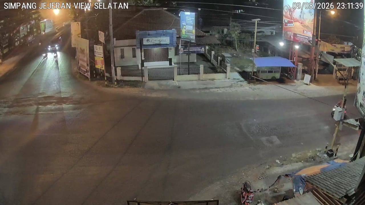
Yogyakarta, Indonesia — 6.2 km
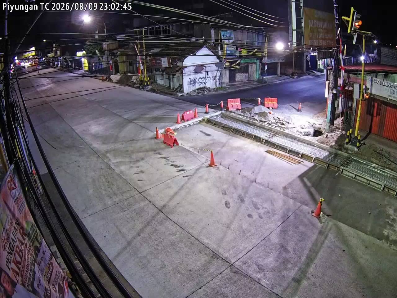
Yogyakarta, Indonesia — 6.3 km
Yogyakarta, Indonesia — 6.3 km
Yogyakarta, Indonesia — 6.4 km
Yogyakarta, Indonesia — 6.6 km
The current conditions and a three-day forecast are shown in the weather block on this page, updated for Bantul. Check it before planning a trip or assessing rain on the road.
The local time is displayed on this page and follows the Indonesian time zone used in Yogyakarta. It updates automatically so you can compare it with your own time.
The camera is in Bantul regency, just south of Yogyakarta city, at approximately 208 metres above sea level. The map on this page marks its position.
Morning and late afternoon usually show the most traffic and activity. Rainy-season afternoons can also be interesting, though the view may be less clear during downpours.
Partner links: we may earn a commission at no extra cost to you.