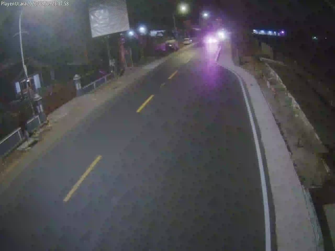
Gunungkidul - S3GadingUtara
Yogyakarta, Indonesia — 0 km
The camera is temporarily offline
The owner's stream is not available right now. Try again later or watch a camera nearby.
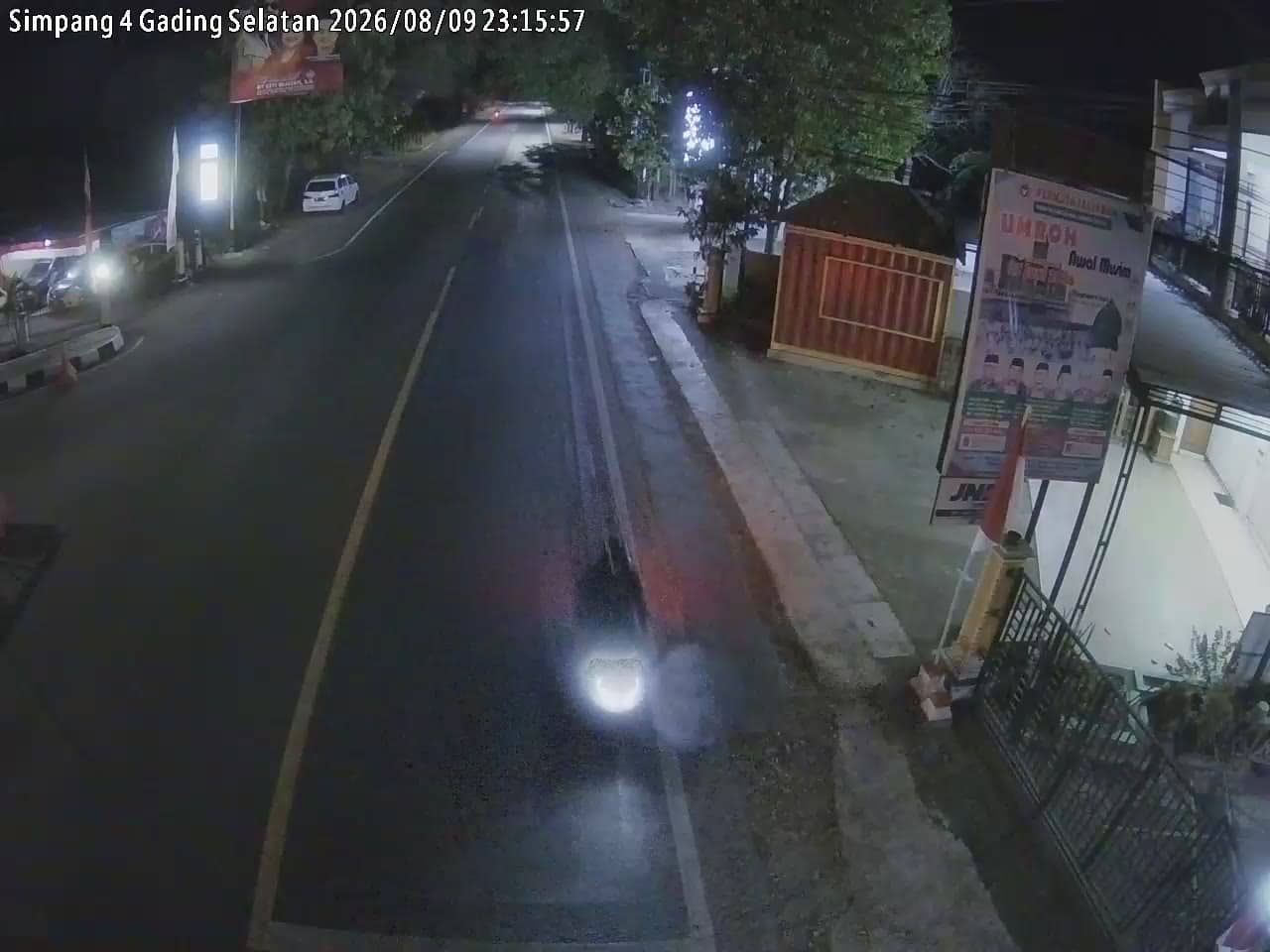
Gunungkidul - S3GadingSelatan
🇮🇩 Yogyakarta · Indonesia — Altitude 219 m
This live stream looks over a town-level view in Gunungkidul, a regency south of Yogyakarta on Java. It is useful for getting a sense of conditions here before you travel or simply for seeing how the area looks right now. The page also shows local time and weather alongside the picture.
Gunungkidul is a large regency stretching from the southern edge of Yogyakarta toward the Indian Ocean coast. Much of its land is karst terrain, with limestone hills, dry valleys and caves, and it is known for its coastline of beaches and cliffs. The regency is a common stop for travelers exploring the Yogyakarta region outside the city centre.
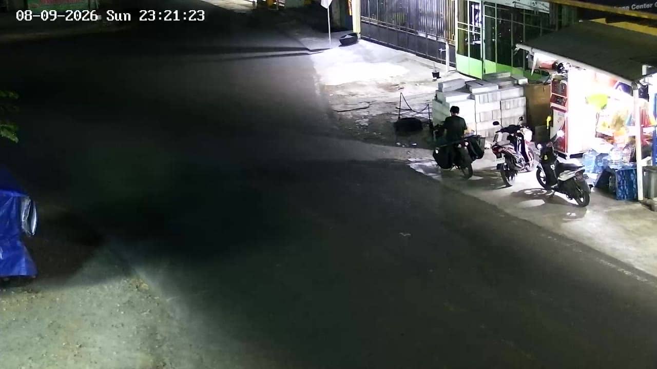
The stream is a live view tied to the Gunungkidul South Gading location. Depending on the view, you may see street traffic, roadside activity and changing light through the day. Mornings are often calm, while late afternoon brings more movement and softer colours. Rain showers are common in the wet season, so the image can change quickly.
Indonesia has a tropical climate, and Gunungkidul is warm year round. The drier months from roughly May to October are generally the most comfortable for travel, while November to March brings heavier rain. Nearby cameras in the same network, including Gading Utara, Gading Dome and Gading Timur, let you compare conditions across the area.
Source: cctv.jogjaprov.go.id
Yogyakarta, Indonesia — 0 km
Yogyakarta, Indonesia — 0 km
Yogyakarta, Indonesia — 0.4 km

Yogyakarta, Indonesia — 0.4 km
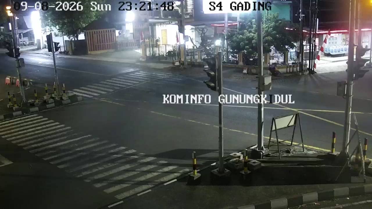
Yogyakarta, Indonesia — 0.4 km
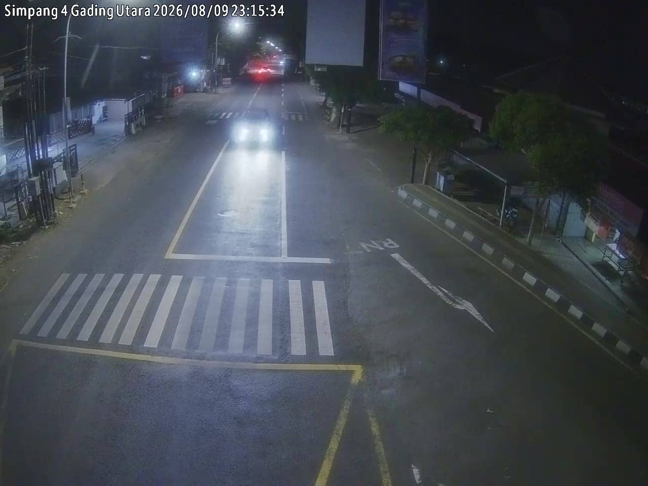
Yogyakarta, Indonesia — 0.5 km
Yogyakarta, Indonesia — 0.6 km
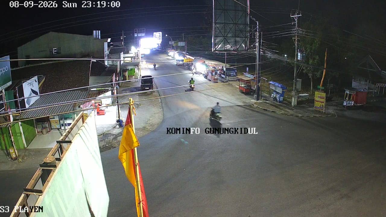
Yogyakarta, Indonesia — 3 km
Yogyakarta, Indonesia — 3 km
Yogyakarta, Indonesia — 3 km
The current weather and a three-day forecast for Gunungkidul are shown in the live weather block on this page. They update with the page and reflect the local conditions at the camera location.
The local time for Gunungkidul is displayed on this page and follows Western Indonesia Time. It is shown live so you can plan a call or visit without converting it yourself.
The camera is in the Gunungkidul regency south of Yogyakarta, at an elevation of about 219 metres. The map on this page marks its position and shows nearby cameras.
Daylight hours give the clearest view, and early morning or late afternoon are often the most pleasant. In the wet season, check the stream during dry spells to see the scene more clearly.
Partner links: we may earn a commission at no extra cost to you.