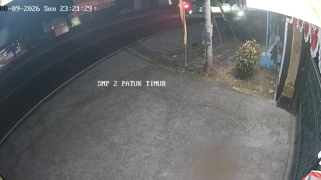
Gunungkidul - SMP2PatukTimur
Yogyakarta, Indonesia — 2.2 km
The camera is temporarily offline
The owner's stream is not available right now. Try again later or watch a camera nearby.
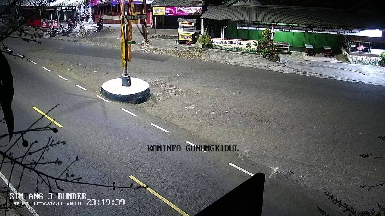
Gunungkidul - PertigaanBunder
🇮🇩 Yogyakarta · Indonesia — Altitude 168 m
This camera watches a busy junction in Gunungkidul regency, on the southern side of the Special Region of Yogyakarta. It is a practical window onto everyday road traffic in a rural-urban district. People check it to see how the road looks before travelling or to get a feel for the area.
Gunungkidul is a regency that stretches across the limestone plateau south-east of Yogyakarta city. Much of the land is karst, with dry uplands, caves and sinkholes, while the coast to the south is known for its cliffs and beaches. The district is largely agricultural and is the main gateway to the coastal areas that many visitors reach from Yogyakarta.
The title names a crossroads, so the view is most likely of roads and traffic rather than scenery. Depending on the angle, you may see motorbikes, cars and local transport moving through the junction. Activity tends to peak in the morning and late afternoon, and rain can change visibility quickly, so the live picture is useful for checking conditions.
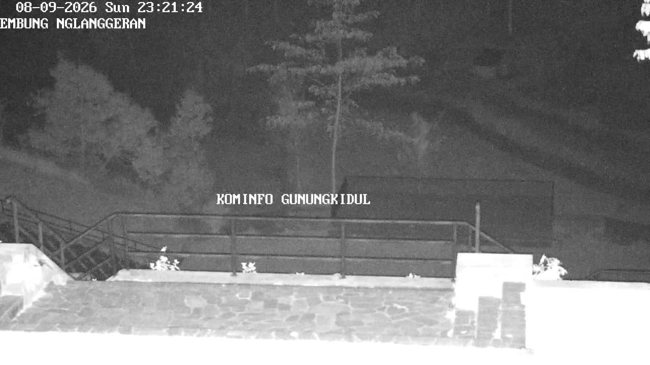
Gunungkidul has a tropical climate with a wet season from roughly November to March and a drier period from April to October, when the uplands are often more comfortable for travel. The regency is reached by road from Yogyakarta. Nearby cameras on this site cover Patuk and Putat in the same district, as well as the Embung Nglanggeran car park.
Source: cctv.jogjaprov.go.id
Yogyakarta, Indonesia — 2.2 km

Yogyakarta, Indonesia — 2.2 km
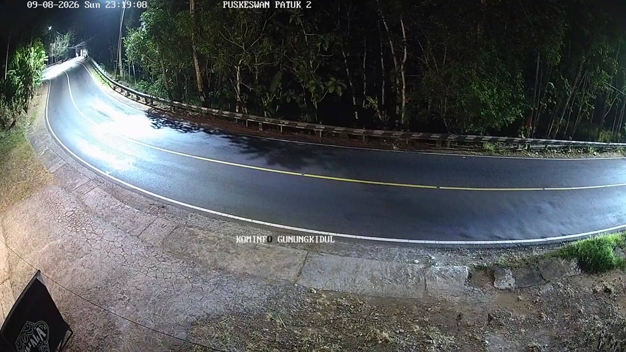
Yogyakarta, Indonesia — 2.8 km
Yogyakarta, Indonesia — 3.4 km
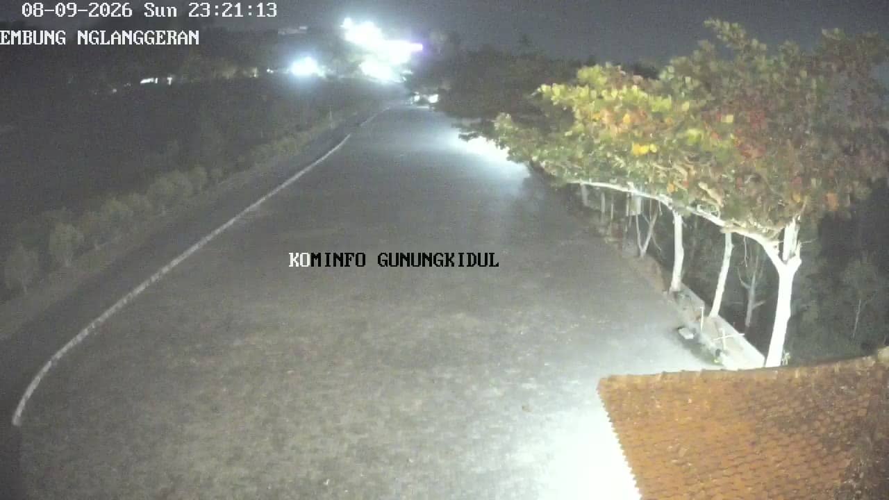
Yogyakarta, Indonesia — 3.4 km
Yogyakarta, Indonesia — 3.5 km
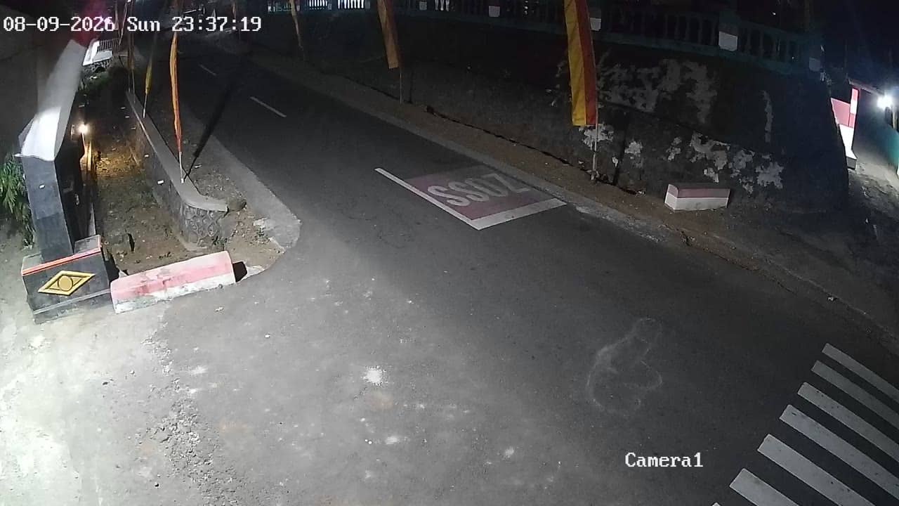
Yogyakarta, Indonesia — 3.7 km
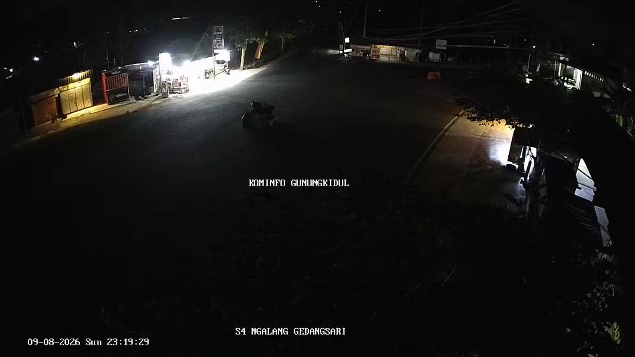
Yogyakarta, Indonesia — 4.2 km
Yogyakarta, Indonesia — 4.2 km
Yogyakarta, Indonesia — 4.3 km
Current conditions and a three-day forecast for Gunungkidul are shown in the weather block on this page. The values update automatically, so you do not need to refresh the page manually.
The local time for Gunungkidul is displayed on this page and follows the Western Indonesia time zone. It is shown in real time alongside the live camera.
The camera is at a crossroads in Gunungkidul regency, south-east of Yogyakarta city, at an altitude of about 168 metres. The map on this page marks its position.
Traffic is usually heaviest in the morning and late afternoon. Weather matters too, since the wet season can bring rain that reduces visibility, so check the live view and forecast together.
Partner links: we may earn a commission at no extra cost to you.