Gunungkidul - ParkiranEmbungNglanggeranFix
Yogyakarta, Indonesia — 0 km
The camera is temporarily offline
The owner's stream is not available right now. Try again later or watch a camera nearby.
Gunungkidul - ParkiranEmbungNglanggeranPTZ
🇮🇩 Yogyakarta · Indonesia — Altitude 429 m
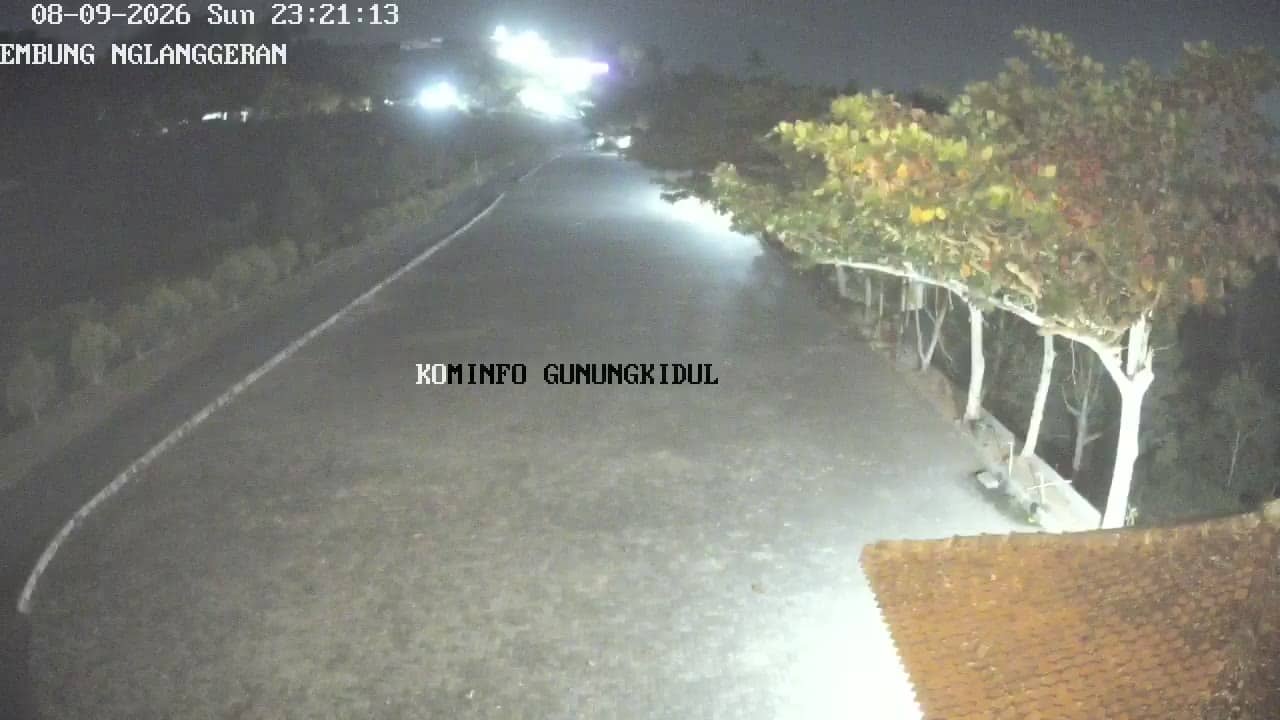
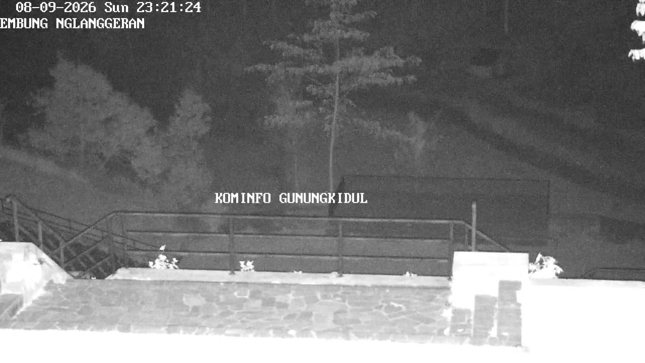
This pan-tilt camera watches the parking area near Embung Nglanggeran, a reservoir in the hills of Gunungkidul, a regency south-east of Yogyakarta on Java. It is useful if you are planning a visit to the area or simply want to see how conditions look in this part of the uplands right now.
Gunungkidul is a karst region of limestone hills, dry valleys and caves, and Nglanggeran is known for its volcanic-origin rock formations and the small reservoir, or embung, that gives the village its landmark. The area sits at roughly 430 metres above sea level, so it is usually cooler and breezier than the city of Yogyakarta. The landscape is green in the wet season and much drier in the months of little rain.
The camera is aimed at a parking area, which suggests a view of visitor traffic, parked vehicles and the approach road to the viewpoints. Because it is a pan-tilt model, the framing can change over time. Mornings are often the clearest for seeing the hills, while afternoon clouds can build quickly over the uplands and soften the view.
The drier months from roughly April to October are generally the most comfortable for visiting, while the wet season brings heavier rain and slippery paths. Nearby cameras cover the Nglanggeran viewpoint and other spots in the district, so you can compare conditions across the area. Bring water and sun protection, as the open hillside offers little shade.
Source: cctv.jogjaprov.go.id
Yogyakarta, Indonesia — 0 km
Yogyakarta, Indonesia — 0.2 km
Yogyakarta, Indonesia — 1.6 km
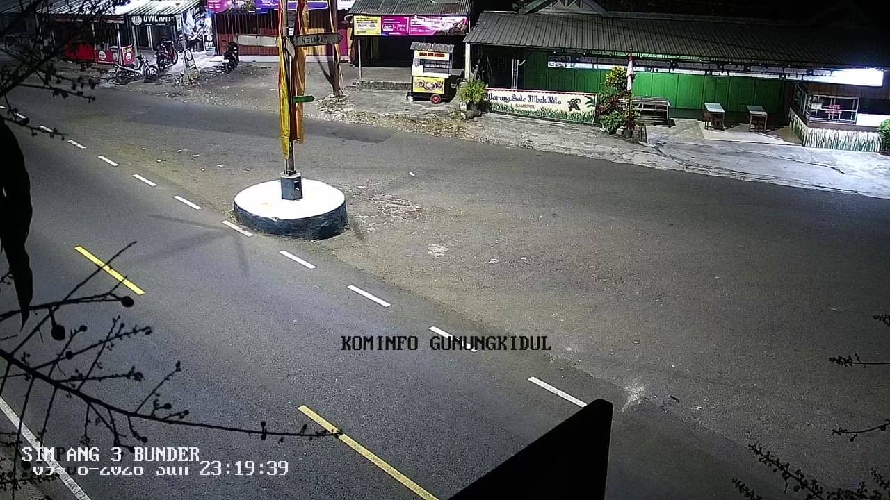
Yogyakarta, Indonesia — 3.4 km

Yogyakarta, Indonesia — 3.5 km
Yogyakarta, Indonesia — 3.5 km
Yogyakarta, Indonesia — 3.6 km
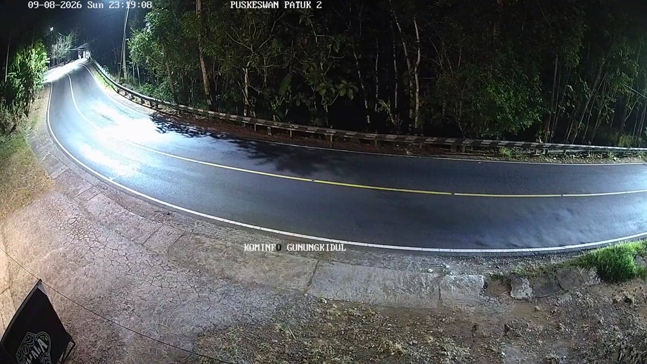
Yogyakarta, Indonesia — 3.8 km
Yogyakarta, Indonesia — 5.5 km
Yogyakarta, Indonesia — 5.5 km
The current conditions and a three-day forecast for Gunungkidul are shown in the live weather block on this page. They update with the camera view.
The local time for this camera is displayed on the page. Gunungkidul uses Western Indonesia Time.
The camera is at the parking area near Embung Nglanggeran in Gunungkidul regency, Yogyakarta, at about 430 metres altitude. The map on this page shows its exact position.
Early morning tends to give the clearest view of the hills before clouds build. The drier months from April to October usually offer the most stable conditions.
Partner links: we may earn a commission at no extra cost to you.