Hakodate
Hokkaido, Japan — 3.5 km
Hakodate
🇯🇵 Hokkaido · Japan — Altitude 338 m
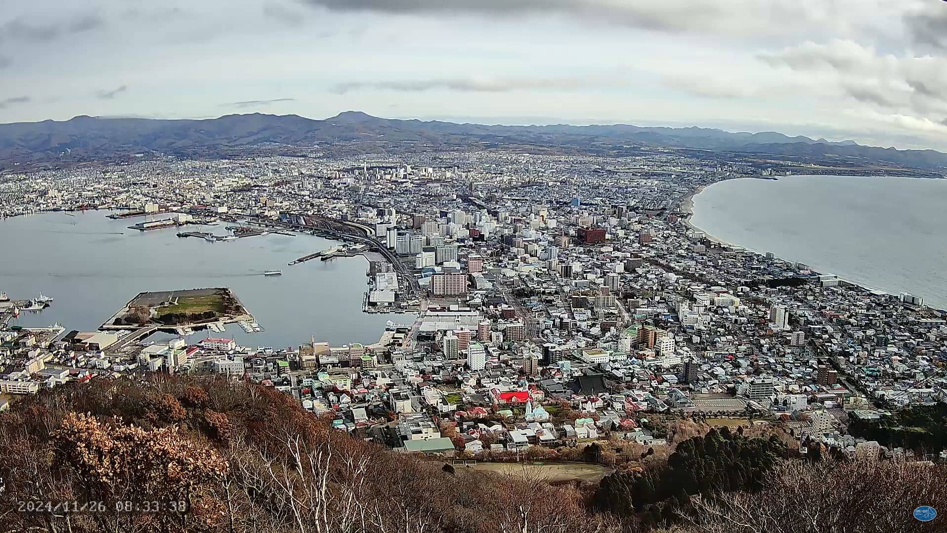
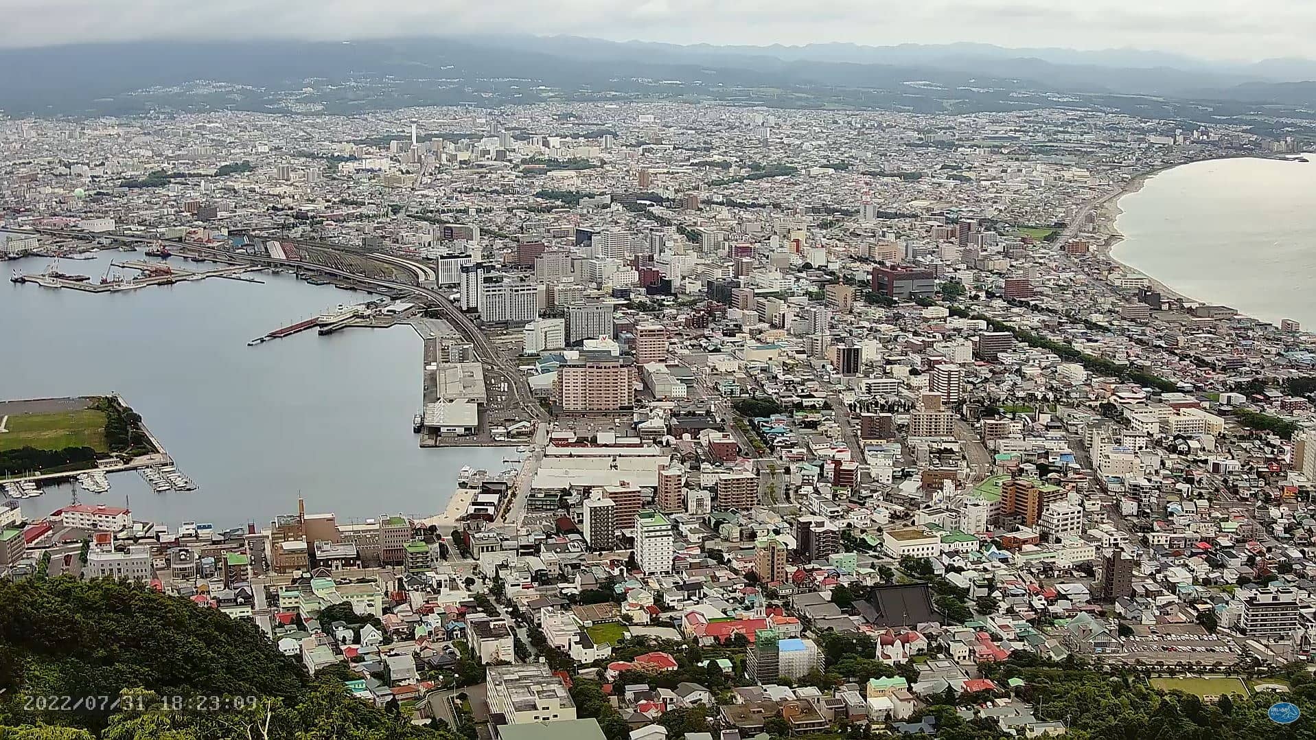
This live stream looks down over the city of Hakodate from the Mt Hakodate Observatory on the hill above town. It is a simple way to see how the port, the bay and the surrounding streets look right now, without travelling to Hokkaido. Check it before a visit to judge daylight and cloud, or just to watch the city change through the day.
Hakodate is a port city on the southern coast of Hokkaido, the northernmost of Japan's main islands. It grew up around a natural harbour and became one of the country's first ports opened to foreign trade in the nineteenth century, which left a mix of old merchant architecture and European-style buildings. The city sits between the sea and steep hills, so its streets climb in a fan shape from the waterfront. The landscape is a major part of its appeal, and the view from the hill is among the most familiar in the region.
The stream is a wide view over the harbour and the city rather than a close shot of a single spot. Depending on the weather, you may see the bay, the ferries and fishing boats moving in the water, and the lights of the town after dark. Clear days give the sharpest view, while fog or low cloud can hide the lower streets. Evenings are often the most atmospheric, when the city lights come on and the harbour reflects them. The picture belongs to its owner and is embedded here with a link to the source.
Hakodate has a cool, humid climate, with the warmest weather usually in late summer and the most snow in winter, so conditions vary a lot across the year. Spring and autumn are often mild and pleasant for walking the hills and the waterfront. Other cameras nearby on VizCams include the Hakodate view a few kilometres away, Onumacho about 22 kilometres off, Nanae at around 26 kilometres, and Imabetsu's port further along the coast. Use the weather and local time blocks on this page to plan around them.
Source: Mt Hakodate Observatory
Hokkaido, Japan — 3.5 km
Hokkaido, Japan — 22 km
Hokkaido, Japan — 26 km
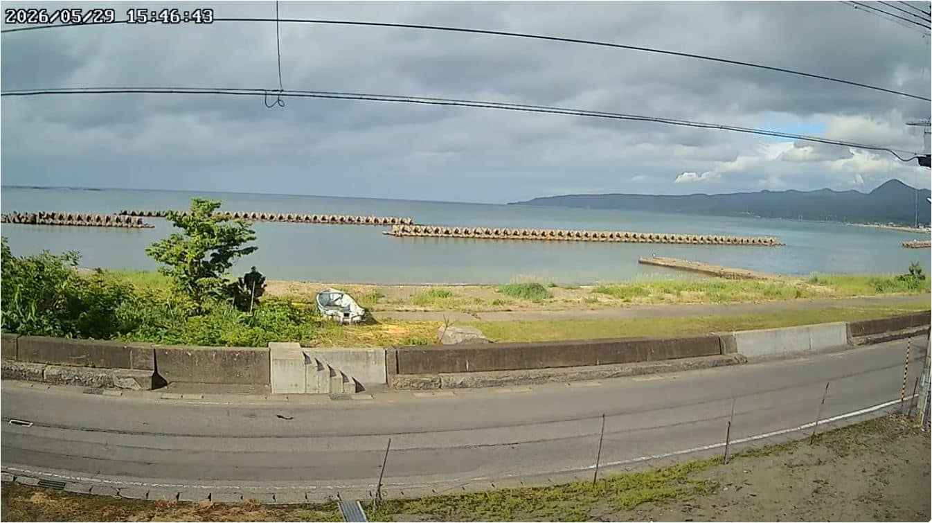
Akita, Japan — 67 km
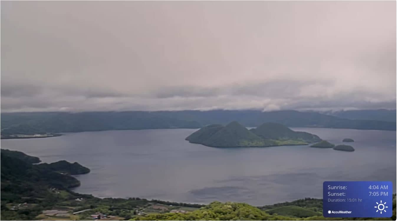
Hokkaido, Japan — 93 km
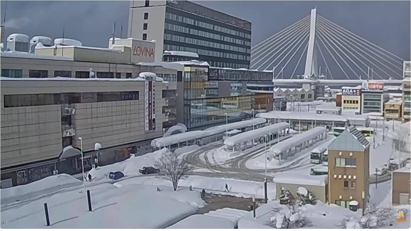
Akita, Japan — 104 km
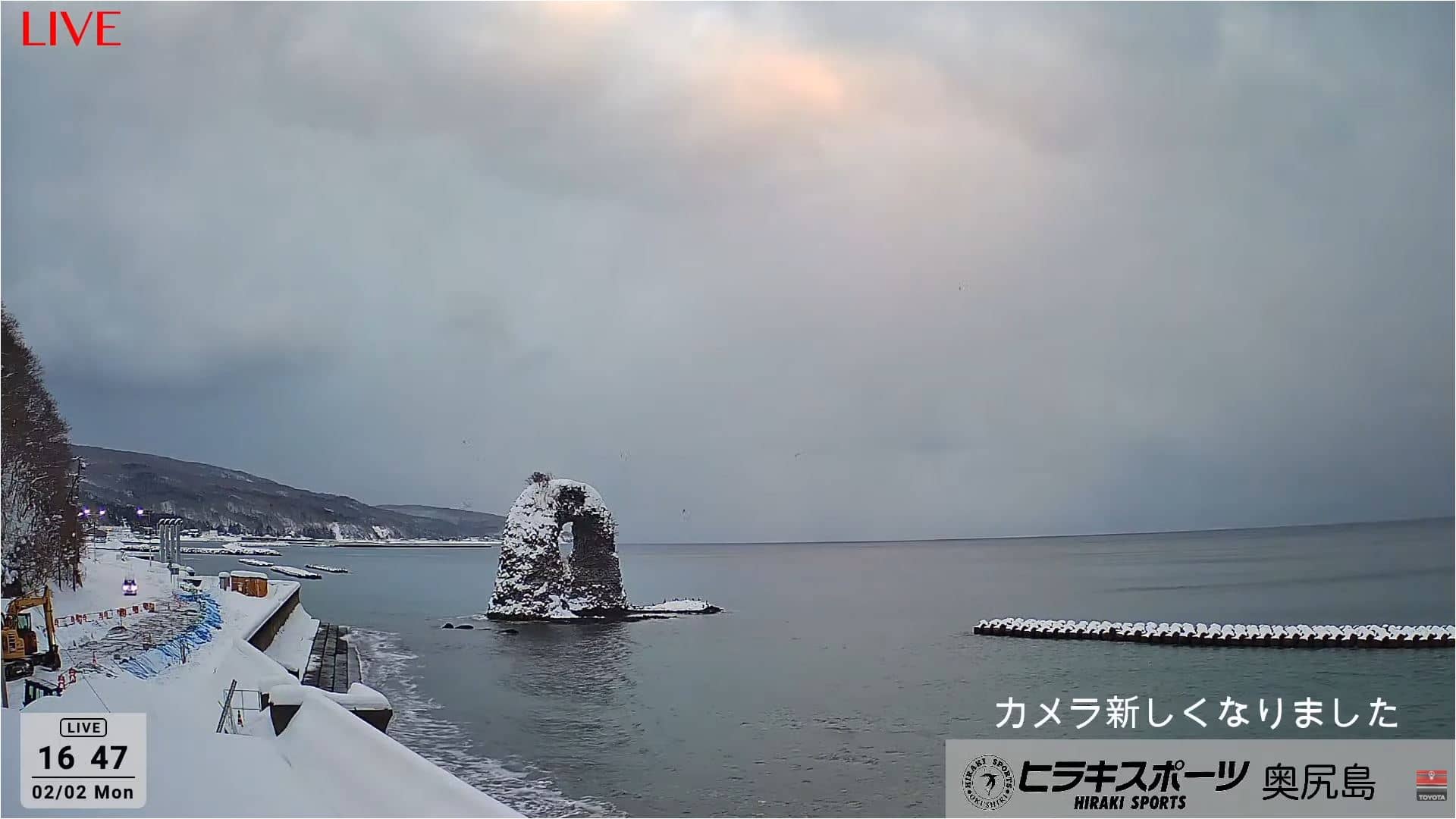
Hokkaido, Japan — 108 km
Akita, Japan — 109 km
Akita, Japan — 114 km
Hokkaido, Japan — 116 km
The current conditions and a three-day forecast are shown in the live weather block on this page. They update automatically, so you can compare them with what the camera shows.
The local time for Hakodate is displayed on this page and follows Japan's time zone. It is useful for judging whether the view is in daylight or after dark.
The camera is at the Mt Hakodate Observatory, on a hill about 330 metres above the city, overlooking the harbour. The map on this page shows its position.
Clear afternoons give the most detail, and evenings are popular for the city lights over the bay. Fog and snow are common in some seasons, so check the live weather block first.
Partner links: we may earn a commission at no extra cost to you.