Hakodate
Hokkaido, Japan — 3.5 km
🇯🇵 Hokkaido · Japan — Altitude 11 m
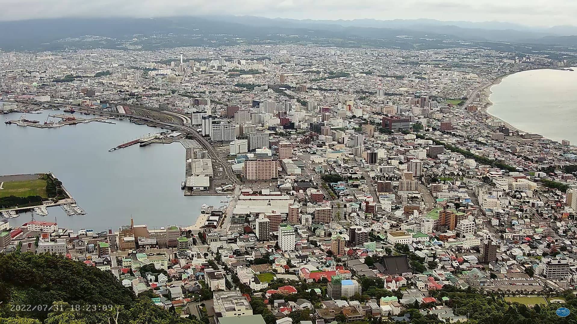
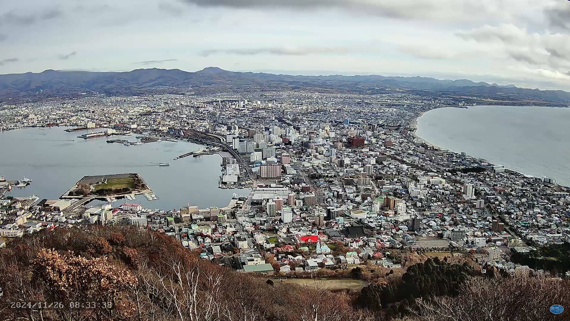
This live stream looks out over Hakodate, the port city at the southern tip of Hokkaido. Tune in to follow the city's harbour and coastal rhythm as it unfolds in real time. The page also shows local time and the current weather, so you can judge conditions before you plan a visit.
Hakodate sits on a narrow peninsula between a bay and the Pacific side of Hokkaido. It grew around its harbour, which opened to foreign ships in the nineteenth century, and it remains known for its fresh seafood, its morning market and its old Western-style merchant houses. The hills behind the city give it a compact, layered look, with the water always close at hand.
Because the camera overlooks a working port city, the view changes with the tides, the ferries and the traffic on the waterfront. Early morning and late afternoon tend to bring the softest light and the most activity around the harbour. Clear days are the most rewarding for watching, while low cloud or snow can soften the scene considerably.
Hakodate has a cool, humid climate with cold, snowy winters and mild, fairly wet summers. Spring and early autumn are often the most comfortable times to visit. Nearby cameras cover Onumacho, Nanae and Imabetsu, which give a wider picture of the region's coast and countryside.
Source: Hokkaido Hakodate
Hokkaido, Japan — 3.5 km
Hokkaido, Japan — 20 km
Hokkaido, Japan — 24 km
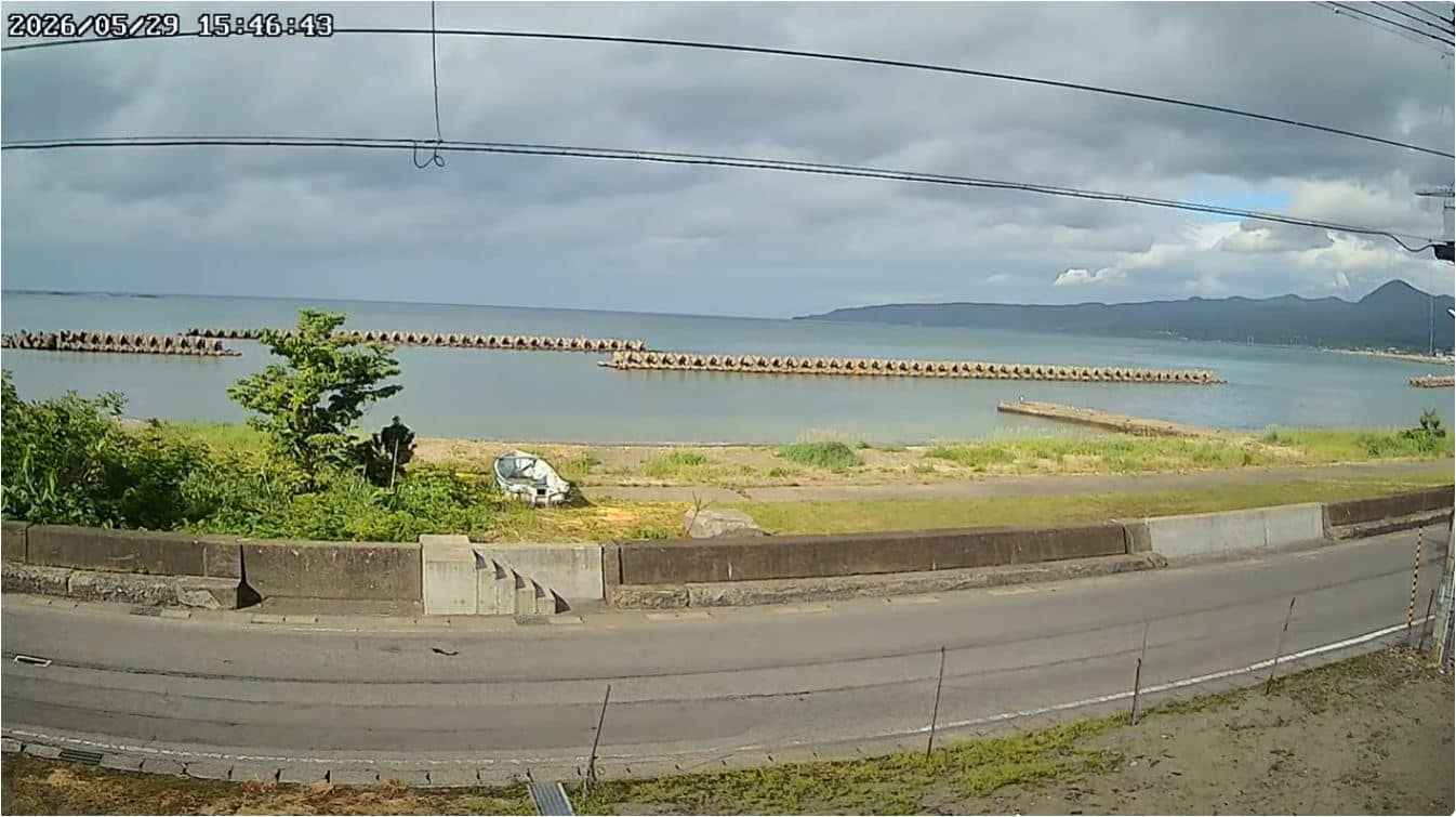
Akita, Japan — 70 km
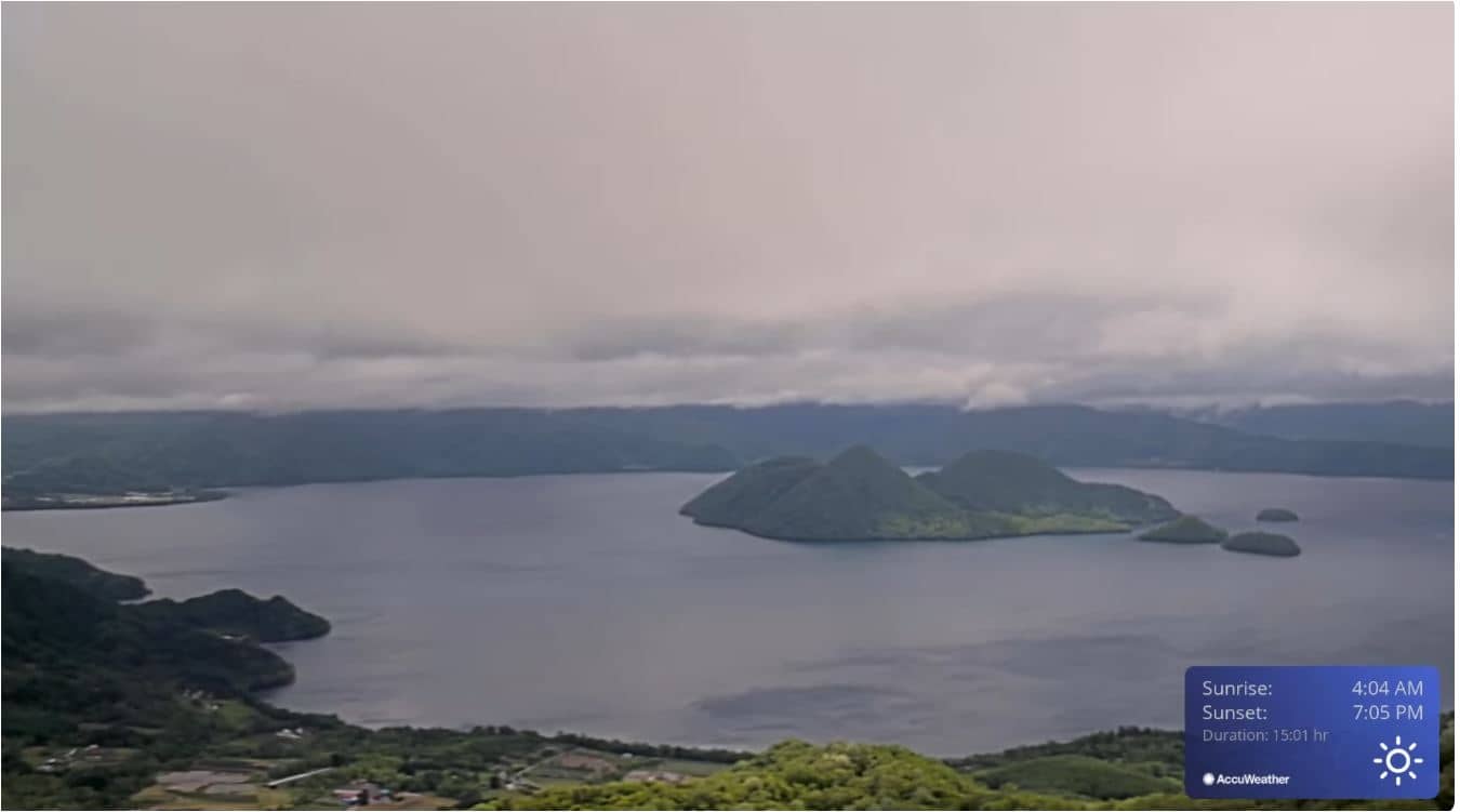
Hokkaido, Japan — 90 km
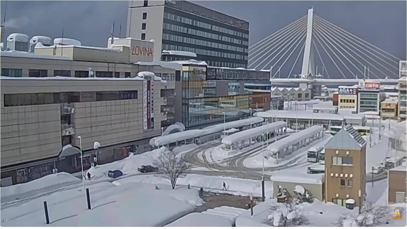
Akita, Japan — 106 km
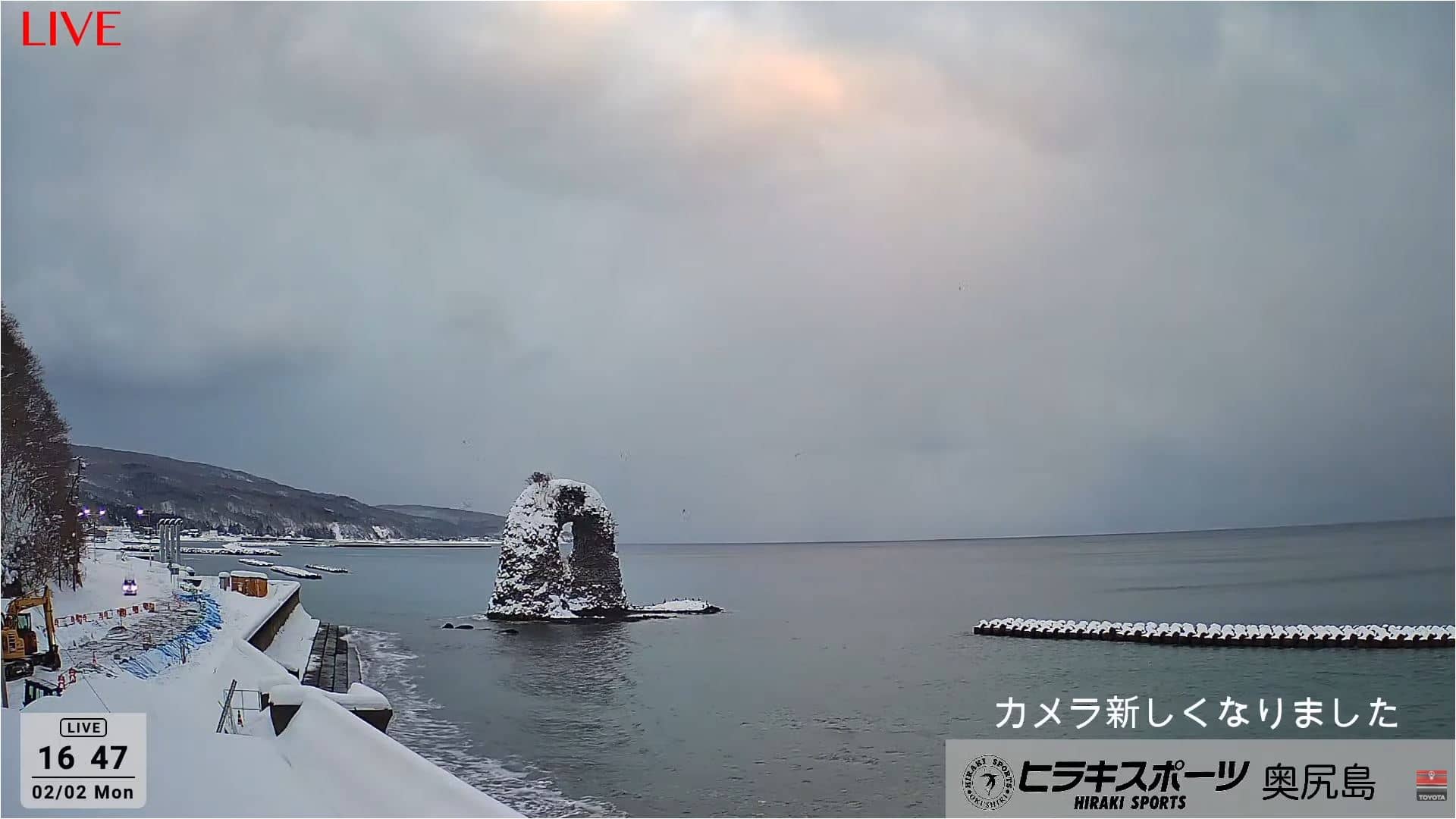
Hokkaido, Japan — 109 km
Akita, Japan — 112 km
Hokkaido, Japan — 113 km
Hokkaido, Japan — 113 km
The current weather and a three-day forecast for Hakodate are shown in the live block on this page. They update with the page, so you can check conditions before you watch the stream.
The local time for Hakodate is shown on this page, based on the Japan time zone. It is displayed in the live block so you can compare it with your own time.
The camera is in Hakodate on the southern coast of Hokkaido, Japan, at about 11 metres above sea level. A map on the page marks its position and the nearby cameras.
Daylight hours show the harbour and waterfront most clearly, especially in the morning and late afternoon. Clear weather gives the best view, so check the forecast shown on the page.
Partner links: we may earn a commission at no extra cost to you.