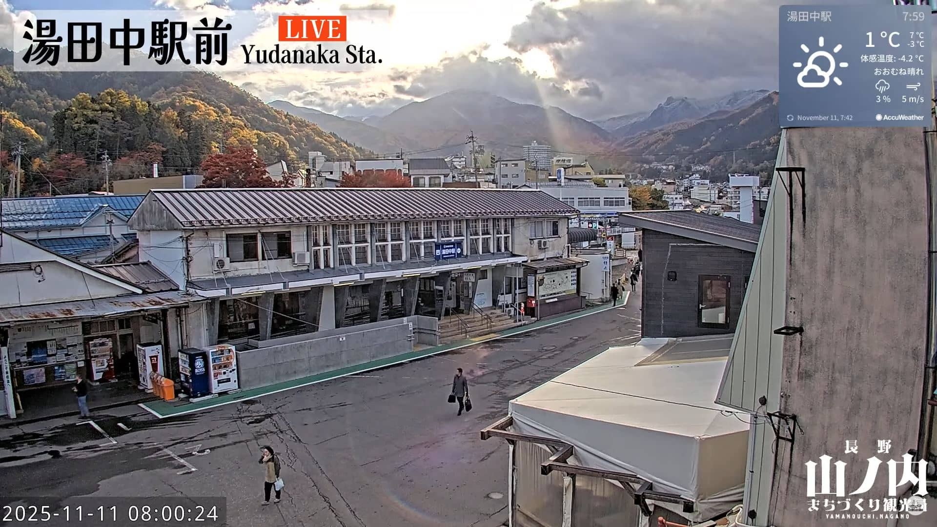
Yamanouchi
Nagano, Japan — 7.2 km
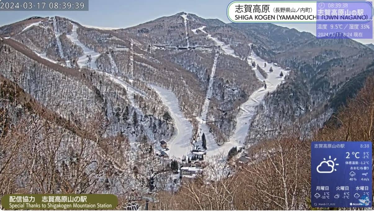
Shiga Kogen
🇯🇵 Nagano · Japan — Altitude 1414 m
This live camera looks out over Shiga Kogen, a high plateau of ski runs and forest in Nagano Prefecture. It is useful for seeing how the mountain looks right now, whether snow is settling on the slopes, and what the sky is doing above the ridgelines.
Shiga Kogen sits at around 1,400 metres in the Japan Alps region of central Honshu. It is one of the largest ski areas in Japan, made up of many interconnected mountains that share a single lift network. The landscape is a mix of open slopes, birch and conifer woodland, and volcanic terrain shaped by the surrounding peaks. Nagano is known for its mountain culture, hot springs and traditional villages, and the area is a popular base for both winter sports and summer hiking.
Because this is a mountain view, the most informative moments are the morning, when cloud often clears from the peaks, and the hours after fresh snowfall, when the slopes turn bright white. Depending on the framing, you may see skiers and snowboarders on the runs, lift activity, or the changing light across the forest. Clear winter days tend to give the sharpest views, while overcast or windy weather can hide the upper slopes for long stretches.
Winters here are cold and snowy, with heavy snowfall between December and March, which is why the resort is busiest then. Spring and autumn are milder and quieter, and summer offers cooler temperatures than the lowlands, suited to walking. Mountain weather can change quickly, so check the live weather block on this page before you travel. The nearby Yamanouchi, Kusatsu and Madarao Kogen cameras show other parts of the region.
Nagano, Japan — 7.2 km
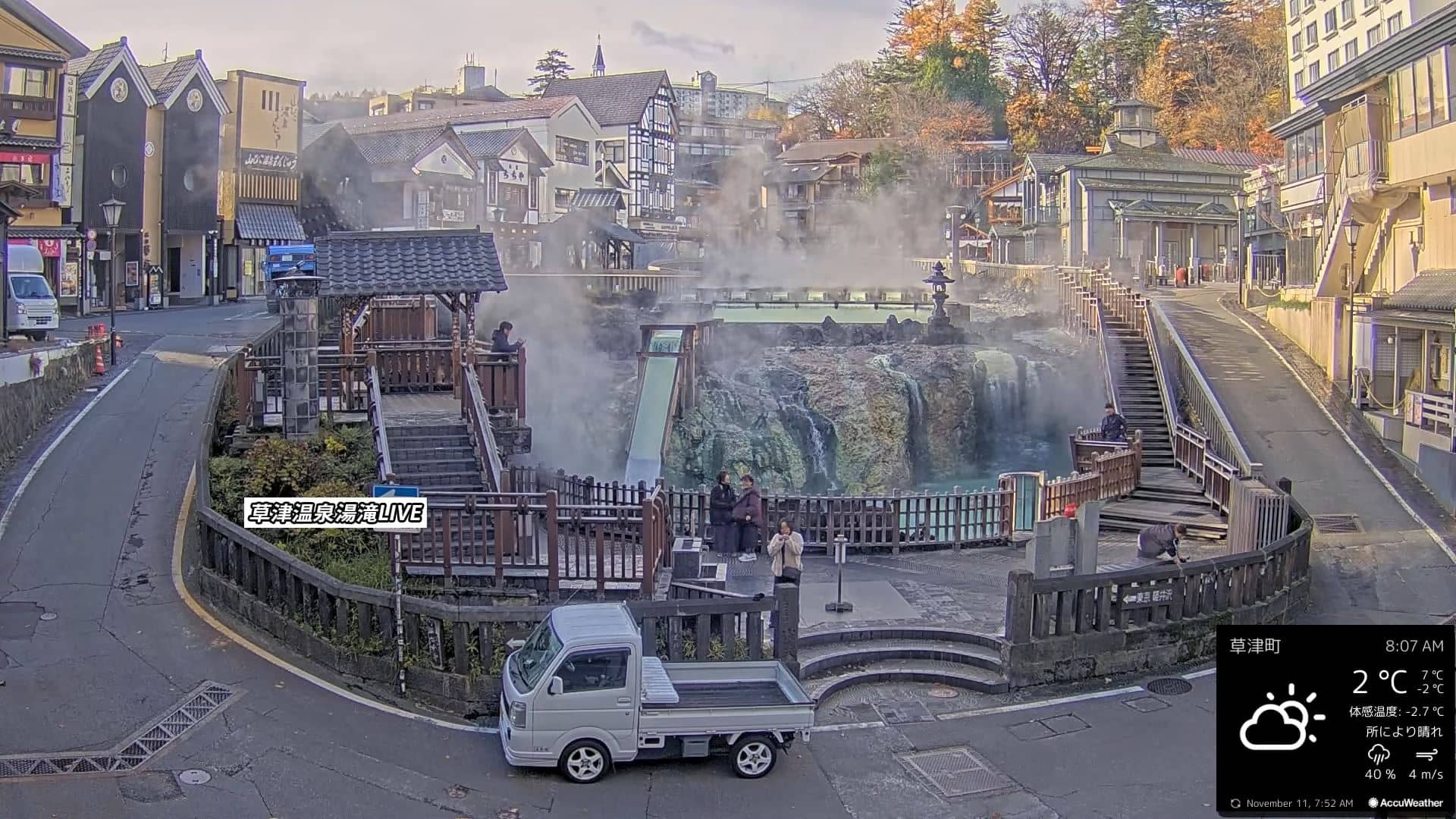
Gunma, Japan — 12 km
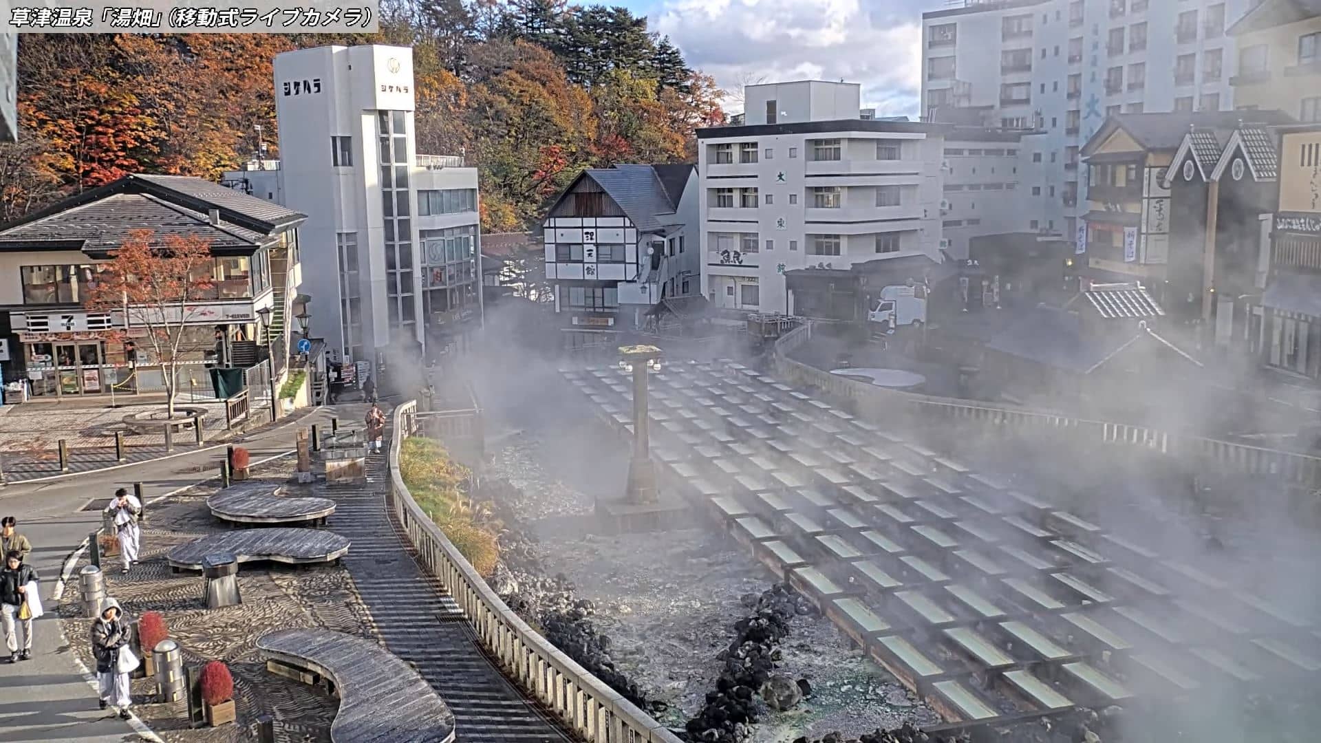
Gunma, Japan — 14 km
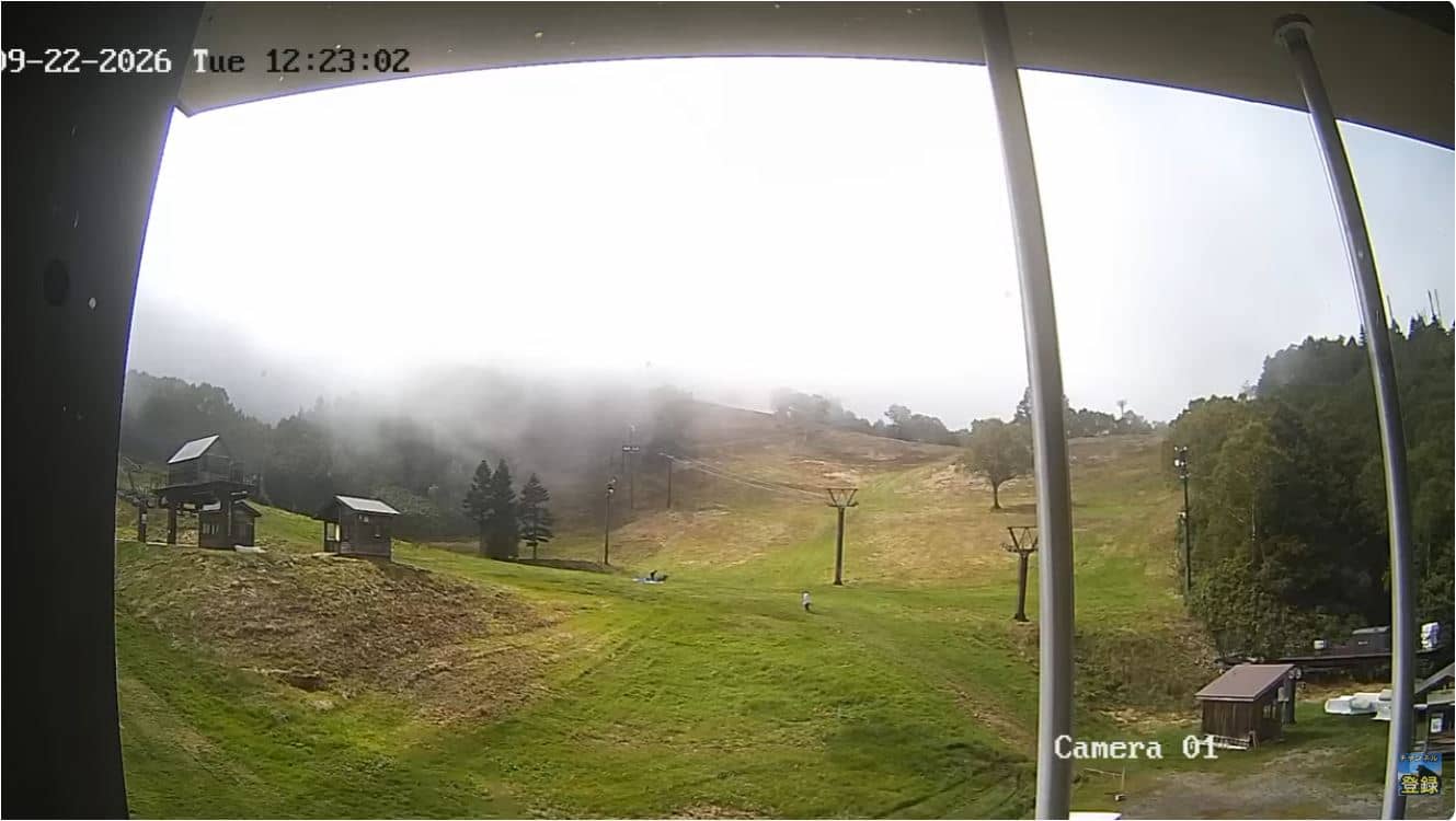
Nagano, Japan — 15 km
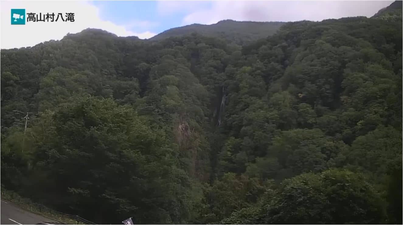
Nagano, Japan — 18 km
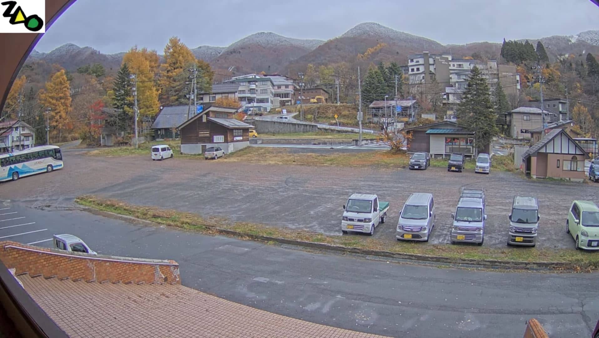
Toyama, Japan — 25 km
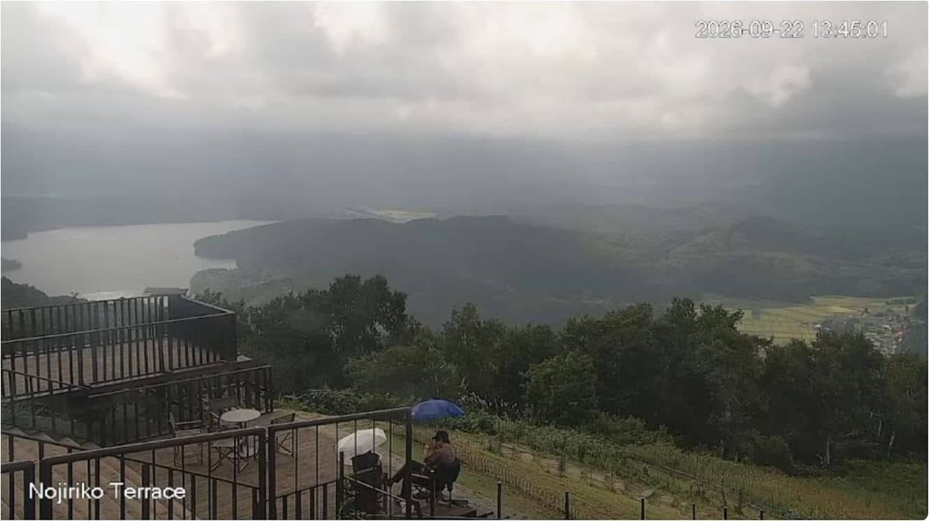
Nagano, Japan — 25 km
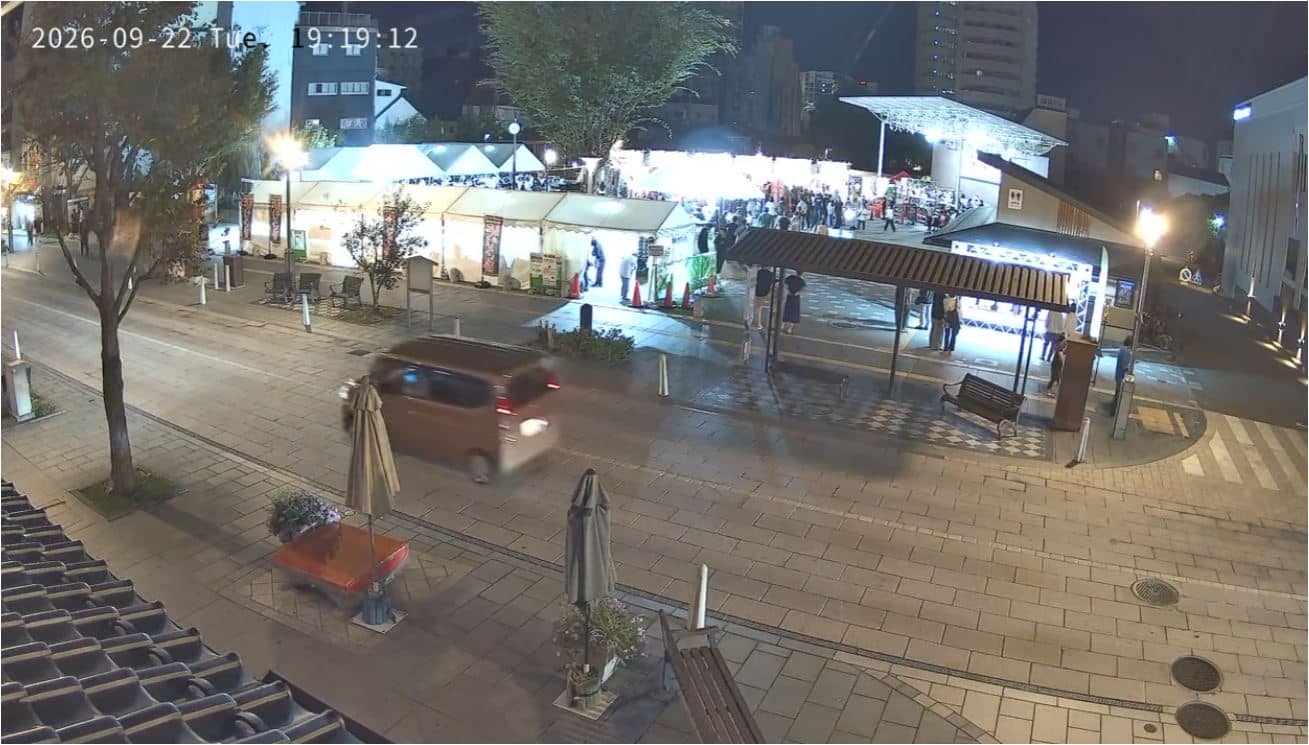
Nagano, Japan — 28 km
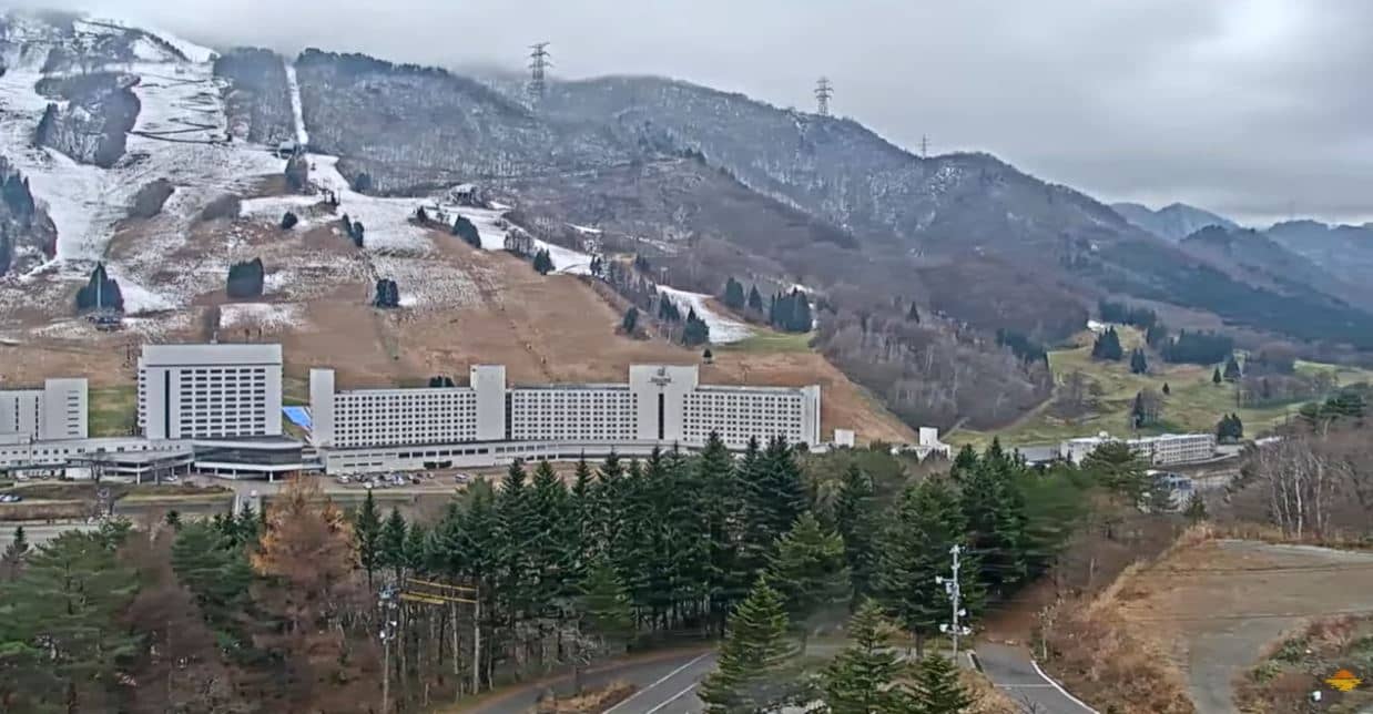
Niigata, Japan — 28 km
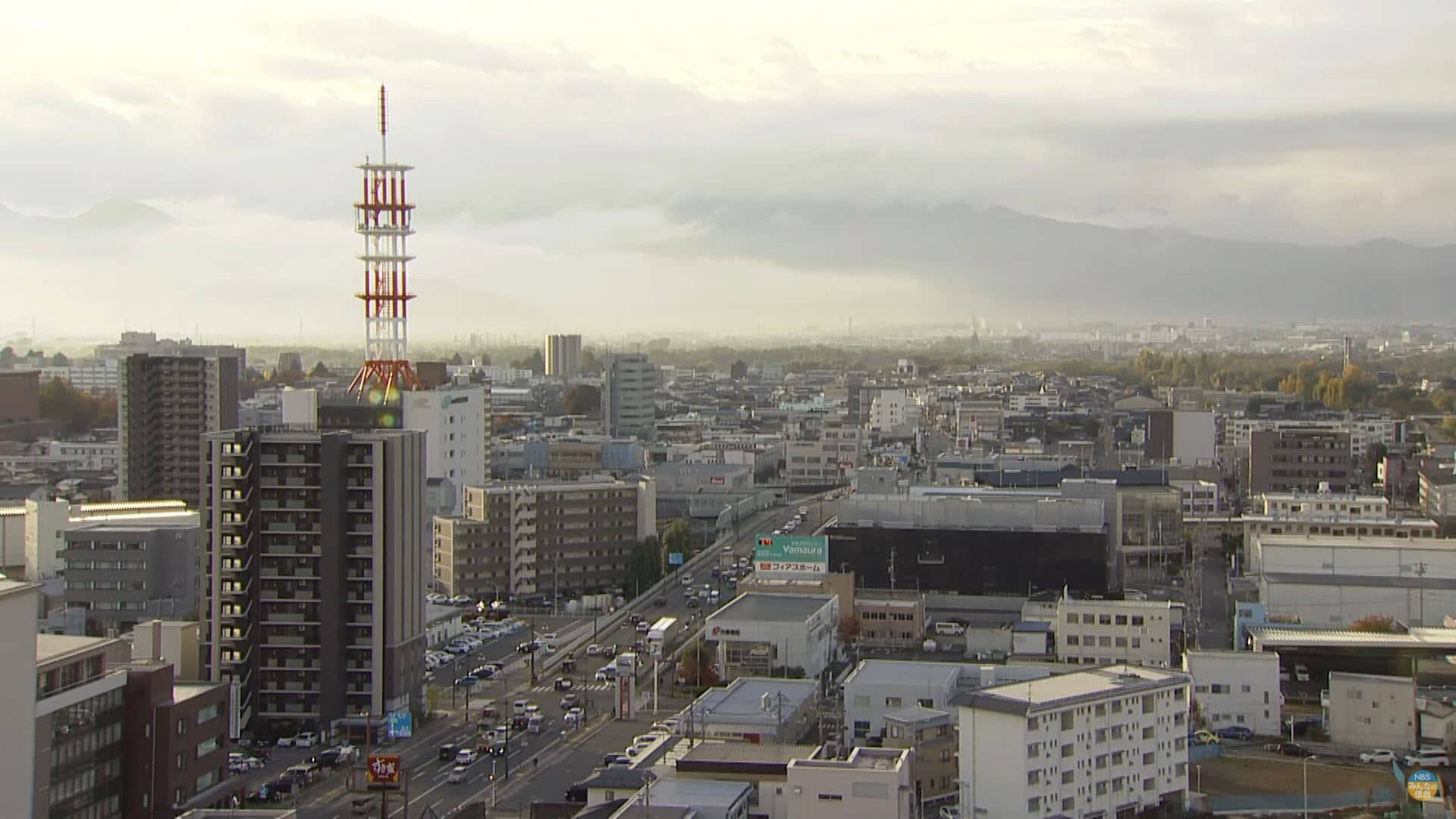
Nagano, Japan — 29 km
The current conditions and a 3-day forecast are shown in the live weather block on this page. Mountain conditions at this altitude can differ noticeably from the nearest town.
The local time for Shiga Kogen is shown on this page and updates automatically. Japan uses a single time zone, so it is the same across the country.
The camera is in the Shiga Kogen highlands of Nagano Prefecture, at about 1,414 metres above sea level. The map on this page marks its location.
Early mornings and the period right after snowfall are often the clearest, when the peaks and slopes are most visible. Winter is the busiest season for skiing activity on the runs.
Partner links: we may earn a commission at no extra cost to you.