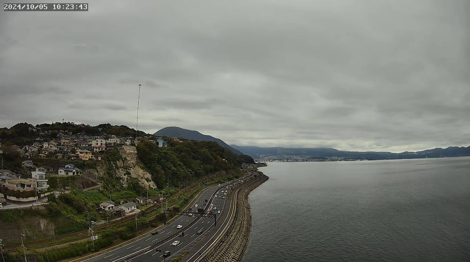
Beppu
Oita, Japan — 7.6 km
Oita - 大分市水害監視カメラ No.31三川上
🇯🇵 Oita · Japan — Altitude 14 m
This camera belongs to Oita city's flood monitoring network and watches the Sanhokami area, close to the coast of Oita Prefecture on Kyushu. It is useful for anyone who wants to see current river and rain conditions in the city without waiting for official reports. The live player below is provided by its source.
Oita is the capital of Oita Prefecture on the eastern side of Kyushu, the southern main island of Japan. The city sits on Beppu Bay and is known for its hot springs, a short distance from the famous Beppu onsen area. The land is a mix of flat coastal plains and steep hills rising behind the city, which is why rainfall can gather quickly in some valleys and rivers during heavy weather.
The camera is part of a flood monitoring series, so its main purpose is to show the condition of the watched location rather than scenery. Its value is greatest during heavy rain, typhoon season or after a long wet spell, when water levels can change quickly. Daytime gives the clearest view, though the source determines what night imaging looks like.
Oita has a humid subtropical climate with hot, rainy summers and mild winters. The rainy season in early summer and the typhoon months from late summer into autumn are the periods when monitoring cameras are most useful. Nearby cameras on this site include Beppu, about 8 km away, and Kusasenri, roughly 63 km distant, for comparing conditions across the region.
Source: CamStreamer
Oita, Japan — 7.6 km
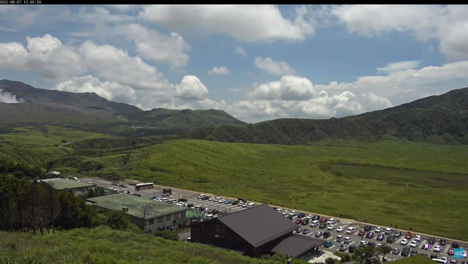
Oita, Japan — 63 km
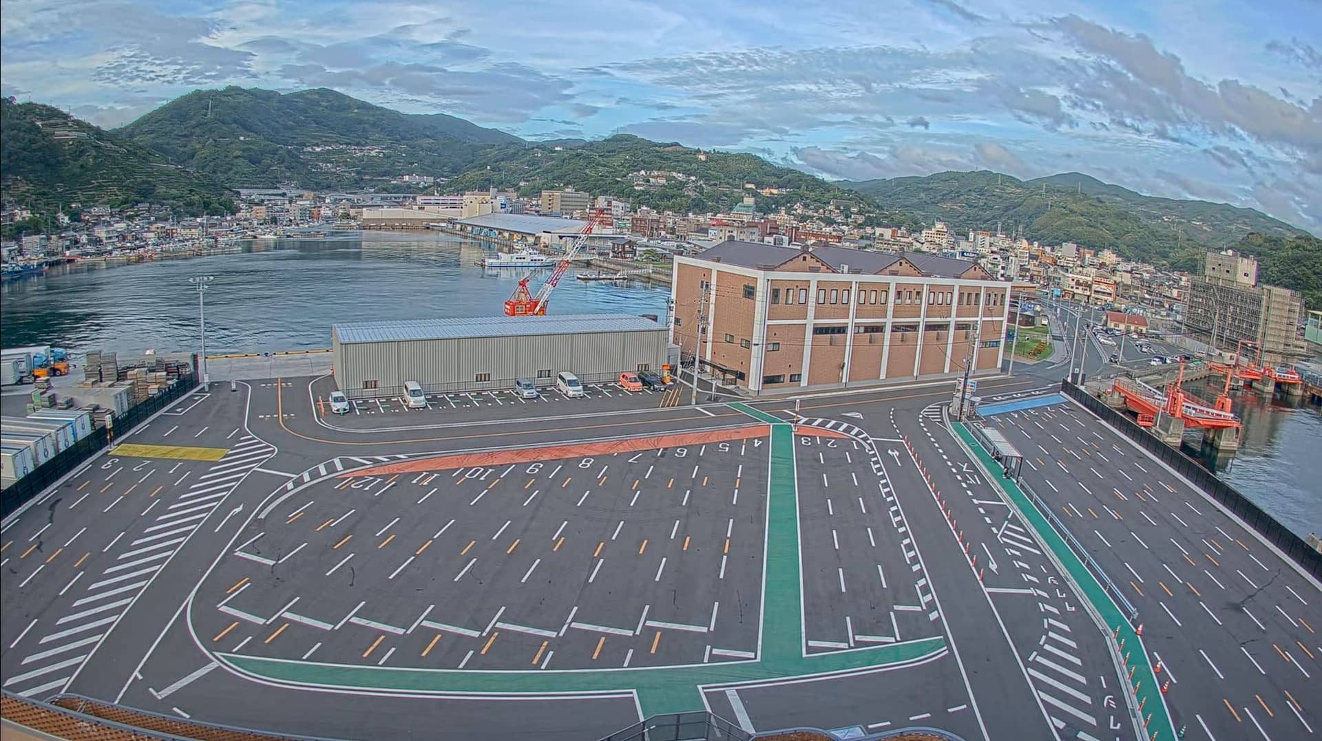
Ehime, Japan — 81 km
Fukuoka, Japan — 88 km
Fukuoka, Japan — 89 km
Yamaguchi, Japan — 102 km
Fukuoka, Japan — 116 km
Fukuoka, Japan — 118 km

Yamaguchi, Japan — 134 km
Yamaguchi, Japan — 135 km
The current weather and a 3-day forecast for Oita are shown in the live block on this page and update automatically. Check it together with the camera view for the latest conditions.
The local time in Oita is shown on this page and follows Japan Standard Time. Japan does not use daylight saving time, so the time difference from other regions stays constant through the year.
The camera is in Oita city on Kyushu, Japan, at approximately 33.2158 north and 131.5965 east, at an elevation of about 14 metres. The map on this page marks its position.
Watching during heavy rain or after typhoon warnings is most informative, since that is when river and flood conditions change. For general viewing, daytime offers the clearest image of the area.
Partner links: we may earn a commission at no extra cost to you.