
Loreto - Villa del Palmar - Baie de Danzante
Baja California Sur, Mexico — 0.9 km

Loreto - Golf TPC Danzante Bay
🇲🇽 Baja California Sur · Mexico — Altitude 30 m
This live stream looks out over Danzante Bay near Loreto on the Gulf of California side of Baja California Sur. It is a practical way to check how the bay looks before planning a day on the water or a round of golf nearby.
Loreto is one of the oldest settlements on the Baja California peninsula, founded as a mission town in the late seventeenth century. It sits on a narrow coastal plain between the Sierra de la Giganta and the Gulf of California. Danzante Bay is known for calm, clear water and for the offshore islands that shelter it, which makes it a favourite base for sea kayaking, snorkelling and sport fishing. The surrounding desert landscape changes colour noticeably through the day as the light moves across the mountains.
The stream is labelled as a beach and bay view, so it is best suited to watching sea conditions: how flat the water is, whether boats are heading out, and how much wind is moving across the surface. Mornings are often the calmest period on the Gulf, while afternoons can bring stronger breezes. Sunset is a popular time to watch the light fall on the water and the islands, depending on cloud cover.
Loreto has a hot, dry desert climate with very little rain, and the warmest months are generally summer and early autumn. Winter and spring are usually more comfortable for outdoor activity. The town has its own airport and is a few kilometres from the golf course and resort area on the bay. Two other live cameras from the Villa del Palmar area and the Islands of Loreto are listed nearby for a wider view of the coast.
Use the time and weather blocks on this page to check conditions before you travel. Local time here follows the Mexican Pacific zone, and the forecast gives an outlook for the next three days. Remember that the stream belongs to its owner and is embedded here with a link to the source.
Source: TPC Danzante Bay
Baja California Sur, Mexico — 0.9 km
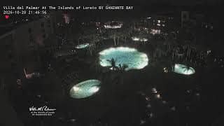
Baja California Sur, Mexico — 2.5 km
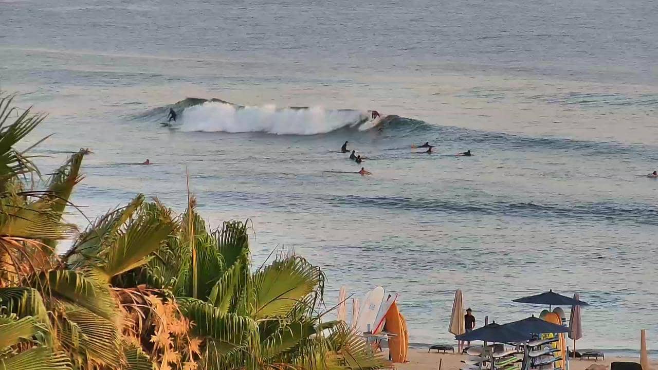
Baja California Sur, Mexico — 288 km
Baja California Sur, Mexico — 336 km

Baja California Sur, Mexico — 341 km

Baja California Sur, Mexico — 341 km
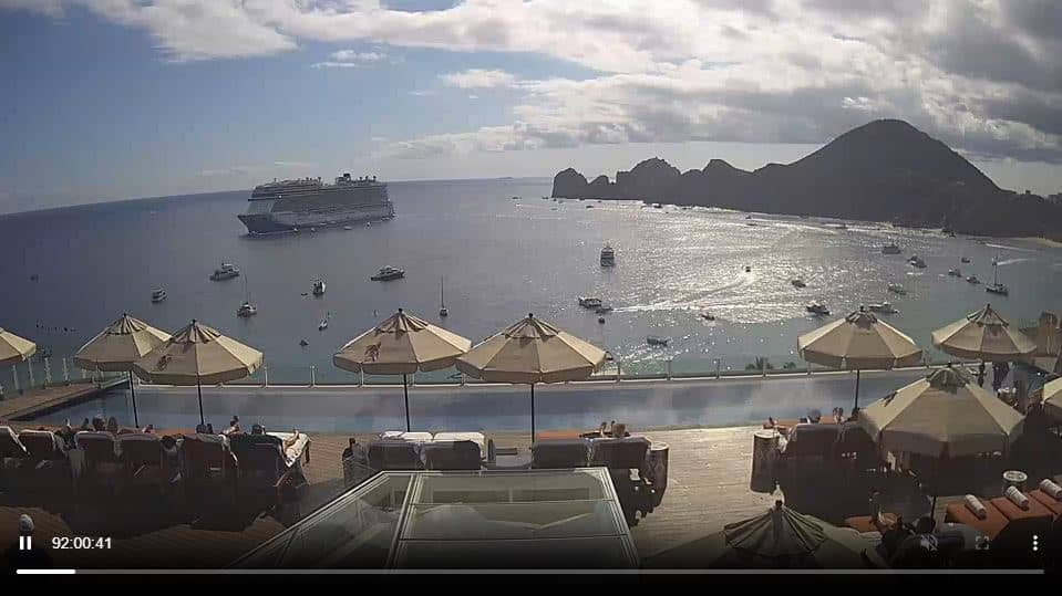
Baja California, Mexico — 344 km
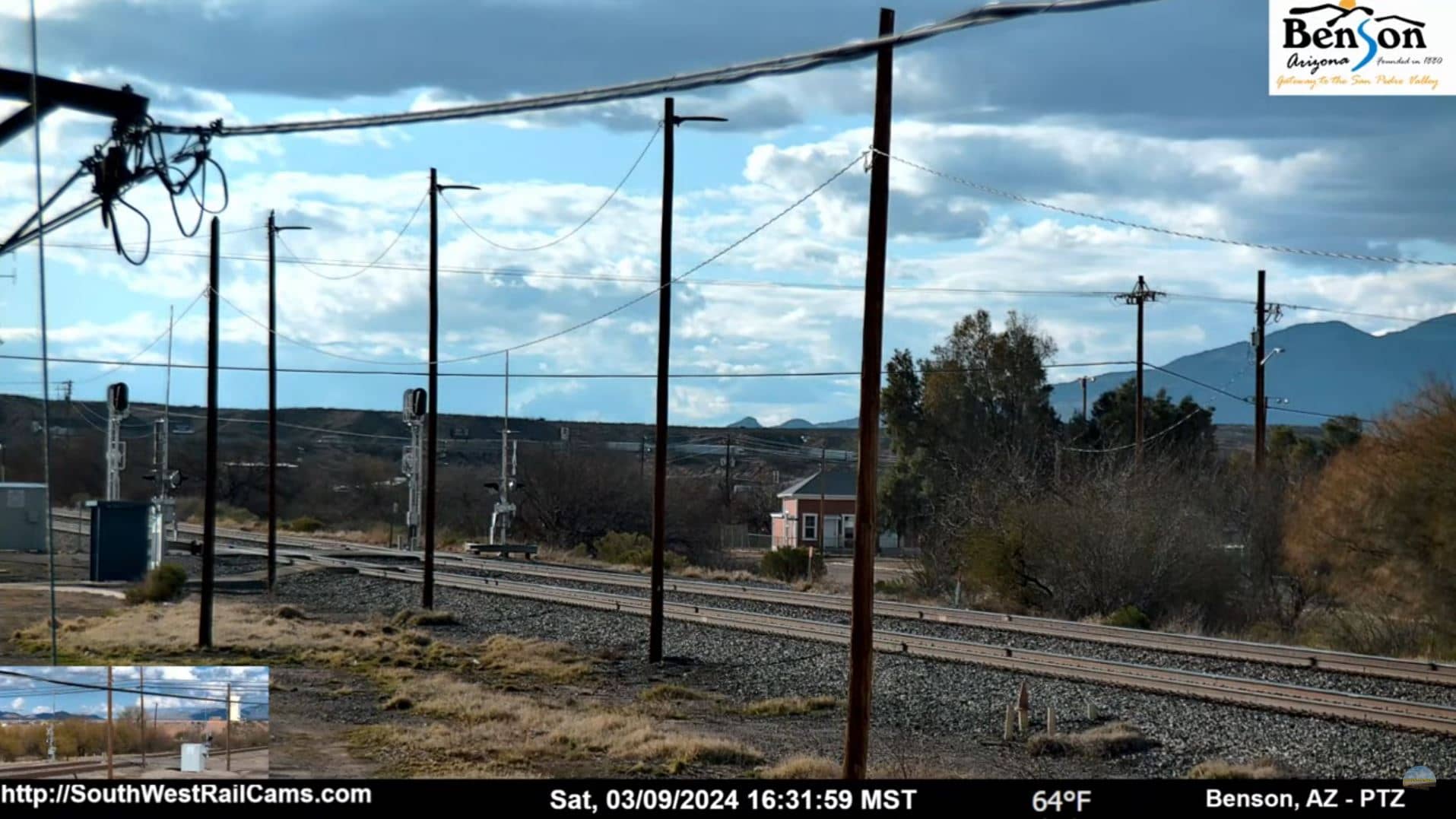
Arizona, United States — 692 km
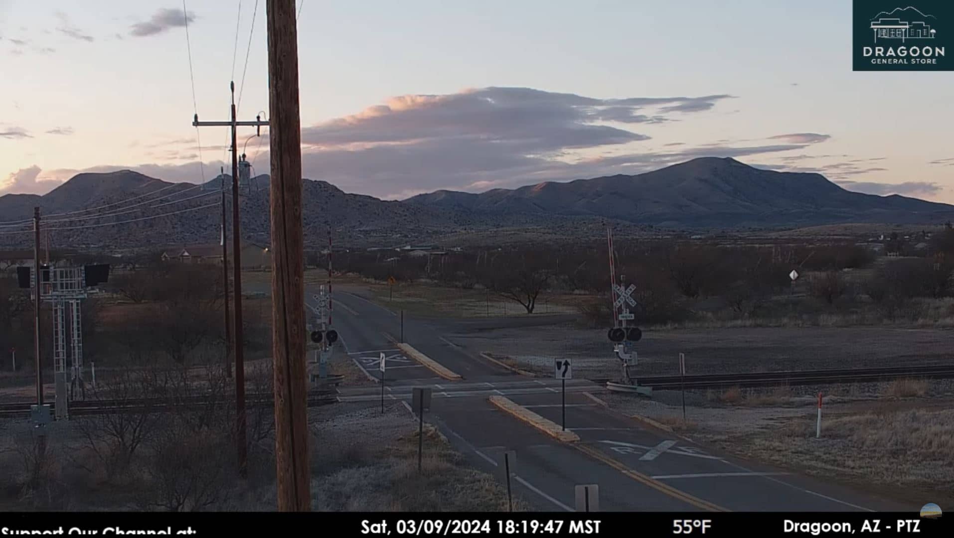
Arizona, United States — 710 km
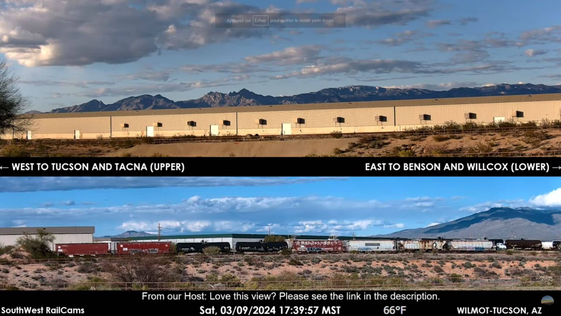
Arizona, United States — 712 km
The current weather and a three-day forecast for Loreto are shown in the live weather block on this page. The values update automatically, so check there for the latest conditions before heading out.
The local time for Loreto is displayed on this page and updates live. It follows the Mexican Pacific time zone, which may differ from your own clock depending on where you are.
The camera looks out over Danzante Bay near Loreto, Baja California Sur, Mexico. The page includes a map showing its position on the Gulf of California coast.
Early mornings often show the calmest water, while late afternoons and sunset can be attractive for light on the islands. Conditions depend on wind and weather, so the live view is the best guide for any given day.
Partner links: we may earn a commission at no extra cost to you.