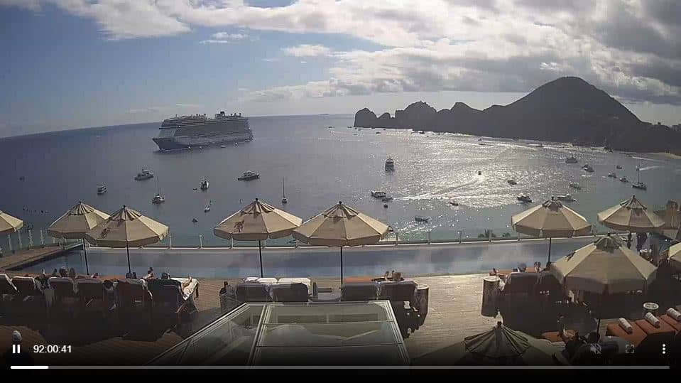
Cabo-san-Lucas - Corazon
Baja California, Mexico — 57 km
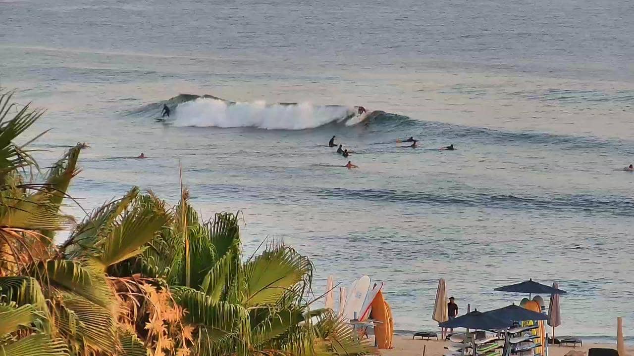
El Pescadero - Playa Los Cerritos
🇲🇽 Baja California Sur · Mexico — Altitude 4 m
This live camera looks out over Playa Los Cerritos, a beach on the Pacific side of Baja California Sur near El Pescadero. It suits anyone curious about surf and sea conditions on this stretch of coast before planning a trip. The page also shows local time and the current weather with a three-day forecast.
El Pescadero is a small farming and fishing village in the Los Cabos area of Baja California Sur, Mexico. The coast here is known for long sandy beaches, open Pacific swells and a relaxed, rural atmosphere that feels quite different from the resort towns further south. Much of the surrounding land is given over to agriculture, and the desert hills run down toward the sea.
The camera frames the beach itself, so the most useful things to follow are the waves, the wind and the tide, which change the sea surface noticeably over the day. Mornings often bring calmer water, while afternoon breezes can roughen the surface. Clear weather usually makes the view most rewarding, and the picture depends on the source's own framing and conditions at the time.
The region has a warm, dry climate with most rain arriving in late summer and early autumn, when tropical storms occasionally reach the peninsula. Winter and spring are generally the most comfortable seasons for visiting. Nearby cameras cover Cabo San Lucas and San Jose del Cabo, roughly an hour's drive away, which makes it easy to compare conditions along the coast.
Source: thesurfersview.com
Baja California, Mexico — 57 km

Baja California Sur, Mexico — 57 km

Baja California Sur, Mexico — 57 km
Baja California Sur, Mexico — 58 km
Baja California Sur, Mexico — 286 km

Baja California Sur, Mexico — 288 km

Baja California Sur, Mexico — 288 km
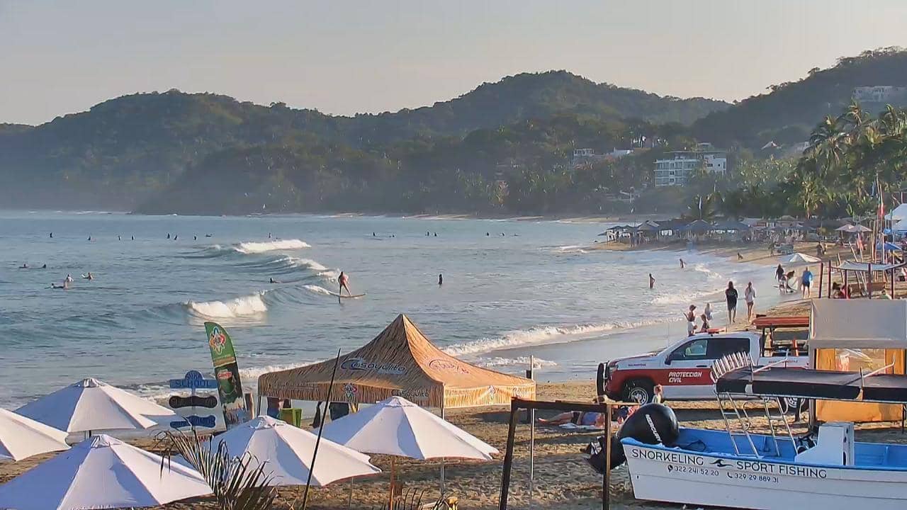
Nayarit, Mexico — 559 km
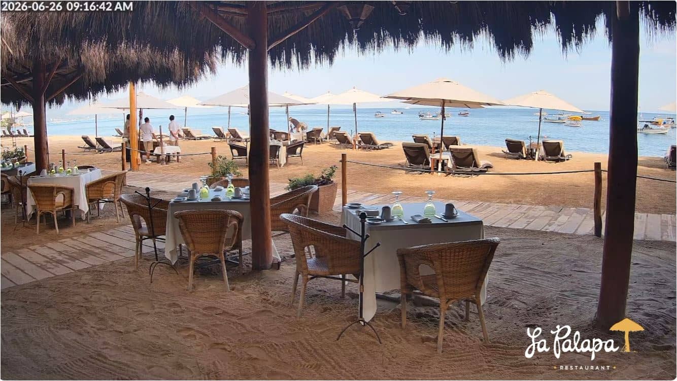
Jalisco, Mexico — 589 km
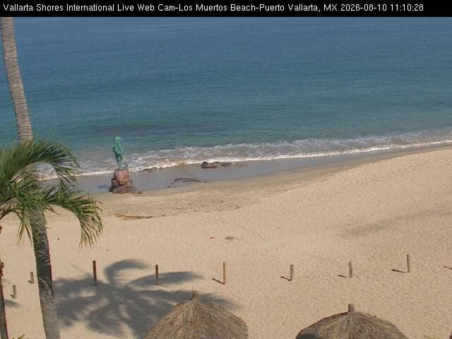
Jalisco, Mexico — 593 km
The current weather and a three-day forecast for El Pescadero are shown in the live block on this page, updated automatically from the forecast data.
The local time for El Pescadero is displayed on this page and follows the local clock for Baja California Sur.
The camera is at Playa Los Cerritos near El Pescadero, on the Pacific coast of Baja California Sur, Mexico. The map on this page marks its position.
Morning and clear afternoons are often the easiest times to read the waves and water, though conditions vary with wind and tide. Check the live view and the forecast before you decide.
Partner links: we may earn a commission at no extra cost to you.