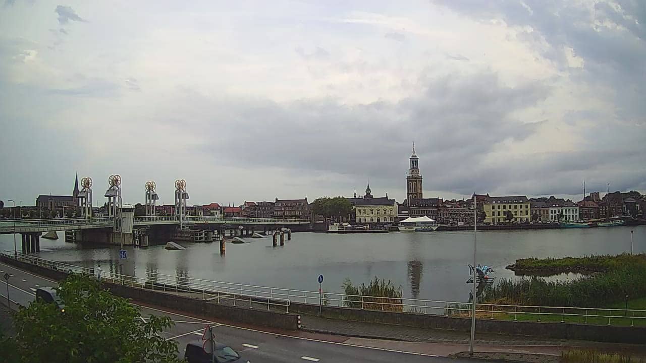
Kampen - 2
Overijssel, Netherlands — 12 km
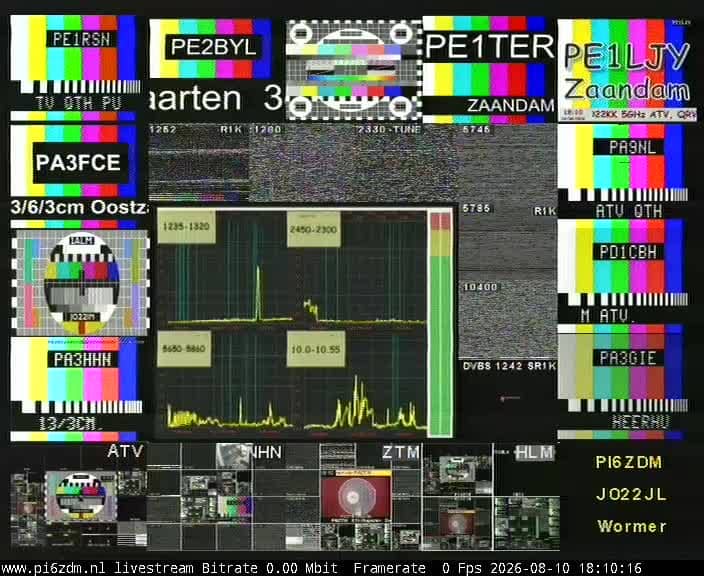
Dronten - PI6ZDM
🇳🇱 Flevoland · Netherlands — Altitude -3 m
This live stream comes from Dronten, a town in the Flevoland polder in the central Netherlands. The camera is labelled with the amateur radio callsign PI6ZDM, so the feed is aimed at people curious about the local station and the open flat landscape around it. Use the player to see the current conditions before you plan a trip.
Dronten lies in Flevoland, one of the youngest parts of the Netherlands, reclaimed from the sea in the twentieth century. The land is almost entirely flat and laid out in straight roads, canals and drainage ditches. Dronten grew as a planned town on the polder, and it sits close to the Markermeer, the freshwater lake that separates Flevoland from the older provinces. The region is known for open skies, farmland and wide horizons rather than hills or dramatic scenery.
The title names a station callsign rather than a landmark, so the picture is best judged by its conditions rather than by fixed features. On a flat polder, cloud movement, changing light and wind over the fields are usually the most visible things to follow. Late afternoon and evening often bring soft light across the land, while winter weather can change the sky quickly. Check the live weather block on this page to see what is coming in.
The Dutch coast is only a short drive away, and the climate is maritime, with mild summers and cool, damp winters. Spring and early autumn tend to be the most comfortable months for cycling along the dikes and polder roads. Dronten is reachable by car or regional train via nearby Lelystad, and the nearby cameras in Kampen, Urk and Zeewolde show other stretches of the same lake and coast.
Source: click2stream.com
Overijssel, Netherlands — 12 km
Flevoland, Netherlands — 17 km
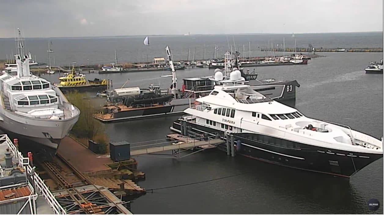
Flevoland, Netherlands — 20 km
Flevoland, Netherlands — 23 km
Overijssel, Netherlands — 27 km
Overijssel, Netherlands — 29 km
Gelderland, Netherlands — 36 km
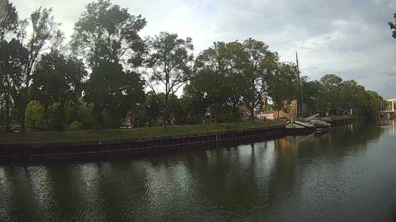
North Holland, Netherlands — 38 km
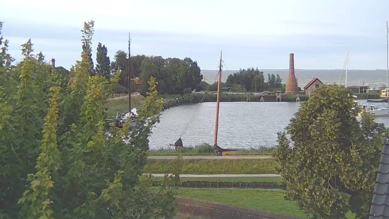
North Holland, Netherlands — 38 km
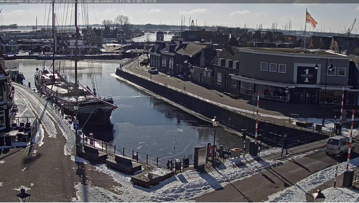
Friesland, Netherlands — 38 km
The live weather block on this page shows the current conditions in Dronten along with a three-day forecast. Values update automatically, so you do not need to refresh the page to see changes.
Dronten follows Dutch local time, which is Central European Time with daylight saving in summer. The local time shown on this page updates live, so you can check it against your own clock.
The camera is located in Dronten in Flevoland, close to the Markermeer, at approximately 52.50 north and 5.75 east. The map on the page marks its position and shows the surrounding area.
Because the landscape is flat and open, changes in light and weather are most visible, especially in the morning and late afternoon. Clear days offer the widest view, while cloudy days show the sky and wind more clearly.
Partner links: we may earn a commission at no extra cost to you.