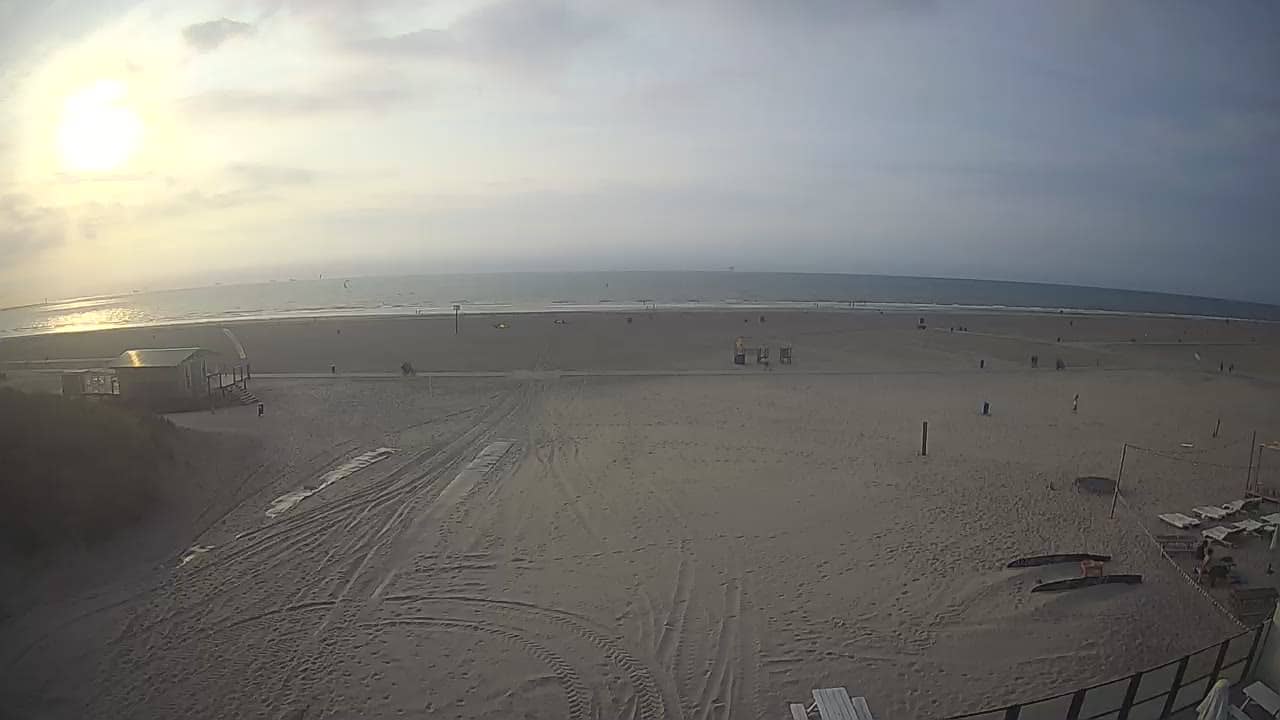
Hoek van Holland - Strand
South Holland, Netherlands — 0.3 km
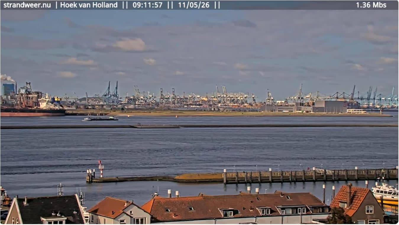
Hoek van Holland - Nieuwe Waterweg
🇳🇱 South Holland · Netherlands — Altitude 30 m
This live stream looks out over the Nieuwe Waterweg where it meets the North Sea at Hoek van Holland. It is a place to follow the movement of the water and the shipping that serves Rotterdam, the port of Europe. Local weather and time are shown on the page alongside the stream.
Hoek van Holland sits on the flat Dutch coast of South Holland, where the Nieuwe Waterweg, a man-made shipping channel, reaches the sea. The village grew up around the port entrance and the ferry links to England that once made it a busy gateway. Dunes, wide beaches and the open horizon of the North Sea define the landscape, and the air is often windy and bright.
The camera is aimed at the waterway, so the most rewarding moments are usually when larger vessels pass in or out of the channel. Light changes a lot across the day, and early mornings or late afternoons often give the clearest view across the water. Wind and tide shape how the surface looks, so conditions can shift quickly. Check the weather block on the page before you watch.
The coast here is mild for the Netherlands, with cool summers and relatively mild winters, and the best season for walking along the beach is late spring through early autumn. Nearby, you can explore the Boulevard in Hoek van Holland, the beach at Ter Heijde, or the dunes and surf spots around 's-Gravenzande and Oostvoorne, which also have their own cameras on VizCams.
Source: Strandweernu
South Holland, Netherlands — 0.3 km
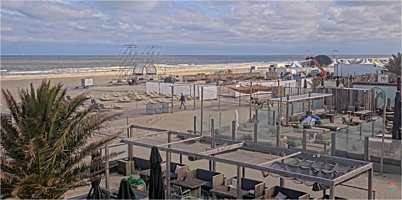
South Holland, Netherlands — 2.5 km
South Holland, Netherlands — 4 km
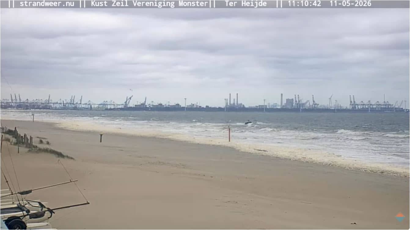
South Holland, Netherlands — 6.1 km
South Holland, Netherlands — 8.3 km
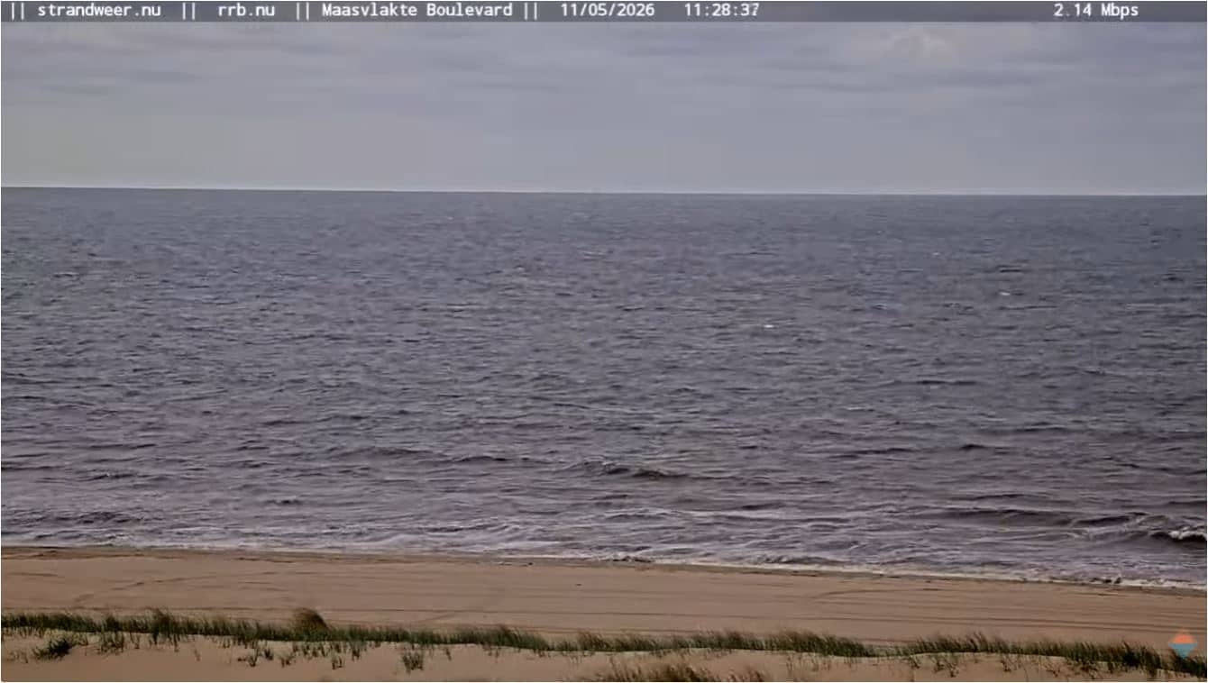
South Holland, Netherlands — 12 km
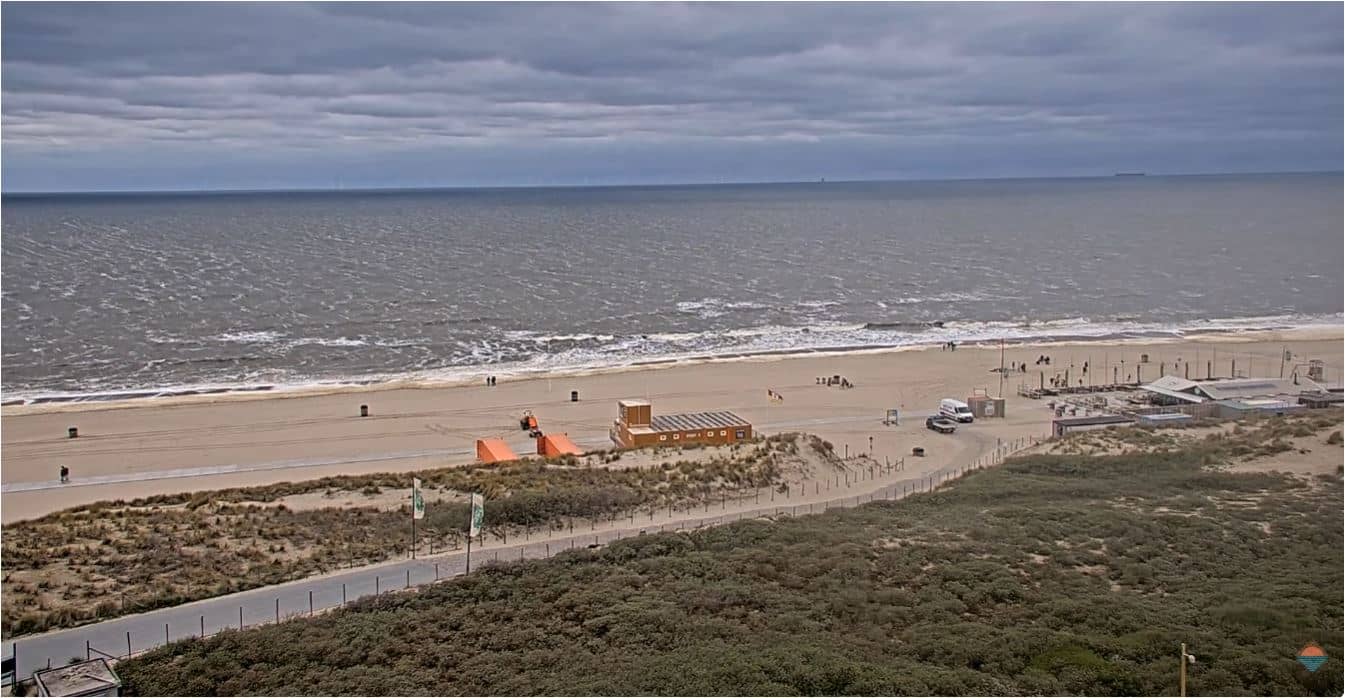
North Holland, Netherlands — 12 km
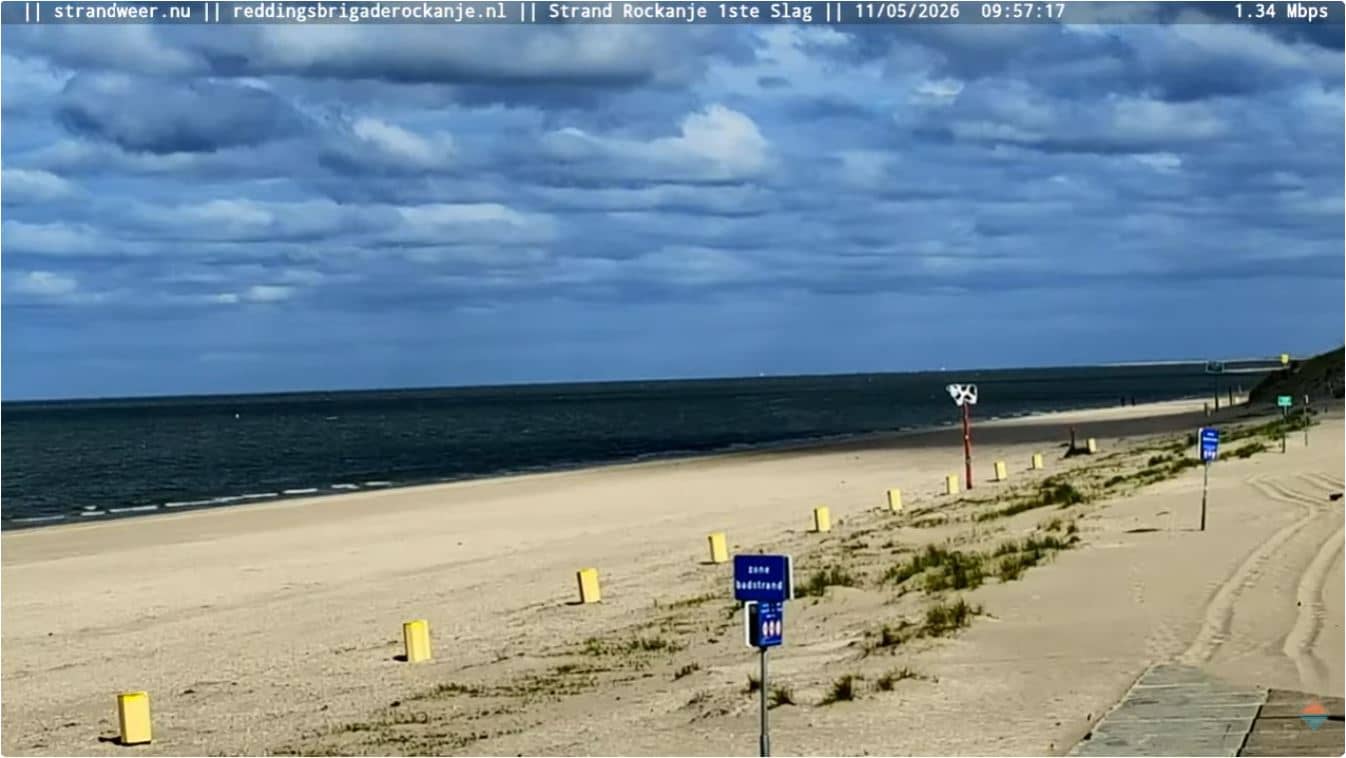
South Holland, Netherlands — 13 km
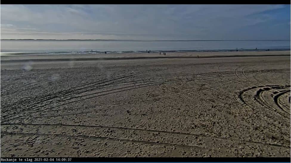
South Holland, Netherlands — 13 km
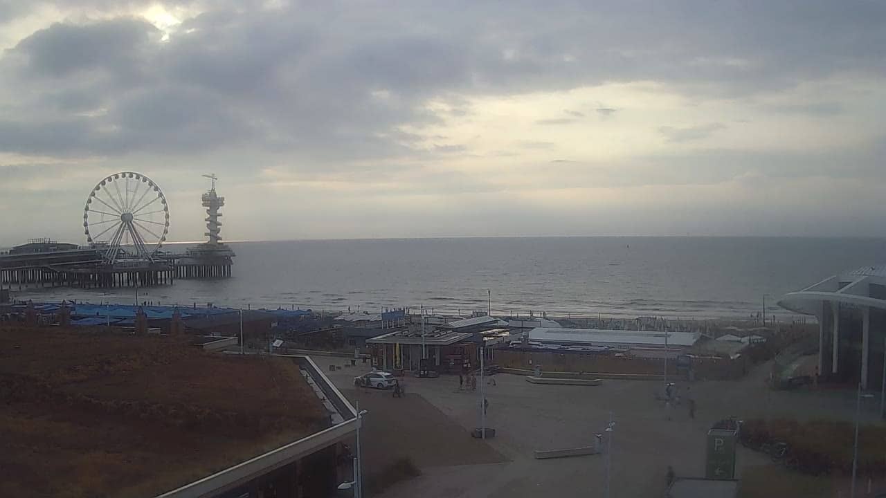
South Holland, Netherlands — 17 km
The current conditions and a three-day forecast for Hoek van Holland are shown in the weather block on this page. They update with the page, so you can check wind and temperature before deciding when to watch.
The local time for Hoek van Holland is shown on this page and follows the Netherlands time zone. It is a useful reference when planning when to watch ship traffic on the waterway.
The camera overlooks the Nieuwe Waterweg at Hoek van Holland in South Holland, close to where the channel meets the North Sea. The map on this page shows its position and nearby coastal cameras.
Daylight hours give the clearest picture, and the busiest moments are often when larger ships are moving through the channel. Calm, clear days are best for seeing the water and horizon.
Partner links: we may earn a commission at no extra cost to you.