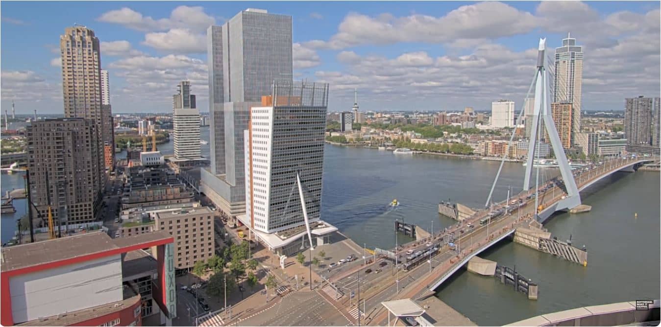
Rotterdam - Erasmusbrug, KPN Led Wall
South Holland, Netherlands — 0.5 km
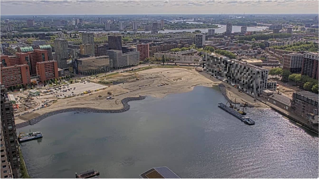
Rotterdam - Rijnhaven in ontwikkeling
🇳🇱 South Holland · Netherlands — Altitude 25 m
This live stream follows the Rijnhaven, a former harbour basin on the south bank of the Maas that is being reshaped into a new urban district. Watch it to see how the construction and the waterfront evolve over the day. The page also shows the local weather, so you can check conditions before you head out.
Rotterdam grew into one of Europe's largest ports, and the Rijnhaven is part of that industrial history. The basin sits close to the city centre, between the Maas and the older quarters on the south bank. Like much of Rotterdam, the district is flat, open to the river wind and shaped by water, bridges and modern architecture. Its transformation reflects the city's continuing effort to bring housing, offices and public space back to former port land.
The title names an area in development, so expect the view to focus on the harbour edge and the building works taking place there. We cannot confirm the exact frame from the title alone, so treat the stream as a general look at the site. Changes tend to be easiest to notice in daylight, when cranes and site activity are active. Weather matters a lot here: on clear days the water and skyline stand out, while rain or low cloud can soften the view.
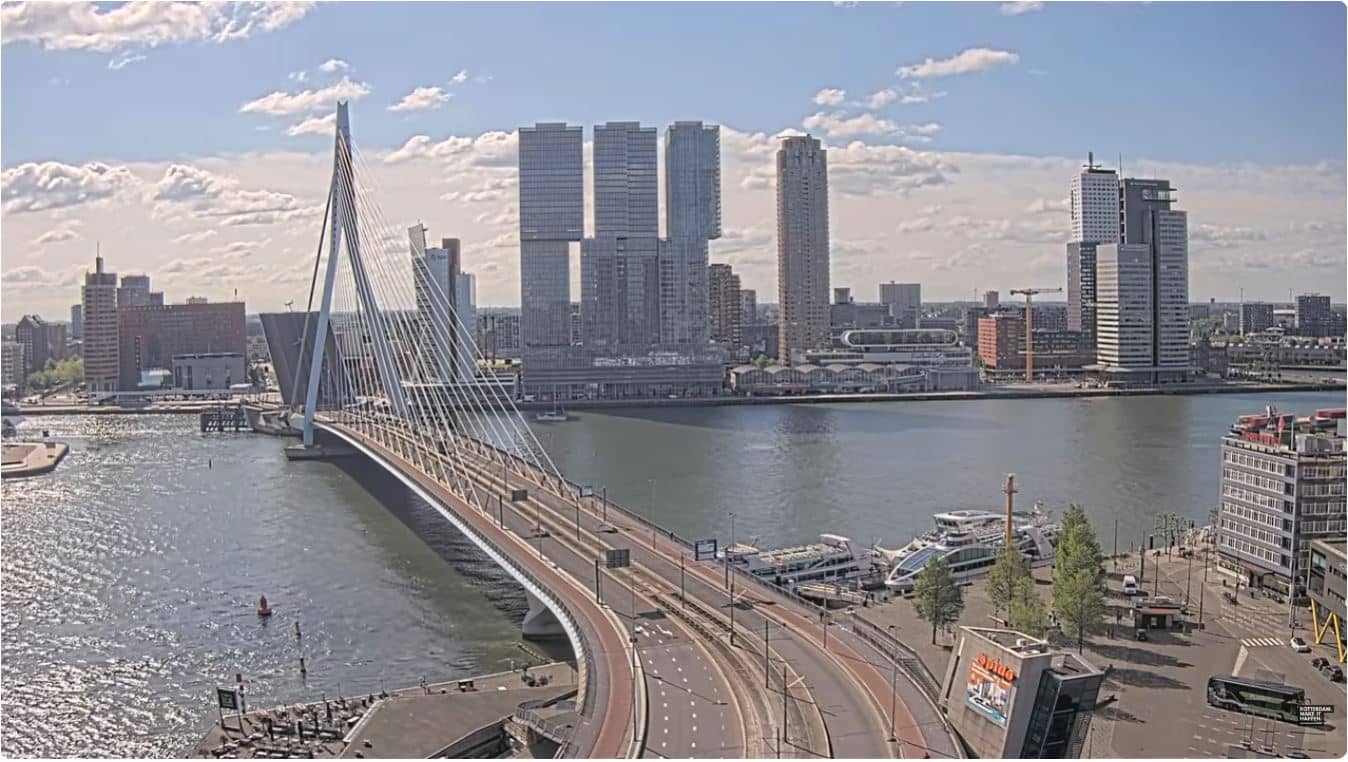
Rotterdam has a mild maritime climate, with cool, damp winters and fairly warm, breezy summers. Spring and early autumn are often pleasant for walking along the river. The Erasmus Bridge, a short distance away, is one of the best-known landmarks in the city, and other Rotterdam cameras nearby show it and the Erasmus Bridge LED wall. Getting around the centre by metro or tram is straightforward.
Source: GemeenteRotterdam
South Holland, Netherlands — 0.5 km
South Holland, Netherlands — 0.8 km
South Holland, Netherlands — 2 km
South Holland, Netherlands — 3.9 km
South Holland, Netherlands — 8.1 km
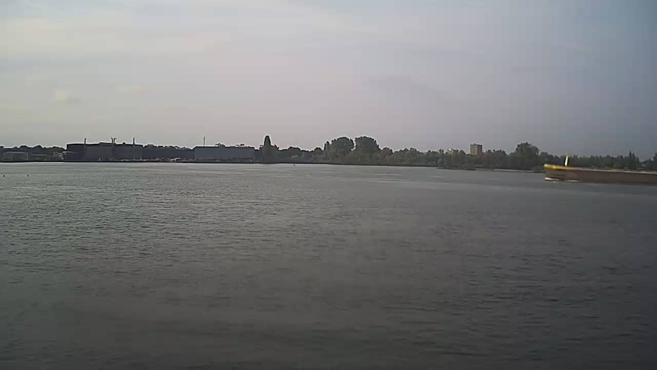
South Holland, Netherlands — 8.8 km
South Holland, Netherlands — 9.7 km
South Holland, Netherlands — 18 km
South Holland, Netherlands — 25 km
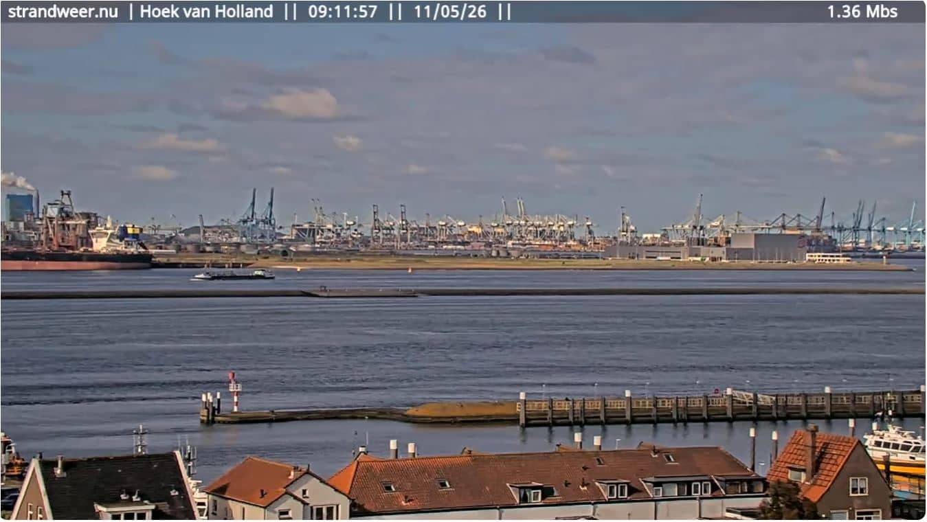
South Holland, Netherlands — 25 km
The current conditions and a three-day forecast for Rotterdam are shown in the weather block on this page, updated automatically from local data.
The local time for Rotterdam is displayed at the top of the page, so you can see whether it is day or night in the harbour district.
The camera is in Rotterdam, South Holland, on the Rijnhaven area south of the Maas. The map on this page shows its position.
Daylight hours are usually best, when the site and the water are clearest. Check the weather block first, since rain or fog can reduce visibility.
Partner links: we may earn a commission at no extra cost to you.