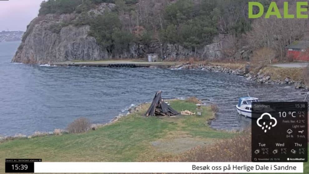
Klepp
Rogaland, Norway — 45 km
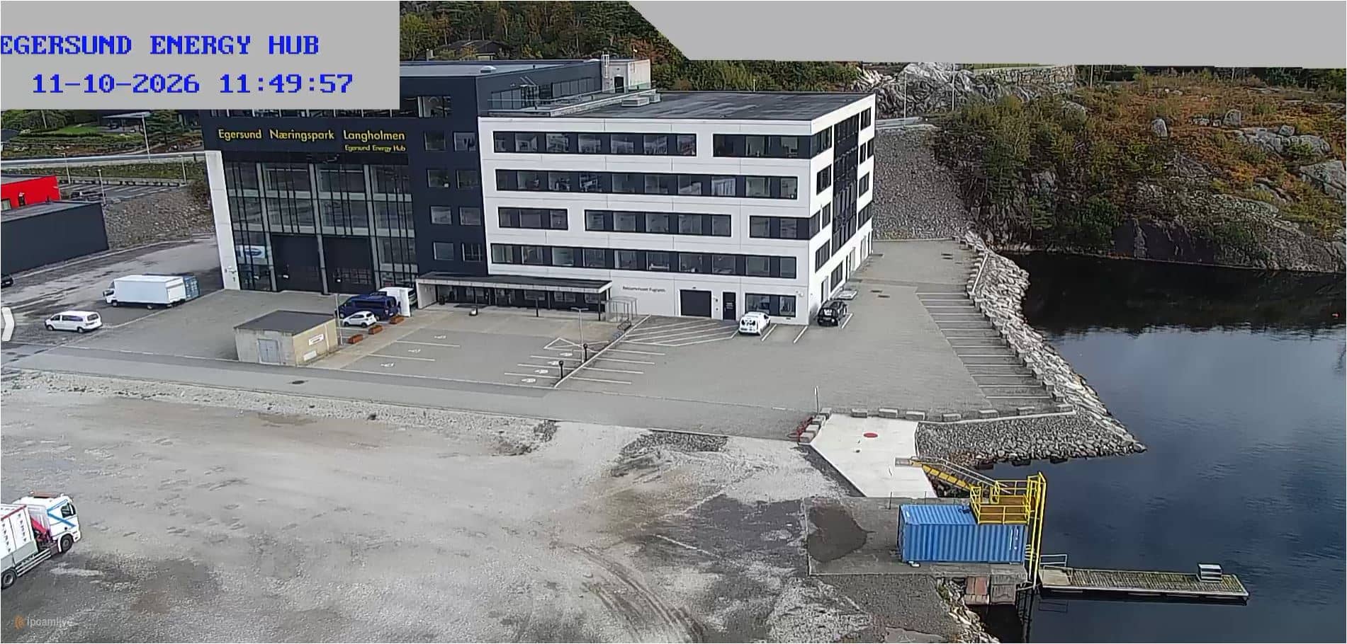
Egersund - Egersund Energy Hub
🇳🇴 Rogaland · Norway — Altitude 10 m
This live camera looks out over the Egersund Energy Hub on the southwest coast of Norway. It is useful for anyone following the town's energy infrastructure or checking conditions on the Rogaland coast before a visit.
Egersund is a small harbour town in the Rogaland region of southwestern Norway, a few metres above sea level on a coast shaped by fjords, islands and open water. The area is known for its maritime history, its traditional wooden houses and its role as a base for fishing and industry. The landscape is mostly low rock, heath and sea, with a mild, changeable climate typical of the North Sea coast.
The title points to an energy site, so the view is most likely of industrial buildings and the surrounding coastal area. Depending on the framing, you may see the harbour edge, passing weather fronts and changes in light across the day. Low sun in winter and long evenings in summer tend to make the scene most interesting, and clouds moving off the sea can change the view quickly.
Egersund is reached by road from Stavanger, roughly an hour's drive north-east, and the coastline is best explored in mild months from late spring to early autumn. Winters are wet and windy. Other live views in the wider area include Klepp, Stavanger, Liknes and Sirdal, which can help you compare conditions across the region.
Source: vision-environnement.com
Rogaland, Norway — 45 km
Rogaland, Norway — 58 km
Agder, Norway — 59 km
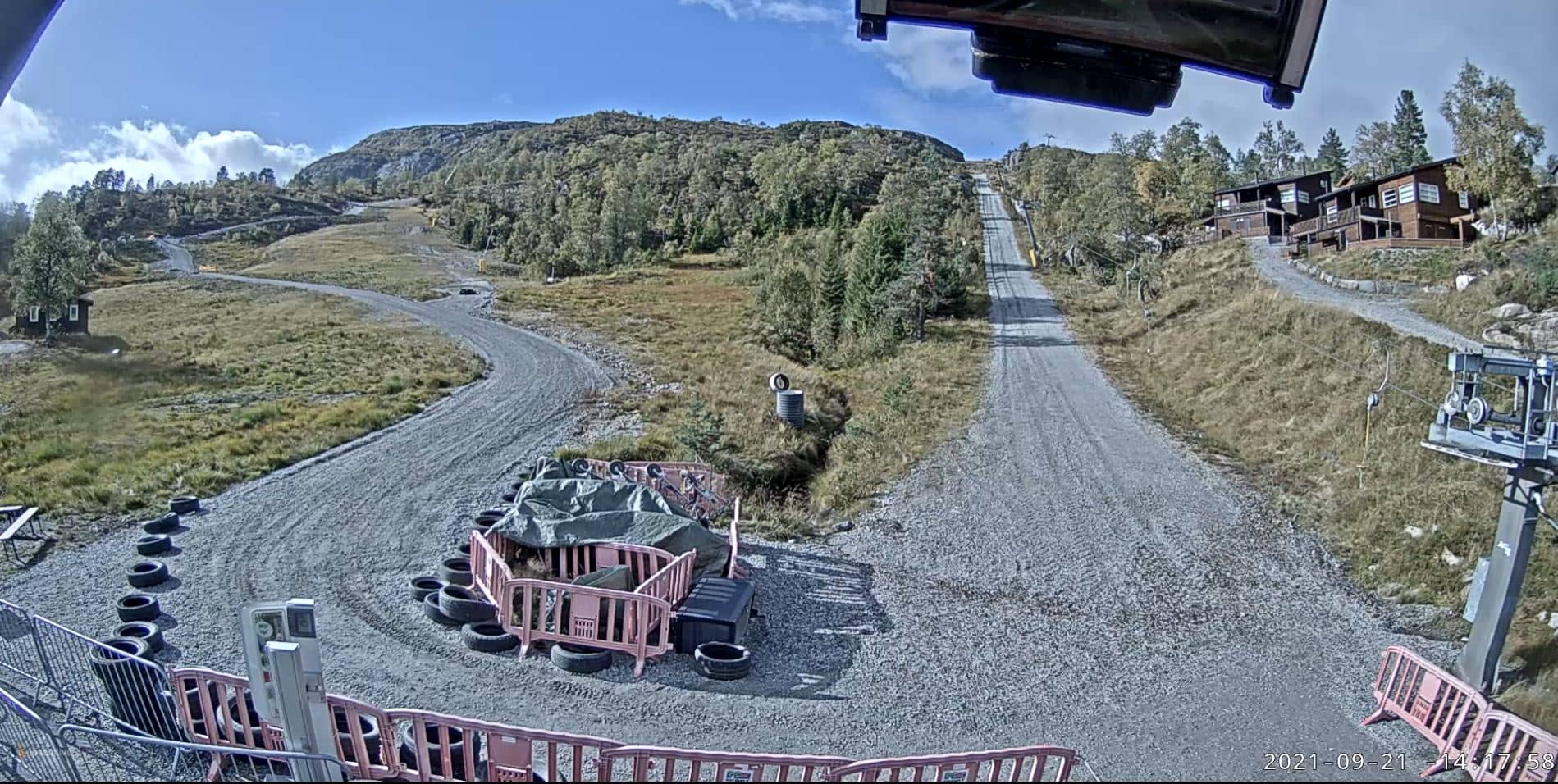
Agder, Norway — 70 km
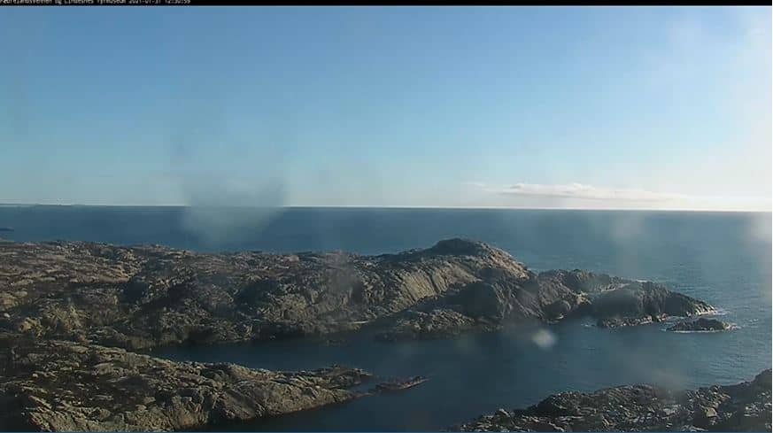
Agder, Norway — 82 km
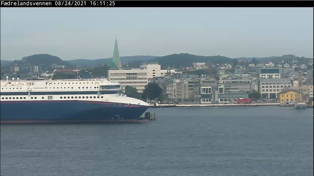
Agder, Norway — 121 km
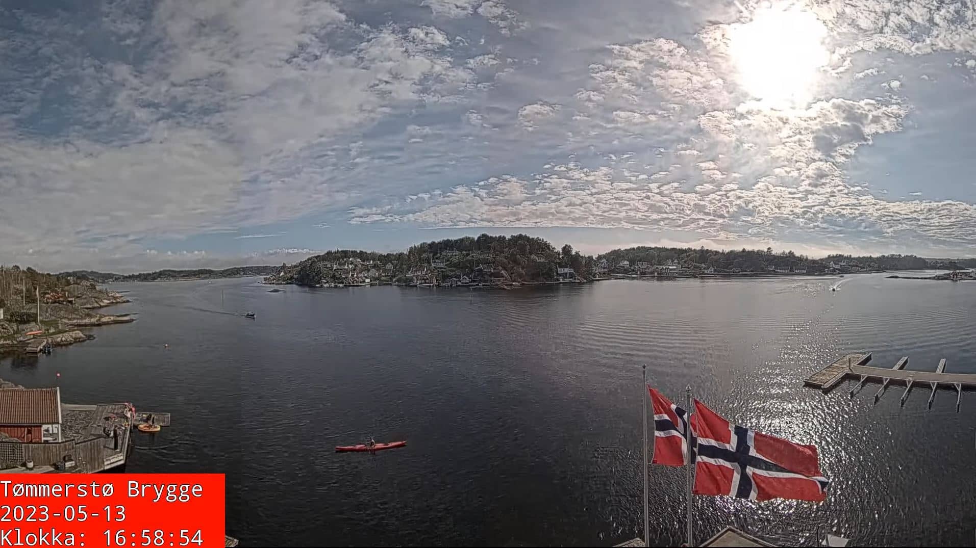
Agder, Norway — 129 km

Agder, Norway — 146 km
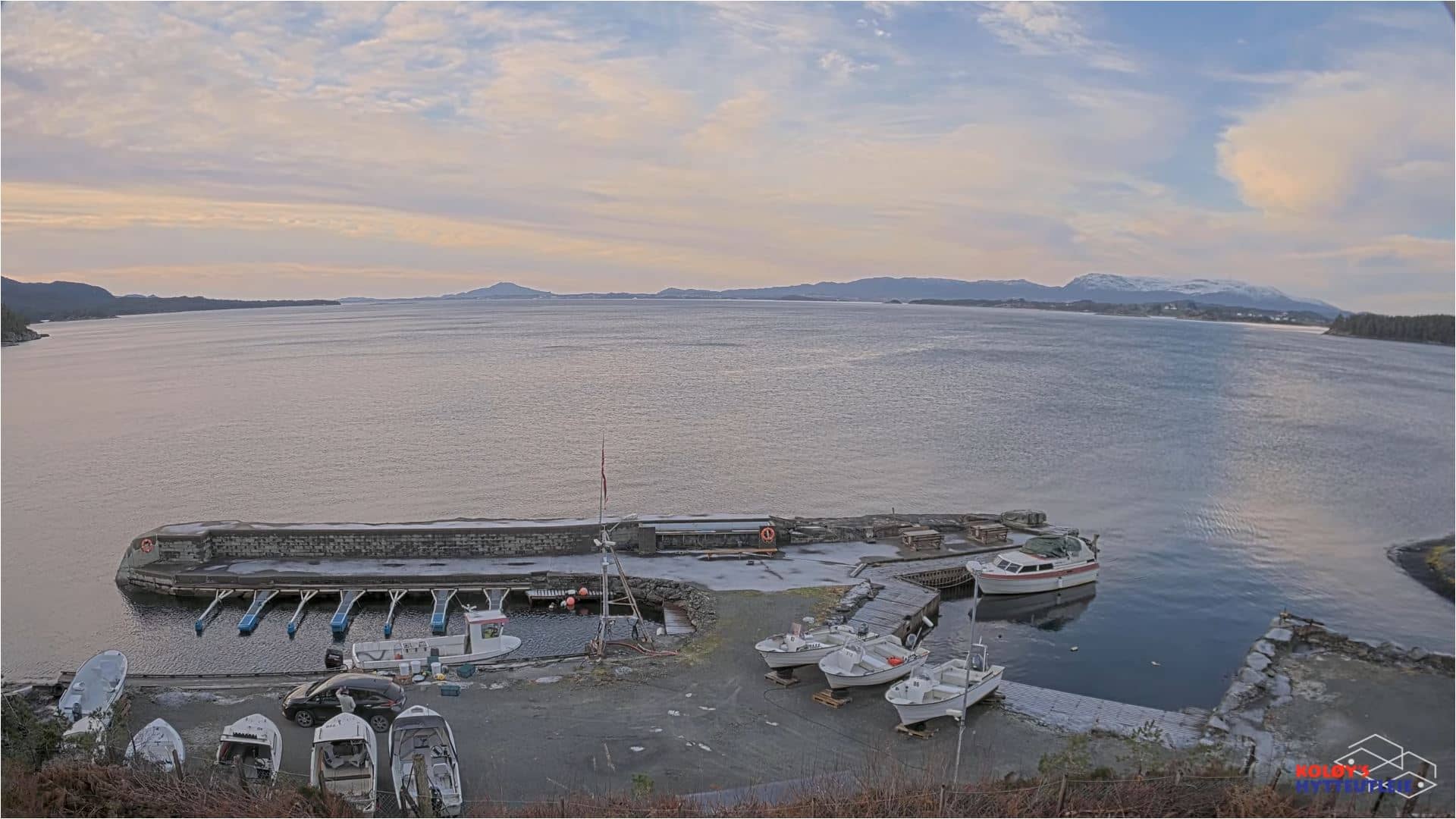
Vestland, Norway — 146 km
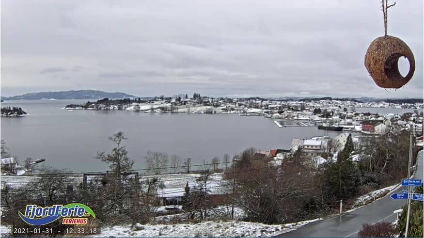
Vestland, Norway — 149 km
The current conditions and a 3-day forecast for Egersund are shown in the live weather block on this page, updated alongside the camera stream.
The local time for Egersund is displayed on this page. Norway uses Central European Time with summer daylight saving, so it matches the rest of mainland Norway.
The camera is in Egersund in Rogaland county on Norway's southwest coast, at approximately 58.46 N, 5.98 E. The map on this page shows its exact position.
Daylight hours in summer give the clearest view, while winter light is shorter and lower. Check the live weather before watching, as clear, calm days make the coastal scene easiest to see.
Partner links: we may earn a commission at no extra cost to you.