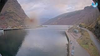
Flåm - Axis P1465-LE
Vestland, Norway — 15 km
🇳🇴 Vestland · Norway — Altitude 7 m
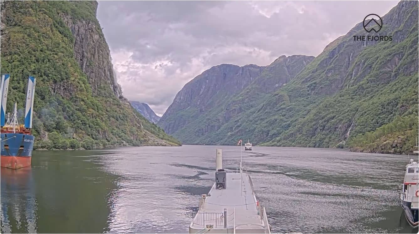
This live stream looks out over Gudvangen, a small village at the head of the Nærøyfjord, one of the narrowest arms of the Sognefjord. It is a useful window for anyone planning a fjord trip or wondering what conditions are like at sea level in this part of western Norway.
Gudvangen sits at sea level where the steep walls of the Nærøyfjord meet the Sognefjord system, which is part of the UNESCO-listed Western Norway Fjords. The village is best known as a gateway for boat trips into the fjord and as a stop on the historic Norwegian Fjord route. Waterfalls, bare rock faces and dense forest rise sharply on both sides of the water, so the landscape changes quickly with the light and cloud.
The camera is listed as a general outdoor view rather than a specific landmark, so the exact frame may include water, shoreline or the surrounding slopes. Depending on the view, you may see the fjord's mirror-like surface on calm days, low cloud sitting on the mountains or moving shadows across the valley. Early morning and late evening often bring the most dramatic light, and the stream is worth checking before a boat departure.
Summers are mild and long days are common, while winters are cold, wet and short, with snow more likely at higher elevations. Rain is frequent throughout the year, so check the weather block on this page before you travel. Other VizCams streams in the region include Flåm, about 15 km away, and Voss, Sogndal and Finse, which give a wider picture of conditions across Vestland.
Source: NBLive-i4i
Vestland, Norway — 15 km
Vestland, Norway — 36 km
Vestland, Norway — 36 km
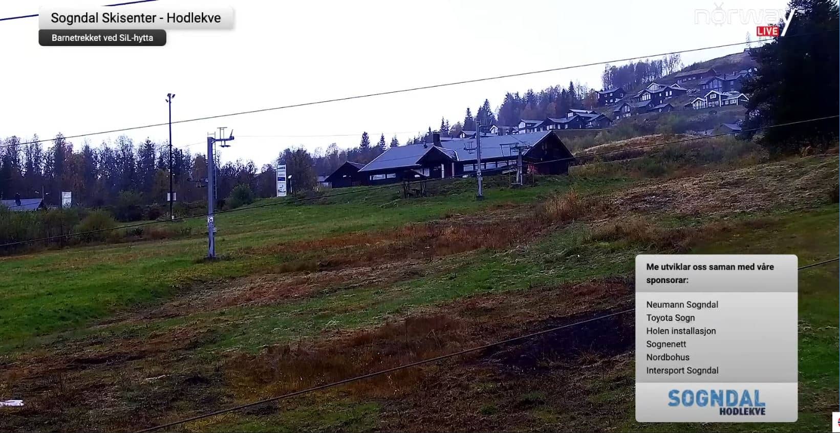
Vestland, Norway — 46 km
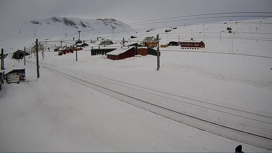
Innlandet, Norway — 47 km
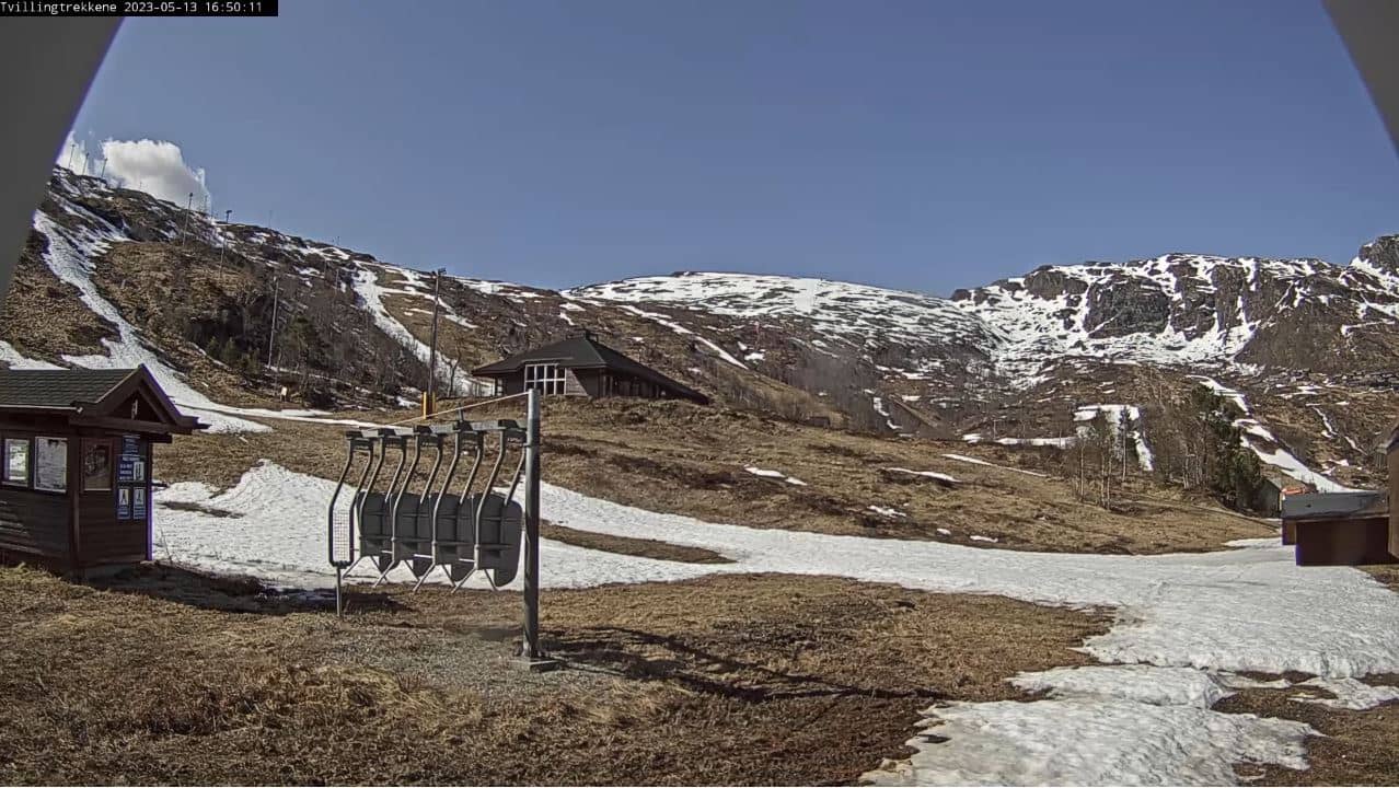
Vestland, Norway — 73 km
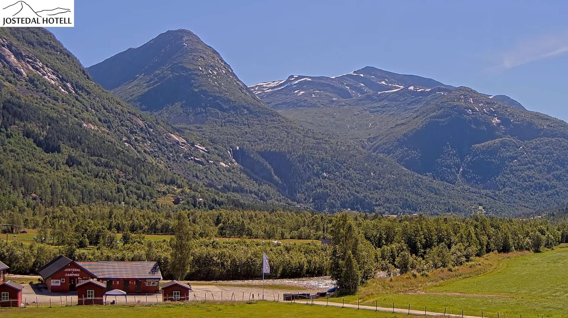
Vestland, Norway — 86 km
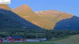
Vestland, Norway — 86 km
Innlandet, Norway — 97 km
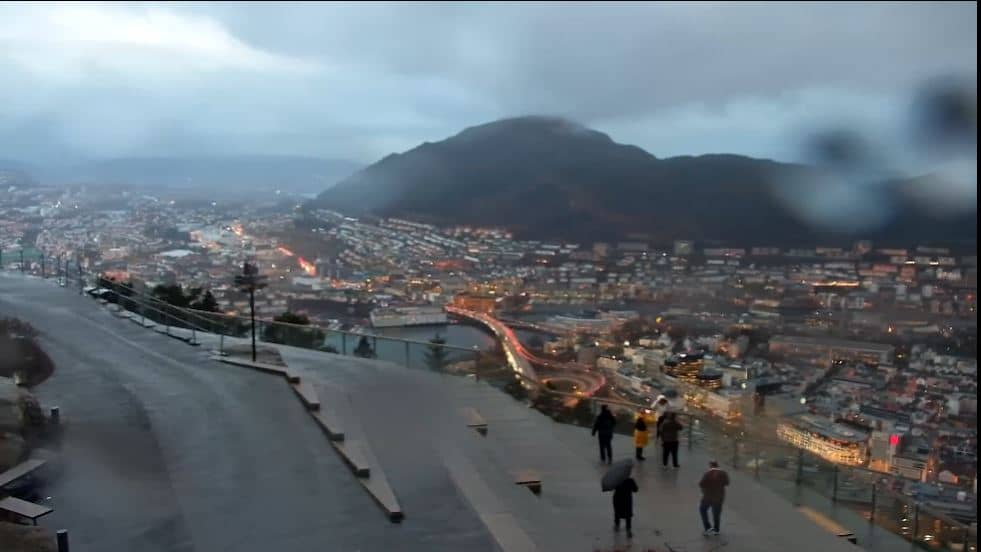
Vestland, Norway — 98 km
The current conditions and a 3-day forecast for Gudvangen are shown in the weather block on this page and update automatically. Because the village is near sea level in a deep fjord, conditions can differ from those in the mountains above it.
The local time for Gudvangen is displayed live on this page, following Norwegian time. Check it before planning a boat trip, since sailing schedules depend on local time.
The camera is located in Gudvangen at roughly 60.88 N, 6.84 E, at about 7 metres above sea level, at the head of the Nærøyfjord in the Vestland region of Norway. The map on this page shows its position.
Early morning and evening light tends to be the most striking, and calm mornings often show the fjord reflected in the water. In summer, the long daylight hours make the stream active for much of the day.
Partner links: we may earn a commission at no extra cost to you.