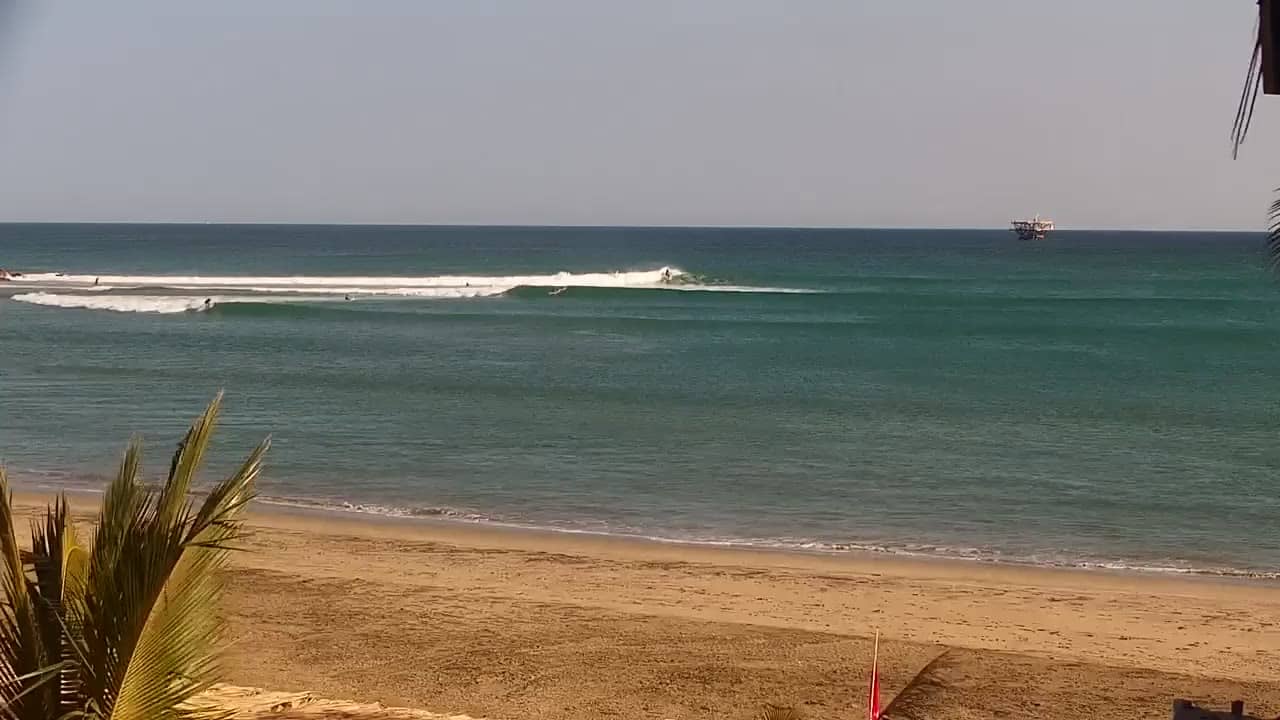
Piura - Plage de Lobitos
Piura, Peru — 23 km
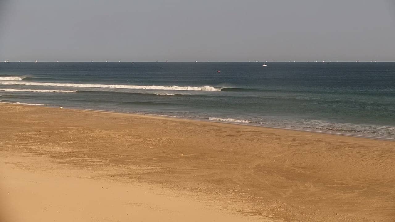
Piura - Plage de Panic Point
🇵🇪 Piura · Peru — Altitude 5 m
This live stream follows Panic Point beach on the northern Pacific coast of Peru, close to the city of Piura. It is a useful way to see how the coastline looks right now, from the sea state to the light over the sand. Watch it to plan a day on the shore or simply to see the desert coast in real time.
Piura sits in the arid north of Peru, on a flat plain a short distance inland from the Pacific. The coast here is dry and open, shaped by the cold Humboldt Current that keeps the air cooler than the latitude would suggest. Beaches in this part of the country are long stretches of sand backed by desert scrub, with fishing boats and small village life along the shore. The region is also known as a gateway to the beaches further north.
The stream shows the beach from a fixed point, so changes come from the sea, the tide and the weather rather than from camera movement. Mornings often bring calmer water and clearer light, while the afternoon can bring wind and more activity on the sand. Depending on the view, you may see surfers, fishermen or walkers. Checking the live picture before a visit helps you judge whether the water looks calm enough for a swim.
The climate is hot and mostly dry, with warm days and a cooler sea than many visitors expect. The most comfortable months for a beach visit tend to be the drier part of the year, when skies are often clearer. Nearby, you can compare conditions on the Lobitos and Mancora beach cameras, both within roughly 25 km along the same coast, which makes it easy to see how one stretch differs from the next.
Source: misolas.com
Piura, Peru — 23 km
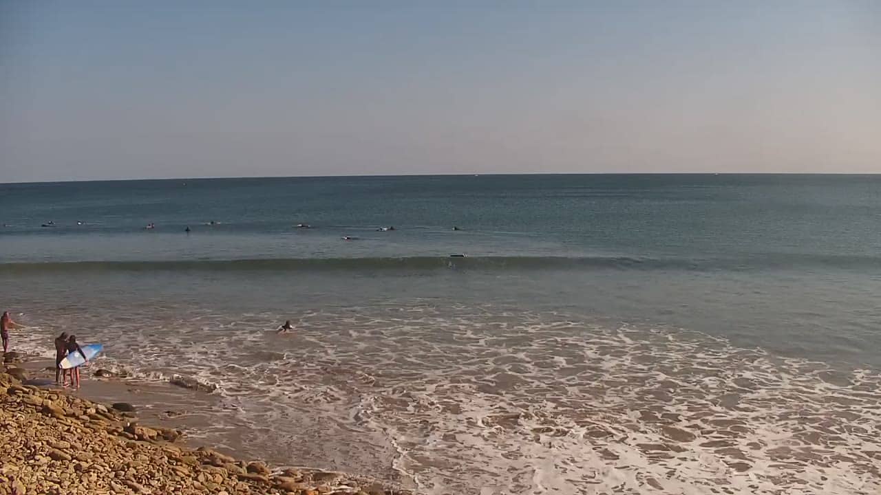
Piura, Peru — 25 km
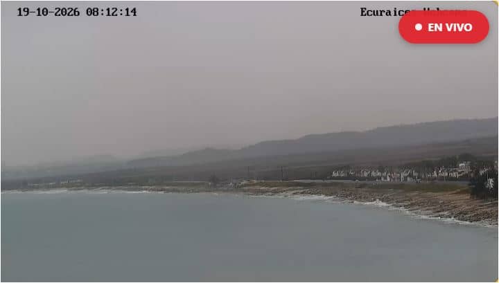
Santa Elena, Ecuador — 231 km
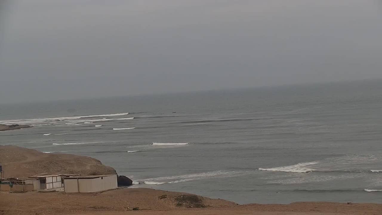
La Libertad, Peru — 396 km
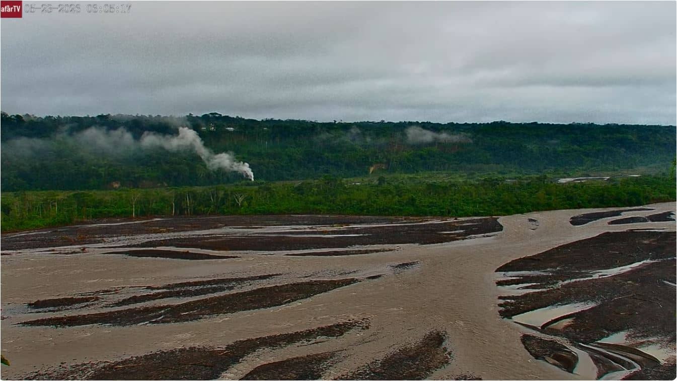
Morona Santiago Province, Ecuador — 412 km
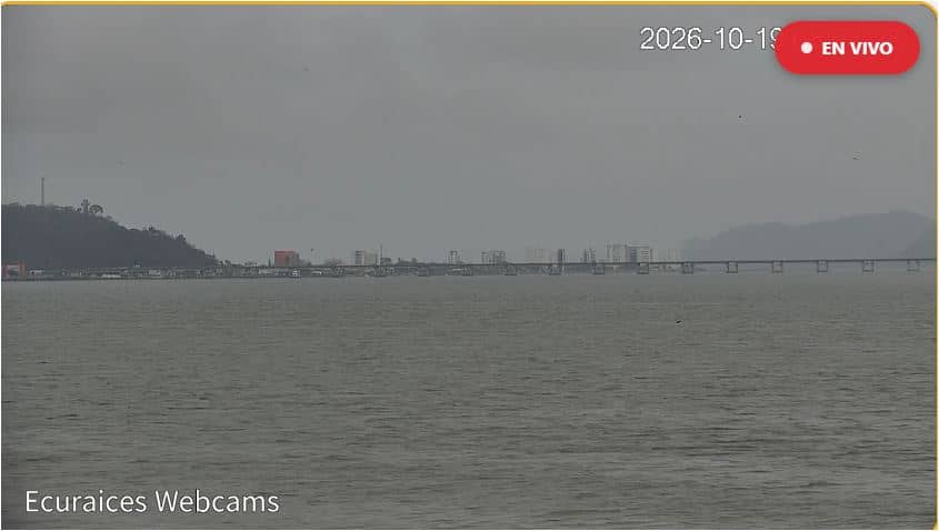
Manabí, Ecuador — 416 km
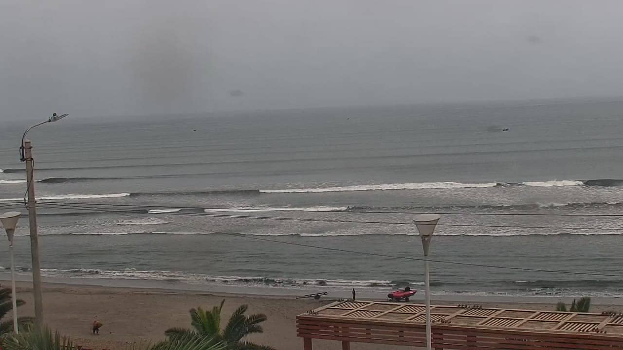
La Libertad, Peru — 432 km
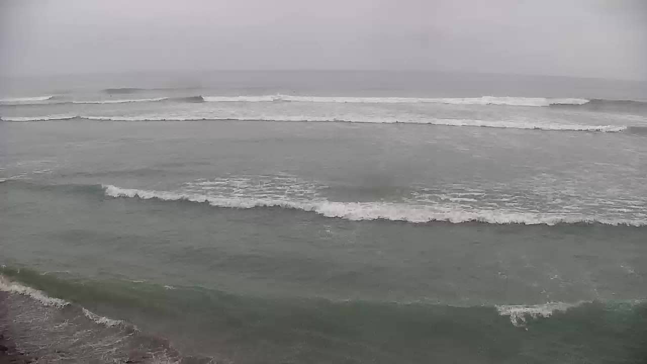
La Libertad, Peru — 486 km
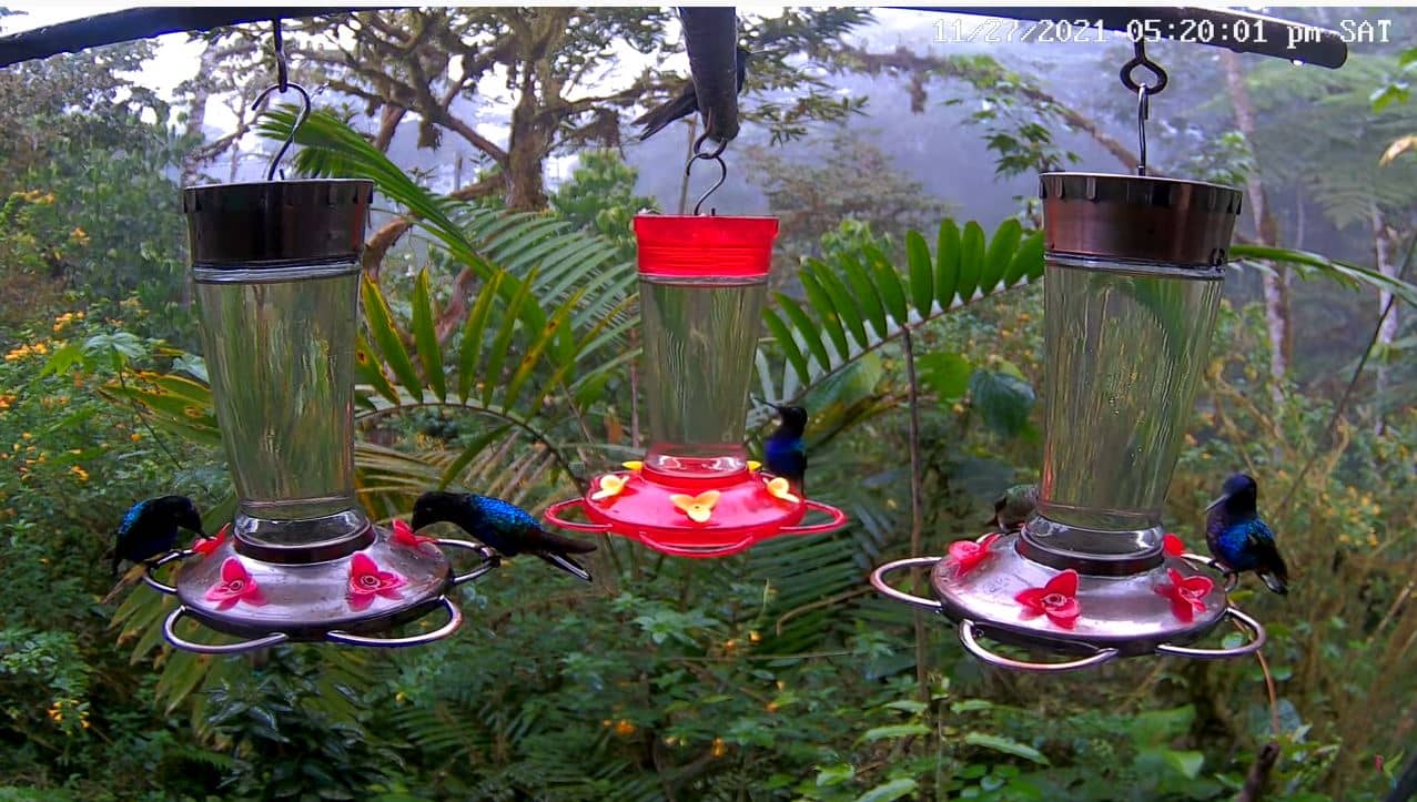
Morona Santiago Province, Ecuador — 544 km
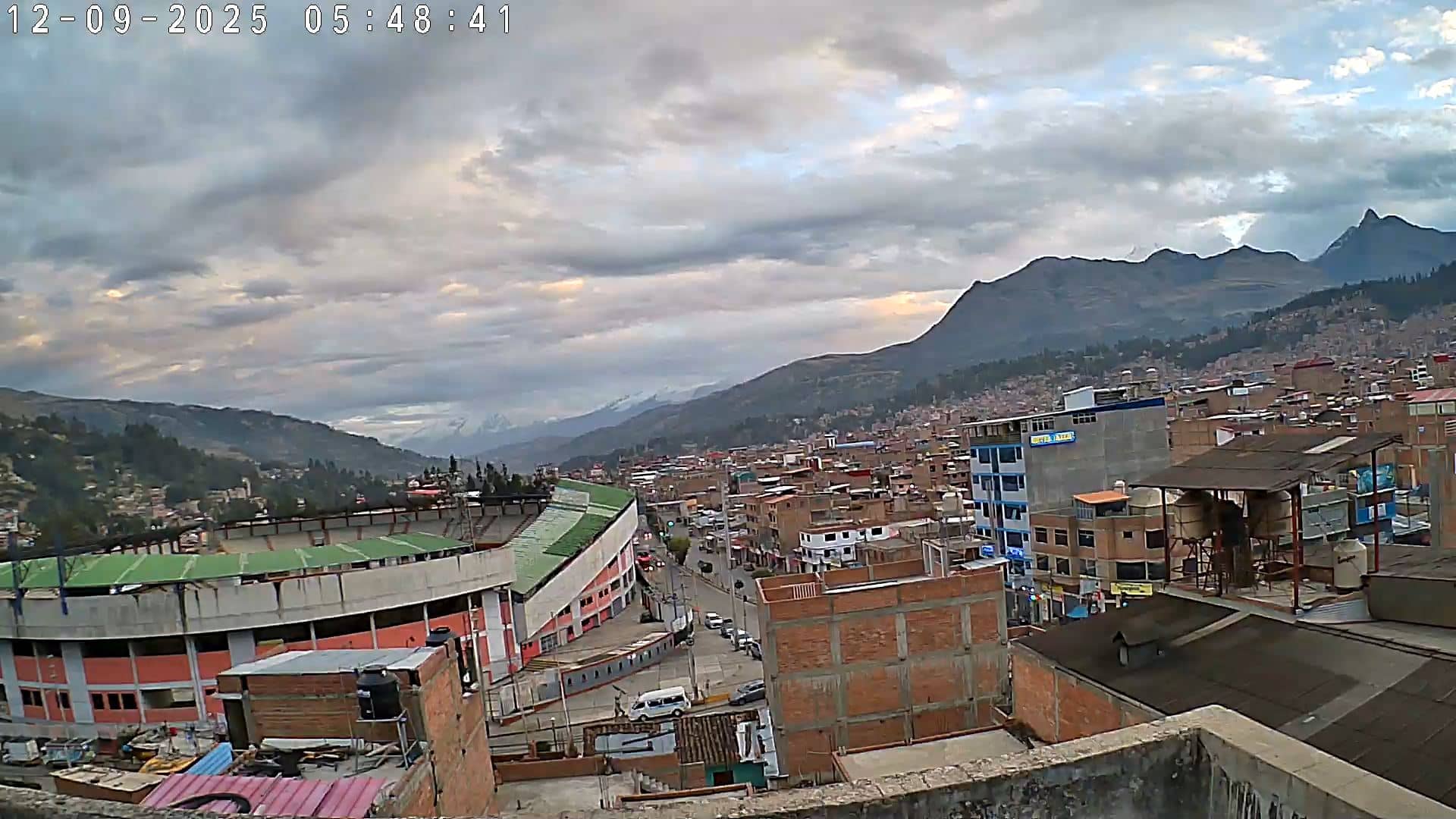
Ancash, Peru — 716 km
The current conditions and a 3-day forecast for Piura are shown in the live weather block on this page. They update so you can check temperature and wind before deciding to go to the coast.
The local time for Piura is displayed on this page and updates live. Use it to match the camera view to daylight and to plan the best time to visit.
The camera is located on the coast near the city of Piura in northern Peru. The map on this page shows its exact position along the shoreline.
Early morning and late afternoon usually give the softest light and the calmest conditions, though the best time depends on tides and weather. The live picture lets you judge the conditions as they happen.
Partner links: we may earn a commission at no extra cost to you.