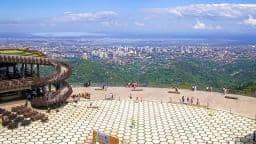
Cebu City
Cebu, Philippines — 95 km
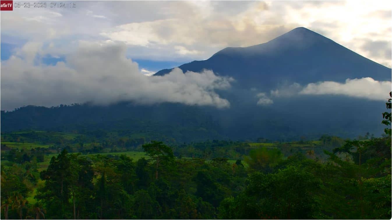
Volcan Kanlaon
🇵🇭 Negros Occidental · Philippines — Altitude 115 m
This live camera points at Kanlaon, the most active volcano in the central Philippines, rising on Negros Island. It is useful for anyone following the volcano's activity or planning a trip to the Negros highlands. The live player is joined by local time and weather so you can judge conditions before you watch.
Kanlaon is a stratovolcano on the island of Negros, in the Negros Occidental region of the central Philippines. It is one of the country's most active volcanoes, with a history of ash emissions and eruptions that have affected surrounding communities. Its slopes are covered in forest and farmland, and the peak sits well above the surrounding towns. The landscape reflects both its volcanic origin and the fertile soils that support agriculture below it.
The title names the volcano itself, so the view is centred on the mountain rather than a town or harbour. Depending on the view, you may see the summit area, the upper slopes and any plumes or cloud that gather over the crater. Clear mornings tend to offer the best visibility, as clouds often build around the peak later in the day. Because volcanic activity can change quickly, the live stream is worth checking regularly if you are following the mountain.
Negros has a tropical climate with a wet season that usually runs from June to November, so the drier months from December to May are generally more comfortable for visiting. Temperatures stay warm year-round, and conditions on the mountain can be cooler and wetter than at sea level. Access to the volcano is restricted in periods of heightened activity, so check the latest official advisories before planning any trip. The nearby camera in Butuan, on the island of Mindanao, can help you compare conditions across the region.
Source: afartv
Cebu, Philippines — 95 km
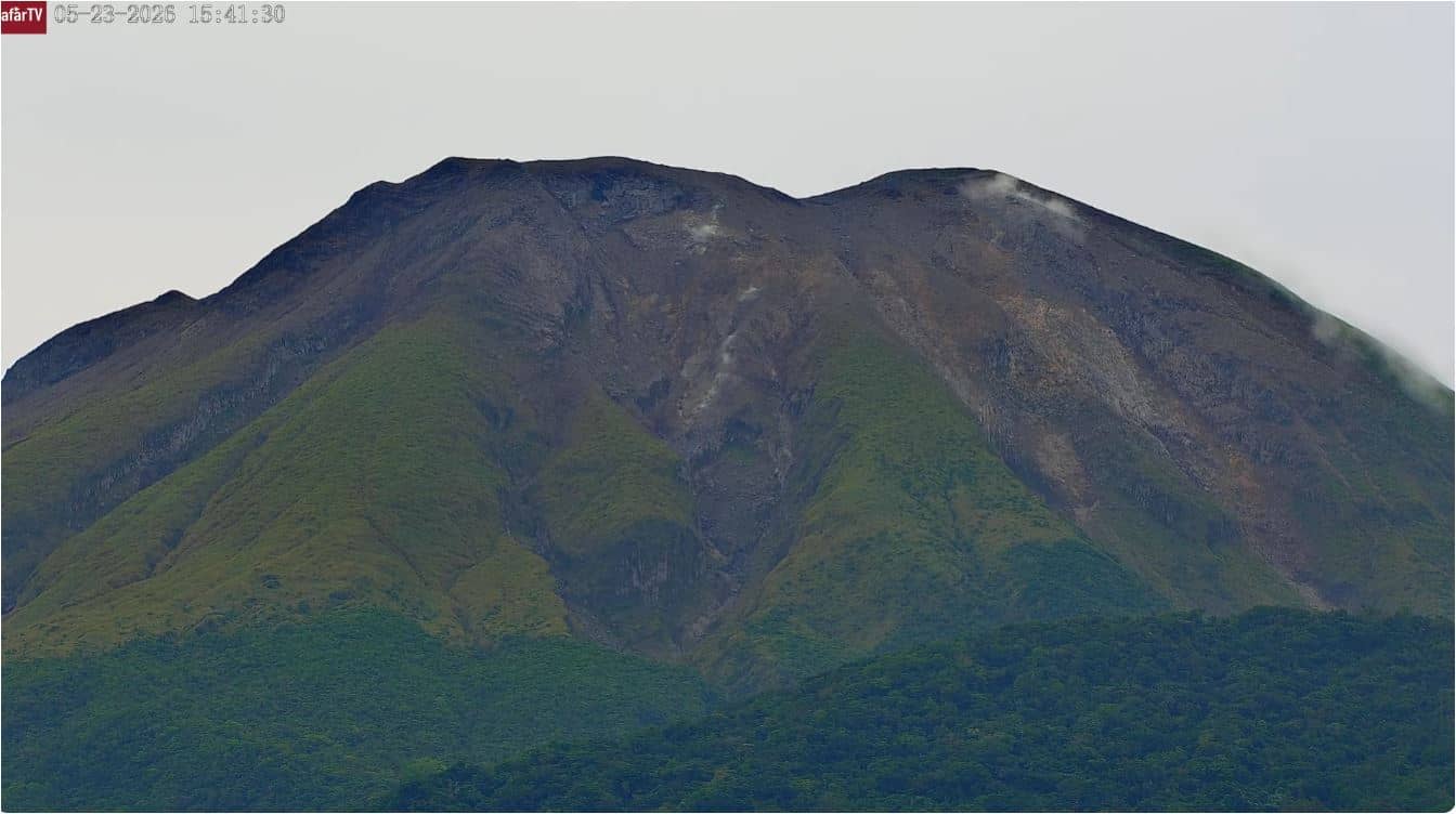
Sorsogon, Philippines — 272 km
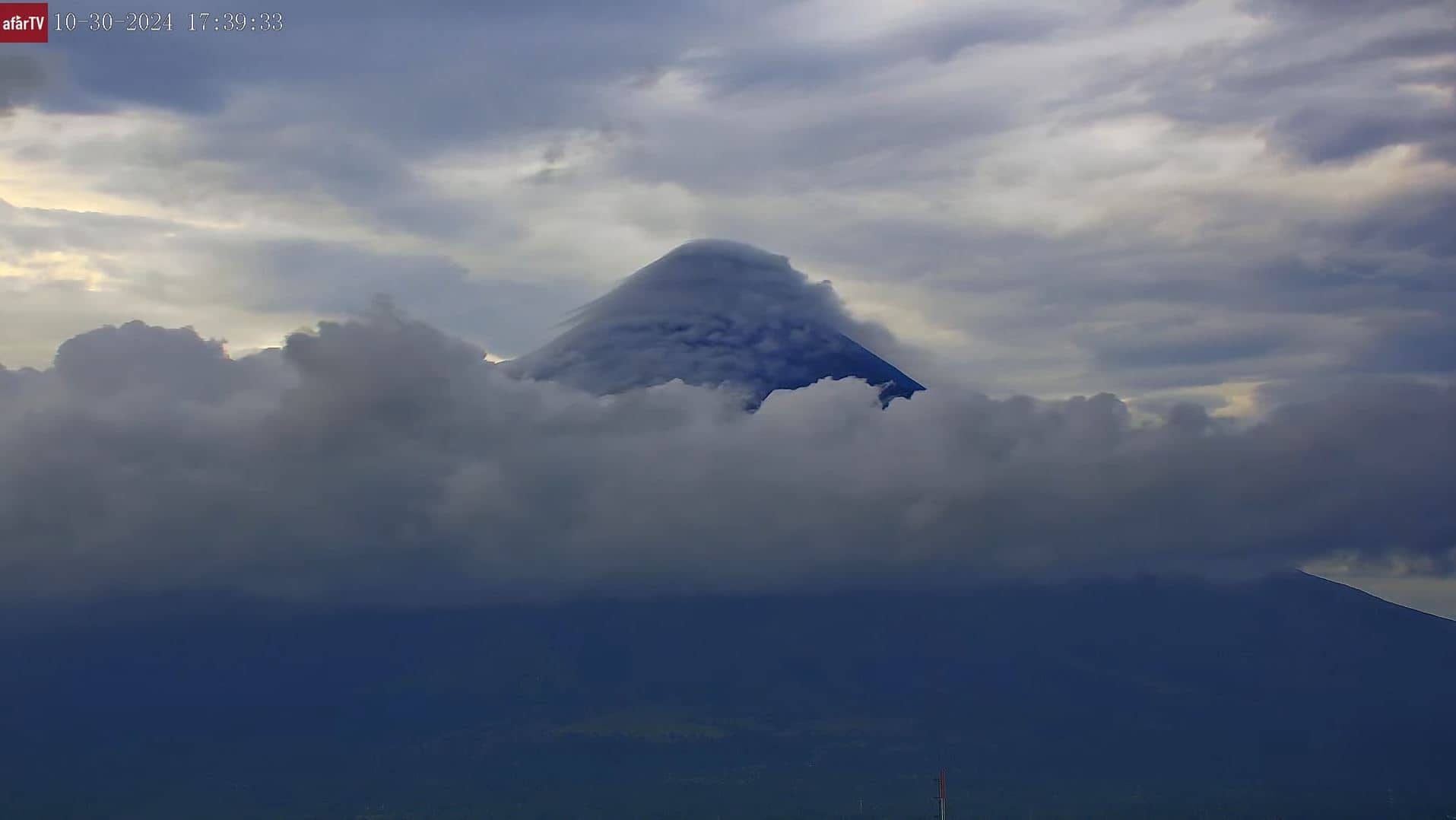
Albay, Philippines — 319 km
Agusan del Norte, Philippines — 321 km
Davao Region, Philippines — 449 km
Laguna, Philippines — 467 km
Davao Region, Philippines — 470 km
Davao Region, Philippines — 470 km
Metro Manila, Philippines — 508 km
Metro Manila, Philippines — 514 km
The current conditions and a three-day forecast are shown on this page, updated alongside the live stream. Mountain weather can differ noticeably from the lowlands, so check the figures before relying on the view.
The local time for the camera's location is displayed on this page next to the live player. It follows the Philippine time zone used across the country.
The camera is on Negros Island in the Negros Occidental region of the central Philippines. The map on this page shows the volcano's position and the surrounding area.
Early mornings often give the clearest view before cloud builds around the peak. The drier months from December to May usually offer the most reliable visibility.
Partner links: we may earn a commission at no extra cost to you.