Vrbov - Thermal park
Prešov Region, Slovakia — 5.9 km
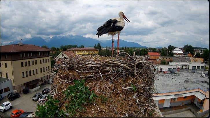
🇸🇰 Prešov Region · Slovakia — Altitude 649 m
This live stream follows Veľká Lomnica, a small mountain town at the foot of the High Tatras in northeastern Slovakia. It is useful for checking conditions before a trip to the Tatra foothills or simply keeping an eye on the mountain weather from afar.
Veľká Lomnica lies in the Prešov Region at roughly 650 metres above sea level, where the Tatra mountains rise sharply above the valley floor. The town is a gateway for visitors heading into the High Tatras, one of the highest ranges in the Carpathians, and it has a quiet, village character with views toward the peaks. The surrounding forests and meadows change noticeably from season to season.
The camera's title does not name a specific viewpoint, so it is best to treat the stream as a general look at the town and its mountain outlook rather than a fixed landmark. Depending on the view, you may see changing cloud over the ridges, snow cover in winter, or the first green of spring. Early mornings and clear afternoons after a front has passed tend to be the most rewarding times to check.
The area has a cool mountain climate, with cold snowy winters and mild summers, and weather can shift quickly in the peaks. Late spring and early autumn are often pleasant for walking, while winter brings skiing to the nearby resorts. Tatranská Lomnica and Horný Smokovec are a short drive away, and the Poprad area with its aquapark and thermal park lies to the south and west.
Source: kukaj.sk
Prešov Region, Slovakia — 5.9 km
Prešov Region, Slovakia — 7 km
Prešov Region, Slovakia — 11 km
Prešov Region, Slovakia — 12 km
Prešov Region, Slovakia — 12 km
Prešov Region, Slovakia — 15 km
Prešov Region, Slovakia — 16 km
Prešov Region, Slovakia — 17 km
Prešov Region, Slovakia — 18 km
Lesser Poland, Poland — 18 km
The current conditions and a three-day forecast are shown in the live weather block on this page, updated alongside the stream.
The local time is displayed on the page and follows Central European time, which Slovakia uses.
The town sits at about 49.11 north and 20.36 east in the Prešov Region, at the foot of the High Tatras. The map on the page marks its position.
Mornings and clear afternoons are often the most useful, especially in winter when snow and visibility change the scene the most.
Partner links: we may earn a commission at no extra cost to you.