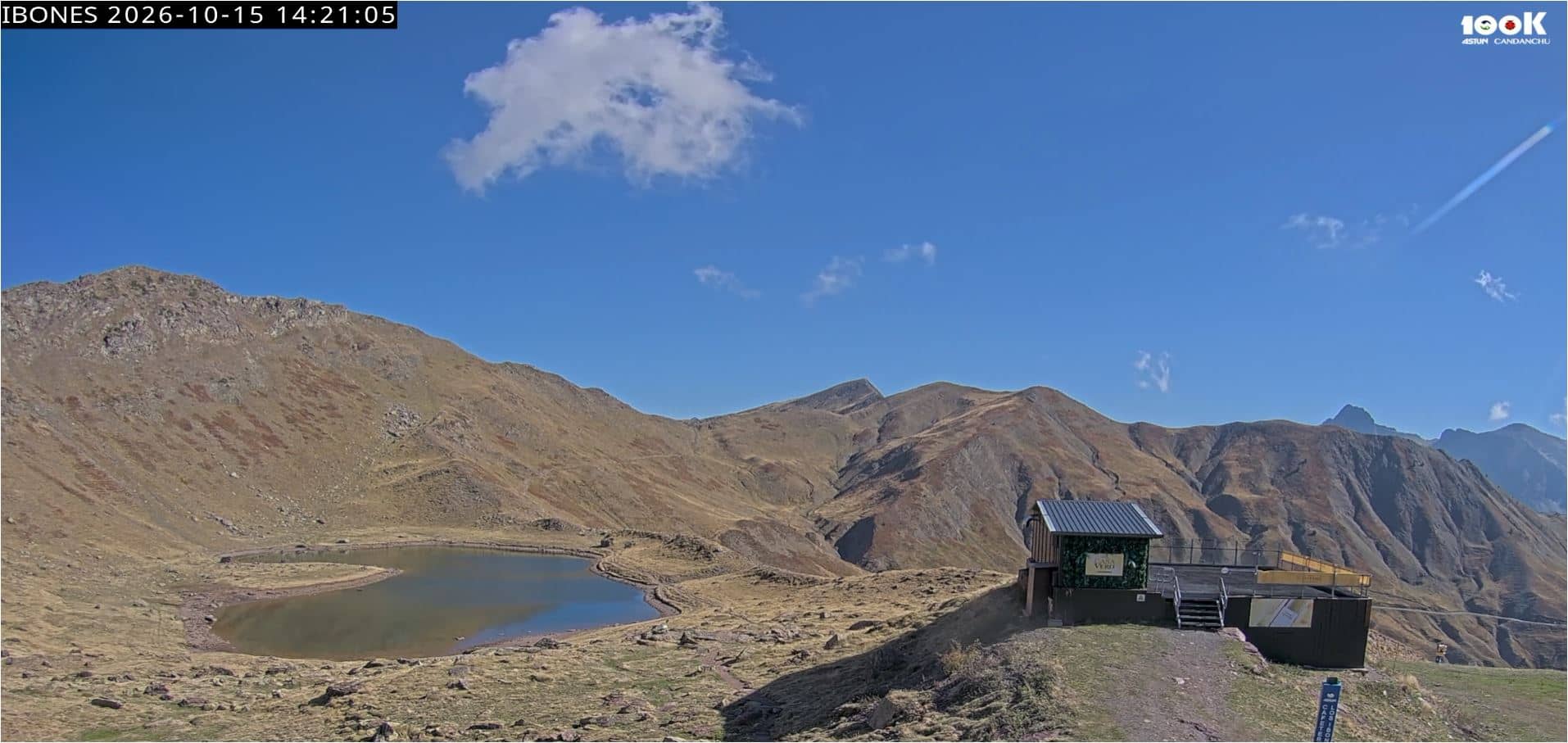
Astún - Los Ibones – Ibón de las Truchas
Aragon, Spain — 5.9 km
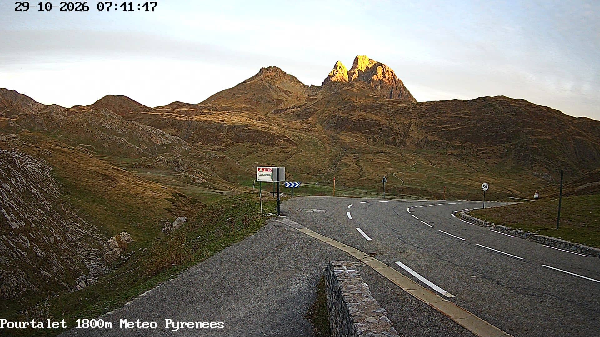
🇫🇷 Nouvelle-Aquitaine · France — Altitude 1798 m
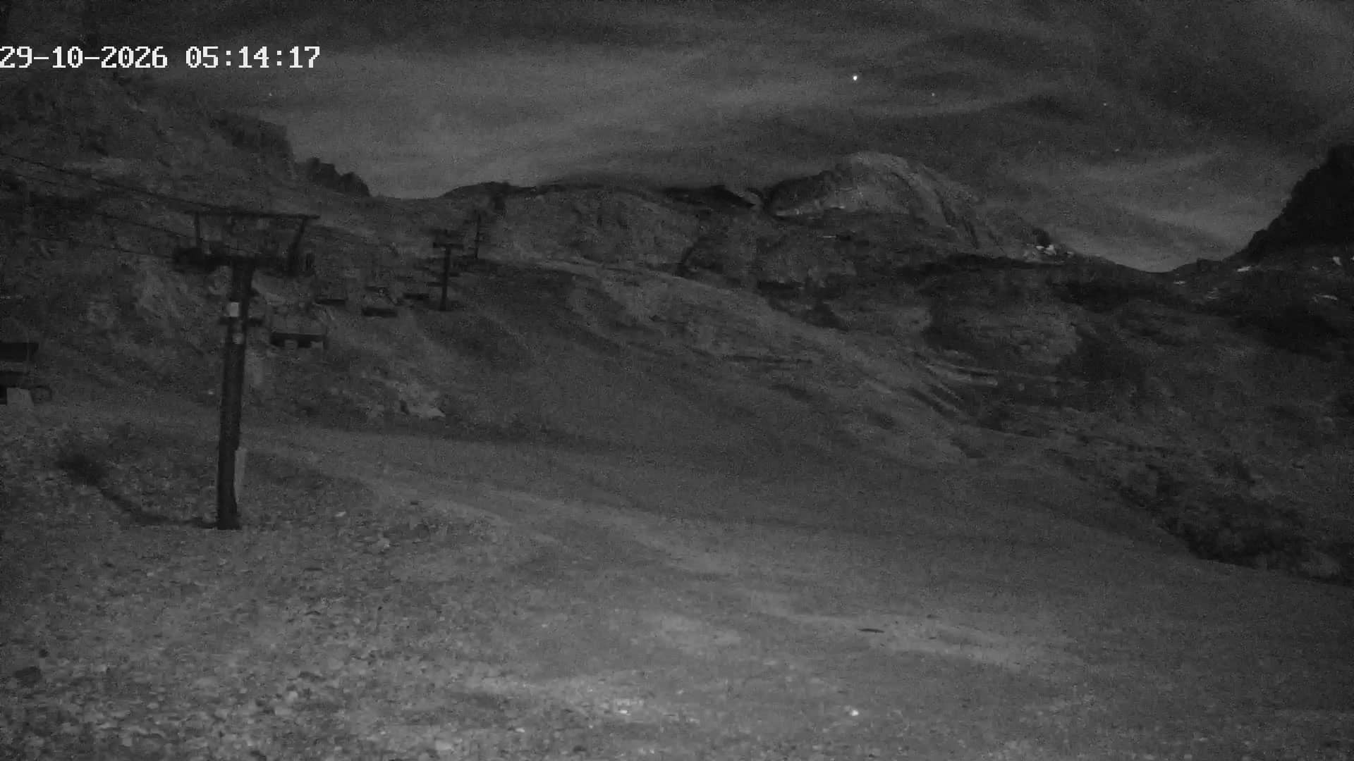
This camera looks out over the Col de Pourtalet, a high mountain pass on the border between France and Spain. It is useful for seeing current snow and cloud conditions on the crest before you drive or hike in the area.
The Col de Pourtalet sits at roughly 1,800 metres in the Pyrenees, linking the Aspe valley in Nouvelle-Aquitaine with the Spanish side near Panticosa. The landscape is open and rocky, with grassy slopes, scree and high peaks. The road over the pass has long been a historic crossing between the two countries, and the surrounding area is valued by hikers, skiers and nature lovers.
The camera is a mountain view, so the picture is mostly about weather and light: cloud moving over the ridge, fresh snow in winter, and the changing colours of the slopes in spring and autumn. Mornings are often clearer before cloud builds up in the afternoon. Because conditions at altitude change quickly, the view is worth checking shortly before any trip.
Winters are cold and snowy, and the pass is often affected by snow in colder months, so check road status before travelling. Summer and early autumn are generally the most accessible periods for walking. Nearby cameras include Le Somport, Artouste and Gourette, which show other points in the same mountain range.
Source: Météo Pyrénées
Aragon, Spain — 5.9 km

Aragon, Spain — 9 km

Aragon, Spain — 9.3 km
Occitania, France — 9.3 km
Nouvelle-Aquitaine, France — 9.8 km
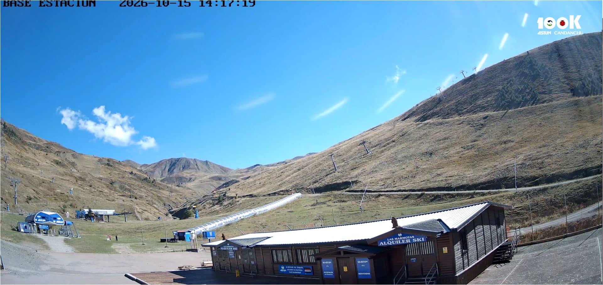
Aragon, Spain — 9.9 km
Nouvelle-Aquitaine, France — 12 km
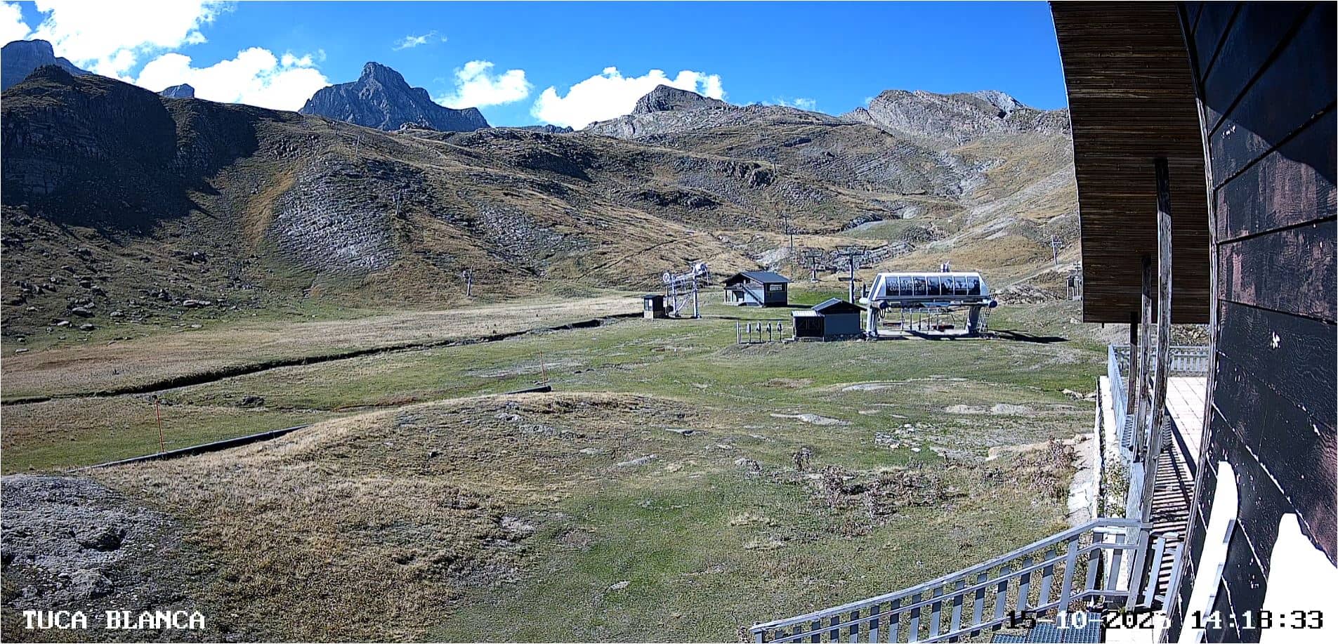
Aragon, Spain — 12 km
Nouvelle-Aquitaine, France — 13 km
Nouvelle-Aquitaine, France — 16 km
The current weather and a 3-day forecast are shown in the live block on this page. At this altitude conditions can change quickly, so check it before you set out.
The local time for the pass is shown live on this page, based on the local time zone for France.
The camera is at the Col de Pourtalet, on the French-Spanish border in the central Pyrenees, at about 1,800 metres above sea level. The map on this page shows the exact location.
Mornings are often clearest, and winter snow or summer walking seasons each give a different view. Check the live image shortly before watching, since cloud can arrive quickly over the ridge.
Partner links: we may earn a commission at no extra cost to you.