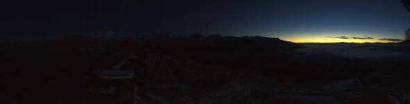
Laax - Crap Sogn Gion Plaun
Graubünden, Switzerland — 2.8 km

Laax - Crap Masegn
🇨🇭 Graubünden · Switzerland — Altitude 2505 m
This live camera looks out over the mountain terrain above Laax, a ski and snowboard resort in the Swiss canton of Graubünden. It lets you judge snow cover, cloud and visibility before you head up or plan a hike. The feed updates through the day, so it is useful for checking conditions as they change.
Laax sits in the Surselva valley of the Vorderrhein, below the Crap Masegn and the surrounding peaks of the Flims-Laax area. The village is best known as a winter sports destination with a large network of lifts, and it has a strong snowboard tradition. In summer the same slopes turn into open alpine meadows and trails, which is why the valley draws hikers and mountain bikers as well. At about 2,500 metres the camera position sits well above the valley floor, so the scenery is wide and open.
The title names a mountain rather than a specific piece of infrastructure, so depending on the view you may see ridgelines, pistes, cloud banks rolling over the peaks or clear alpine sky. Mornings after fresh snowfall are often the most striking, when the slopes are bright and the air is clear. Late afternoon can bring a warm light across the rock faces. Check the live image before travelling, because cloud can hide the summits for hours at a time.
Winter brings the most reliable snow, usually from December to March, while summer is suited to hiking when higher paths are free of snow. Weather at this altitude changes quickly, so the forecast on this page is worth reading alongside the live view. Other cameras nearby include Crap Sogn Gion Plaun and Crap Sogn Gion Park, both about 3 km away, and Berghaus Nagens and La Siala a little further off.
Source: roundshot.com
Graubünden, Switzerland — 2.8 km

Graubünden, Switzerland — 2.9 km

Graubünden, Switzerland — 4.6 km
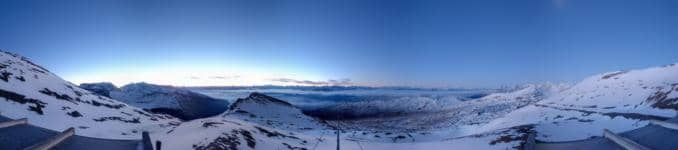
Graubünden, Switzerland — 4.6 km

Graubünden, Switzerland — 4.6 km

Graubünden, Switzerland — 5.3 km

Graubünden, Switzerland — 6.8 km

Graubünden, Switzerland — 7 km
Graubünden, Switzerland — 7.8 km
Glarus, Switzerland — 8.9 km
The current conditions and a three-day forecast for this mountain are shown in the weather block on this page. Because the camera sits at high altitude, conditions can differ noticeably from the valley below.
The local time for Laax is displayed live on this page. Switzerland follows Central European Time, with summer time in the warmer months.
The camera is on the mountain above Laax in the canton of Graubünden, at about 2,505 metres above sea level. The map on this page shows its position in the Surselva area.
Clear mornings after snowfall are usually the most rewarding, and winter gives the clearest picture of the slopes. In summer, watch for stable weather if you plan to hike the higher trails.
Partner links: we may earn a commission at no extra cost to you.