
Blenio - Pizzo Matro
Ticino, Switzerland — 9.8 km

Airolo - Capanna Gorda
🇨🇭 Ticino · Switzerland — Altitude 1810 m
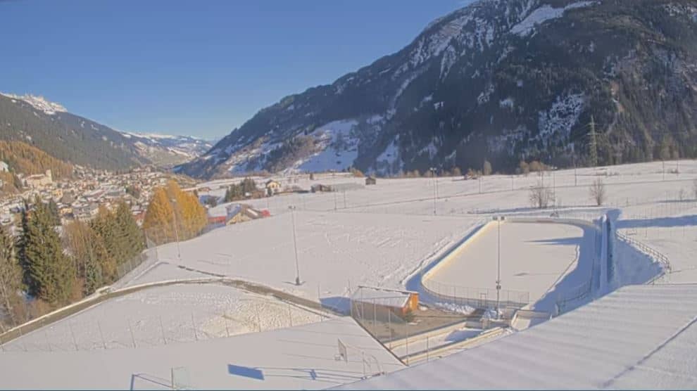
This live camera looks out over Airolo, a village in the Ticino Alps at the southern end of the Gotthard route. The feed is a good way to judge the mountain weather and the view down the valley before you plan a walk or drive over the pass. The page also shows local time and a short forecast.
Airolo sits at about 1,140 metres in the upper Leventina valley, where the Ticino river begins its course south towards Lake Maggiore. The village is a traditional stop on the road and rail routes through the Gotthard, and the surrounding slopes are steep, forested and open to alpine meadows higher up. The camera stands at around 1,800 metres, so it looks down onto a landscape that changes quickly with altitude and light.
Depending on the view, you may see the valley floor, the mountain flanks, passing clouds and the snow line as the seasons change. Clear mornings often bring the sharpest outlines of the peaks, while afternoon cloud build-up is common in summer. Winter brings snow cover and cold, still air in the valley, and spring often shows the melt working its way up the slopes.
Airolo has a mountain climate with cool summers and snowy winters, so pack layers even in July. The best months for hiking are usually late June to September, when the higher trails are open. Nearby cameras include Blenio at Pizzo Matro, about 10 km away, Vals at Zervreila at 18 km and San Bernardino at Pan de Zucher at 19 km, which together give a wider picture of the region.
Source: roundshot.com
Ticino, Switzerland — 9.8 km
Graubünden, Switzerland — 18 km

Graubünden, Switzerland — 19 km

Graubünden, Switzerland — 22 km
Graubünden, Switzerland — 22 km
Graubünden, Switzerland — 23 km

Graubünden, Switzerland — 24 km

Graubünden, Switzerland — 24 km

Graubünden, Switzerland — 25 km

Uri, Switzerland — 26 km
The current conditions and a three-day forecast for Airolo are shown in the live weather block on this page. Mountain weather can change within hours, so check it again before setting out.
The local time for Airolo is displayed on this page and updates with the Swiss clock. Airolo follows the same time as the rest of Switzerland.
The camera is on the Capanna Gorda slope above Airolo in the Ticino Alps, at roughly 1,800 metres altitude. The map on this page shows its position in the upper Leventina valley.
Clear mornings give the sharpest views of the peaks, and summer afternoons often bring cloud. Winter and spring show the most change in snow cover, so these seasons are worth checking for conditions.
Partner links: we may earn a commission at no extra cost to you.