Les Anses d'Arlet
Martinique, France — 429 km
Port-of-Spain - Maracas Beach UncleSamTT
🇹🇹 Port of Spain · Trinidad & Tobago — Altitude 5 m
This live camera looks over Maracas Beach, one of the best-known stretches of sand on the north coast of Trinidad, a short drive from Port-of-Spain. It is a useful way to see whether the bay is calm, how busy the shoreline is, and what the sky looks like before you plan a visit.
Maracas Bay sits on the northern range of Trinidad, where a curving bay of pale sand meets green hills. It is the island's most famous beach and has long been a weekend destination for locals who come for the sea, the shade of the coconut palms and the food stalls along the road. The bay is framed by forested slopes, which gives it a quieter, more rural feel than the capital just to the south.
The view is of a beach, so the picture is most useful for judging surf, wind and crowd levels rather than for details of the water itself. Mornings often bring calmer sea, while afternoons can bring more wind and cloud building over the hills. Weekends and public holidays tend to be the busiest times to see people on the sand. The live feed is best for checking conditions shortly before you set out.
Trinidad has a tropical climate with warm temperatures throughout the year and a rainy season that usually runs from June to December. The drier months, roughly January to May, are generally the preferred time to visit. Maracas Bay is reached by road from Port-of-Spain over the northern hills, a journey that takes about an hour depending on traffic. Check current weather on this page before heading out, since showers can arrive quickly.
Source: myearthcam.com
Martinique, France — 429 km
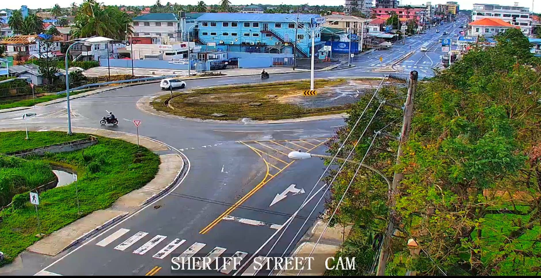
Demerara-Mahaica, Guyana — 566 km
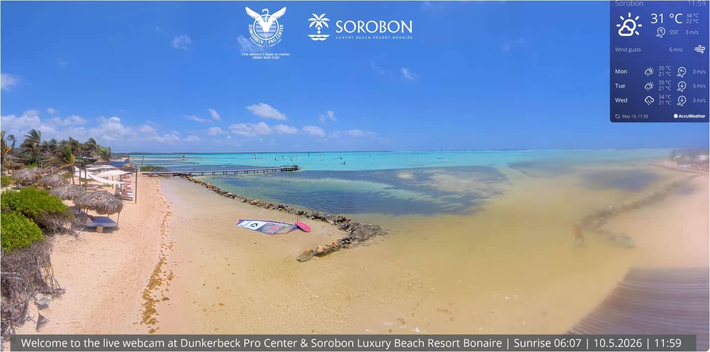
Bonaire, Caribbean Netherlands — 749 km
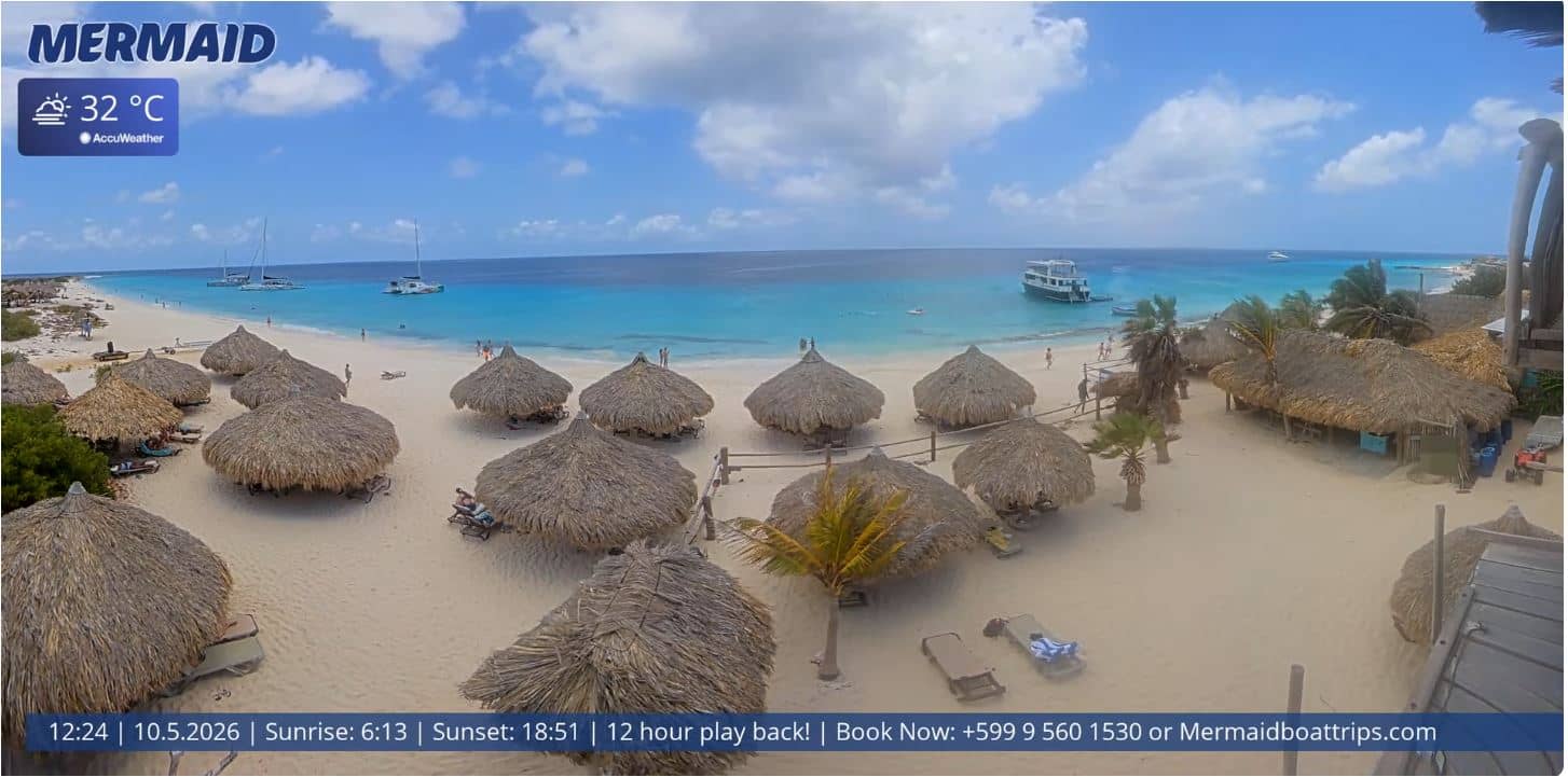
Curaçao — 791 km

Saint Barthélemy, France — 818 km

Saint Barthélemy, France — 818 km

Saint Barthélemy, France — 818 km
Saint Barthélemy, France — 818 km

Saint Barthélemy, France — 819 km

Saint Barthélemy, France — 819 km
The current conditions and a three-day forecast for the area are shown in the live weather block on this page, updated automatically.
The local time for Trinidad is displayed on this page and updates in real time, so you can see the time at the beach before you call or travel.
The camera is on the north coast of Trinidad near Port-of-Spain, at roughly 10.66 degrees north and 61.52 degrees west. A map on this page marks its location.
Weekend mornings are usually calm and useful for checking the sea, while afternoons show more wind and cloud. Check the weather block first to see what is developing.
Partner links: we may earn a commission at no extra cost to you.