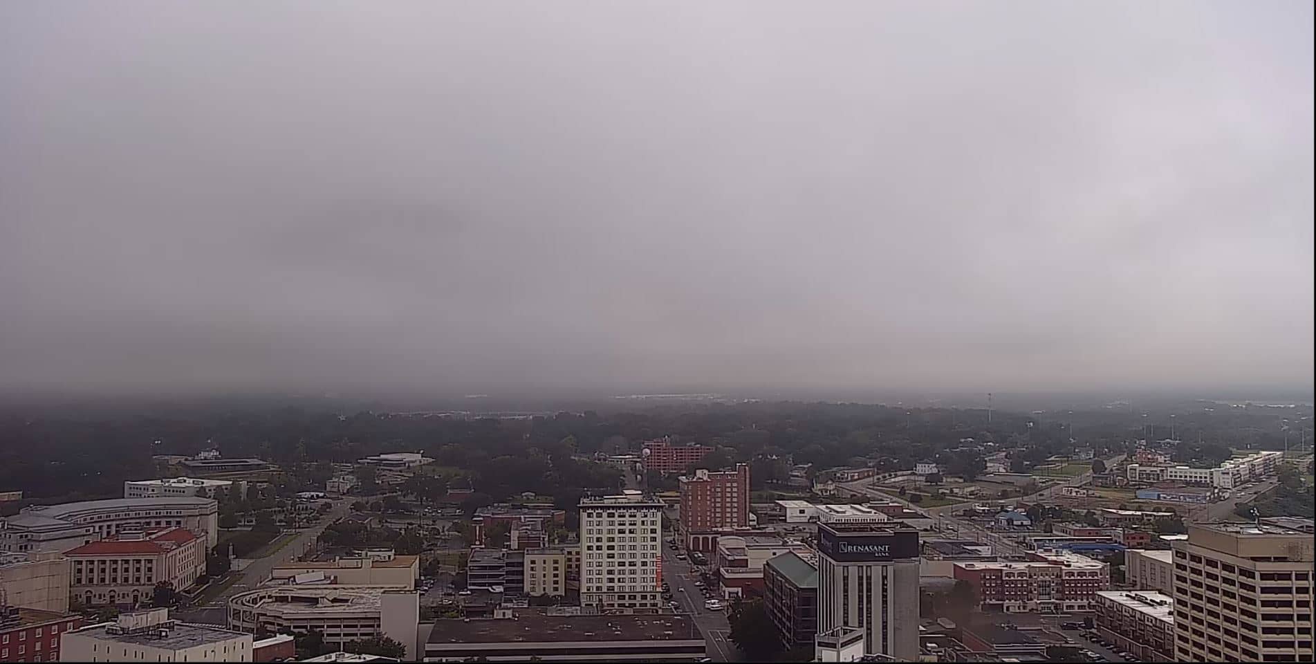
Montgomery
Alabama, United States — 10 km
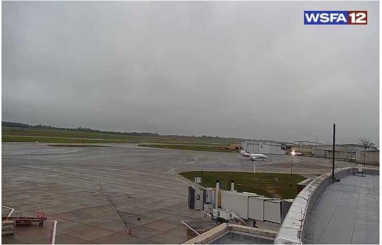
Montgomery - Regional Airport
🇺🇸 Alabama · United States — Altitude 77 m
This live camera looks toward Montgomery Regional Airport, the main commercial airport serving Alabama's state capital. It is useful for anyone checking on arrivals, departures or simply how conditions look on the field at the moment. The page also shows local time and the weather outlook.
Montgomery sits on the Alabama River in the central part of the state and has served as the state capital since the mid-nineteenth century. It is closely tied to government, education and the civil rights history of the American South. The city lies in a gently rolling landscape of pine and hardwood forest, with the river shaping much of its character.
Because the title refers to the airport, the view is most likely centred on the runway and apron, so you may see aircraft movements, ground vehicles and the sky over the field. Activity tends to follow the daily schedule of flights, with mornings and late afternoons usually busier. Clear days give the best visibility, while summer storms can build quickly and change the scene within minutes.
Montgomery has a humid subtropical climate, with hot, humid summers and mild winters. Spring and autumn are generally the most comfortable times to visit. The airport is a short drive from the city centre, and nearby cameras in Wetumpka and across Montgomery can give you a wider sense of the region.
Source: Webcam Montgomery
Alabama, United States — 10 km
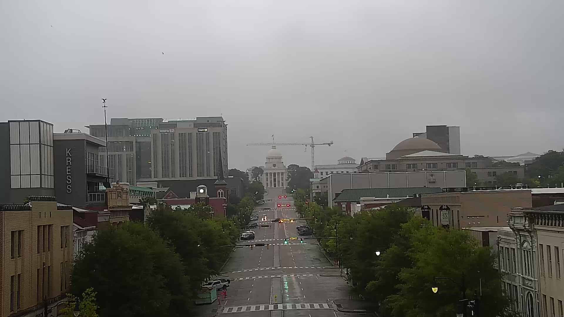
Alabama, United States — 11 km

Alabama, United States — 12 km
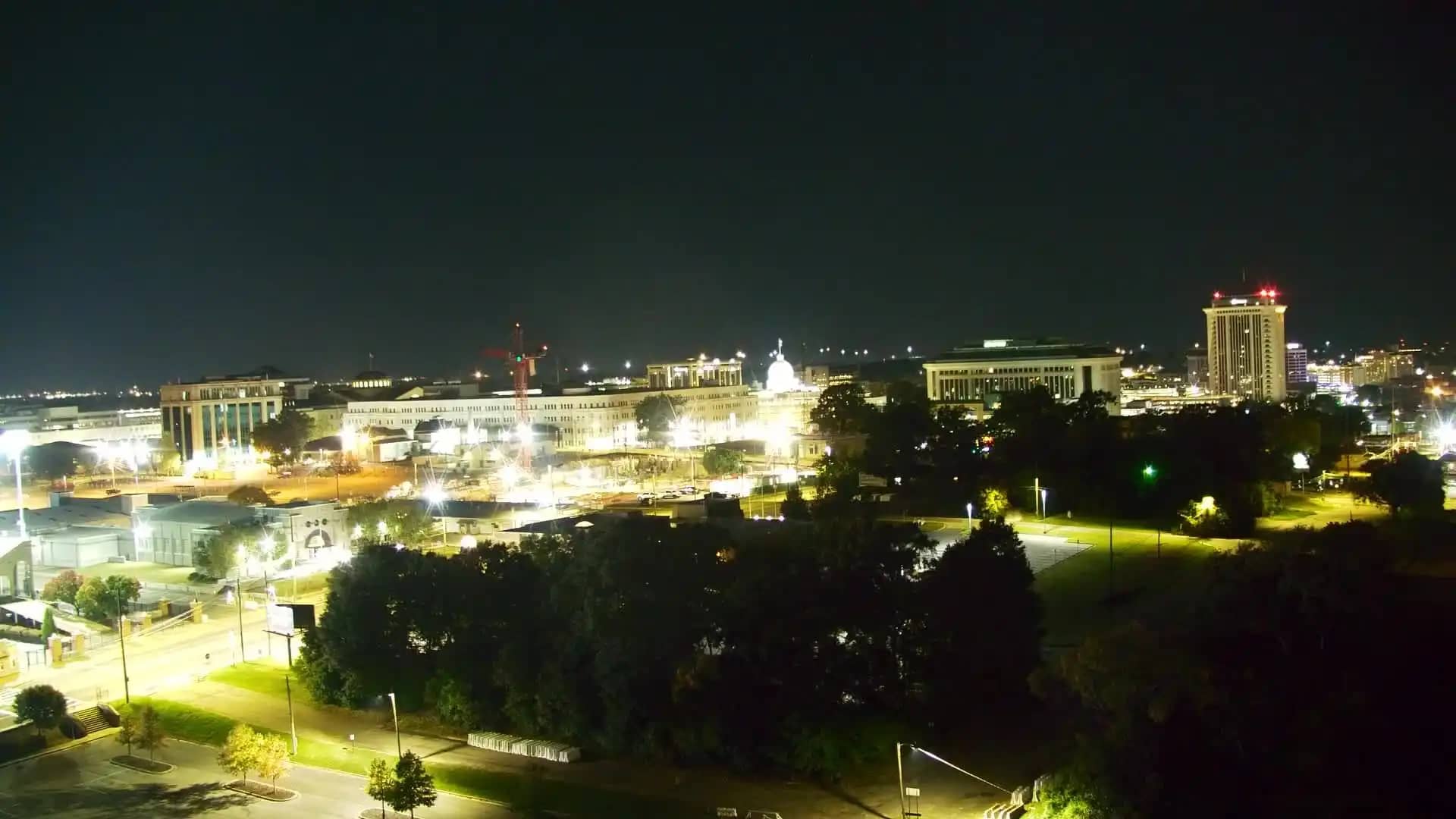
Alabama, United States — 13 km
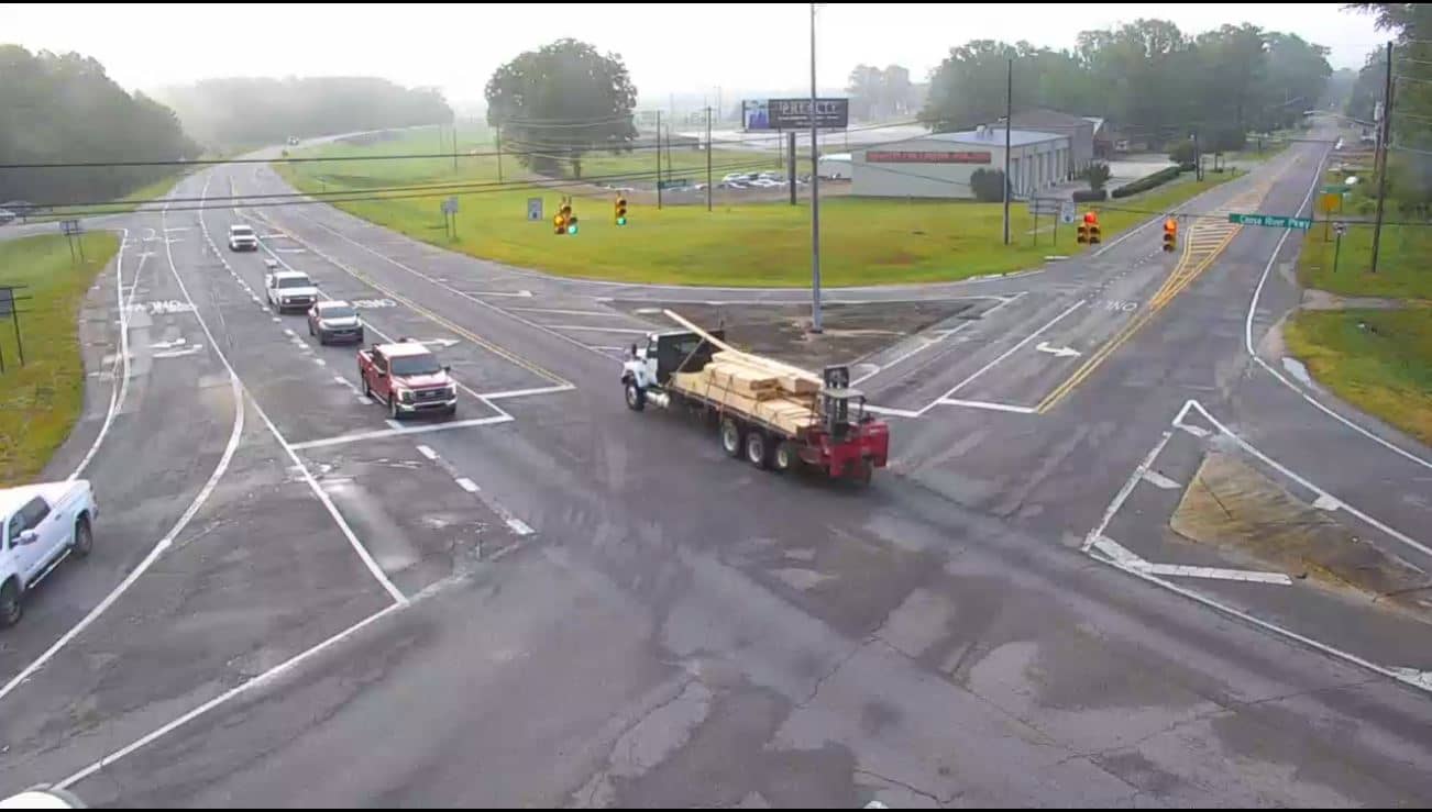
Alabama, United States — 30 km
Alabama, United States — 58 km
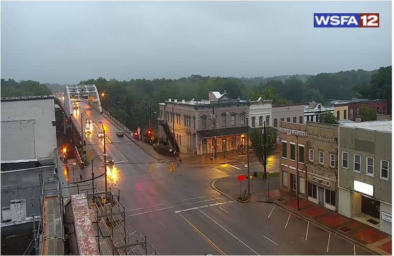
Alabama, United States — 60 km
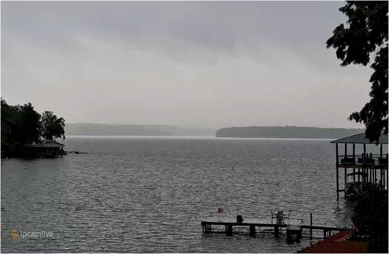
Alabama, United States — 62 km
Alabama, United States — 62 km
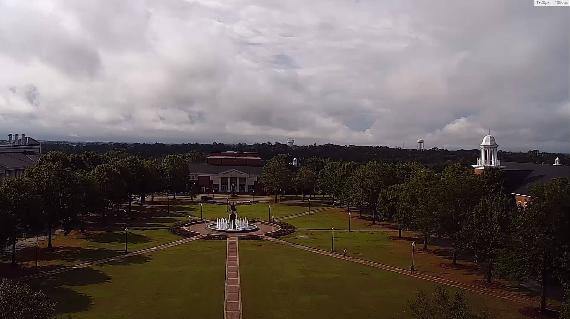
Alabama, United States — 65 km
The current conditions and a three-day forecast are shown in the weather block on this page, updated for Montgomery. Check it before heading to the airport, since storms can affect flights in summer.
The local time for Montgomery is displayed on this page and follows the Central time zone used across this part of Alabama. Use it to plan when to watch the camera.
The map on this page marks the camera position at Montgomery Regional Airport. Nearby cameras in the city and in Wetumpka are listed below if you want to explore the area.
Watching during daylight gives the clearest view, and morning or late afternoon often brings more movement. Visibility depends on the weather, so check the forecast on the page.
Partner links: we may earn a commission at no extra cost to you.