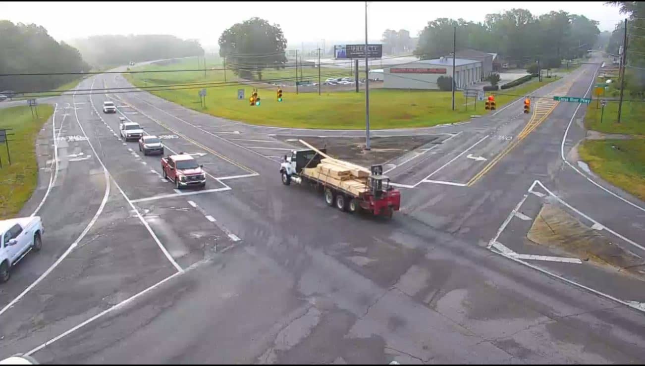
Wetumpka
Alabama, United States — 33 km
Lake Martin
🇺🇸 Alabama · United States — Altitude 155 m
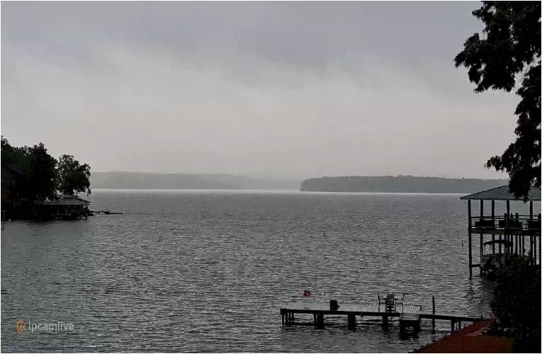
This live stream looks out over Lake Martin, a large reservoir in east-central Alabama formed by the Martin Dam on the Tallapoosa River. It is a useful window for anyone checking how the lake looks before a trip or simply curious about the water on a given day.
Lake Martin lies in the Tallapoosa River basin, roughly 155 metres above sea level, and is one of the best-known recreational lakes in Alabama. Its long, wooded shoreline has many coves and inlets, and the area is closely tied to boating, fishing and lakeside homes. The surrounding hills are covered in pine and hardwood forest, which gives the water a calm, green setting in most seasons.
The camera is listed under nature, so the view is best read as an open lake and shoreline scene rather than a town or port. Depending on the angle, you may see open water, tree lines and changing light across the surface. Mornings often bring still water and mist, while late afternoon light is good for judging the weather. Watch the water surface on windy days to see how conditions build up.
The region has a humid subtropical climate, with hot, muggy summers and mild winters. Spring and autumn are generally the most comfortable seasons for time on the water. Nearby cameras in Wetumpka, Tuskegee and Auburn can help you compare conditions across the wider area, and Auburn is the most convenient base for visitors looking for services and accommodation.
Source: wsfa.com
Alabama, United States — 33 km
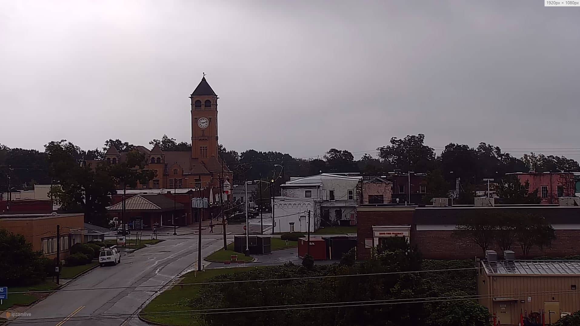
Alabama, United States — 43 km
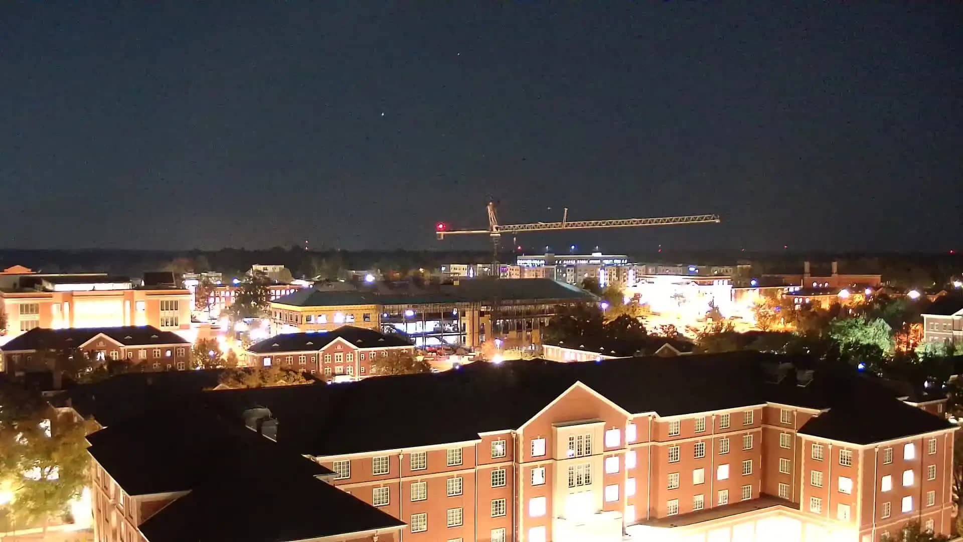
Alabama, United States — 48 km
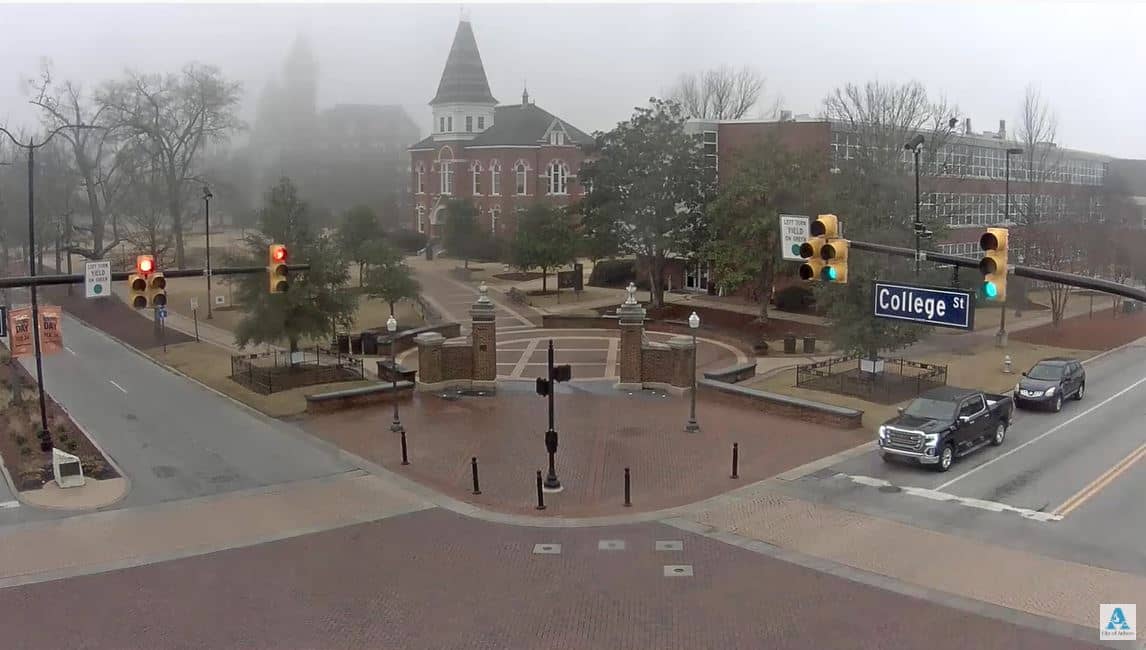
Alabama, United States — 48 km
Alabama, United States — 50 km

Alabama, United States — 51 km
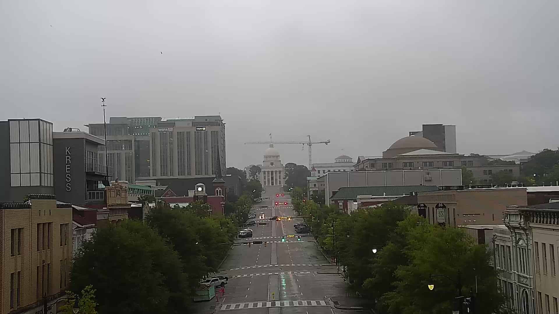
Alabama, United States — 51 km
Alabama, United States — 52 km
Alabama, United States — 52 km
Alabama, United States — 55 km
The current conditions and a 3-day forecast for Lake Martin are shown in the live weather block on this page, updated automatically. Check it before heading out on the water.
The local time for Lake Martin, Alabama, is displayed on this page and follows the Central time zone used across the region.
The camera is located in east-central Alabama at approximately 32.74 degrees north and 85.97 degrees west. The map on this page shows its position and the nearby cameras.
Early morning and late afternoon are often the most interesting, as the light is softer and water conditions are easier to read. Weather changes, such as wind or storms, are also worth watching.
Partner links: we may earn a commission at no extra cost to you.