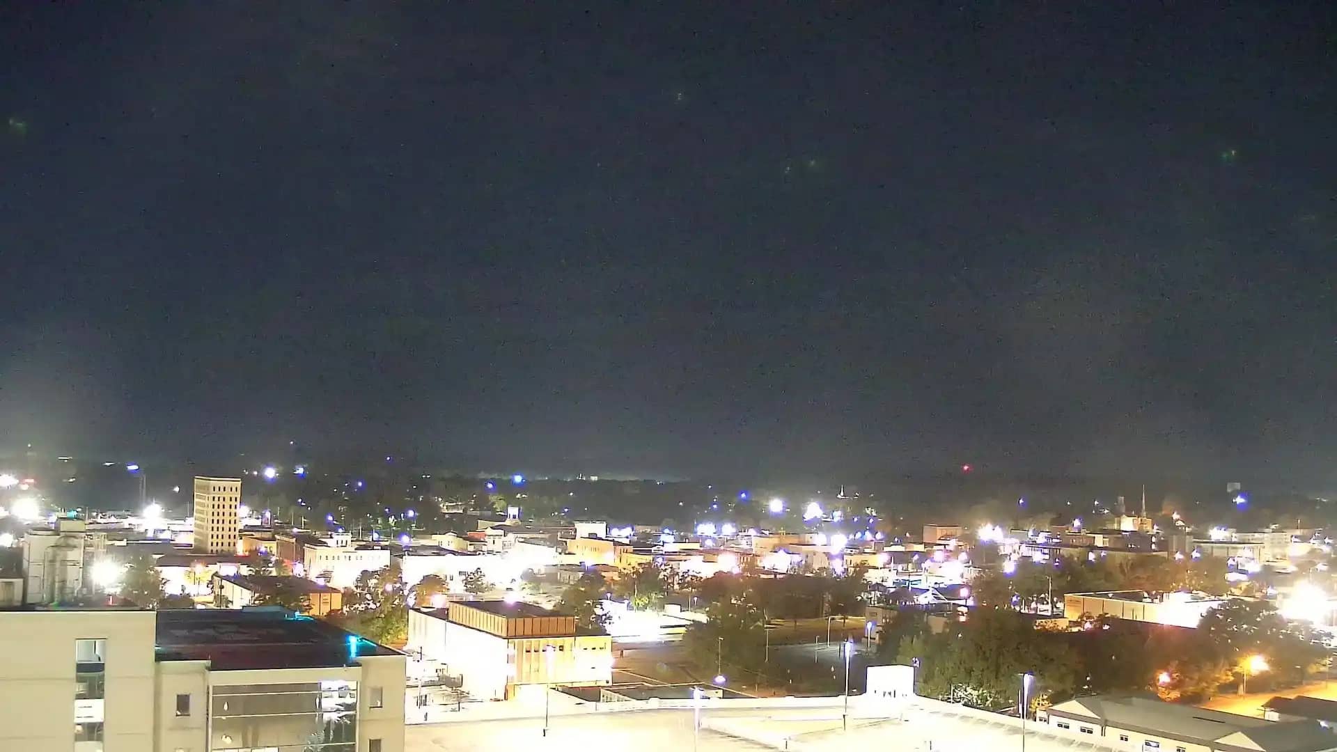
Anniston
Alabama, United States — 19 km
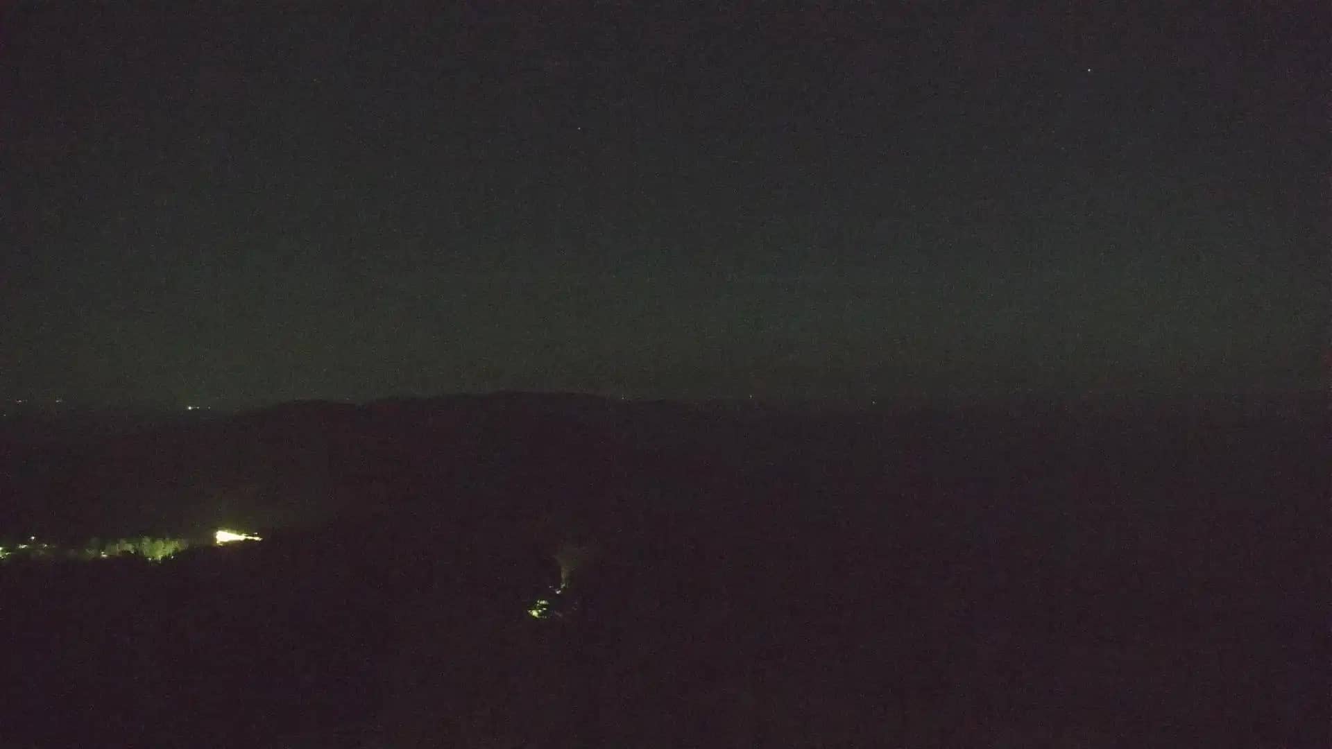
Cheaha - Mt.
🇺🇸 Alabama · United States — Altitude 732 m
This camera watches Cheaha Mountain, the highest point in Alabama at roughly 732 metres. The live feed lets you check the summit conditions before a drive up or a hike through the Talladega range. The page also shows the local time and forecast for the area.
Cheaha sits in the Talladega Mountains of east-central Alabama and is the state's highest natural elevation. It is part of Cheaha State Park, known for forested ridgelines, hardwood and pine woods, and a stone observation tower near the top. The mountain is a popular stop for hikers and campers. Its landscape changes noticeably between the wooded lower slopes and the more exposed summit.
Because the camera is focused on the mountain, the view is mainly about the ridges, the sky and the weather moving across the summit. Clear mornings often give the widest visibility, while haze, low cloud or fog can hide the surrounding valleys. Autumn foliage and winter days with snow or ice are times when the view may look most different. Conditions can change quickly at elevation, so the live image is a good guide.
The area has a humid subtropical climate, with hot summers and mild winters, and spring and autumn are generally comfortable for visiting. Thunderstorms are common in summer afternoons. Anniston lies about 19 km away and is the closest town on the list of nearby cameras, followed by Pell City, Sylacauga and Bald Rock. Checking the live view and forecast before you set out will help you plan.
Source: hazcams.com
Alabama, United States — 19 km
Alabama, United States — 46 km
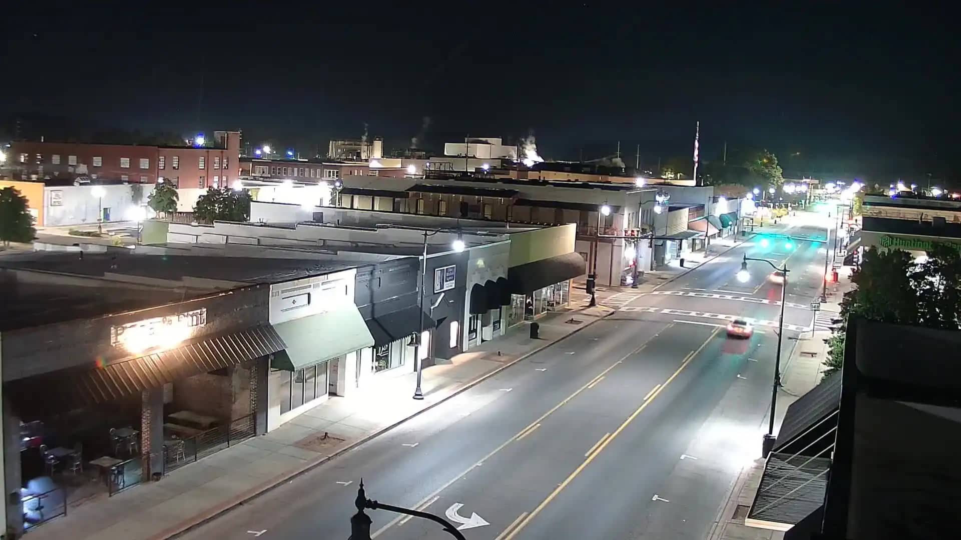
Alabama, United States — 54 km
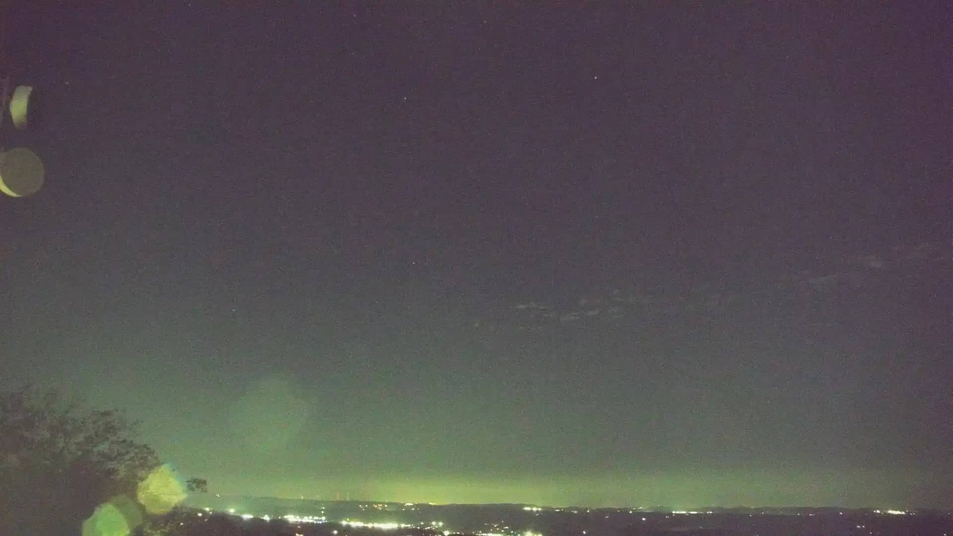
Alabama, United States — 58 km
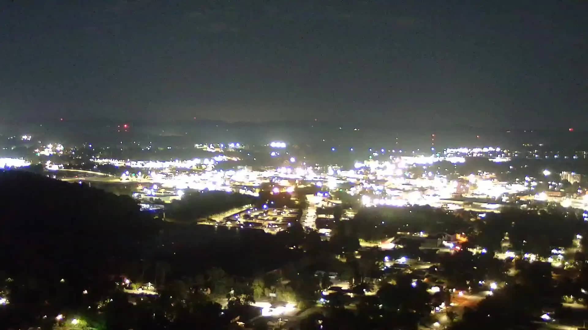
Alabama, United States — 64 km
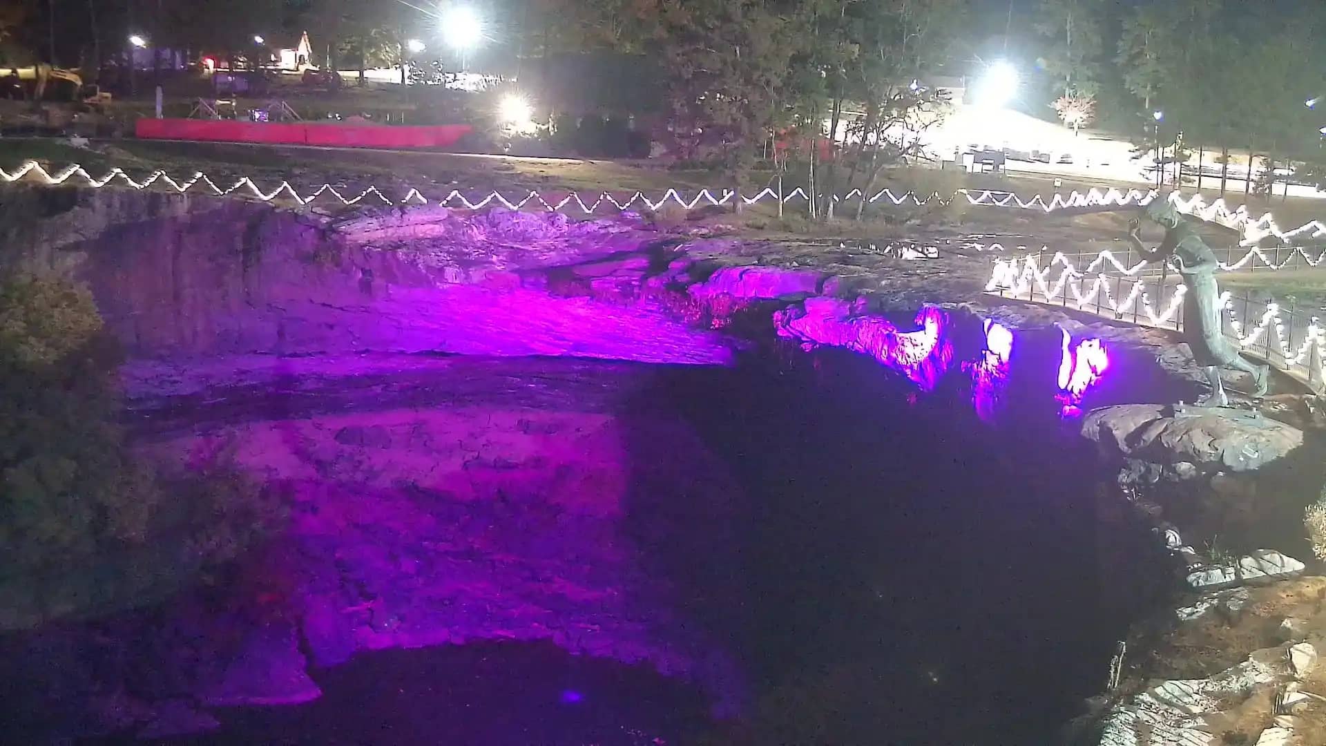
Alabama, United States — 65 km
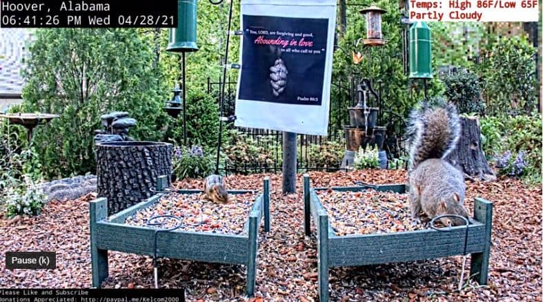
Alabama, United States — 79 km
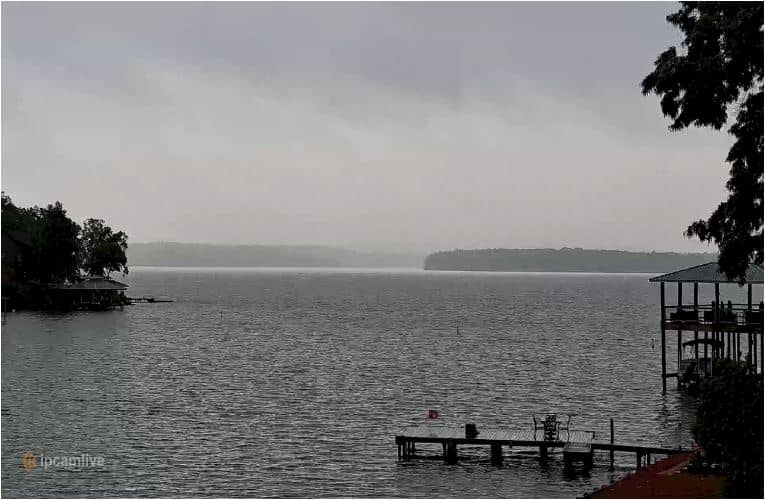
Alabama, United States — 84 km
Alabama, United States — 84 km
Alabama, United States — 88 km
The current conditions and a three-day forecast for the Cheaha area are shown in the live weather block on this page. They update with the page, so check there before you travel.
The local time for Cheaha is displayed on this page in the live time block, using the local time zone of central Alabama.
The camera is located on Cheaha Mountain in east-central Alabama, near the state park. The map on this page shows its position and the nearby cameras.
Clear mornings and autumn days usually give the best visibility over the ridges. Summer afternoons can bring cloud and storms, so check the live feed and weather before expecting a clear view.
Partner links: we may earn a commission at no extra cost to you.