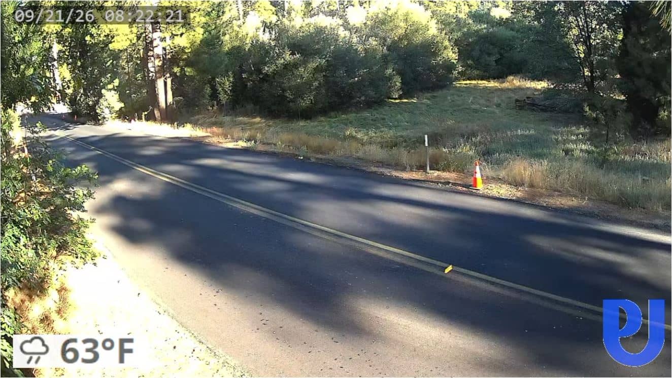
Pine Cove - Dutch Flats
California, United States — 5.6 km

Palm Springs - Saddle Junction Tram Cam
🇺🇸 California · United States — Altitude 2600 m
This live stream follows the Saddle Junction area of the Palm Springs Aerial Tramway, where the cable car route passes a midway station on the steep slope of San Jacinto Mountain. It is a useful window for judging conditions above the desert floor before you plan a ride.
Palm Springs sits in the Coachella Valley at the foot of the San Jacinto Mountains, in the Colorado Desert of southern California. The town is known for mid-century architecture, resort hotels and desert golf. The tramway climbs roughly 2,500 metres in about fifteen minutes, moving from desert scrub through chaparral and pine forest. Because the mountain rises so sharply, the temperature and wind can differ enormously between the valley floor and the upper station.
The title points to the Saddle Junction tram route, so the frame is likely to include the cable car line and the slope around the midway point. The view can change quickly with weather, and cloud or haze can settle on the ridges. Early morning and late afternoon often give the clearest light, while midday summer heat usually brings a hazy sky over the valley. Check the live picture to see whether the upper slopes are visible.
Winters in Palm Springs are mild and sunny, while summers are very hot, often above 38 degrees Celsius. Spring and autumn are generally the most comfortable times to visit. Pack layers if you plan to ride the tram, since the upper station is much cooler. Nearby cameras on VizCams include Pine Cove and Dutch Flats, Idyllwild and Thomas Mountain, which give other mountain perspectives in the region.
Source: pstramway.com
California, United States — 5.6 km
California, United States — 5.6 km
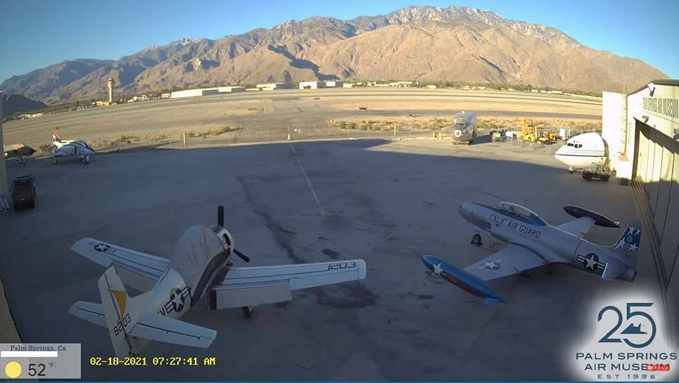
California, United States — 17 km
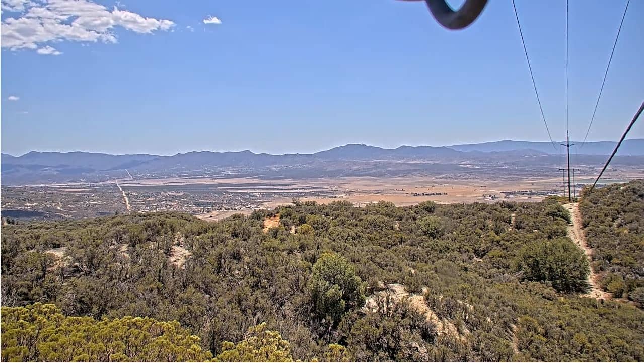
California, United States — 18 km
California, United States — 18 km
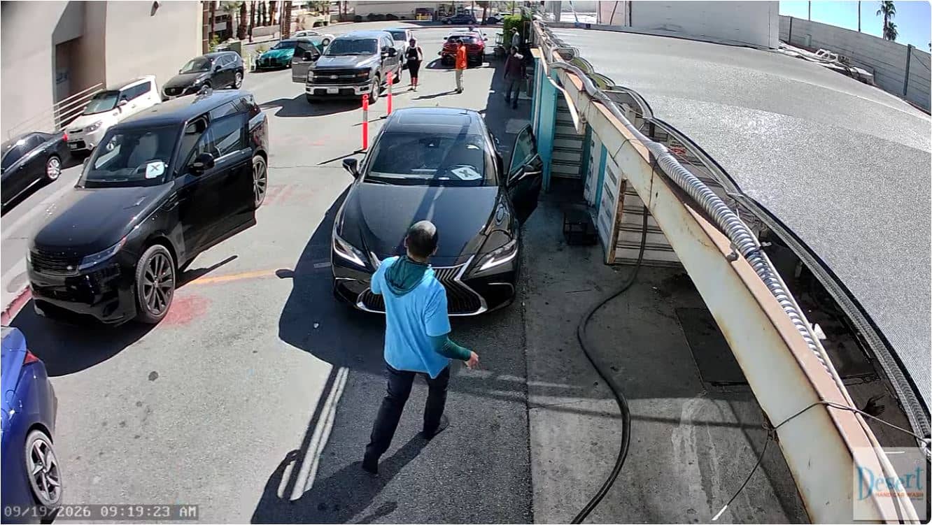
California, United States — 28 km
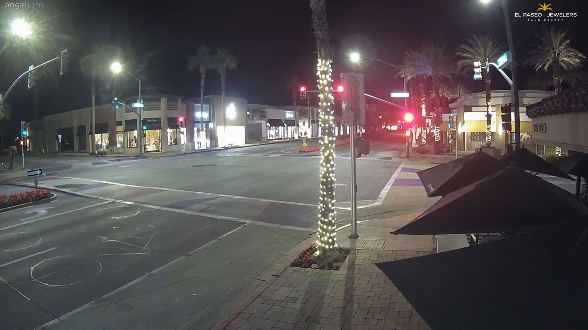
California, United States — 30 km
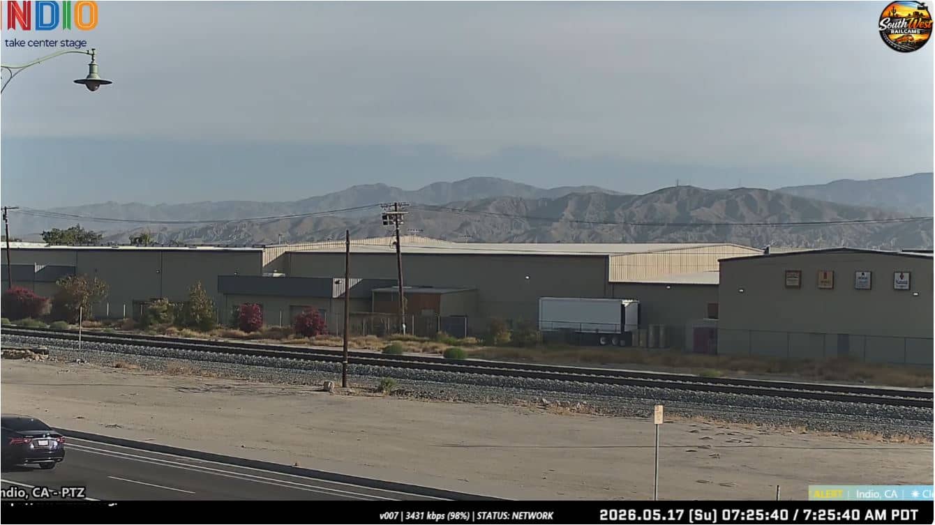
California, United States — 42 km
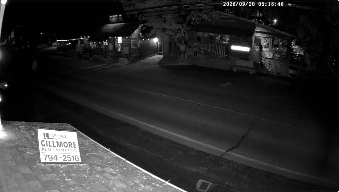
California, United States — 42 km
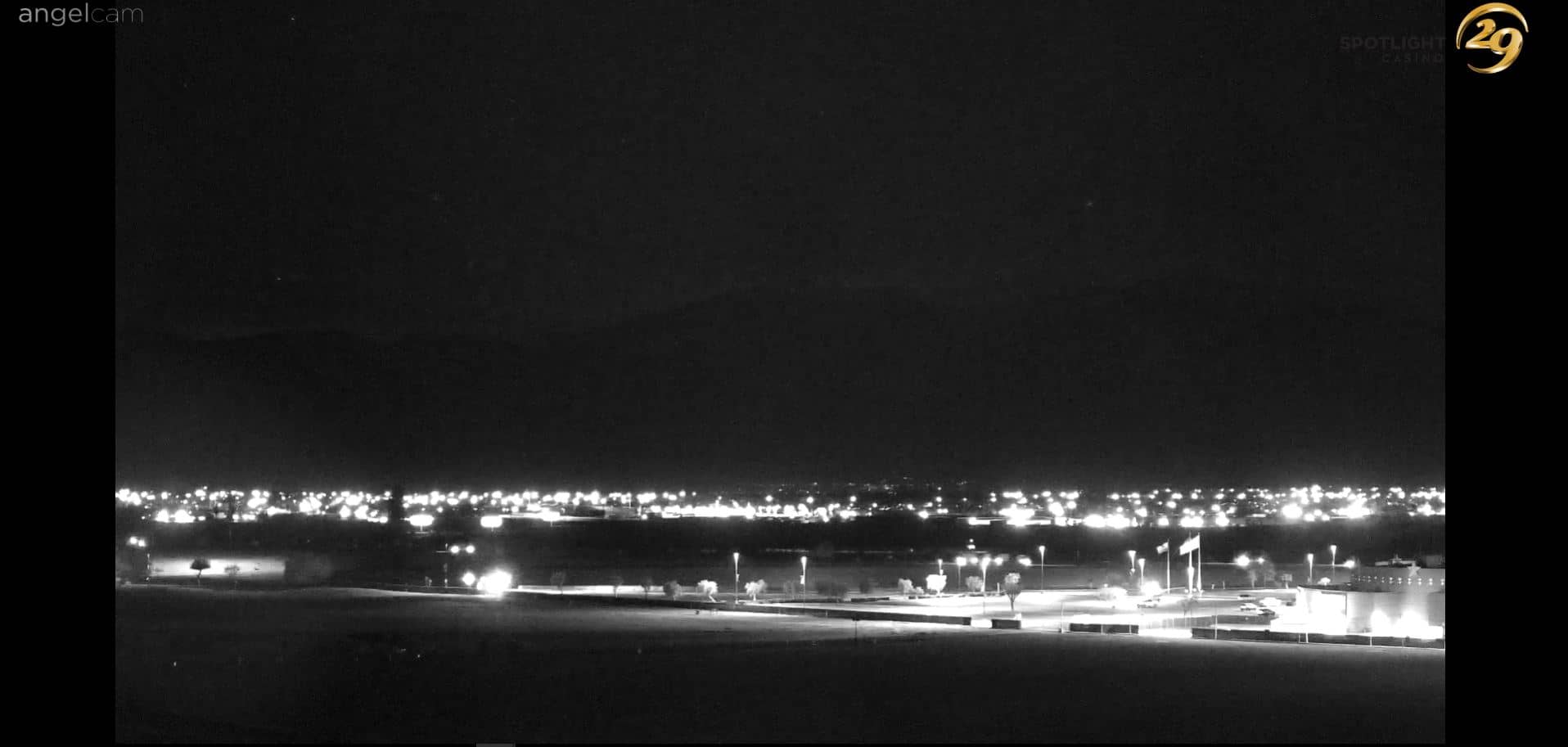
California, United States — 45 km
The current conditions and a three-day forecast are shown in the live weather block on this page. They update together with the camera view, so you can compare the sky above the valley with the forecast.
The local time for Palm Springs is shown on this page and follows Pacific time, including daylight saving changes. Use it to plan when the light on the mountain will be best.
The camera is at the Saddle Junction area of the Palm Springs Aerial Tramway in California, at about 2,600 metres altitude. The map on this page marks its position on the San Jacinto slope.
Early morning and late afternoon usually give the clearest views and softest light. Clear winter and spring days tend to show the mountain best, while summer haze can reduce visibility.
Partner links: we may earn a commission at no extra cost to you.