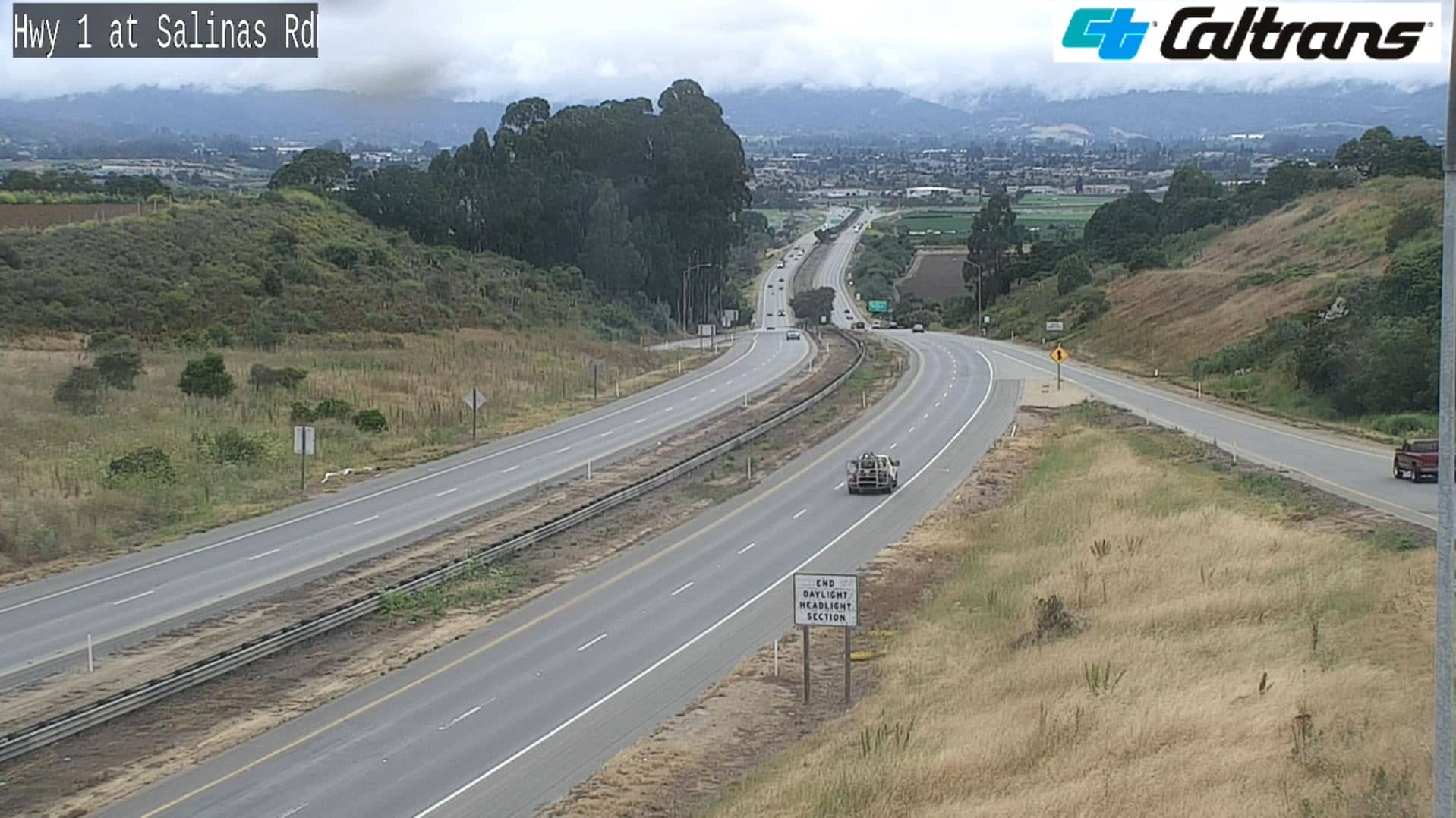
Watsonville
California, United States — 3.1 km
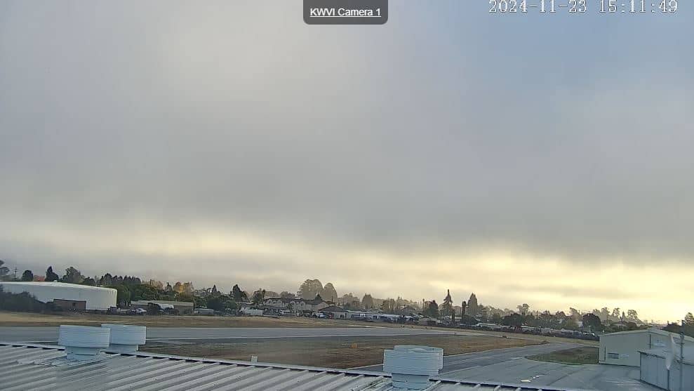
🇺🇸 California · United States — Altitude 43 m
This live camera looks out over Watsonville, a farming town in the Pajaro Valley on California's central coast. The stream is provided by its owner, and this page adds the local time, current weather with a three-day forecast, a map and nearby cameras.
Watsonville sits a few kilometres inland from Monterey Bay, in a flat valley known for strawberries, leafy vegetables and apple orchards. The town is close to Santa Cruz and the Pacific coastline, and the surrounding hills give the valley a quiet, agricultural character that feels quite different from the busier coast.
Because the title names only the town, the view may show streets, farmland or the skyline depending on where the camera is pointed. Mornings often bring low coastal fog that burns off as the day warms, so early hours and late afternoon can look especially clear and atmospheric. Check the weather block on this page before you watch, since cloud and fog change the view a lot.
Watsonville has a mild, Mediterranean-style climate with dry summers and wet winters, and spring and autumn are usually the most comfortable seasons. The town is about 21 km from Santa Cruz and roughly an hour's drive from the Silicon Valley area. Nearby cameras on this page include Santa Cruz and Ano Nuevo Island, which show more of the coast.
Source: Watsonville Webcam
California, United States — 3.1 km
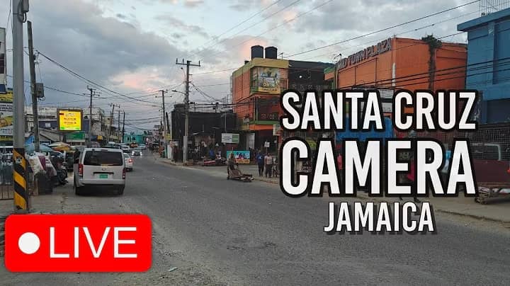
California, United States — 21 km

California, United States — 38 km

California, United States — 50 km
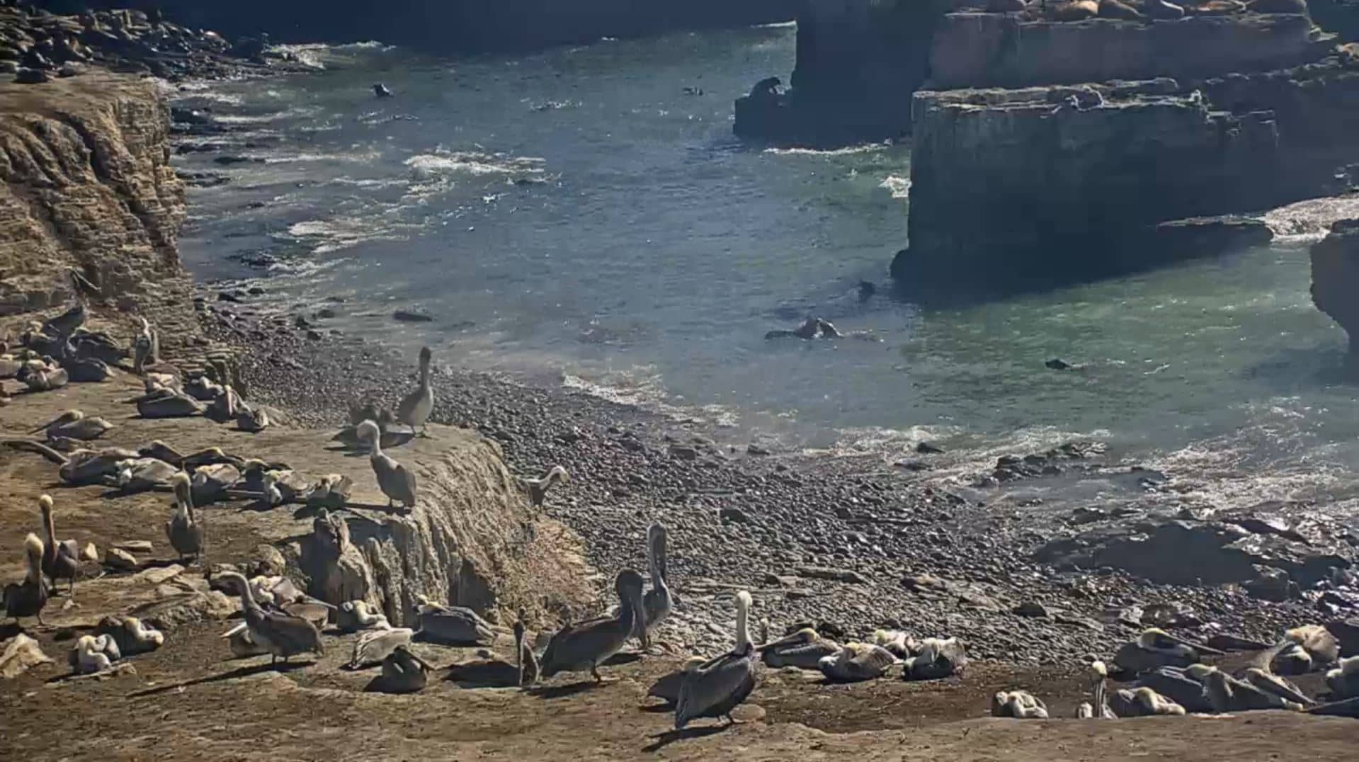
California, United States — 52 km
California, United States — 65 km

California, United States — 74 km
California, United States — 88 km

California, United States — 96 km
California, United States — 99 km
The current conditions and three-day forecast are shown in the live weather block on this page, updated as the data refreshes. Coastal fog is common in the mornings.
The local time is shown on this page and follows the Pacific time zone used across California. The clock updates automatically.
The camera is in Watsonville, California, about 43 metres above sea level, near the Monterey Bay coast. The map on this page shows its position.
Early morning and late afternoon are often the clearest times, when light is warmer and fog tends to lift. Check the weather block first, because cloud can limit the view.
Partner links: we may earn a commission at no extra cost to you.