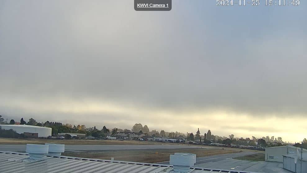
Watsonville
California, United States — 3.1 km
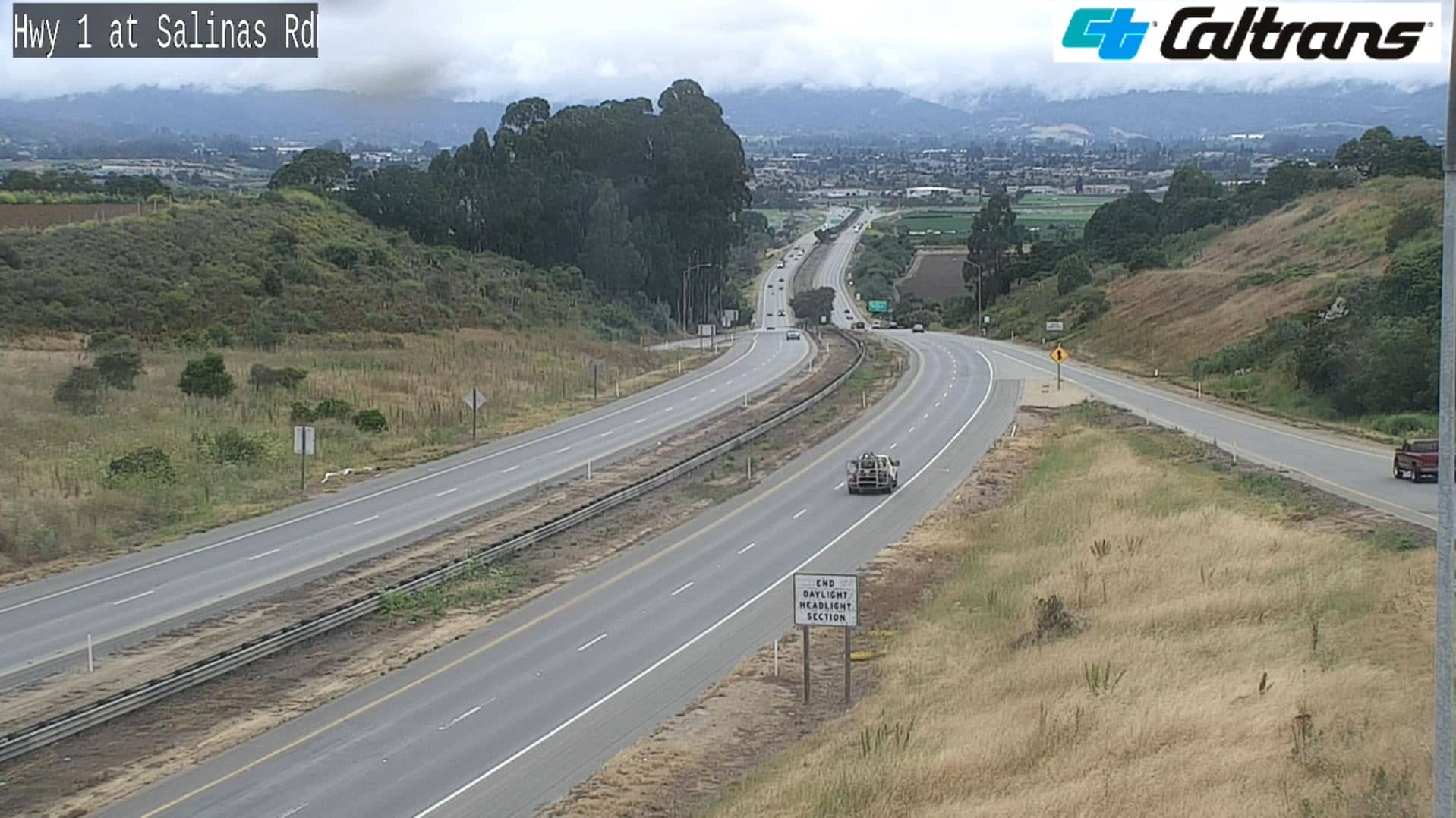
🇺🇸 California · United States — Altitude 119 m
This live stream from Watsonville, a farming town in Santa Cruz County, shows road traffic as it moves through the area. It is useful for checking how busy the roads are before you drive, especially if you are heading toward the coast or the Monterey Bay region.
Watsonville sits in the flat Pajaro Valley, a few miles inland from Monterey Bay on the central coast of California. The town is best known for agriculture, with fields of strawberries, apples and leafy vegetables stretching across the valley. Its historic downtown and Mexican-American heritage give it a character quite different from the tourist towns along the coast nearby.
As a traffic camera, the view focuses on vehicles and road conditions rather than scenery. Commute hours on weekday mornings and late afternoons usually bring the heaviest traffic. Depending on the angle, you may also notice fog rolling in from the ocean during summer mornings, which can reduce visibility on the road.
Watsonville has a mild Mediterranean climate, with cool, damp winters and warm, dry summers. Coastal fog is common, especially in the mornings. The town is close to Highway 1 and Highway 152, which connect to Santa Cruz to the north and toward the Salinas Valley to the south. Nearby cameras in Santa Cruz and at Año Nuevo Island give a wider view of the region.
Source: Watsonville California Webcam
California, United States — 3.1 km

California, United States — 19 km

California, United States — 36 km

California, United States — 48 km
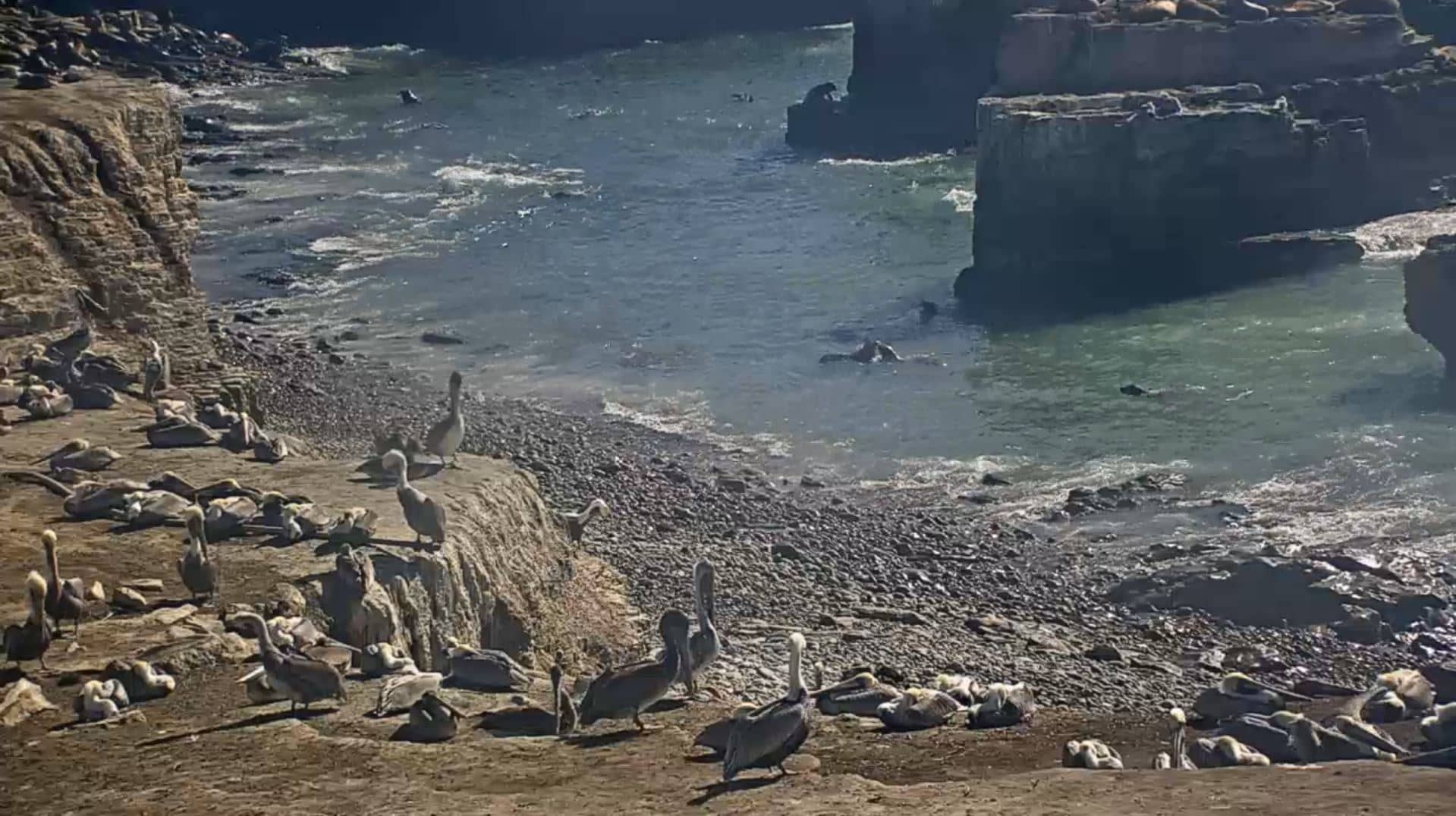
California, United States — 50 km
California, United States — 65 km

California, United States — 72 km
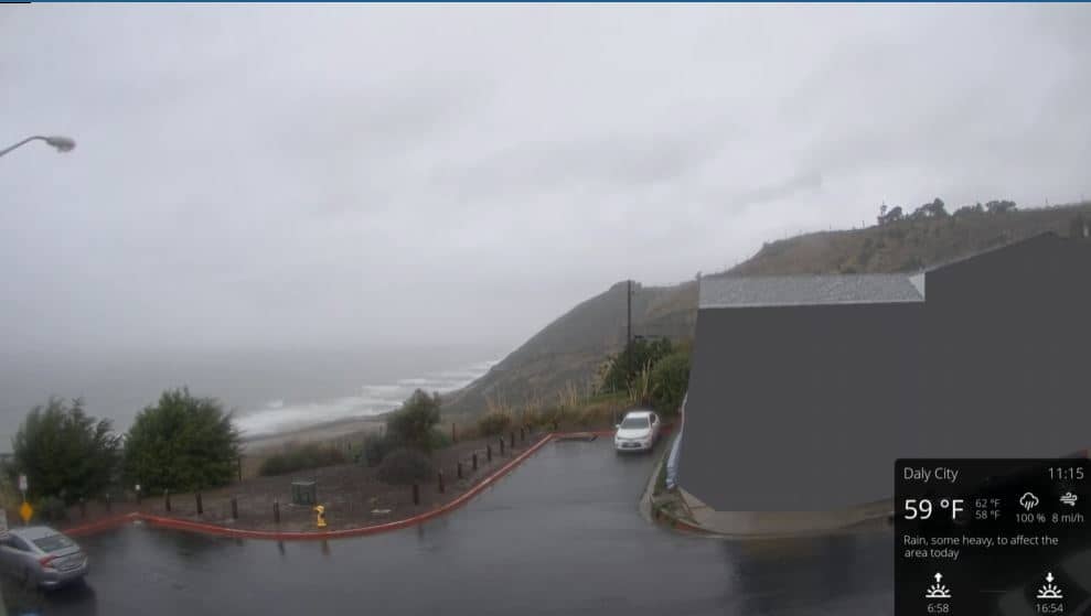
California, United States — 88 km

California, United States — 97 km
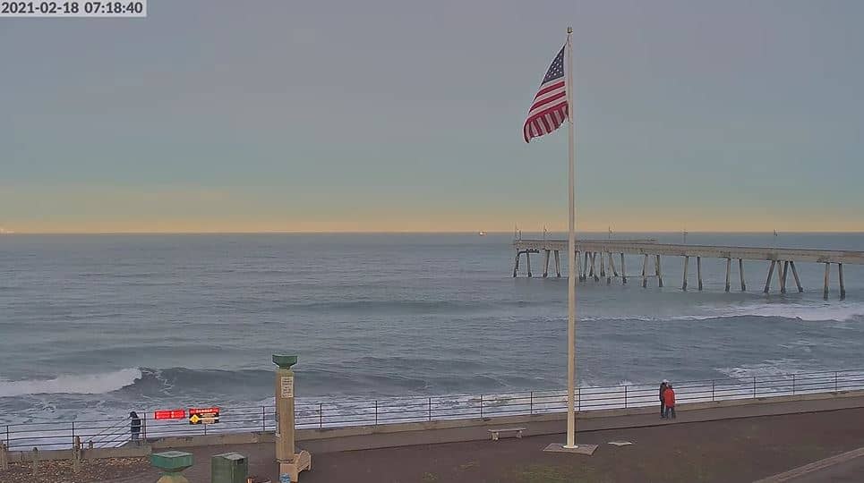
California, United States — 98 km
The current conditions and a three-day forecast for Watsonville are shown in the weather block on this page, updated automatically from the live data.
The local time for Watsonville, on Pacific Time, is displayed at the top of this page and updates continuously.
The camera is located in Watsonville, California, about 120 meters above sea level. The map on this page marks its position in the Pajaro Valley.
Weekday rush hours in the morning and late afternoon show the most traffic. Summer mornings are also worth checking for fog, which affects visibility on the roads.
Partner links: we may earn a commission at no extra cost to you.