
Lake Arrowhead - Resort & Spa
California, United States — 7.2 km
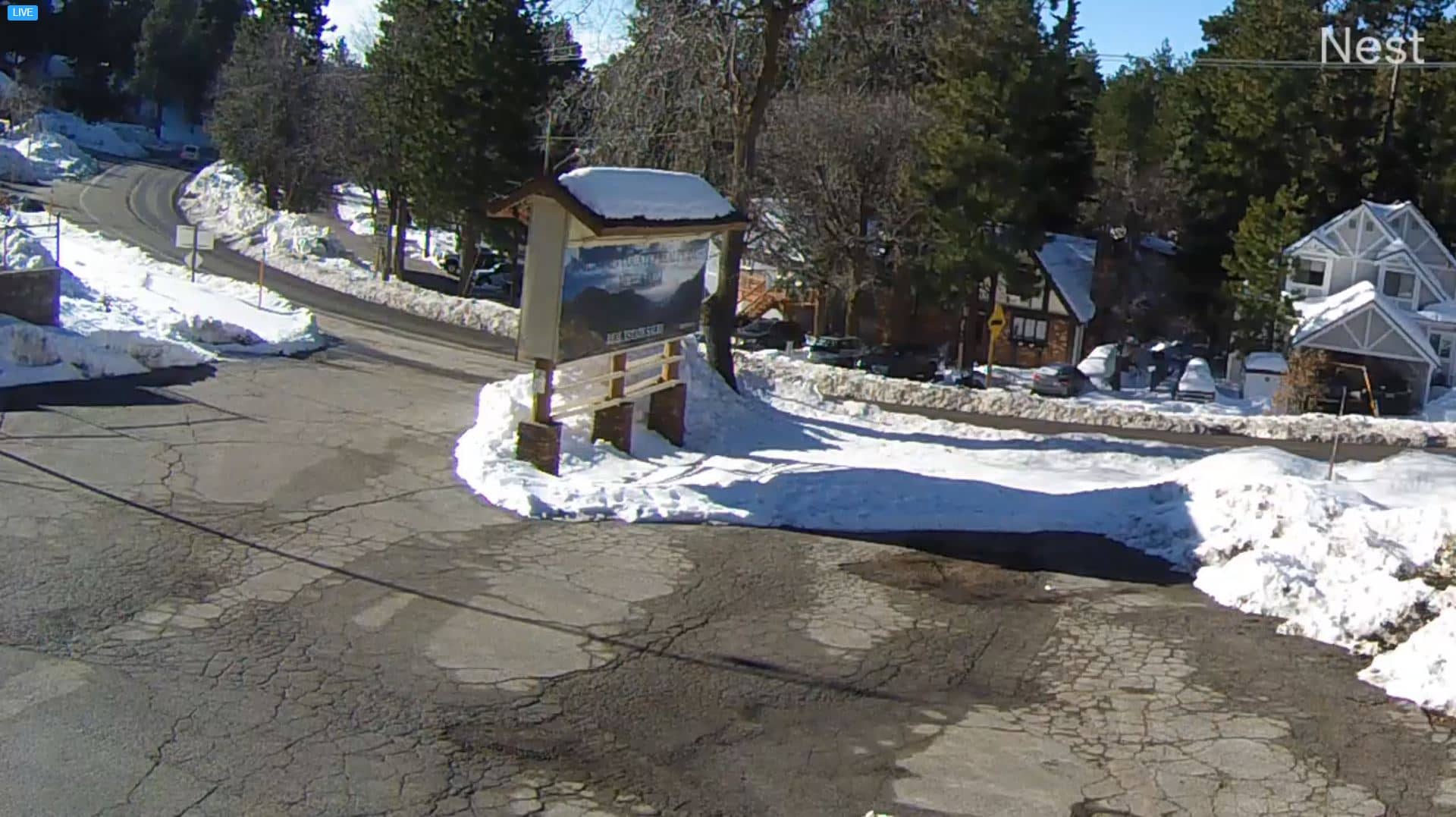
🇺🇸 California · United States — Altitude 1874 m
This live camera looks out over Running Springs, a mountain community in the San Bernardino Mountains of Southern California. Its nature category suggests a view of forest and mountain terrain rather than a town street. Use it to check conditions above the Los Angeles basin before you drive up.
Running Springs sits at roughly 1,870 metres in the San Bernardino Mountains, a short drive above the dry valleys of Southern California. The community grew around its pine forests and the mountain air that draws visitors from the nearby metropolitan area. Its setting is wooded slopes, granite ridges and clear skies on most days, with a cooler and quieter feel than the lowlands below.
Depending on the view, you may see tree cover, the surrounding ridgelines and changing light across the mountainside. Mornings often bring the clearest air, while afternoon clouds can build over the peaks in warmer months. Winter storms can add snow to the slopes, so the camera is most revealing in the hours after a cold front passes. Check the live image against the weather block on this page before planning a trip.
Winters here are cold, with snow possible from late autumn into spring, while summers are mild and dry. The road up from the valleys can be affected by weather, so check conditions before travelling. Other cameras in the region include Lake Arrowhead, about 9 km away, and Big Bear at Goldmine Mountain, roughly 22 km off. Cajon Pass and Victorville offer views further down the mountain corridor.
Source: Running Springs webcam
California, United States — 7.2 km
California, United States — 8.7 km
California, United States — 8.8 km
California, United States — 8.8 km
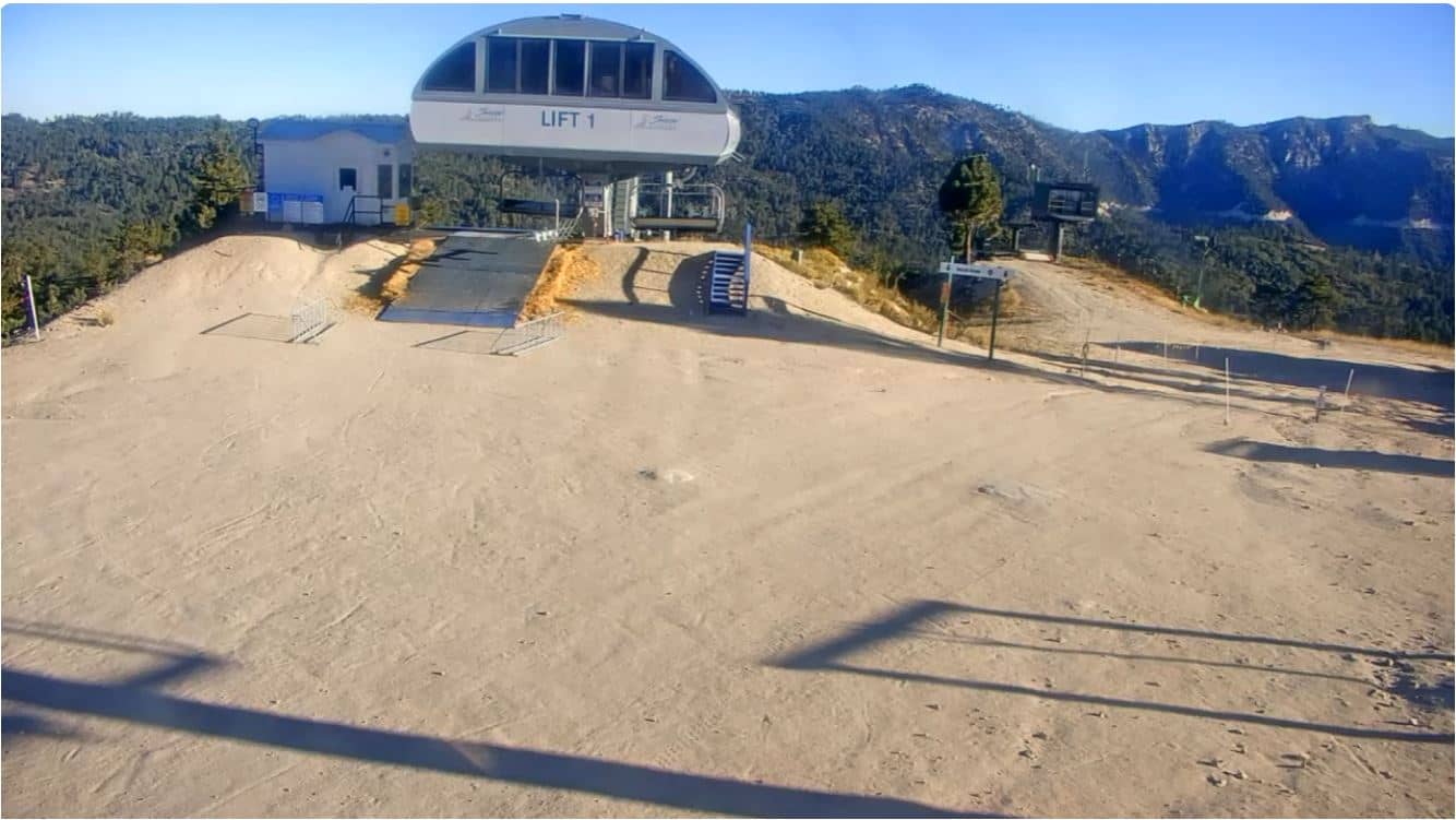
California, United States — 8.8 km
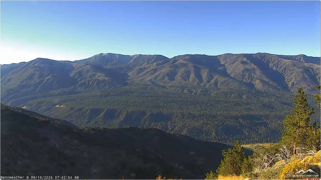
California, United States — 15 km
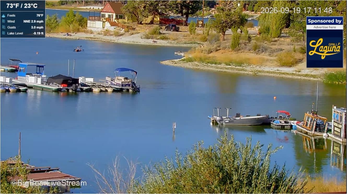
California, United States — 20 km
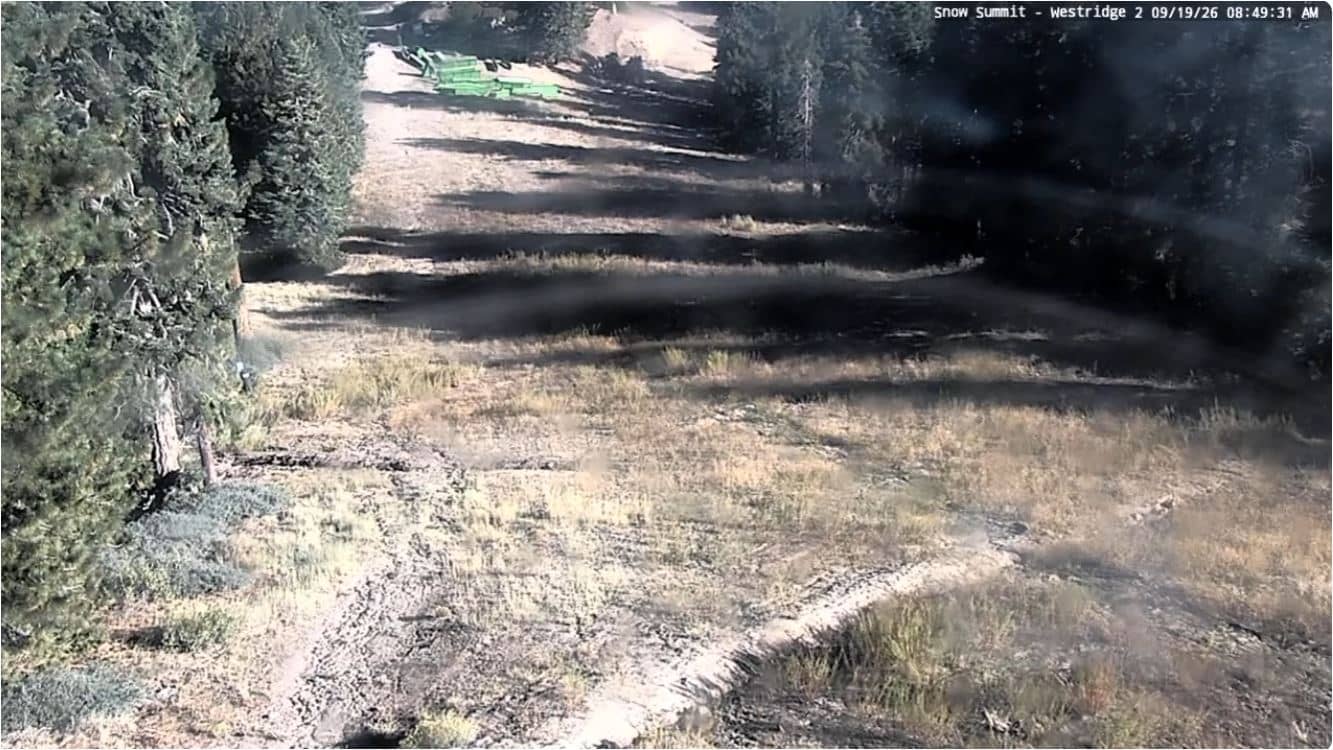
California, United States — 22 km
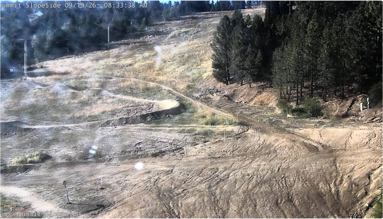
California, United States — 22 km
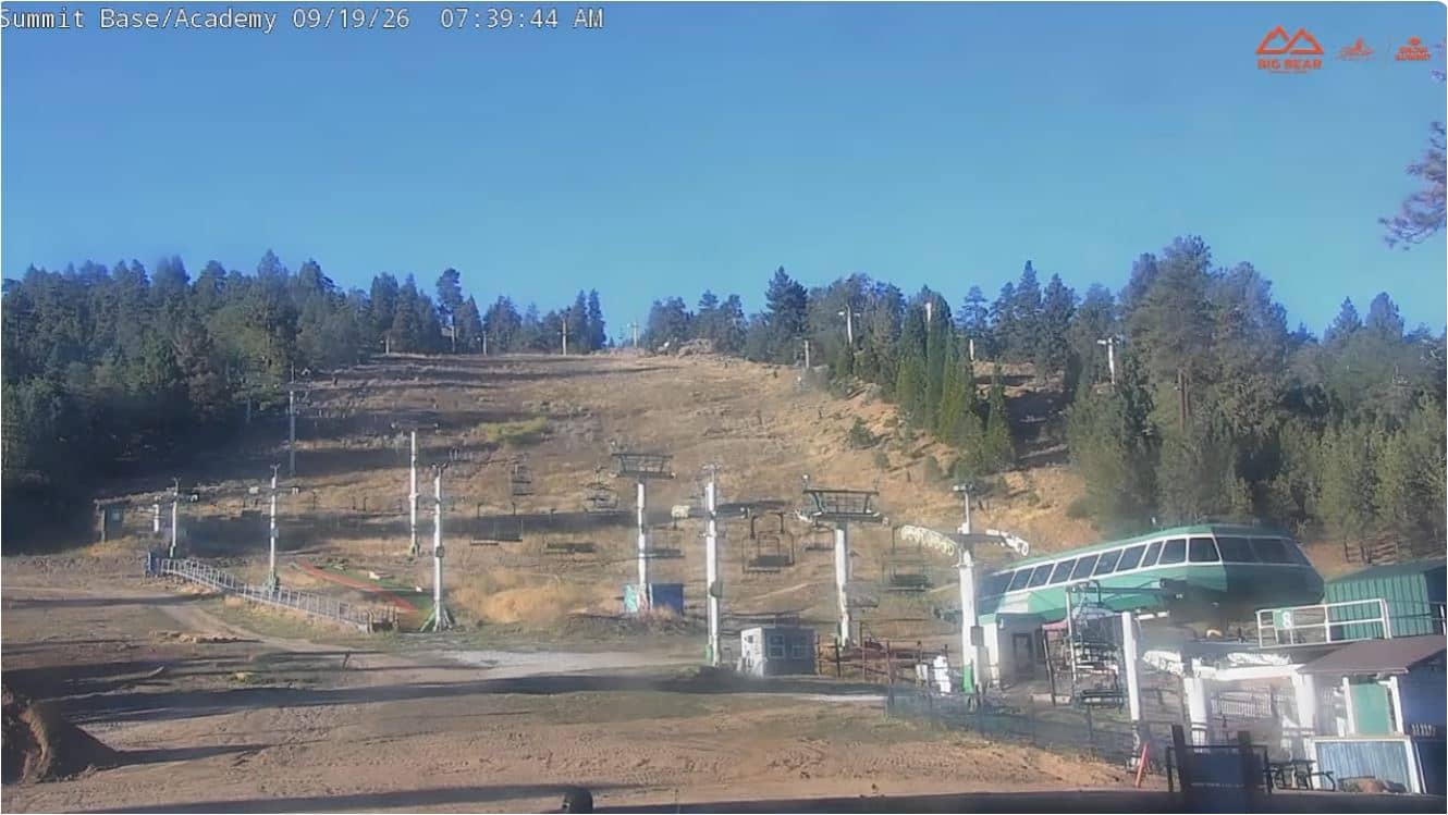
California, United States — 22 km
The current conditions and a three-day forecast are shown in the live weather block on this page. Because the community sits at high altitude, temperatures can differ noticeably from those in the valleys below.
The local time is shown live on this page, following the Pacific time zone used across California. The clock updates automatically so you can see the time there at a glance.
The camera is in Running Springs, California, in the San Bernardino Mountains, at about 1,870 metres above sea level. The map on this page shows its precise position and the surrounding area.
Mornings tend to give the clearest air, and winter days after snowfall can look especially striking. Summer afternoons may bring clouds over the peaks, so the best moment depends on the season and the weather.
Partner links: we may earn a commission at no extra cost to you.