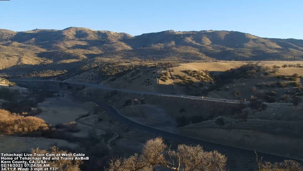
Tehachapi
California, United States — 44 km
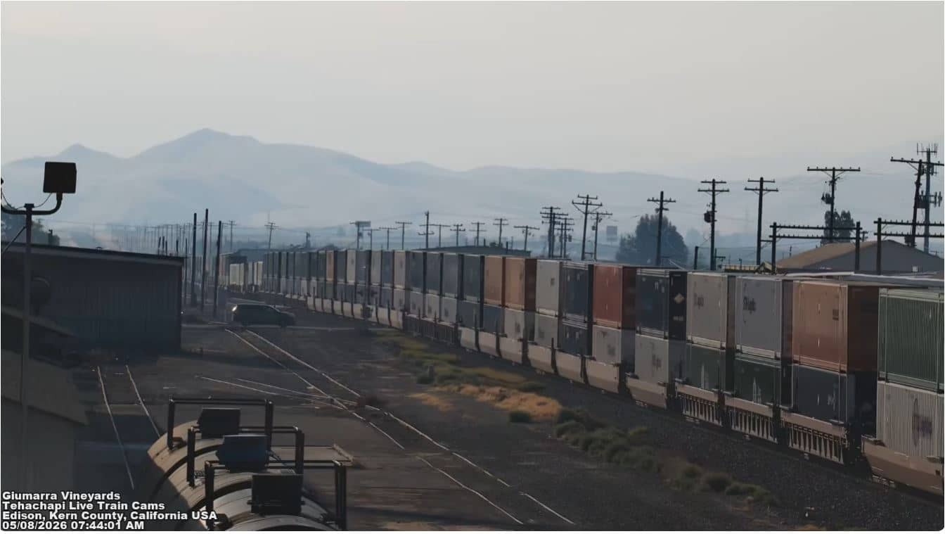
Edison - Giumarra Vineyards
🇺🇸 California · United States — Altitude 175 m
This live stream looks out over the Giumarra Vineyards on the flat farmland near Edison, in the southern San Joaquin Valley of California. It suits anyone curious about how the valley's agriculture looks through the seasons, or who wants a steady view of this hot, dry part of the state.
Edison is a small farming community in Kern County, sitting on the floor of the San Joaquin Valley where the land is almost level and the air is dry for much of the year. The area is known for grapes, citrus, almonds and other irrigated crops, and the Tehachapi Mountains rise to the southeast, marking the transition toward the Mojave Desert. Elevation here is roughly 175 metres above sea level.
The view is centred on vineyard rows, so changes come mainly from the seasons: green canopy in spring and summer, and bare or yellowing vines in late autumn and winter. Hazy mornings and clear, low-sun evenings are common, and the light is often at its most attractive shortly after sunrise or before sunset. Conditions visible on the stream, such as haze or cloud, depend on the day and the weather.
Summers are long, hot and dry, and winters are mild with occasional fog and cool nights. Spring and autumn are generally the most comfortable seasons for a visit. Edison lies a short drive from Bakersfield to the northwest. Other VizCams views in the region include the cameras at Tehachapi, the Depot Railroad Museum in Tehachapi, Mojave and Rosamond, all reachable from this page.
Source: TehachapiLiveTrainCam
California, United States — 44 km
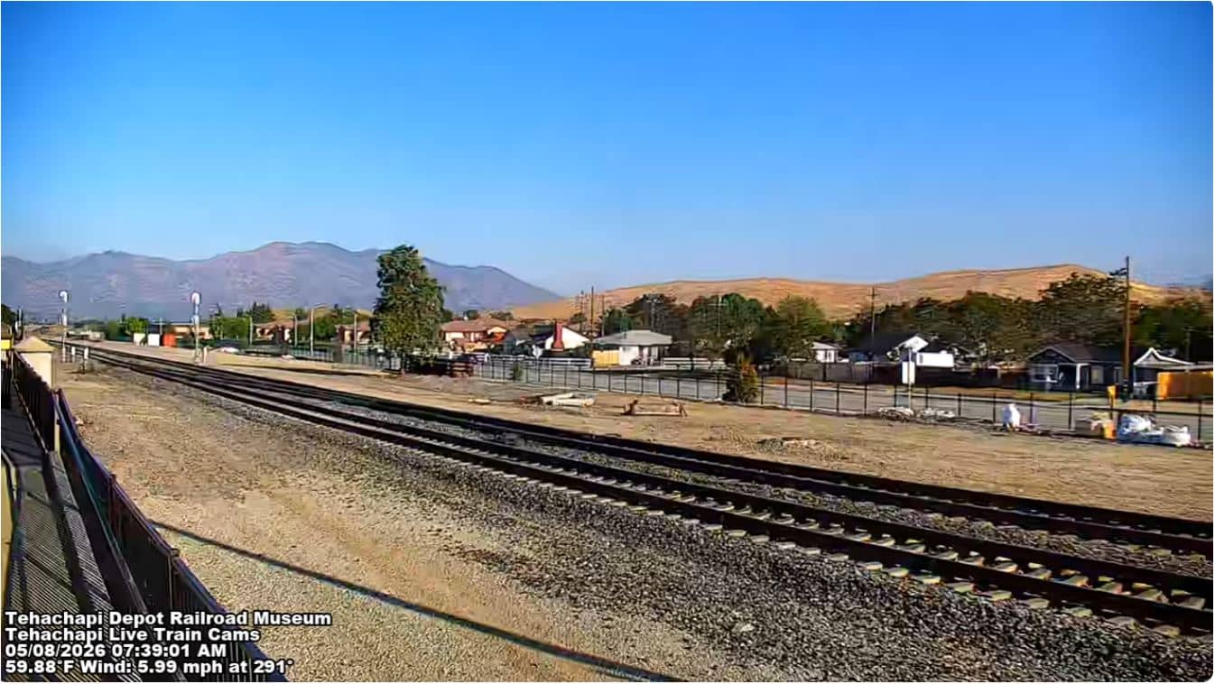
California, United States — 46 km
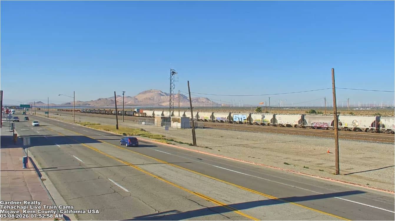
California, United States — 73 km
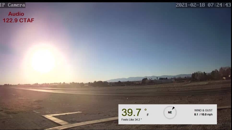
California, United States — 82 km
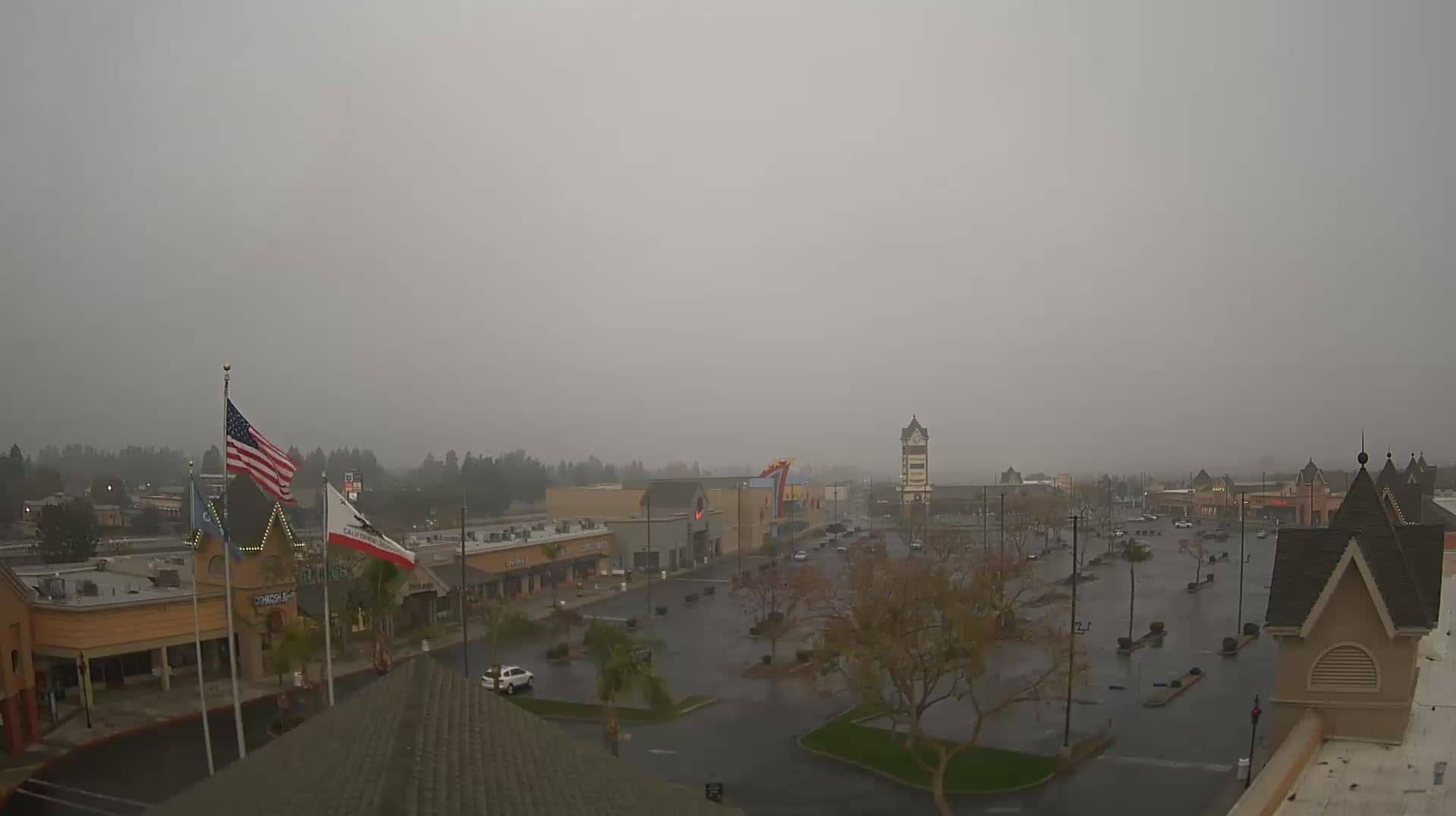
California, United States — 104 km
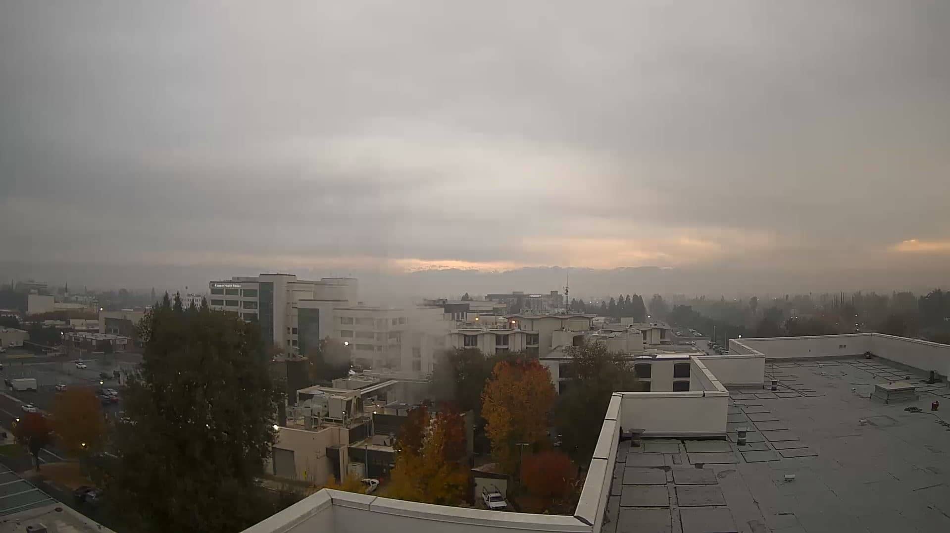
California, United States — 115 km
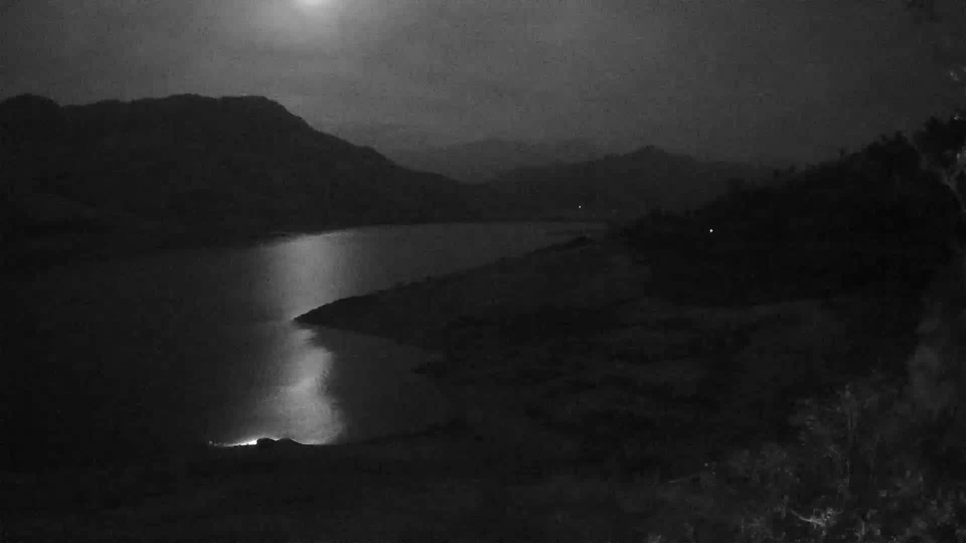
California, United States — 127 km

California, United States — 132 km

California, United States — 135 km
California, United States — 137 km
The current conditions and a three-day forecast for Edison are shown in the live weather block on this page, updated automatically.
The local time for Edison is displayed on this page and follows the Pacific time zone used across California.
The camera looks over the Giumarra Vineyards near Edison in Kern County, southern California. The map on this page shows its position.
Early morning and late afternoon usually give the clearest light on the vines. Spring and summer show the fullest green canopy, while winter shows bare rows.
Partner links: we may earn a commission at no extra cost to you.