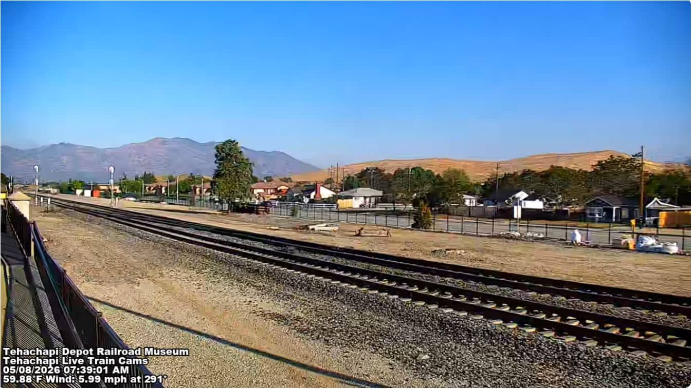
Tehachapi - Depot Railroad Museum
California, United States — 2.4 km
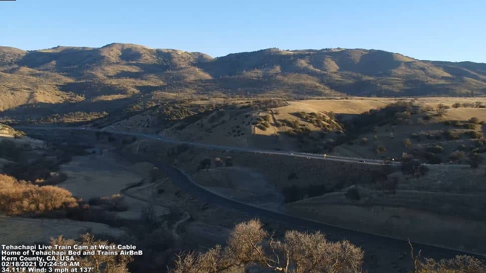
Tehachapi
🇺🇸 California · United States — Altitude 1218 m
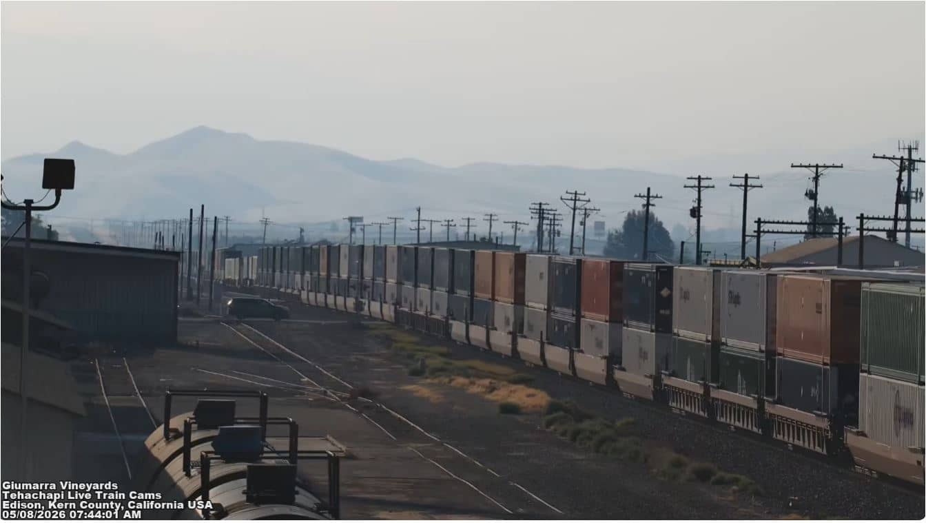
This live camera looks out over Tehachapi, a mountain town in Kern County at about 1,218 metres above sea level. Its title points to the railroad, which has long been central to life here, so many viewers come to watch for passing trains. The page also shows local time and current weather.
Tehachapi sits in the Tehachapi Mountains where the Mojave Desert meets the San Joaquin Valley. The town grew up around the railroad and is widely known for the Tehachapi Loop, a famous spiral route that lets trains climb the steep grade through the hills. The surrounding country is dry, open and wind-swept, with oak woodland and grassland on the slopes and wide skies above.
Because the camera is titled after a live train view, the most rewarding moments are usually when a freight or passenger train is working up the grade, which you may see depending on the angle and traffic. Early morning and late afternoon light tend to bring out the hills. Clear days give the longest views, while wind and dust can reduce visibility in spring and summer.
Tehachapi has hot, dry summers and cool winters, with snow possible at higher elevations and occasionally in town. Spring and autumn are generally the most comfortable seasons to visit. The town is a short drive from Mojave and Rosamond, and nearby cameras on this site show the Depot Railroad Museum, Mojave and Rosamond for comparison.
Check the live weather and the three-day forecast on this page before planning a trip, since mountain conditions change quickly. Local time follows the Pacific time zone used across the region.
Source: Tehachapi Live Train
California, United States — 2.4 km
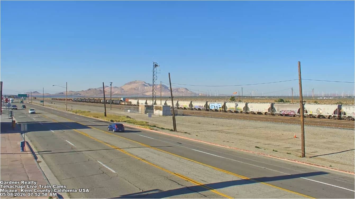
California, United States — 29 km
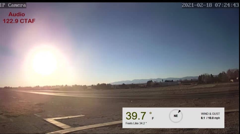
California, United States — 39 km
California, United States — 44 km
California, United States — 111 km
California, United States — 112 km
California, United States — 116 km
California, United States — 120 km

California, United States — 122 km
California, United States — 123 km
Current conditions and the three-day forecast are shown in the live weather block on this page, updated automatically for Tehachapi.
The local time block on this page shows the current time in Tehachapi, which follows Pacific time.
The camera is in Tehachapi, Kern County, California, at about 35.14 degrees north and 118.47 degrees west. The map on this page marks its position.
Daylight hours with clear skies usually give the best view, and train movements are most likely during the day when traffic is heavier on the line.
Partner links: we may earn a commission at no extra cost to you.