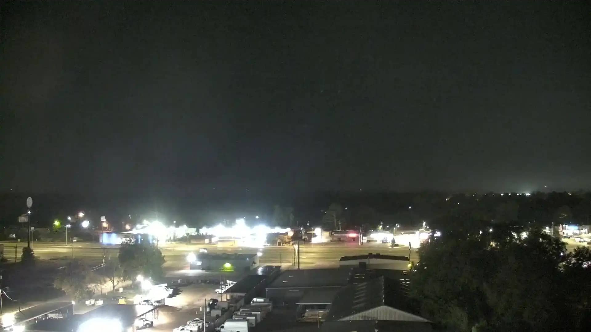
Alexandria - Cenla Broadcasting
Louisiana, United States — 3.5 km
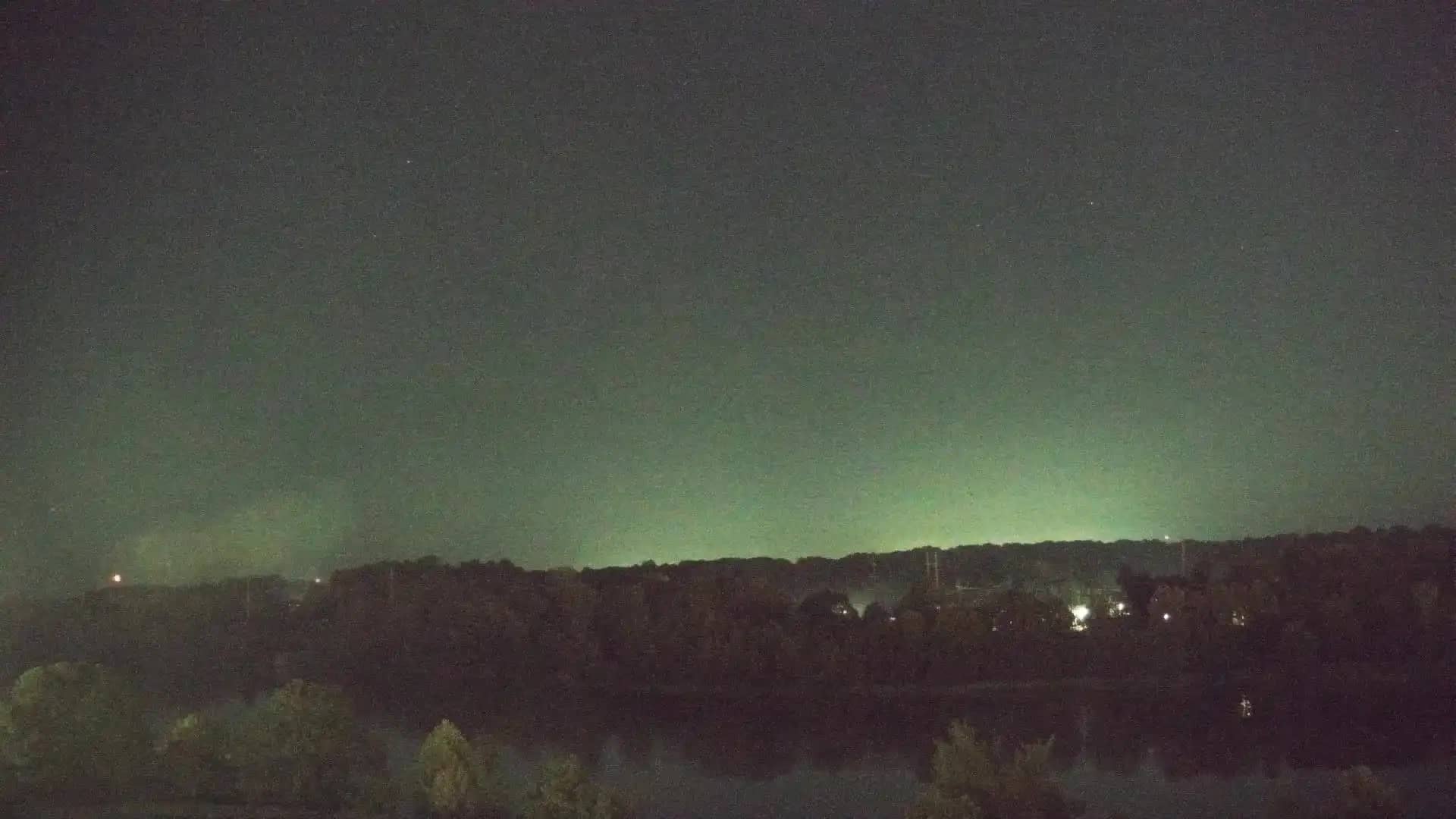
Alexandria - Rapides Medical
🇺🇸 Louisiana · United States — Altitude 28 m
This live camera looks out over the Rapides Medical area in Alexandria, a city in central Louisiana. It is a useful window for anyone wanting to see current conditions in this part of the state before planning a trip or checking on local weather. The stream is provided by its owner and embedded here with a link back to the source.
Alexandria sits on the Red River in the heart of Louisiana, roughly midway between New Orleans and Shreveport. The city is a regional hub for health care, education and commerce, and it serves as the gateway to the Kisatchie National Forest and the wider Cenla region. The land is low and flat, with pine woodland, pasture and river bottomland shaping the surroundings. The atmosphere is that of a small southern city with a strong community character.
Because the camera is tied to a medical district, the view is mostly about everyday urban life: roads, buildings, traffic and the changing sky. Depending on the angle and conditions, you may notice afternoon thunderstorms building over the flat horizon, or morning fog lifting off the river area. Mornings and early evenings tend to offer the most readable light, while midday heat can make the scene look hazy.
Central Louisiana has a humid subtropical climate, with hot, muggy summers and mild winters. Spring and autumn are generally the most comfortable seasons for visiting. Alexandria is easy to reach by road and has an airport with regional connections. Nearby cameras on this site include Cenla Broadcasting in Alexandria, the Kisatchie National Forest nest camera in Rapides Parish, and views in Glenmora and Natchitoches.
Source: hazcams.com
Louisiana, United States — 3.5 km
Louisiana, United States — 39 km
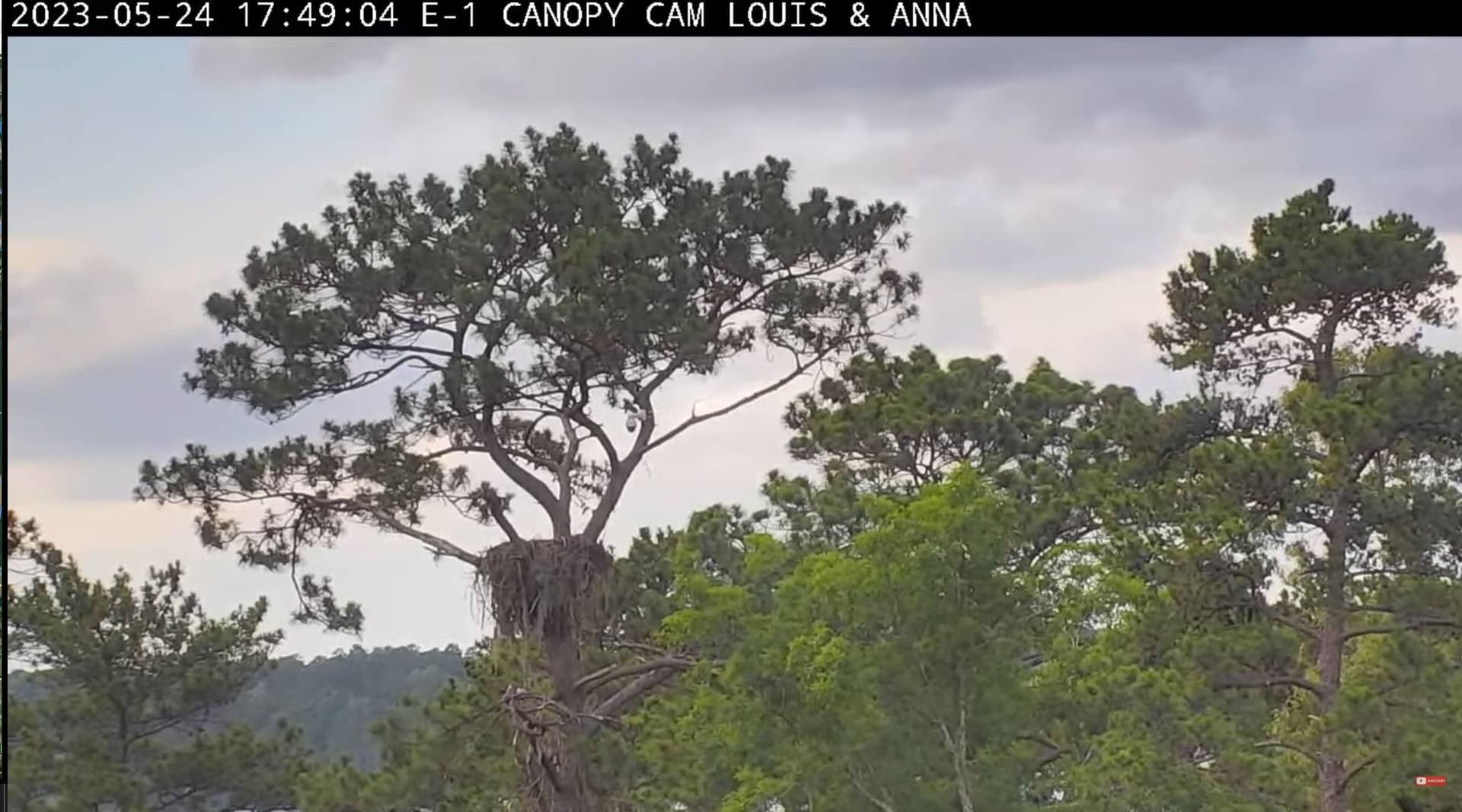
Louisiana, United States — 39 km
Louisiana, United States — 78 km
Louisiana, United States — 79 km
Texas, United States — 79 km
Mississippi, United States — 103 km
Louisiana, United States — 121 km
Louisiana, United States — 134 km
Louisiana, United States — 136 km
The current conditions and the 3-day forecast for Alexandria are shown in the live weather block on this page. The values update automatically, so you can check them alongside the camera view.
The local time for Alexandria is displayed on this page and follows the Central time zone used across central Louisiana. The clock is updated live next to the camera player.
The camera is in Alexandria, the parish seat of Rapides Parish in central Louisiana. The map on this page marks its position, and the location is also shown in the camera details.
Early mornings and late afternoons usually give the clearest light and the most visible activity. Thunderstorm season in summer can also make for dramatic skies if the weather turns.
Partner links: we may earn a commission at no extra cost to you.