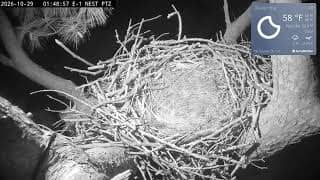
Rapides Parish - Kisatchie National Forest E-1 Nest
Louisiana, United States — 69 km
🇺🇸 Louisiana · United States — Altitude 12 m
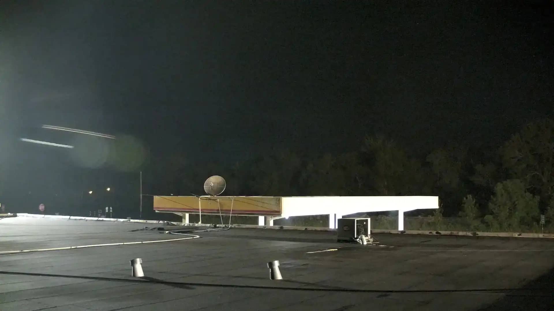
This live camera looks out over Lebeau, a small community in St. Landry Parish in south-central Louisiana. The stream is embedded from its source, so you can check the view as it is now. The page also gives local time and weather so you can judge conditions before you watch.
Lebeau sits in the flat, low-lying country of the Atchafalaya Basin region, where bayous, marshes and farmland meet. Louisiana's landscape here is shaped by slow rivers and a warm, humid climate. The village is small and rural, so life follows the rhythm of the surrounding farms, forests and waterways rather than the pace of a large city.
The title names only the village, so this page does not promise any particular landmark in frame. Depending on the view, you may see open sky, trees, roads or water. Views like this are often most interesting in early morning, when mist can lie over low ground, and after storms, when clouds build quickly over the Gulf-facing plains.
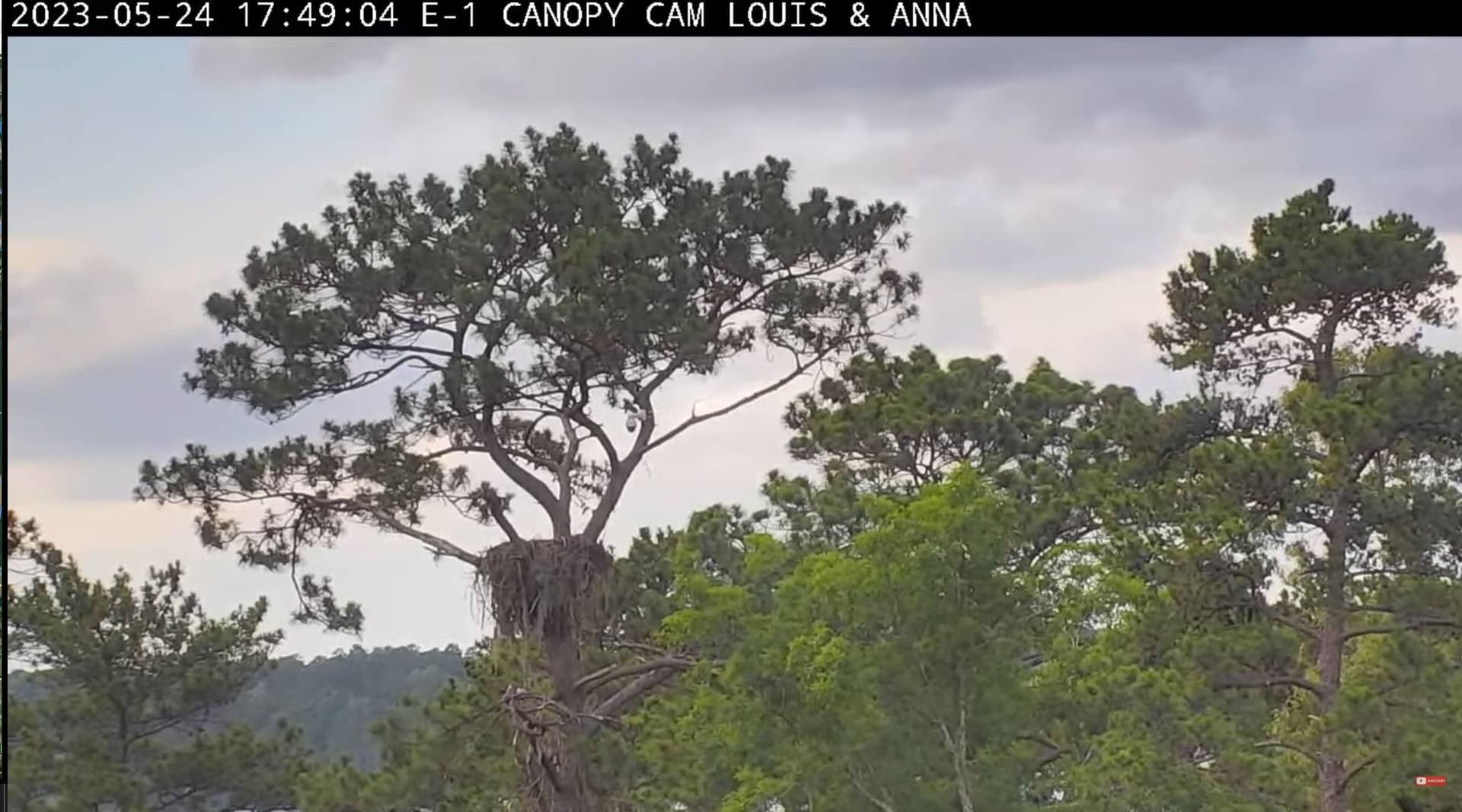
Summers are hot and humid, with frequent afternoon thunderstorms, while spring and autumn are usually the most comfortable seasons. Check the forecast on this page before planning any trip. Nearby cameras on VizCams include Glenmora, Alexandria and the Kisatchie National Forest nest camera, all within roughly 80 km.
Source: hazcams.com
Louisiana, United States — 69 km
Louisiana, United States — 69 km
Louisiana, United States — 78 km
Louisiana, United States — 79 km
Mississippi, United States — 107 km
Mississippi, United States — 153 km
Louisiana, United States — 155 km
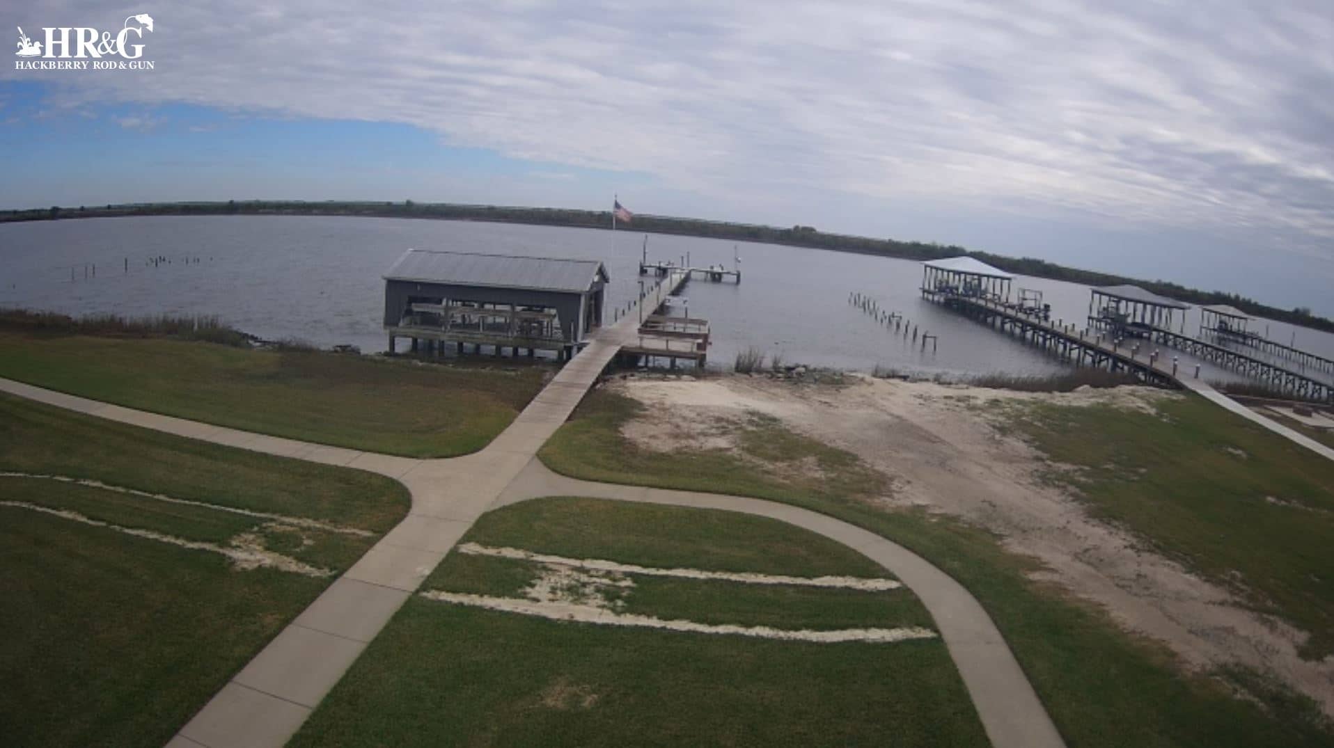
Louisiana, United States — 156 km
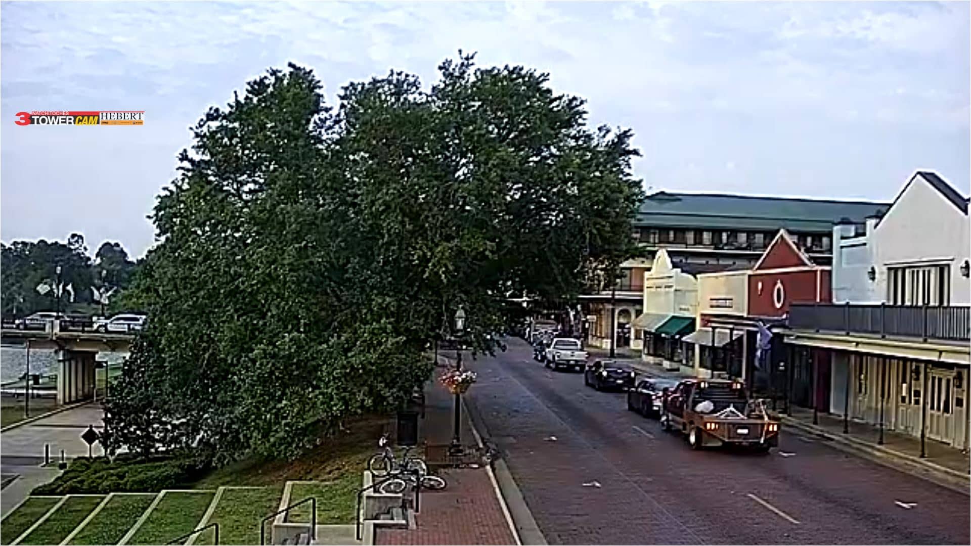
Texas, United States — 157 km
Louisiana, United States — 175 km
Current conditions and a three-day forecast for Lebeau are shown in the live weather block on this page, updated as the data refreshes.
The local time for Lebeau is displayed on this page. It follows the Central time zone used across this part of Louisiana.
The camera is in Lebeau, Louisiana, in the south-central part of the state. The map on this page shows its position and the surrounding area.
Early morning and the hours after a passing storm are often the most interesting, since light and cloud conditions change quickly over flat, open land.
Partner links: we may earn a commission at no extra cost to you.