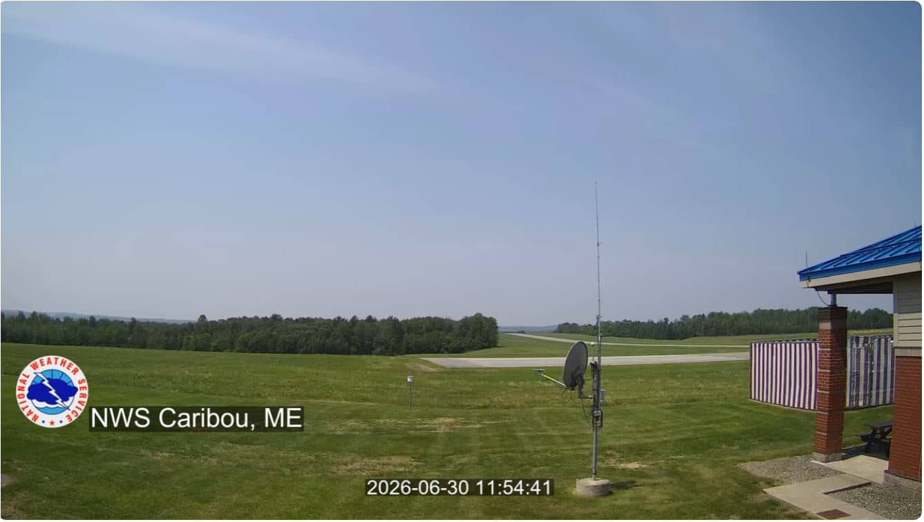
Caribou - Aéroport
Maine, United States — 61 km
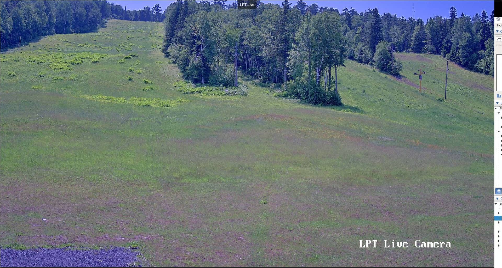
Fort Kent - Lonesome Pine Trails
🇺🇸 Maine · United States — Altitude 172 m
This live stream looks toward the Lonesome Pine Trails area in Fort Kent, a town at the northern edge of Maine near the Canadian border. It suits anyone curious about the quiet northern woods, seasonal change in the St. John Valley, or simply what conditions look like in this remote corner of New England right now.
Fort Kent sits in the St. John Valley, where the river forms part of the border between Maine and New Brunswick. The area is known for its French-speaking heritage, farmland and long forest roads. Historic Fort Kent was built during the Aroostook War era and the town remains a hub for the surrounding rural communities. The landscape is open fields, spruce and pine forest, and wide skies that change quickly with the weather.
The camera is titled after the Lonesome Pine Trails, a network of woodland paths used for hiking, snowshoeing and cross-country skiing. Depending on the view, you may see trail edges, forest cover or open ground. The scene changes most with the seasons: autumn colours in September and October, deep snow from winter into spring, and green growth in summer. Early mornings and low winter sun often bring the most contrast.
Summers are mild and comfortable, while winters are long and very cold, with heavy snowfall common from December through March. Late summer and early autumn are the most popular times for outdoor visits. Fort Kent is a long drive from larger Maine cities, so plan fuel and supplies ahead. Other cameras in the region, including Caribou and Houlton, can help you judge conditions across the wider area.
Source: lonesomepines.org
Maine, United States — 61 km
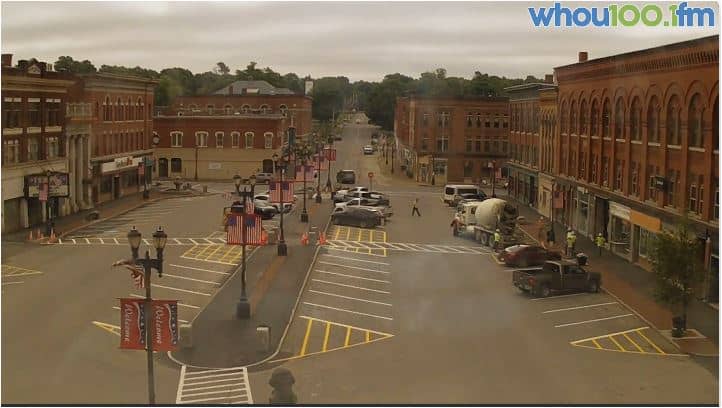
Maine, United States — 137 km
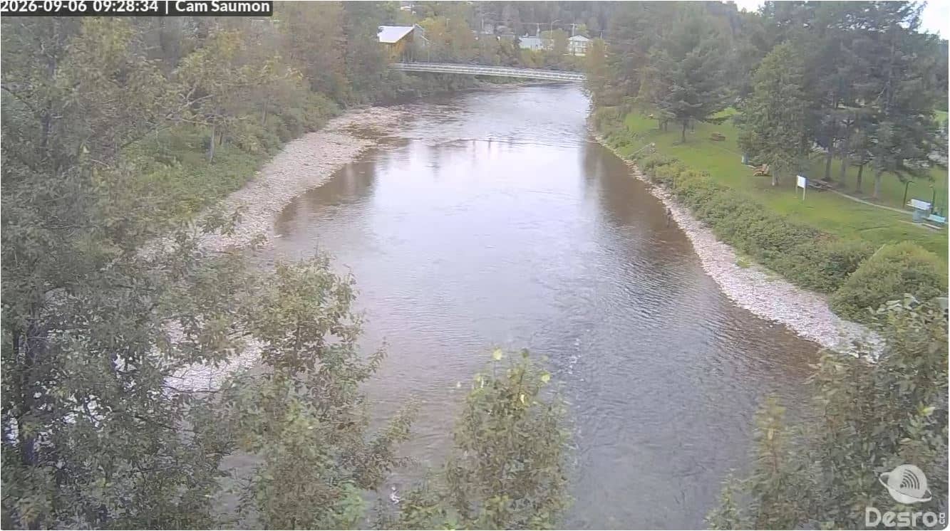
Quebec, Canada — 160 km
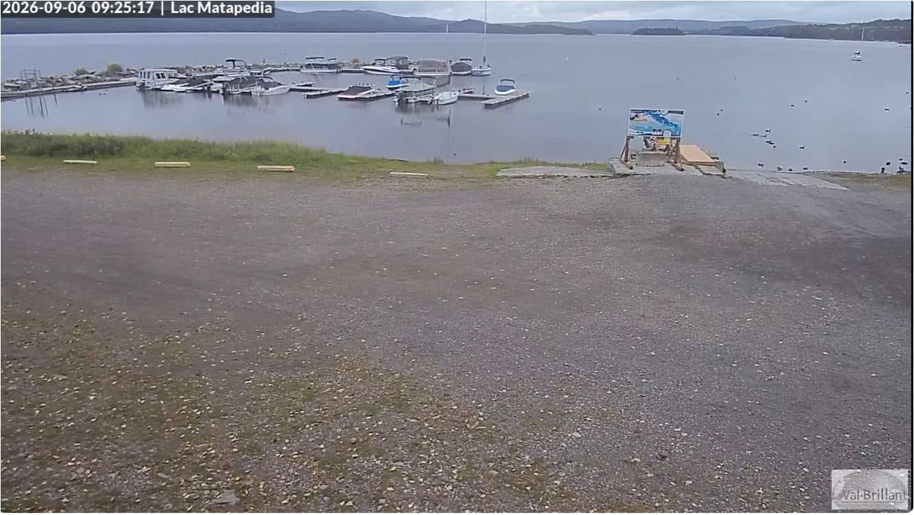
Quebec, Canada — 163 km
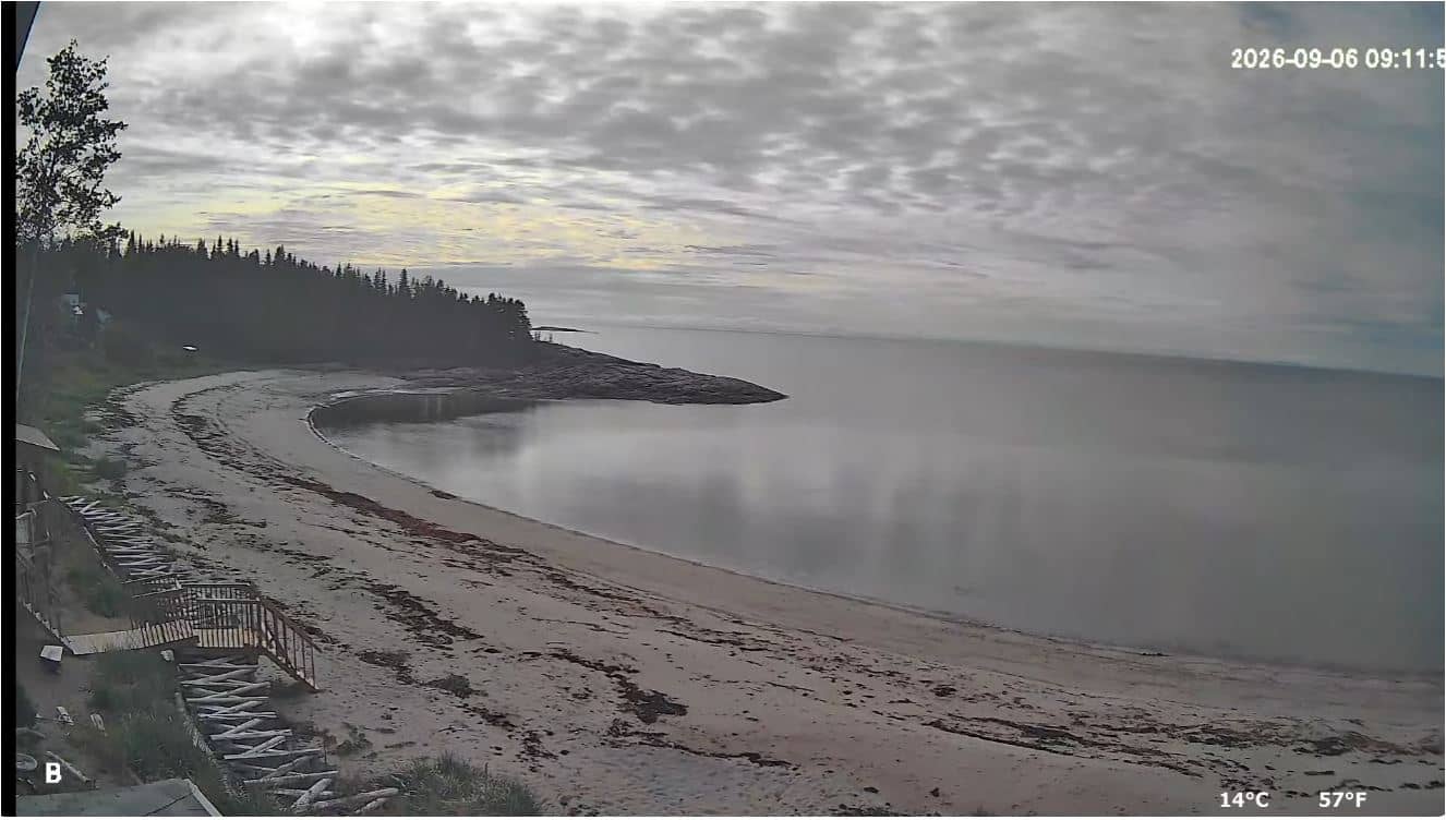
Quebec, Canada — 177 km

Maine, United States — 184 km
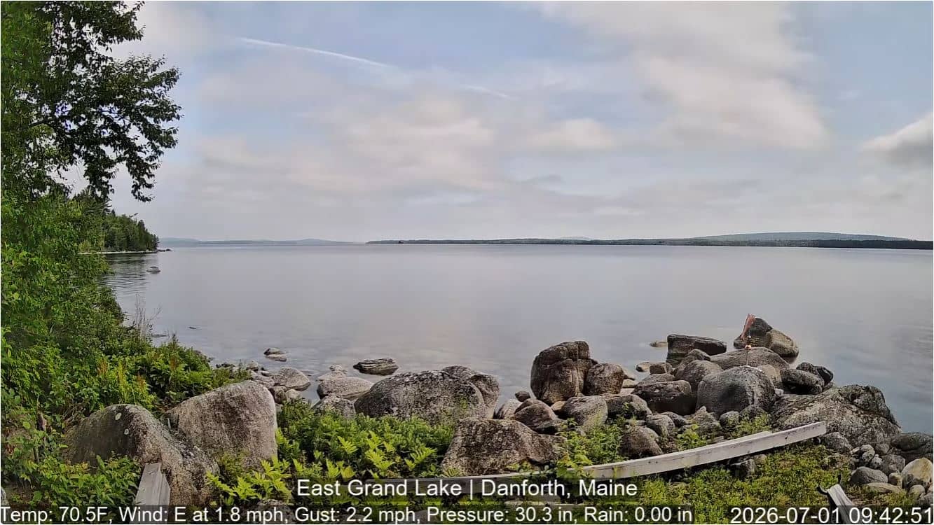
Maine, United States — 185 km

Maine, United States — 196 km

Maine, United States — 196 km
Quebec, Canada — 202 km
The current conditions and a three-day forecast for Fort Kent are shown in the weather block on this page. They update automatically so you can check before heading out.
The local time for Fort Kent, which follows Eastern Time, is displayed on this page and updates live alongside the camera.
The camera is located near Fort Kent at about 47.25 degrees north and 68.59 degrees west, in the St. John Valley of northern Maine. The map on this page shows its position.
Autumn foliage in September and October and the snowy months from December to March tend to show the clearest seasonal change. Clear mornings are often the most rewarding to watch.
Partner links: we may earn a commission at no extra cost to you.