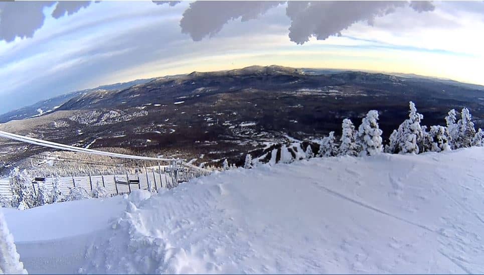
Sugarloaf Ski Resort
Maine, United States — 8.1 km
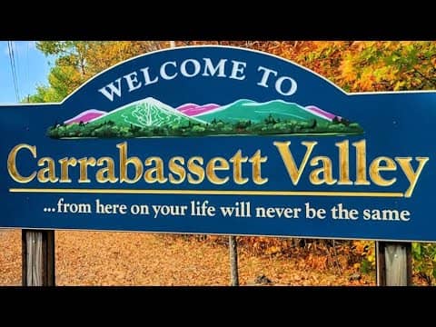
Carrabassett Valley - Regional Airport
🇺🇸 Maine · United States — Altitude 271 m
This live stream looks over the regional airport in Carrabassett Valley, a small town in the western mountains of Maine. It is useful for anyone checking mountain weather, snow cover or visibility before heading to the Sugarloaf area, which sits a short drive away.
Carrabassett Valley lies in the Carrabassett River valley of western Maine, at roughly 270 metres above sea level. The region is known for its forested hills, lakes and outdoor recreation, and it is the gateway to Sugarloaf, one of the larger ski areas in the eastern United States. The landscape is quiet and rural, with a strong seasonal character.
Depending on the view, the camera may show runways, hangars, the apron and the surrounding trees and hills. Winter is usually the most interesting season, when snow cover and low cloud change the scene quickly. Clear mornings in autumn can also reveal the colours of the surrounding forest. Check the local time and weather on this page before you watch, since conditions can shift within an hour.
The area has cold, snowy winters and mild, humid summers, with the best hiking and paddling in late summer and early autumn. Nearby cameras cover Sugarloaf Ski Resort, the Bullwinkle's area in Carrabassett Valley and the Stratton route through Flagstaff, all within about 20 kilometres. Plan driving time carefully in winter, as mountain roads can be slippery.
Source: Boston and Maine Live
Maine, United States — 8.1 km
Maine, United States — 9.9 km
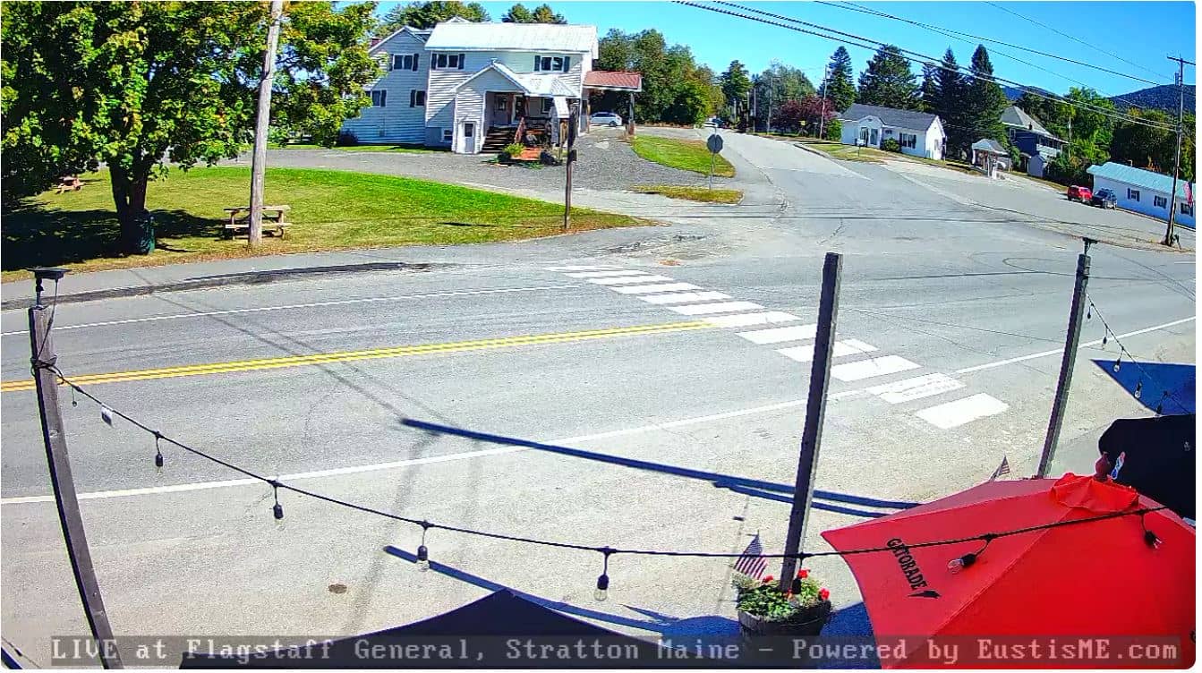
Maine, United States — 18 km

Maine, United States — 18 km
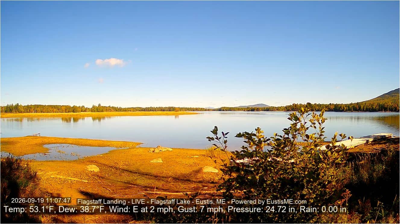
Maine, United States — 21 km
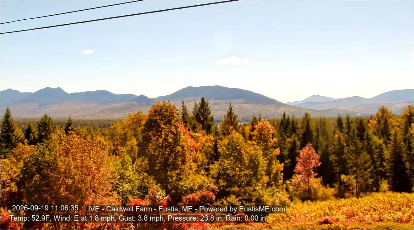
Maine, United States — 21 km
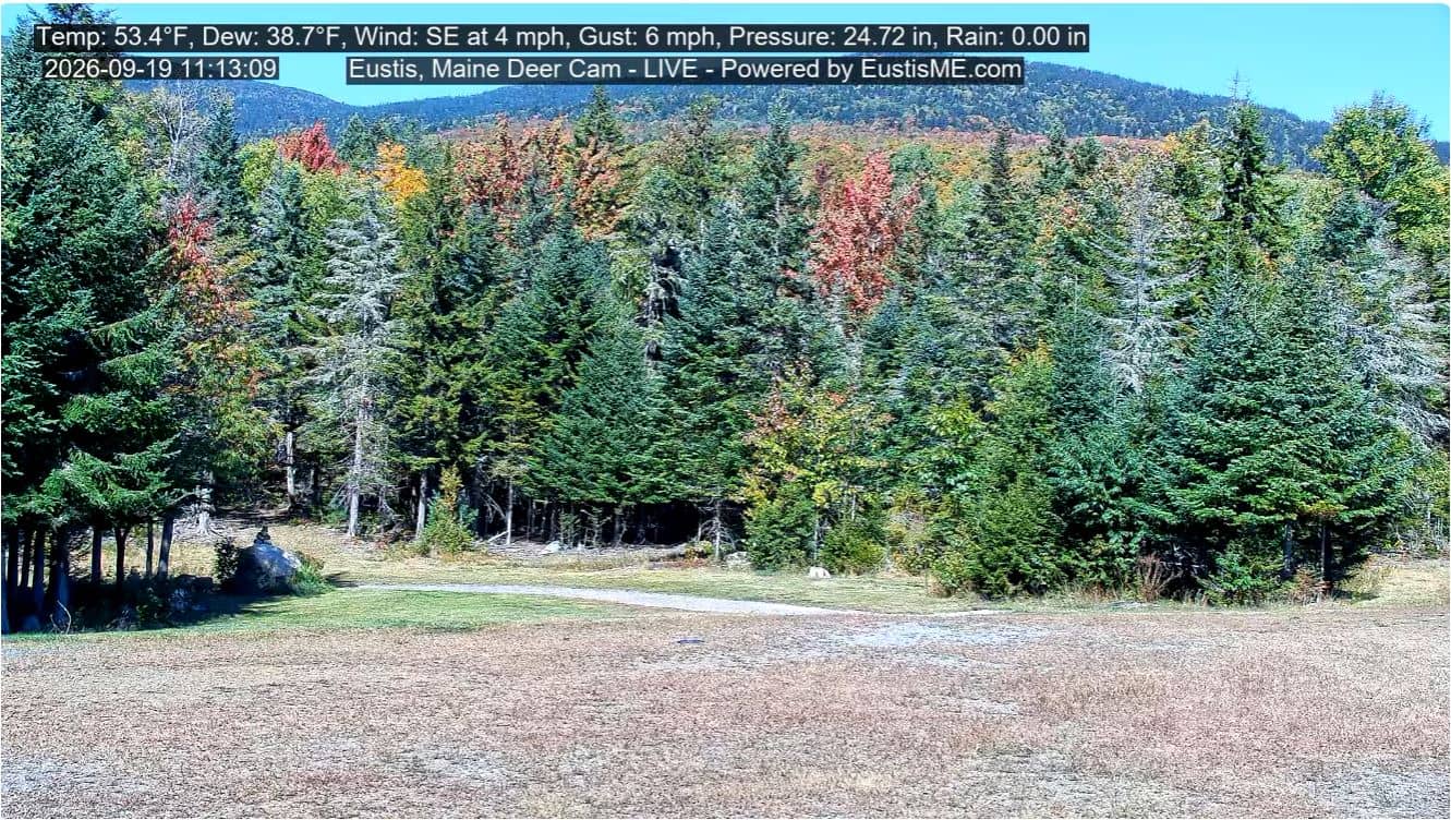
Maine, United States — 25 km
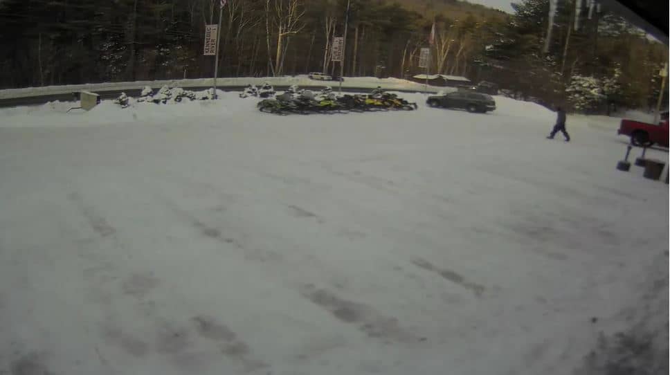
Maine, United States — 26 km

Maine, United States — 47 km

Maine, United States — 60 km
The current conditions and a 3-day forecast are shown in the weather block on this page. The values update automatically, so you can check them before you watch the stream.
The local time is displayed on this page and follows Eastern Time in the United States, including daylight saving changes.
The camera is at the regional airport in Carrabassett Valley, Maine, at about 271 metres altitude. The map on this page shows its precise position.
Winter mornings often bring snow and changing cloud over the airfield, while clear autumn days show the forest colours. Watching during daylight gives the clearest picture.
Partner links: we may earn a commission at no extra cost to you.