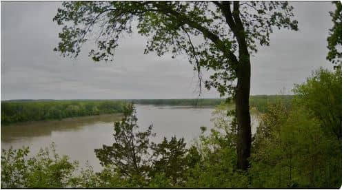
Rocheport - Les Bourgeois Vineyards
Missouri, United States — 65 km
🇺🇸 Missouri · United States — Altitude 278 m
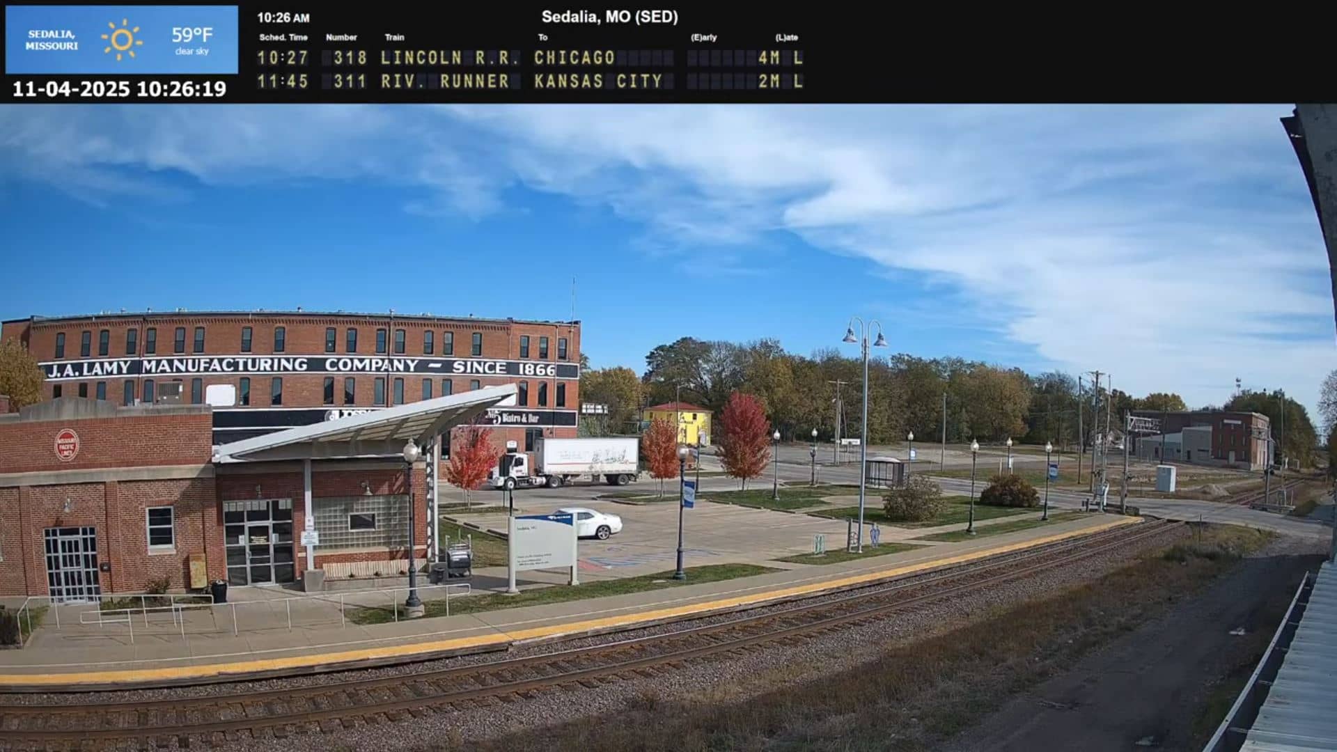
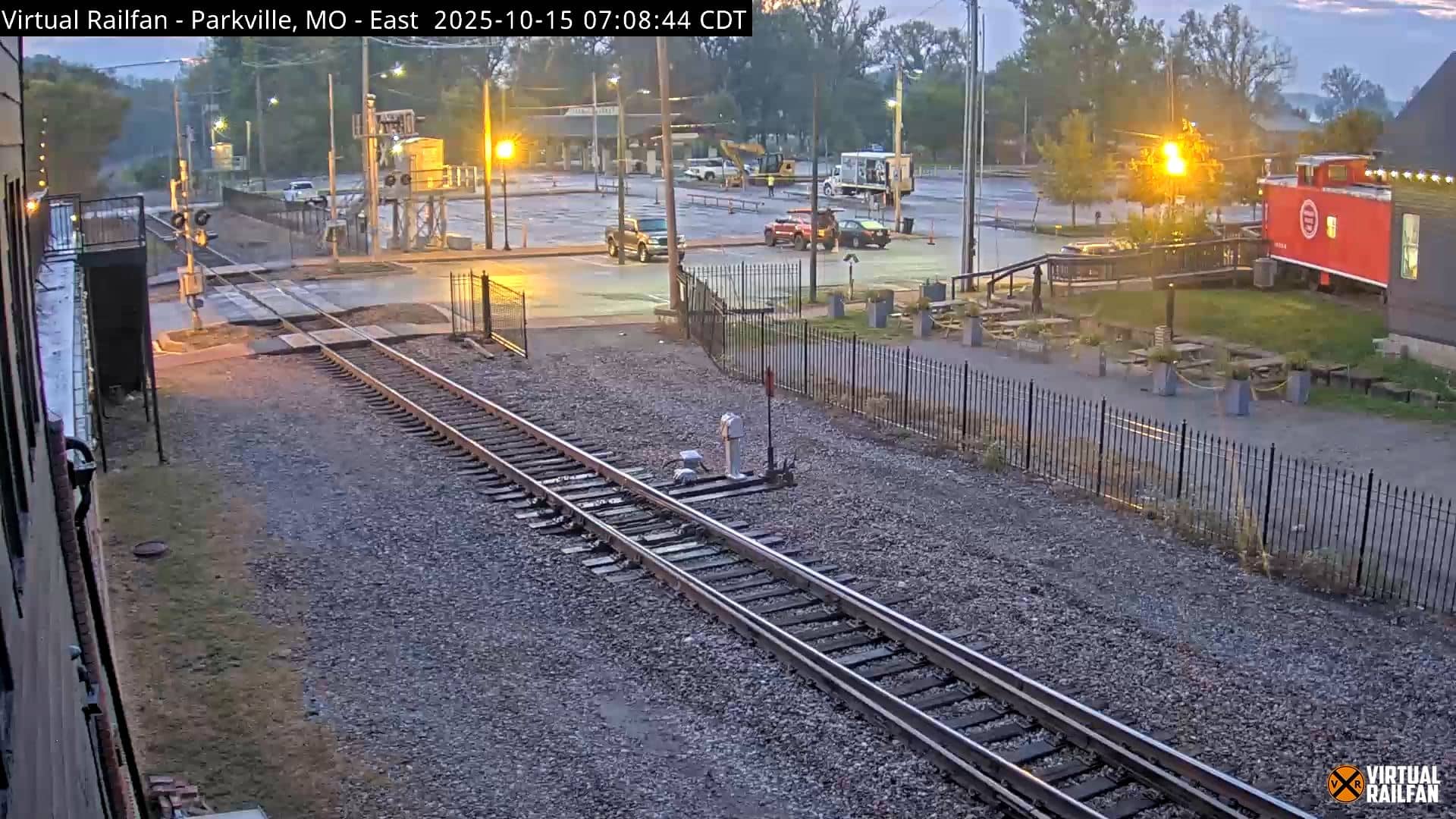
This live stream from Sedalia, in west-central Missouri, lets you see the town as it is right now. The view is provided by a railfan-focused camera network, so it is a good choice if you follow trains or simply want a glimpse of everyday Midwestern life. Use the weather and time blocks on this page to plan your viewing.
Sedalia sits on the rolling prairie of central Missouri, roughly midway between Kansas City and St. Louis. It is the seat of Pettis County and grew up around the railroad, which still shapes its character. The town is also known for hosting the Missouri State Fair each summer and for its historic downtown. The surrounding land is a patchwork of farms, pastures and wooded creek valleys typical of the region.
The stream is listed under the other category, so it does not follow a fixed scene type; the view is best judged once it is running. Because the camera belongs to a rail-oriented network, watch for train movement and the sights of a working railroad town. Daylight hours give the clearest picture, while early mornings and late afternoons often bring the warm light that suits a rural landscape.
Missouri has a humid continental climate with hot, humid summers and cold winters, and spring and autumn are generally the most comfortable seasons to visit. Sedalia is reached by U.S. Route 50 and State Route 65, and the Lake of the Ozarks and Rocheport lie within a short drive to the south and northeast. The nearby cameras listed on this page can help you compare conditions across the region.
Source: SteelHighwayRailcams
Missouri, United States — 65 km
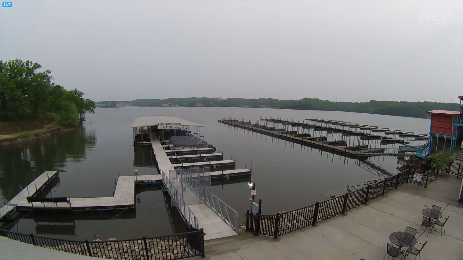
Missouri, United States — 77 km
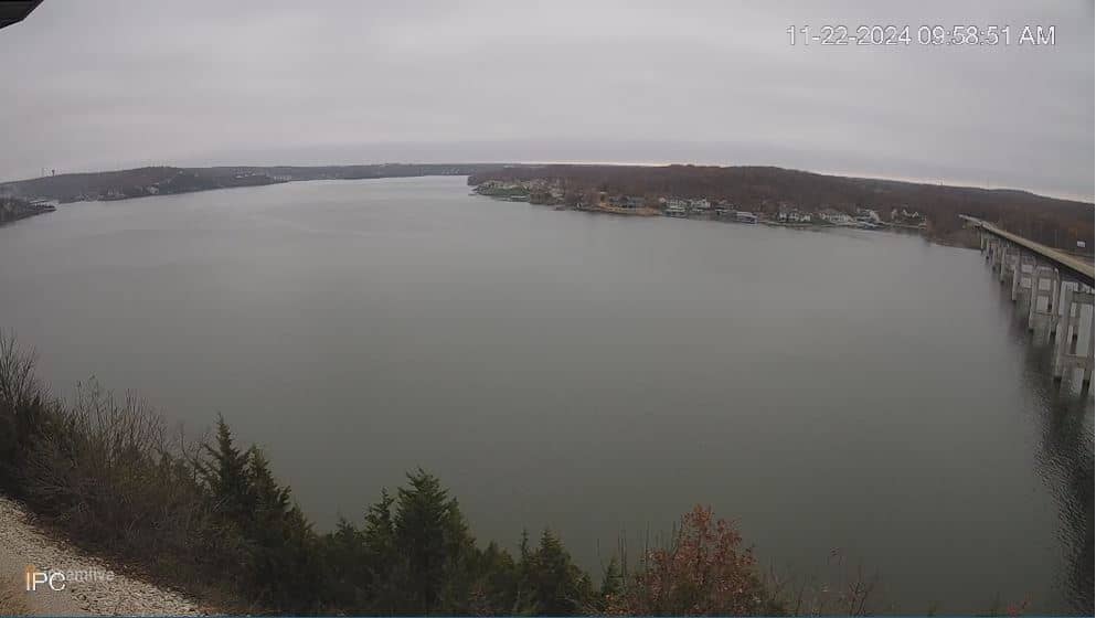
Missouri, United States — 77 km
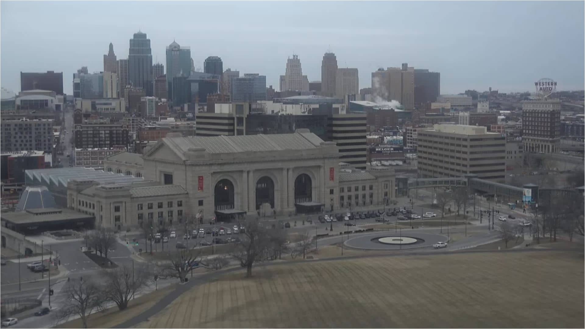
Missouri, United States — 125 km
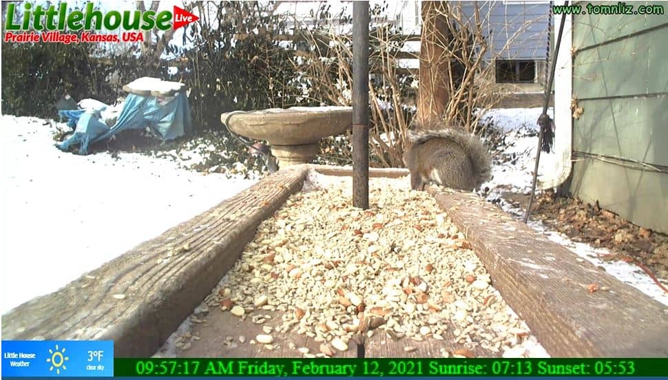
Kansas, United States — 127 km
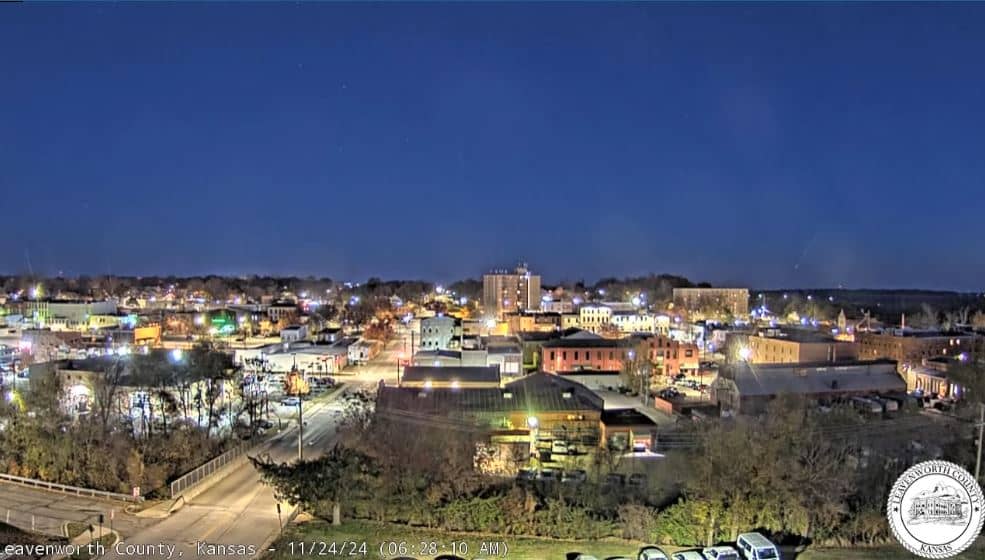
Kansas, United States — 127 km
Kansas, United States — 134 km
Missouri, United States — 137 km

Missouri, United States — 147 km

Kansas, United States — 154 km
The current conditions and the 3-day forecast for Sedalia are shown in the live weather block on this page. They update automatically, so you do not need to refresh the page to check.
The local time for Sedalia is displayed on this page and follows the Central time zone used across this part of Missouri. The clock updates live alongside the camera.
The camera is in Sedalia, Missouri, in the United States, at an elevation of about 278 metres. The map on this page marks its position and shows the surrounding area.
Daylight hours give the clearest view, and early morning or late afternoon light is often the most flattering. Check the weather block first, as conditions strongly affect what you can see.
Partner links: we may earn a commission at no extra cost to you.