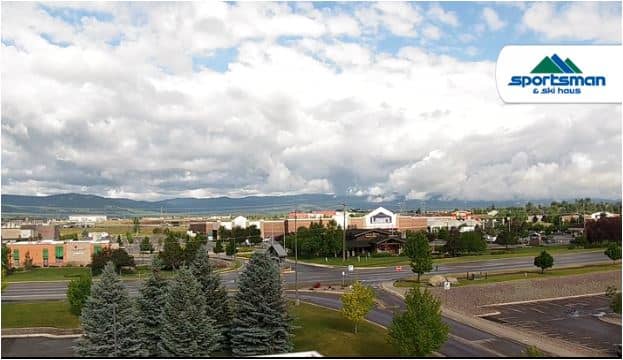
Kalispell
Montana, United States — 3 km
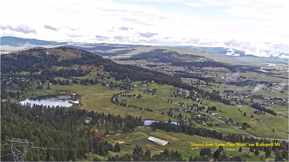
Kalispell - Lone Pine
🇺🇸 Montana · United States — Altitude 1103 m
This live camera looks out over Kalispell, the largest town in Montana's Flathead Valley. It is useful for checking how the sky and mountains look right now before a drive or a day outdoors. The stream is provided by its owner and embedded here with a link to the source.
Kalispell sits at roughly 1,100 metres in northwestern Montana, at the northern end of the Flathead Valley. The town is a gateway to Glacier National Park, to the east, and to Flathead Lake, a large freshwater lake just to the south. The valley is framed by forested ranges and open farmland, and the surrounding mountains give the skyline a distinctive shape that changes with the light and season.
The camera is most rewarding when you want to judge the sky: cloud build-up over the peaks, snow on the ranges in winter, or clear, sharp views after a cold front. Early morning and late afternoon usually bring the most contrast to the mountains. Conditions can change quickly in this region, so the live view is a practical way to see what is actually happening rather than relying on a forecast alone.
Summers are warm and dry, with long daylight hours, while winters are cold and snowy. Late spring and early autumn are often the most comfortable seasons for travel. Kalispell has an airport and is a practical base for trips to nearby sites. Other cameras in the area include Evergreen - Osprey Pole, Blacktail ski area and Lakeside - Volunteer Park.
Source: montanasky.net
Montana, United States — 3 km
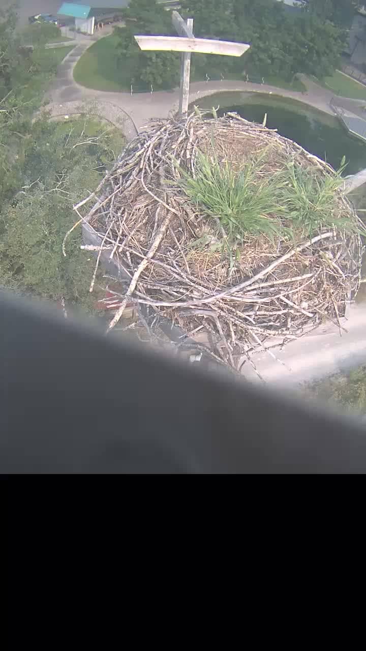
Montana, United States — 6.3 km
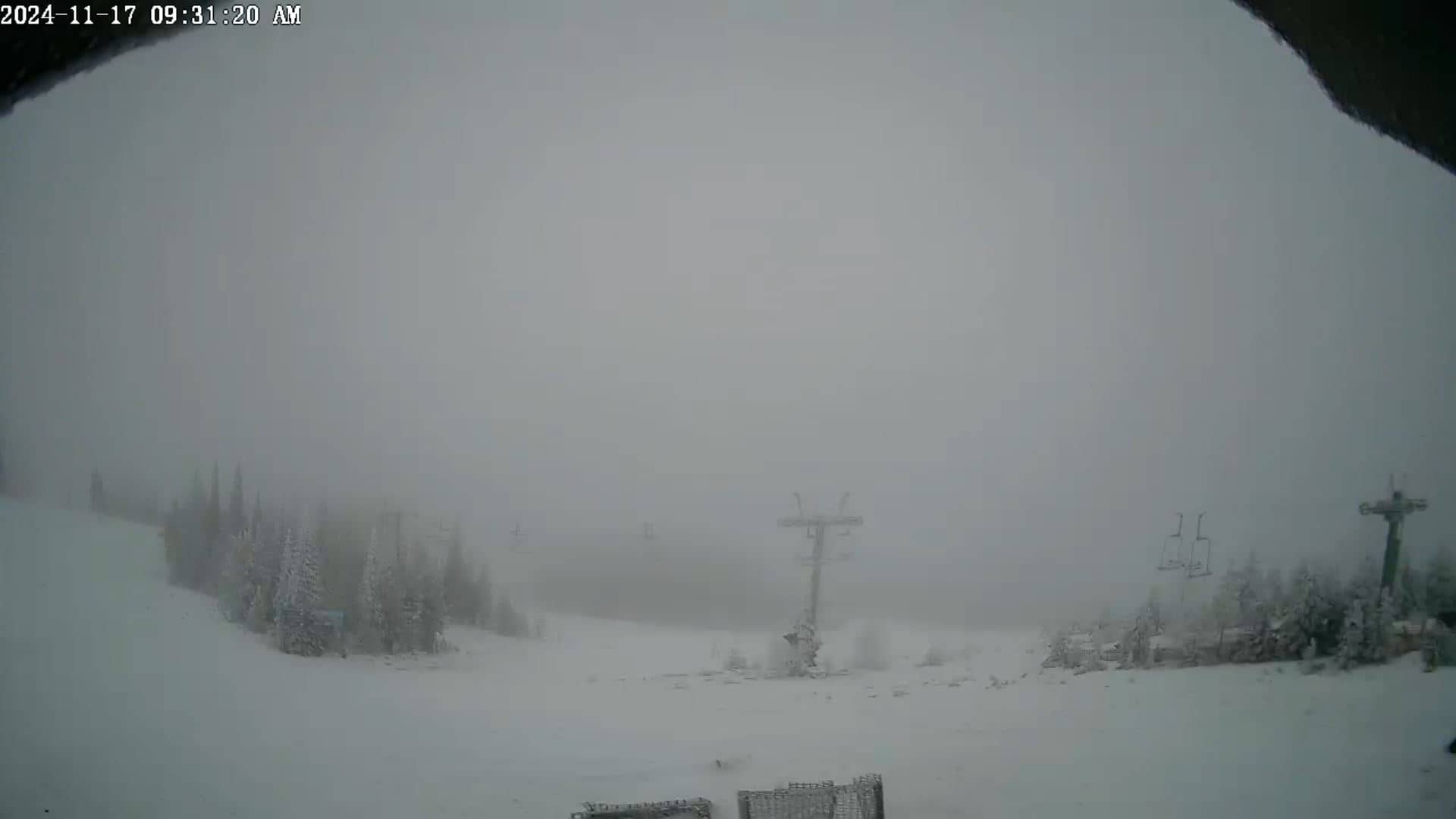
Montana, United States — 18 km
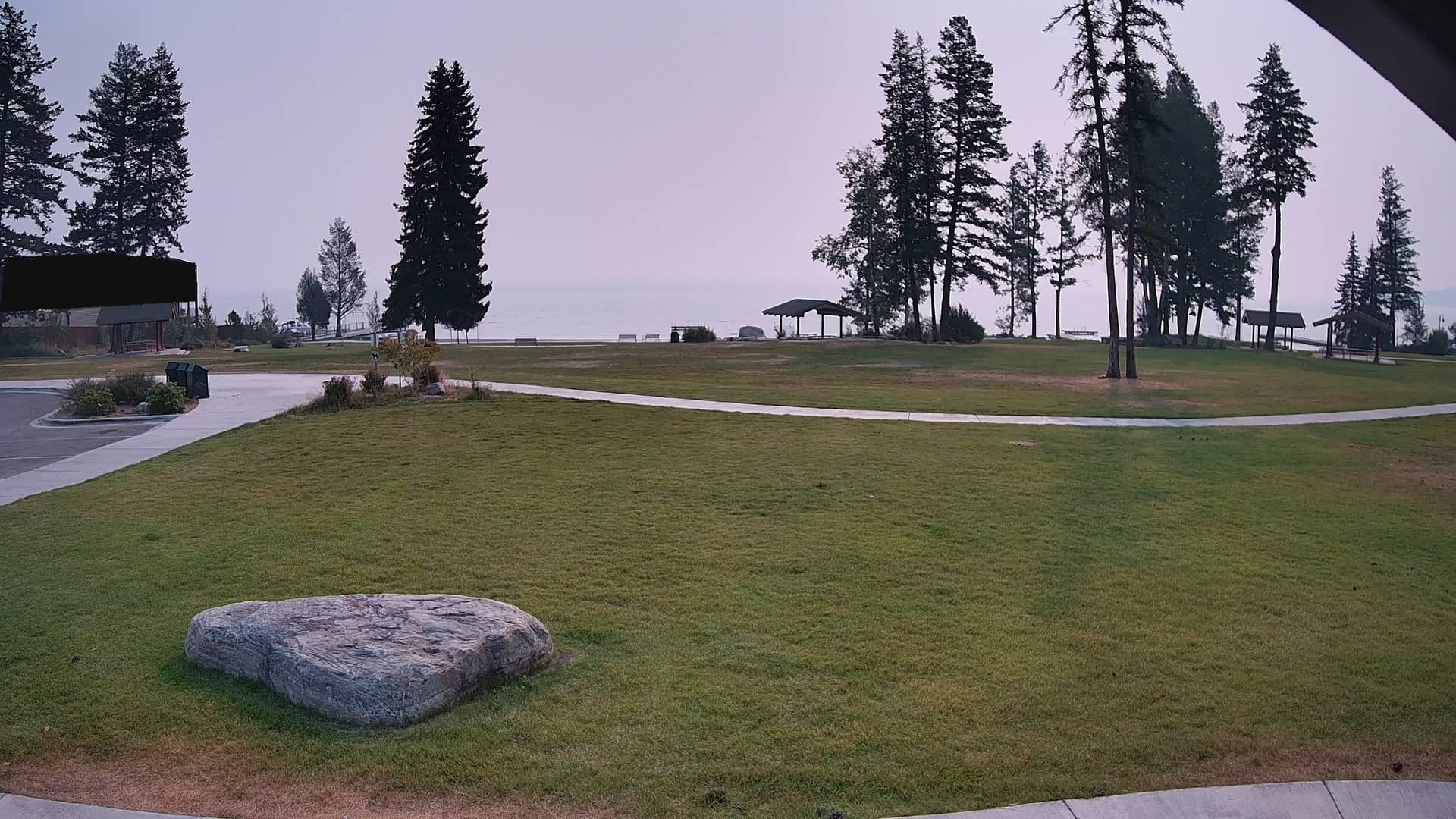
Montana, United States — 19 km

Montana, United States — 26 km
Montana, United States — 29 km
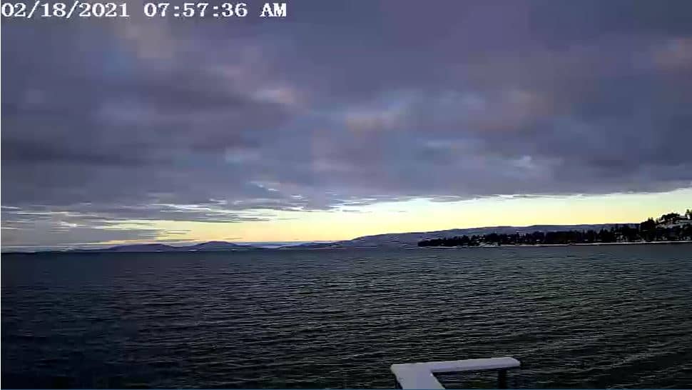
Montana, United States — 29 km
Montana, United States — 35 km

Montana, United States — 37 km
Montana, United States — 55 km
Current conditions and a three-day forecast for Kalispell are shown in the live weather block on this page. They update automatically, so you can compare them with the camera view.
The local time for Kalispell, Montana, is displayed on this page and follows the Mountain time zone. It updates live alongside the camera.
The camera is in Kalispell, Montana, at about 1,100 metres elevation in the Flathead Valley. The map on this page shows its position and the surrounding area.
Early morning and late afternoon often give the clearest light on the mountains. Winter and spring can show snow and changing cloud, so the best time depends on what you want to see.
Partner links: we may earn a commission at no extra cost to you.