
Waverly Precinct - Lincoln Sky Knights Field 1
Nebraska, United States — 19 km
Ashland
🇺🇸 Nebraska · United States — Altitude 373 m
This live camera looks out over Ashland, a small town in eastern Nebraska along the Platte River valley. It is useful for a quick look at conditions in the town before you travel, or simply to see how the prairie sky is changing. The page adds local time, current weather and a map alongside the stream.
Ashland sits roughly 25 kilometres southwest of Omaha in Saunders County, on land that rises gently from the Platte River floodplain. The town grew around the railroad and the river crossings, and it remains a quiet community with farms, older brick streets and a strong link to the Nebraska countryside. The landscape around it is open, flat to rolling, and dominated by corn and soybean fields that change colour through the seasons.
Because the camera is titled simply by its place name, we cannot tell you exactly which buildings or streets are in frame. Depending on the view, you may see rooftops, trees, open sky and traffic moving through town. Mornings and late afternoons usually give the clearest light and the best contrast on the prairie horizon. Storm systems rolling in from the west are often easy to spot on a summer afternoon, which is worth watching if you are planning travel nearby.
Ashland has a continental climate with hot, humid summers and cold, windy winters, so spring and early autumn are the most comfortable times to visit. Lincoln, the state capital, lies about 35 kilometres to the southwest and is the closest large city. The other cameras listed on this page, including the Lincoln views and the Waverly Precinct field, give a wider sense of the surrounding area and are worth a visit when you want to compare conditions.
Source: viaero.com
Nebraska, United States — 19 km
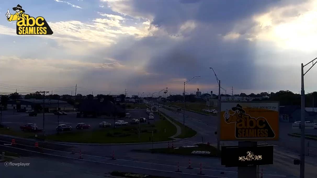
Nebraska, United States — 32 km
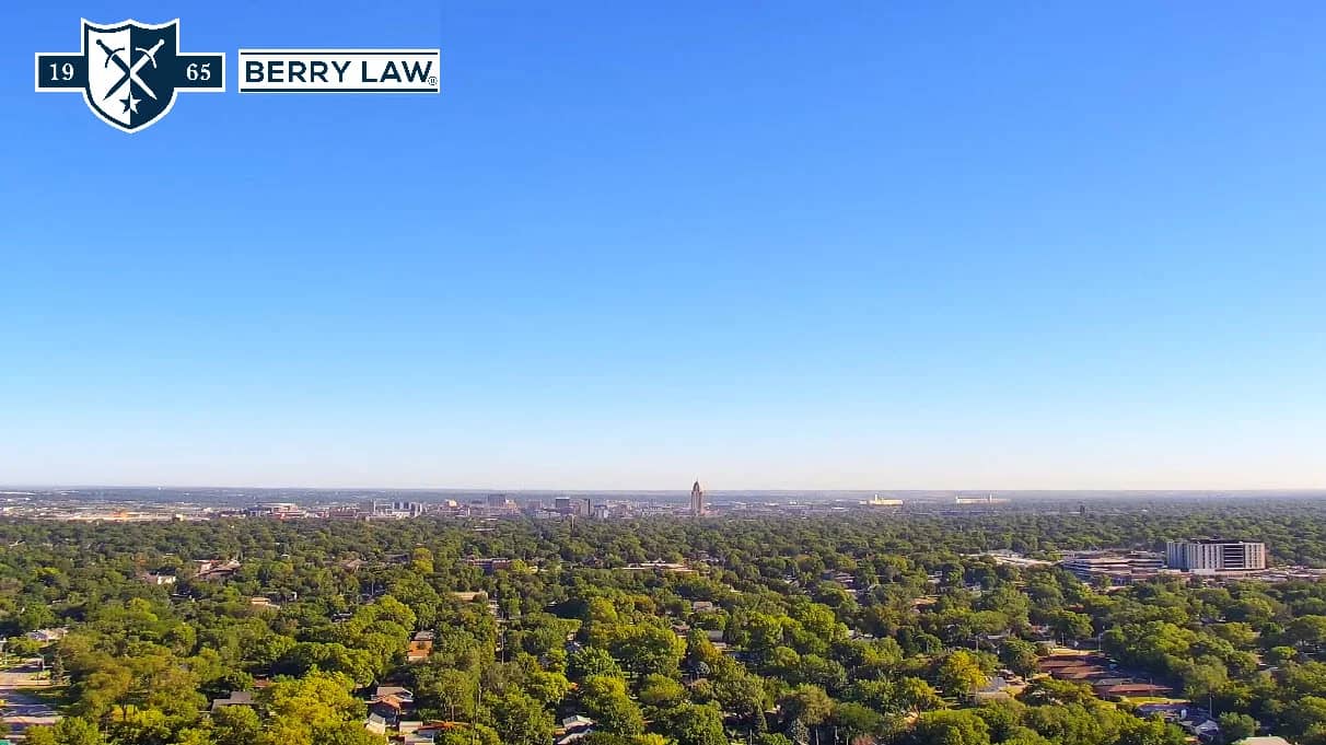
Nebraska, United States — 33 km
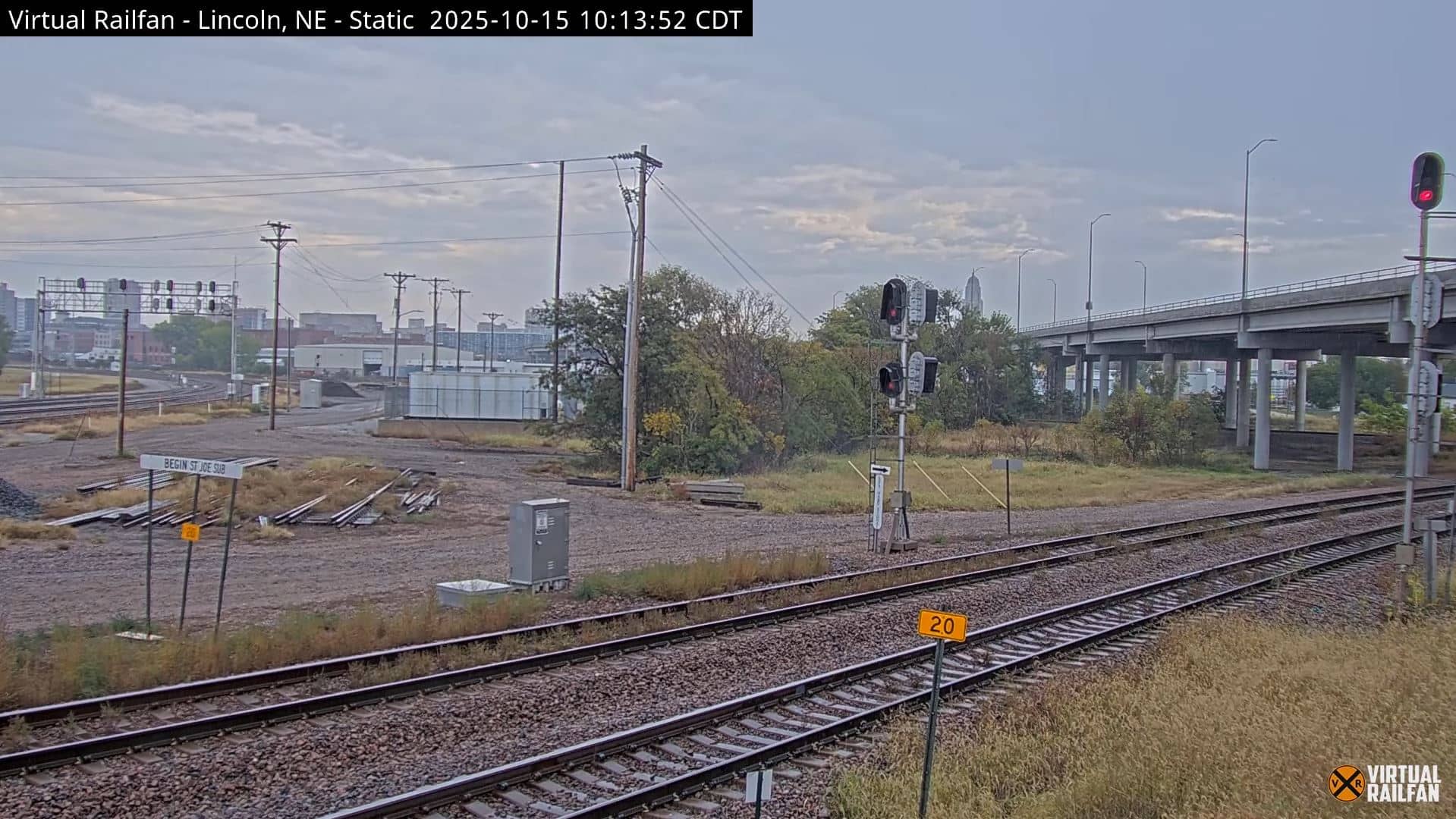
Nebraska, United States — 36 km

Nebraska, United States — 38 km
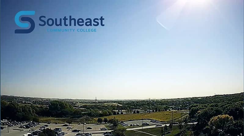
Nebraska, United States — 41 km

Nebraska, United States — 43 km
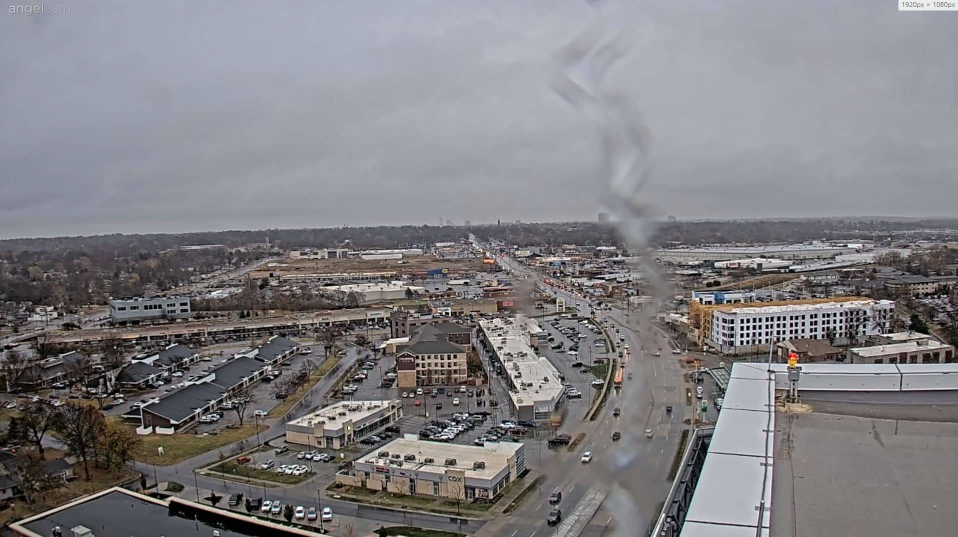
Nebraska, United States — 43 km

Nebraska, United States — 44 km
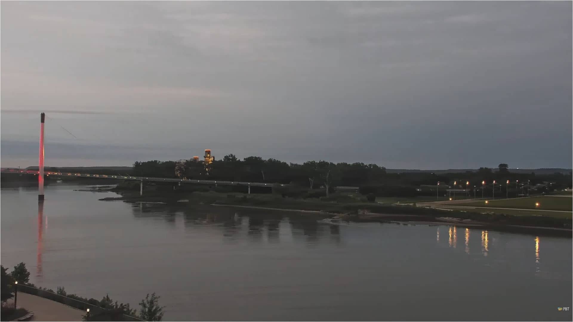
Nebraska, United States — 44 km
The current conditions and a three-day forecast for Ashland are shown in the weather block on this page. The figures update automatically, so you can check them before you head out.
The local time for Ashland is displayed on the page and follows Central Time, which applies across this part of Nebraska. The clock updates live alongside the camera.
The camera is in Ashland, Nebraska, about 25 kilometres southwest of Omaha. The map on this page marks its position, and the coordinates are shown for reference.
Early morning and late afternoon usually give the clearest light over the prairie. Summer evenings can also bring dramatic cloud build-up, so the view is often most interesting then.
Partner links: we may earn a commission at no extra cost to you.