Bridgeport
Nebraska, United States — 52 km
Alliance
🇺🇸 Nebraska · United States — Altitude 1211 m
This live camera looks out over Alliance, a small city in the High Plains of western Nebraska. It is useful for anyone curious about current conditions on the open prairie, from clear skies to approaching storms. The page also shows local time and a short forecast so you can judge the scene at a glance.
Alliance sits at roughly 1,200 metres above sea level on the wide grassland plateau of the Nebraska Panhandle. The town grew up around the railroad and remains a regional hub for ranching and agriculture. The landscape is defined by long horizons, big skies and the rolling sandhills that stretch across the region. Few trees interrupt the view, so changes in the weather are easy to follow from a distance.
The camera is listed under the mountain category, which suggests an elevated viewpoint over the surrounding high ground rather than a street-level scene. Depending on the view, you may see cloud build-up, sunrise and sunset light on the plains, and snow cover in winter. Late afternoon and early evening often give the clearest contrast between land and sky, and summer thunderstorms are most visible on warm afternoons.
Western Nebraska has a continental climate with hot summers, cold winters and considerable wind year-round. Spring and early autumn are generally the most comfortable seasons for travel. Other cameras in the region include Bridgeport, Gering, Scottsbluff and Chadron, each within roughly 50 to 80 kilometres, so you can compare conditions across the Panhandle.
Source: viaero.com
Nebraska, United States — 52 km
Nebraska, United States — 72 km

Nebraska, United States — 72 km
Nebraska, United States — 82 km
Nebraska, United States — 126 km
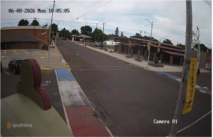
Colorado, United States — 133 km
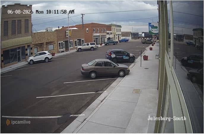
Colorado, United States — 133 km

Nebraska, United States — 139 km
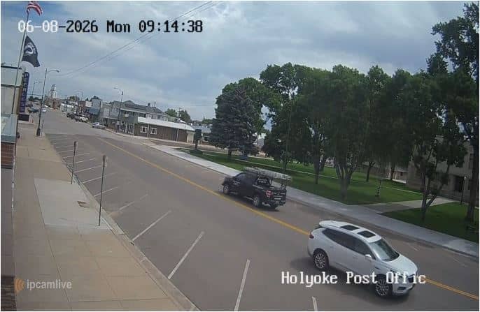
Colorado, United States — 174 km
Colorado, United States — 175 km
The current conditions and a three-day forecast for Alliance are shown in the live weather block on this page. The values update on their own, so you do not need to refresh the page.
The local time in Alliance is shown on this page and follows Mountain Time, which the city observes with daylight saving changes. The clock on the page is updated to match the local time.
The camera is in Alliance in the Nebraska Panhandle, at approximately 42.10 degrees north and 102.86 degrees west, at an altitude of about 1,211 metres. The map on the page marks its position.
Late afternoon and sunset are often the most rewarding times, when light changes across the plains. Summer afternoons can show storm clouds building, while winter may show snow on the ground.
Partner links: we may earn a commission at no extra cost to you.