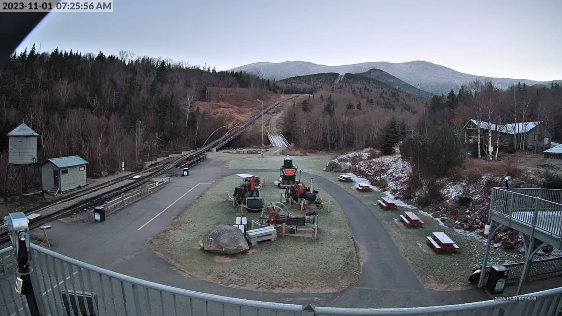
Mont Washington - Cog Railway
New Hampshire, United States — 4.1 km
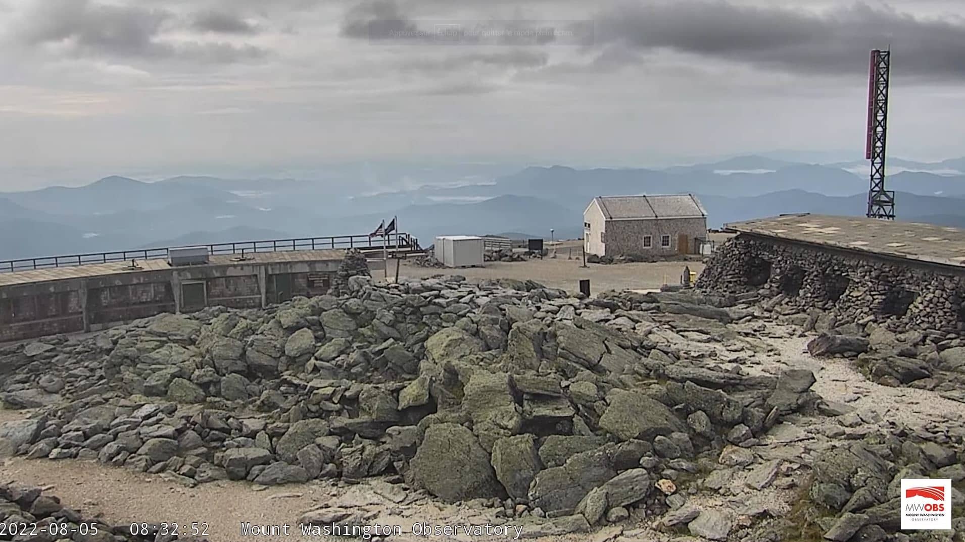
Mont Washington
🇺🇸 New Hampshire · United States — Altitude 1915 m
This live stream looks out from the summit of Mount Washington, the highest peak in the northeastern United States at 1,915 metres. It is a useful window for anyone checking how conditions look at the top of the White Mountains before a hike, a drive or a train ride.
Mount Washington rises in the White Mountains of New Hampshire and is known for some of the most volatile weather in North America. Strong winds, sudden fog and rapid temperature drops are common even in summer, and the summit has recorded some of the highest wind speeds ever measured at the surface. The bare rocky top and the surrounding alpine tundra give the area a stark, remote character quite unlike the forested valleys below.
The camera is aimed at the summit area, so the view depends heavily on cloud and visibility. On clear days you may see long ridgelines and distant valleys, while in poor weather the picture can be almost entirely cloud. Early mornings and the hours before sunset are often the most rewarding times to watch, especially when the light falls across the rock and the surrounding peaks.
Summer and early autumn offer the most settled conditions, though the summit can be cold and windy at any time of year. The Mount Washington Cog Railway runs up the slopes about 4 km from this camera, and North Conway, Loon Mountain and Whitefield are all within roughly 30 km, so the camera pairs well with trips across the region.
Source: Mount Washington Webcam
New Hampshire, United States — 4.1 km
New Hampshire, United States — 11 km
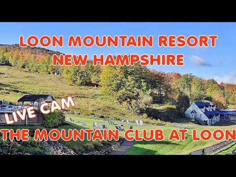
New Hampshire, United States — 15 km
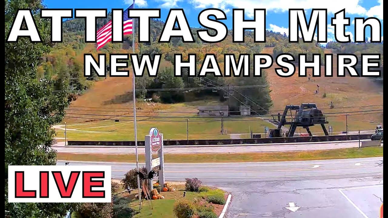
New Hampshire, United States — 22 km
New Hampshire, United States — 27 km

New Hampshire, United States — 28 km
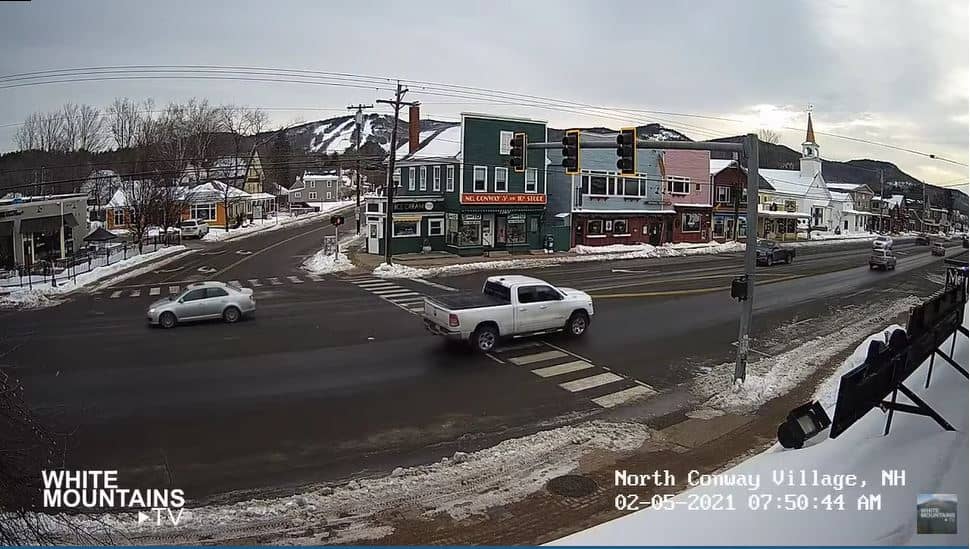
New Hampshire, United States — 28 km
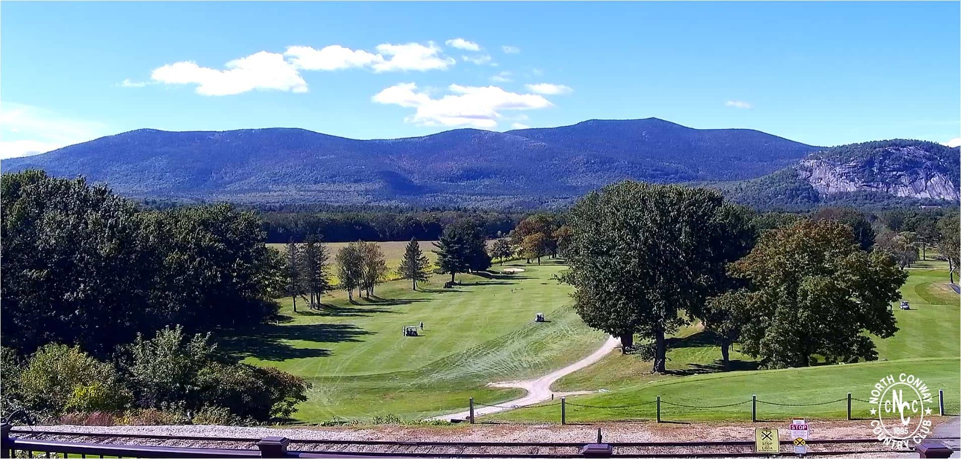
New Hampshire, United States — 28 km
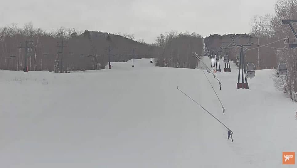
New Hampshire, United States — 28 km
Maine, United States — 40 km
The current conditions and a 3-day forecast are shown in the live weather block on this page. Summit weather can change quickly, so check it again shortly before you travel.
The local time for the summit is displayed on this page and follows the Eastern time zone used in New Hampshire, including daylight saving changes.
The camera is at the summit area of Mount Washington in New Hampshire, at about 1,915 metres above sea level. The map on this page shows its position in the White Mountains.
Clear mornings and late afternoons often give the best visibility and light. Summer and early autumn are the most settled seasons, but you may see fog or cloud at any time.
Partner links: we may earn a commission at no extra cost to you.