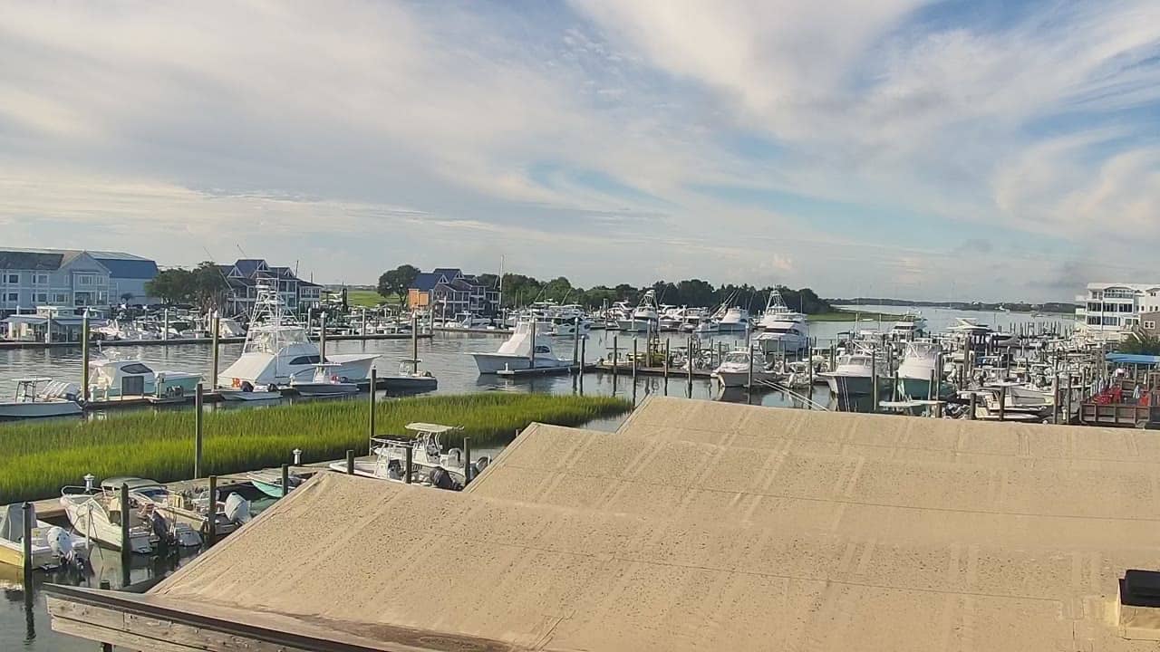
Wrightsville Beach - ICW Drawbridge
North Carolina, United States — 0.1 km
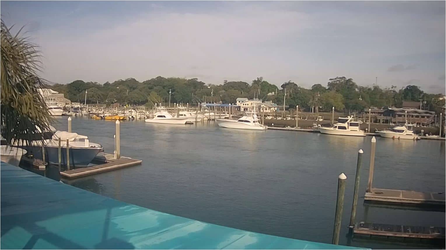
Wrightville Beach - Intracoastal Waterway
🇺🇸 North Carolina · United States — Altitude 4 m
This live stream looks over the Intracoastal Waterway at Wrightville Beach on the North Carolina coast. Boat traffic on the sheltered water and the shoreline are the main subjects, so it suits anyone planning a trip or simply curious about the water on a given day. The local time and weather below the player update with the page.
Wrightville Beach is a small barrier island town just east of Wilmington, separated from the mainland by the Intracoastal Waterway, a protected inland route that runs along much of the Atlantic coast. The island is known for its long sandy shoreline, quiet residential streets and a relaxed pace compared with larger resort towns. Low dunes, marsh grass and tidal creeks give the area a character shaped by the water on both sides.
Because the camera is aimed at the waterway, the view centres on boats moving through the channel, docks and the marsh edges rather than surf. Mornings often bring calmer water and clearer light, while late afternoon can be warm and busy with recreational boats. Summer weather can bring afternoon thunderstorms, so the live weather block is useful for judging conditions before you watch or plan a visit.
The climate is humid subtropical, with hot summers and mild winters; spring and autumn are generally the most comfortable seasons for being outdoors. The island is compact and easy to explore on foot or by bike. Nearby cameras on VizCams include the Seapath Yacht Club view, the Carolina Yacht Club beach and the Johnnie Mercers Fishing Pier, which together show more of the local shoreline.
Coastal conditions can change quickly, so checking the forecast alongside the picture helps.
Source: surfchex.com
North Carolina, United States — 0.1 km
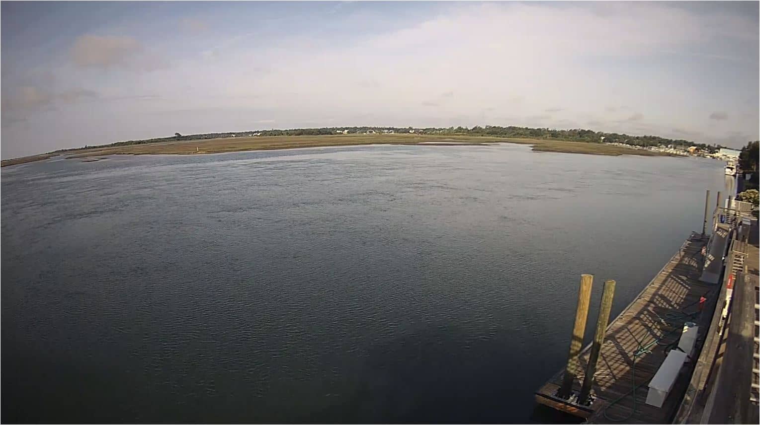
North Carolina, United States — 0.8 km
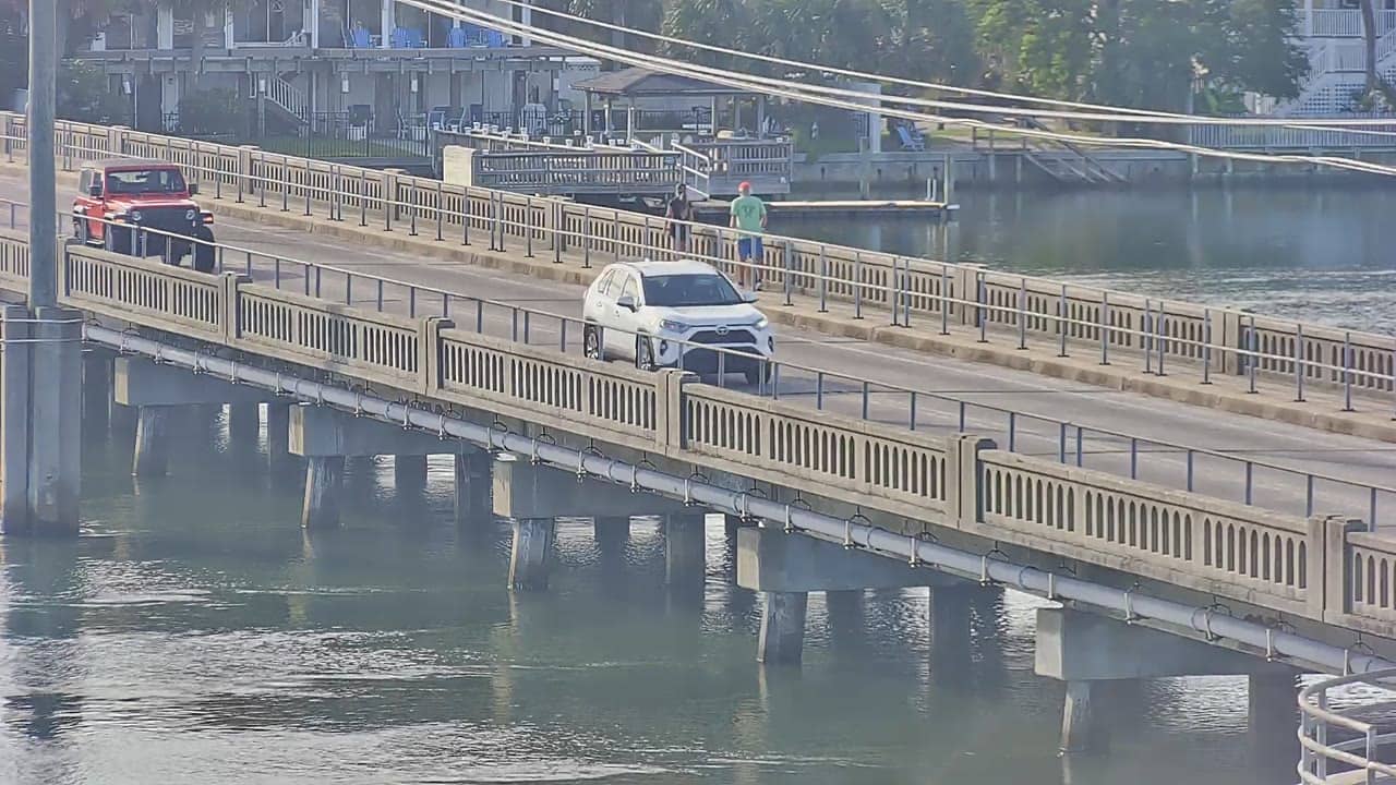
North Carolina, United States — 1 km
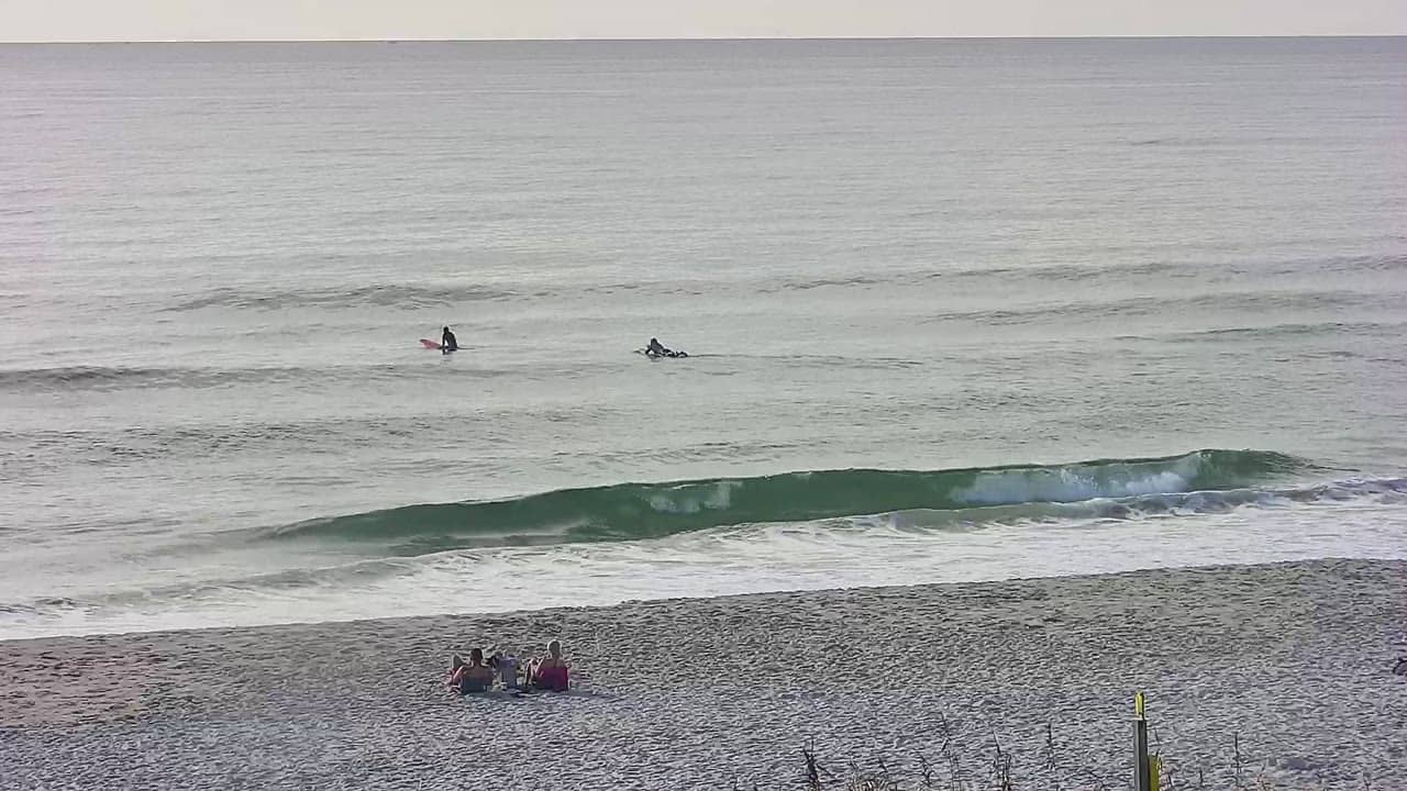
North Carolina, United States — 1.8 km
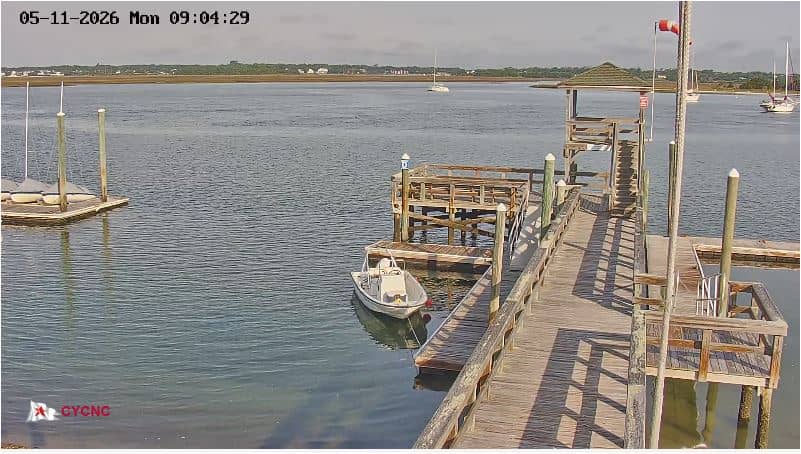
North Carolina, United States — 1.9 km
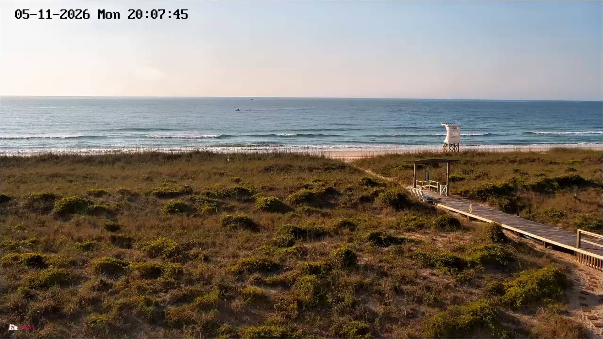
North Carolina, United States — 2.1 km
North Carolina, United States — 2.3 km
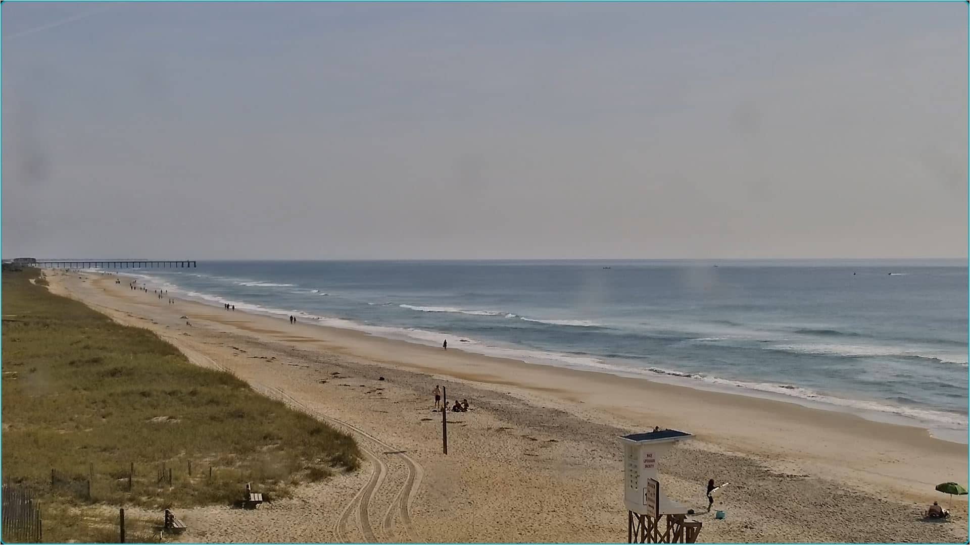
North Carolina, United States — 2.6 km
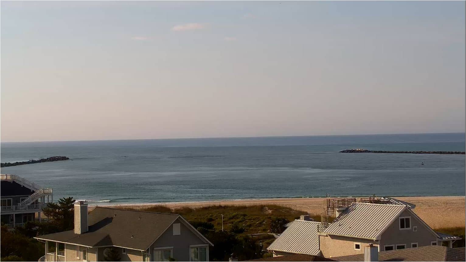
North Carolina, United States — 3.1 km
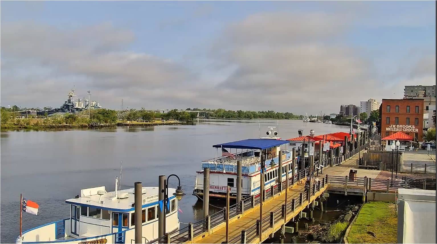
North Carolina, United States — 13 km
The current conditions and three-day forecast are shown in the weather block on this page, updated for the location. Check it before watching or planning time on the water.
The local time for Wrightville Beach is displayed on this page. It follows the Eastern time zone used along the North Carolina coast.
The camera overlooks the Intracoastal Waterway at Wrightville Beach, North Carolina, United States. The map on the page marks its position on the island.
Early morning and late afternoon are often the most pleasant times, with calmer water and good light. Boat activity tends to be highest on warm, sunny days.
Partner links: we may earn a commission at no extra cost to you.