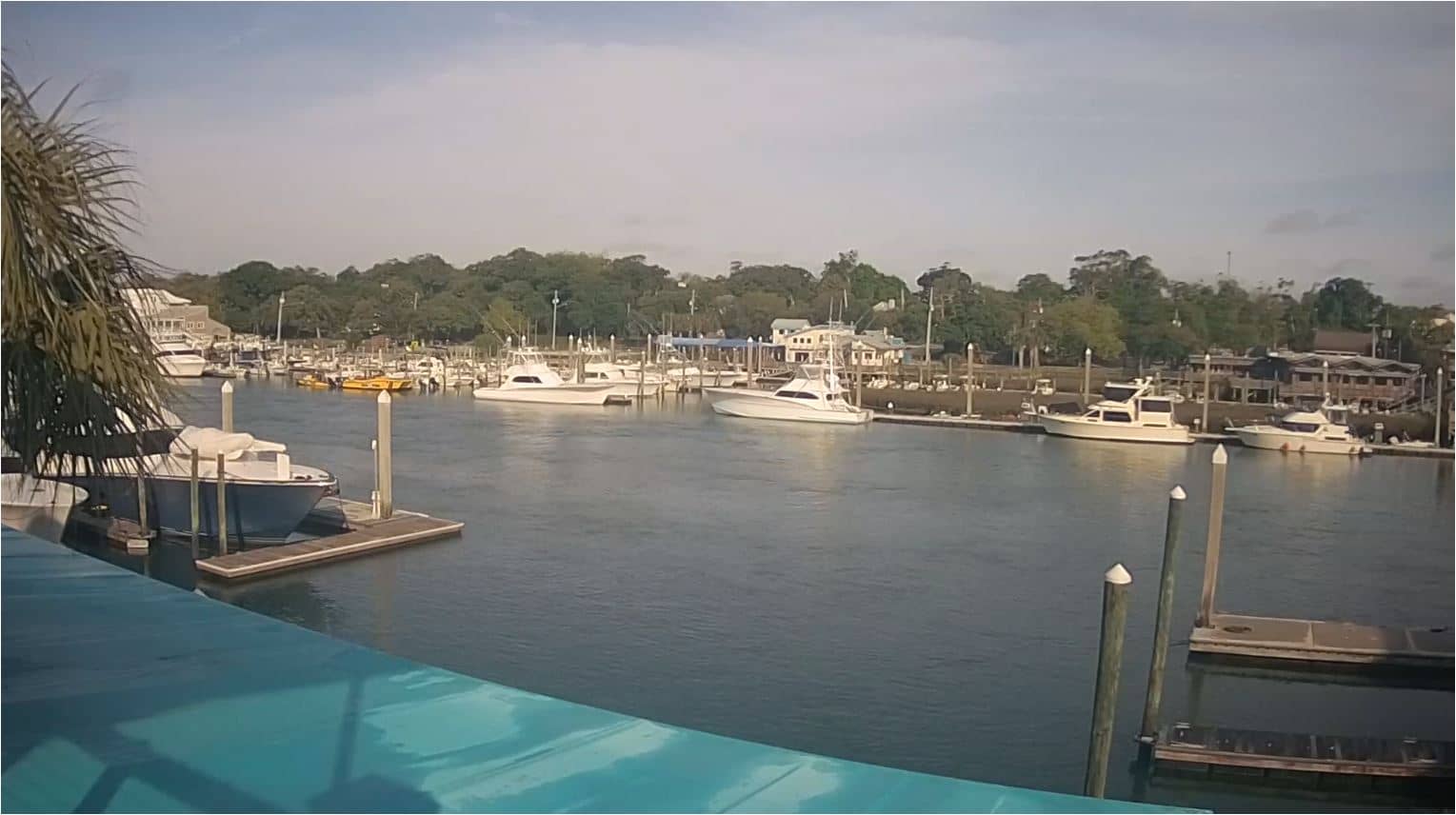
Wrightville Beach - Intracoastal Waterway
North Carolina, United States — 0.1 km
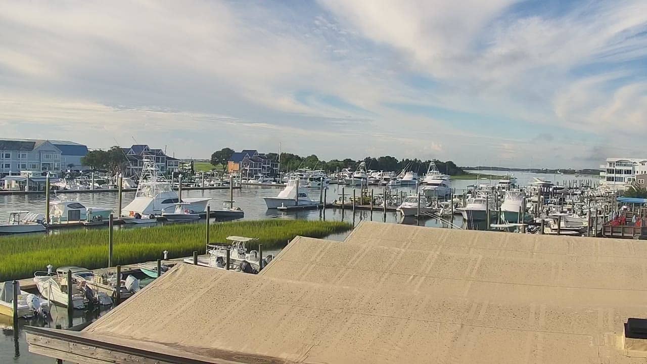
Wrightsville Beach - ICW Drawbridge
🇺🇸 North Carolina · United States — Altitude 4 m
This live stream looks at the drawbridge on the Intracoastal Waterway at Wrightsville Beach, North Carolina. It suits anyone curious about boat traffic on this stretch of coast or checking conditions before heading to the shore. The page also shows local time and the weather for the area.
Wrightsville Beach is a barrier island community just east of Wilmington on the southern North Carolina coast. It is known for its long sandy shoreline, surfing, and a historic pier. The Intracoastal Waterway runs between the island and the mainland, carrying pleasure boats, fishing vessels and commercial traffic along a sheltered route. The low, flat landscape gives the area a relaxed, seaside atmosphere.
The camera is aimed at a drawbridge over the waterway, so the most common sights are boats passing through and the bridge opening for taller vessels. Activity is often busiest in warmer months and on weekend afternoons, when recreational boating peaks. Weather changes, such as fog, rain or the light of early morning and sunset, can noticeably change the view, so it is worth checking at different times of day.
Wrightsville Beach has a humid subtropical climate, with hot, wet summers and mild winters. Late spring and early autumn are often the most comfortable times to visit. The island is small and walkable, and nearby cameras on the same waterway and beach can show you other parts of the coast before you go.
Source: surfchex.com
North Carolina, United States — 0.1 km
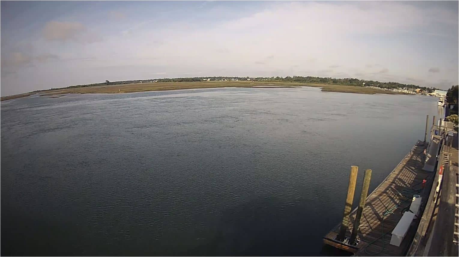
North Carolina, United States — 0.7 km
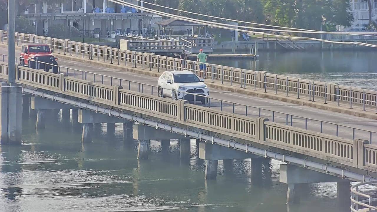
North Carolina, United States — 0.9 km
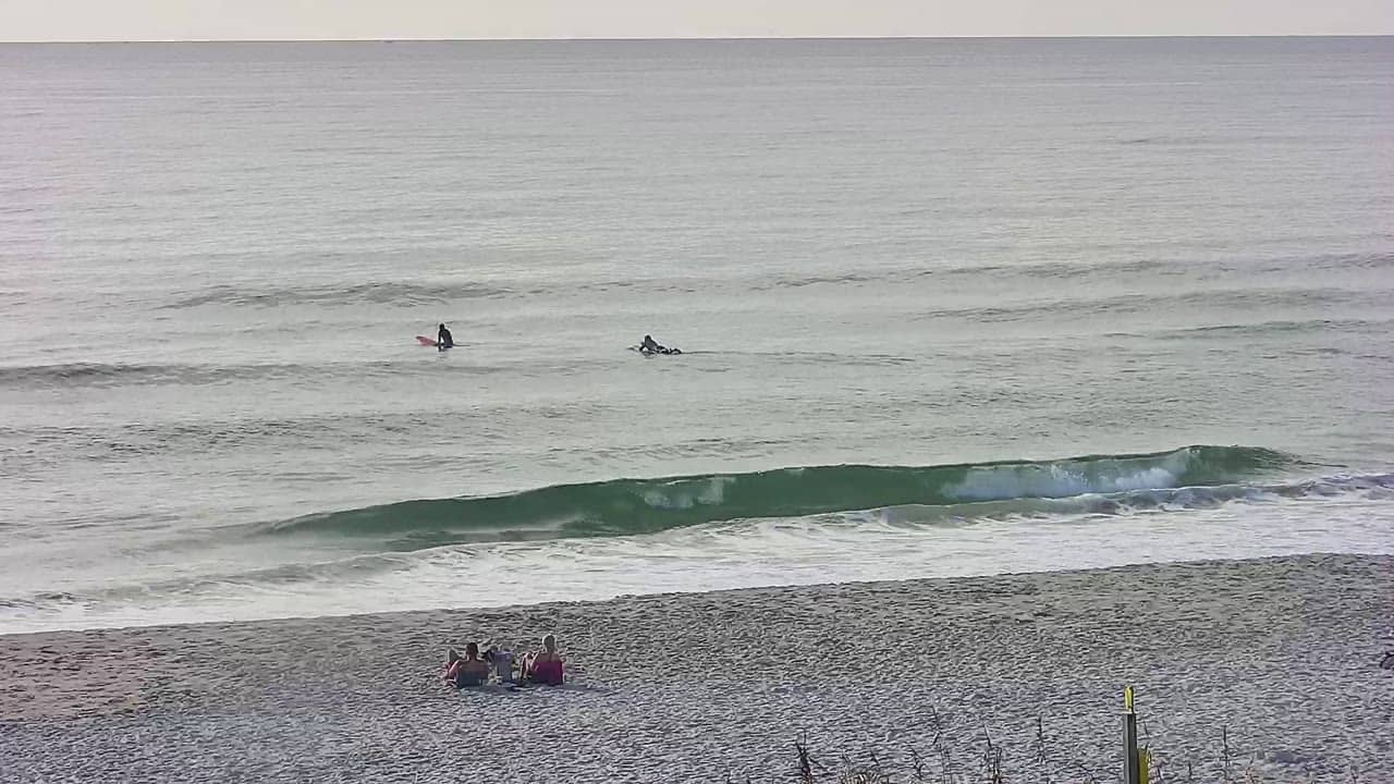
North Carolina, United States — 1.8 km
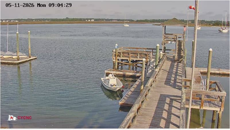
North Carolina, United States — 1.9 km
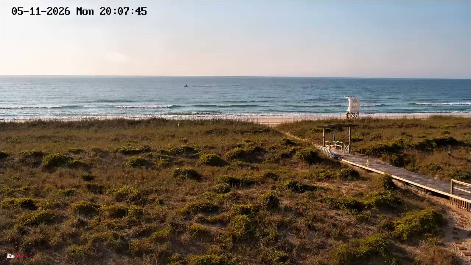
North Carolina, United States — 2 km
North Carolina, United States — 2.2 km
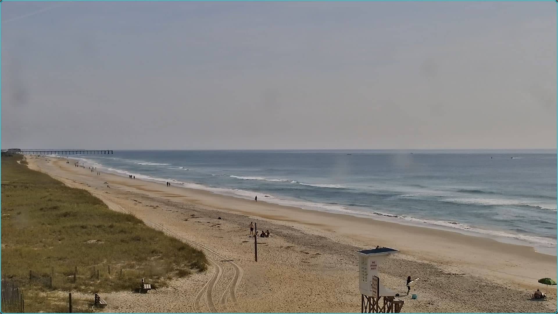
North Carolina, United States — 2.6 km
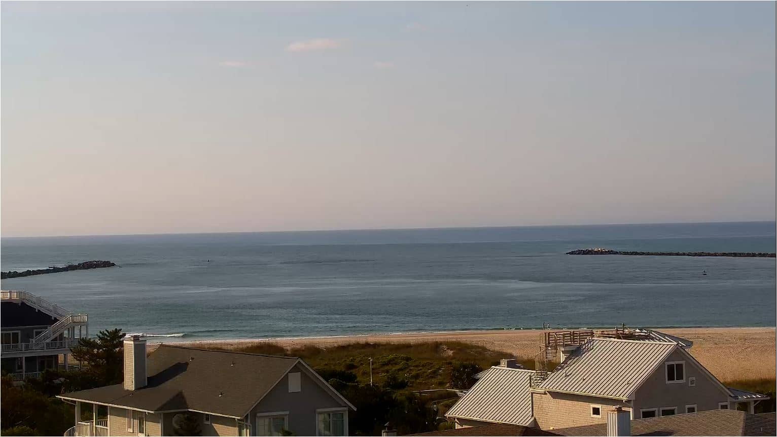
North Carolina, United States — 3.1 km
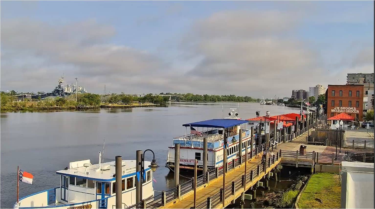
North Carolina, United States — 13 km
Current conditions and a three-day forecast for Wrightsville Beach are shown in the weather block on this page. The values update on their own, so you can check them alongside the live view.
The local time for Wrightsville Beach is displayed on this page and follows the Eastern time zone used on the North Carolina coast. It is updated automatically while you watch.
The camera overlooks the drawbridge on the Intracoastal Waterway at Wrightsville Beach, near Wilmington on the North Carolina coast. The map on this page marks its position.
Boat traffic is usually heaviest in warmer months and on weekend afternoons. Early morning and evening light can also make the view more interesting, though fog or rain may reduce visibility.
Partner links: we may earn a commission at no extra cost to you.