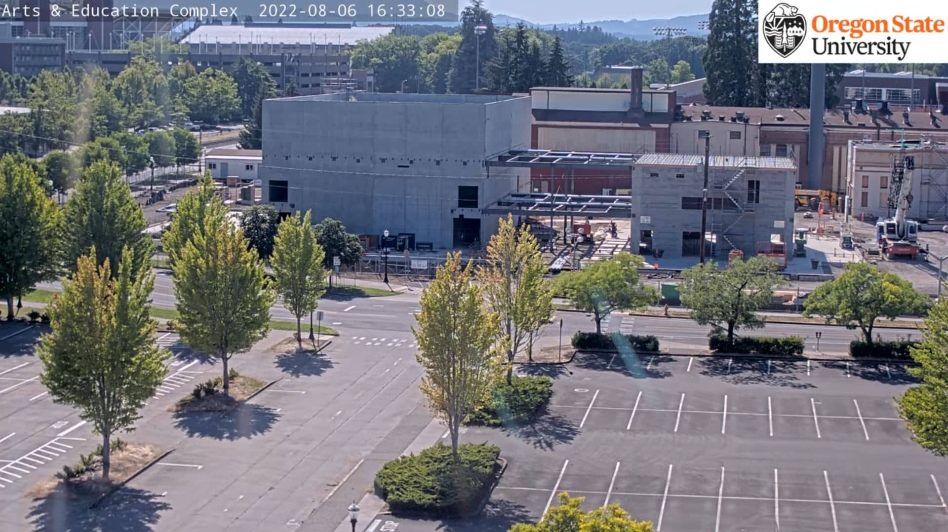
Corvallis
Oregon, United States — 61 km
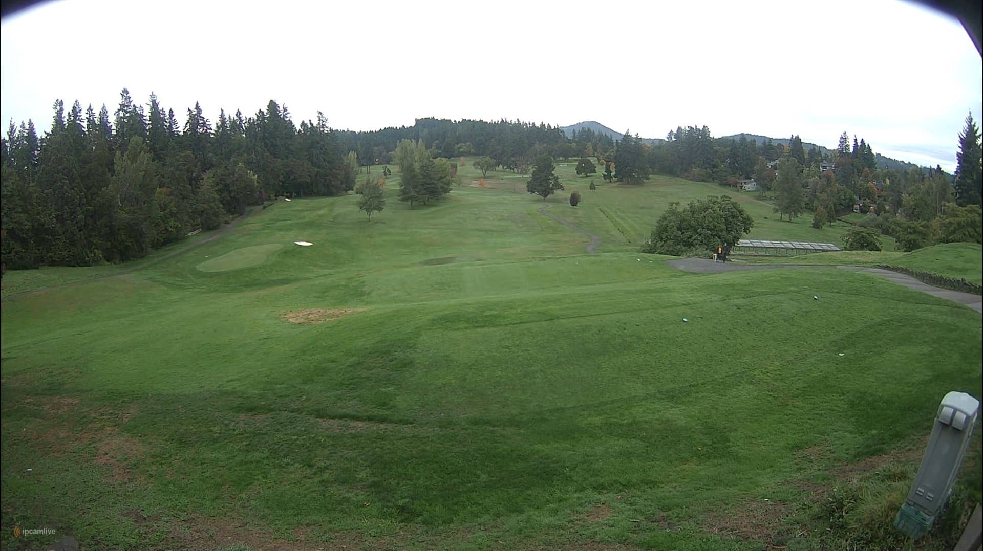
🇺🇸 Oregon · United States — Altitude 169 m
This live camera looks out over Eugene, the university city in the Willamette Valley of western Oregon. Open the stream to check how the city looks right now and whether the weather suits a visit or a trip along the valley.
Eugene sits where the Willamette and McKenzie rivers meet, at a modest elevation in the broad valley between the Coast Range and the Cascades. It is best known as the home of the University of Oregon and as a centre of running culture, with trails and parks threaded along the rivers. The city feels green and relaxed, shaped by its forests and the mild, rainy character of the Pacific Northwest.
The feed is listed as a city view, so it is best used to judge the general sky, light and conditions over Eugene rather than fine detail. Mornings and late afternoons often bring the softest light, while the wetter months from late autumn to spring can show low cloud and drizzle. Clear summer days are when the surrounding hills and sky tend to stand out most.
Summers are warm and dry, while winters are cool and wet, so late spring and early autumn are popular times to visit. Corvallis lies about 61 km north and makes a natural pairing for a day trip, and the Willamette Pass Resort camera is roughly 95 km away if you are planning a mountain visit. Other cameras in the region are listed on this page for comparison.
Source: Webcam Eugene
Oregon, United States — 61 km
Oregon, United States — 85 km
Oregon, United States — 90 km
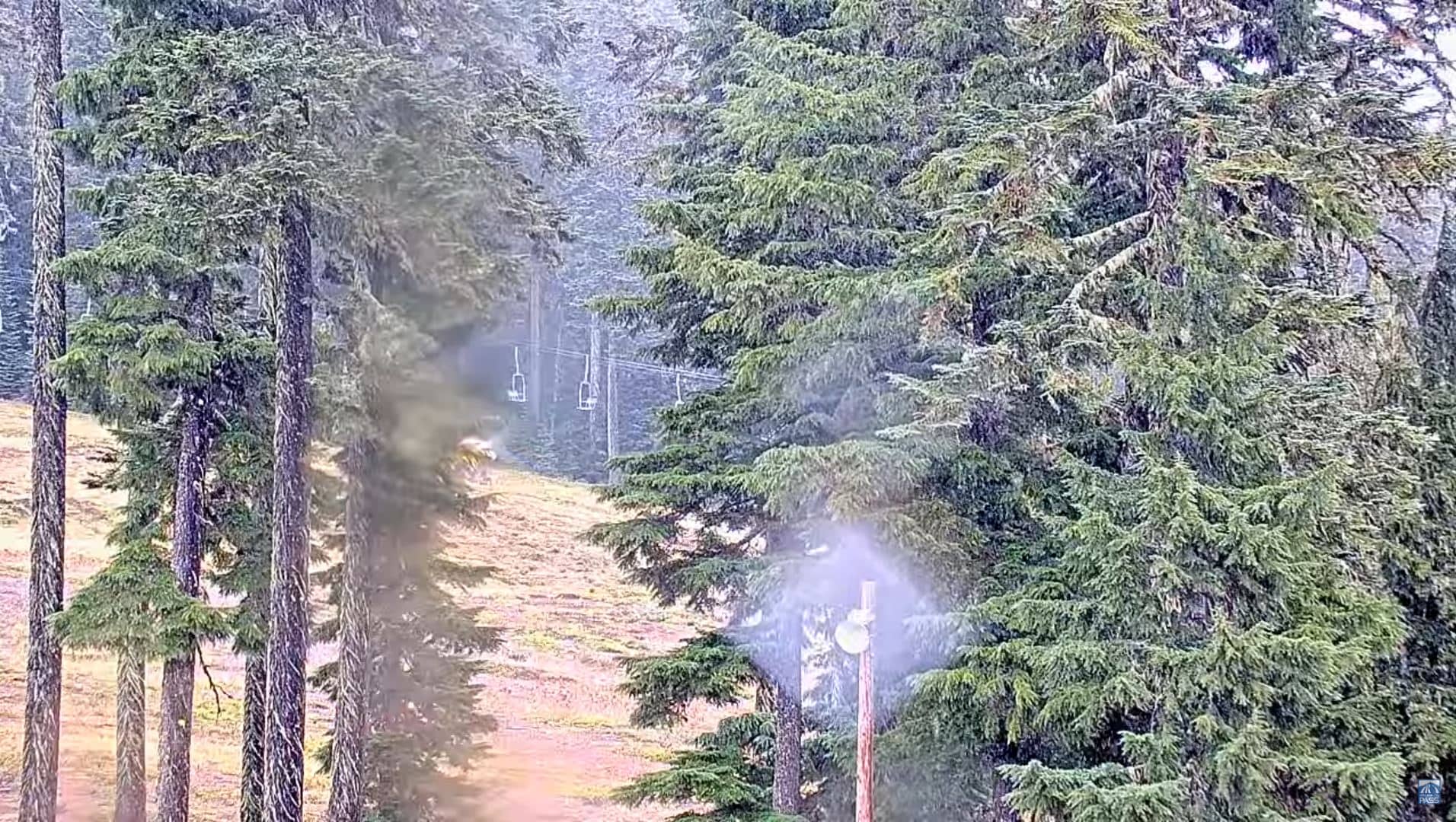
Oregon, United States — 95 km
Oregon, United States — 96 km
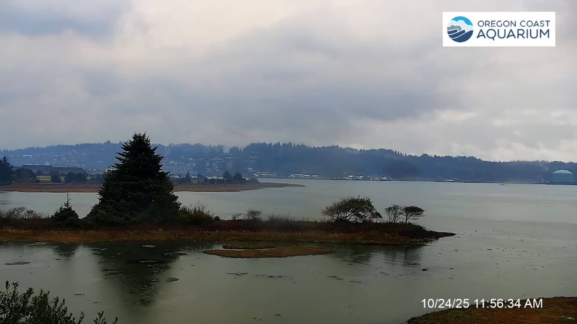
Oregon, United States — 101 km
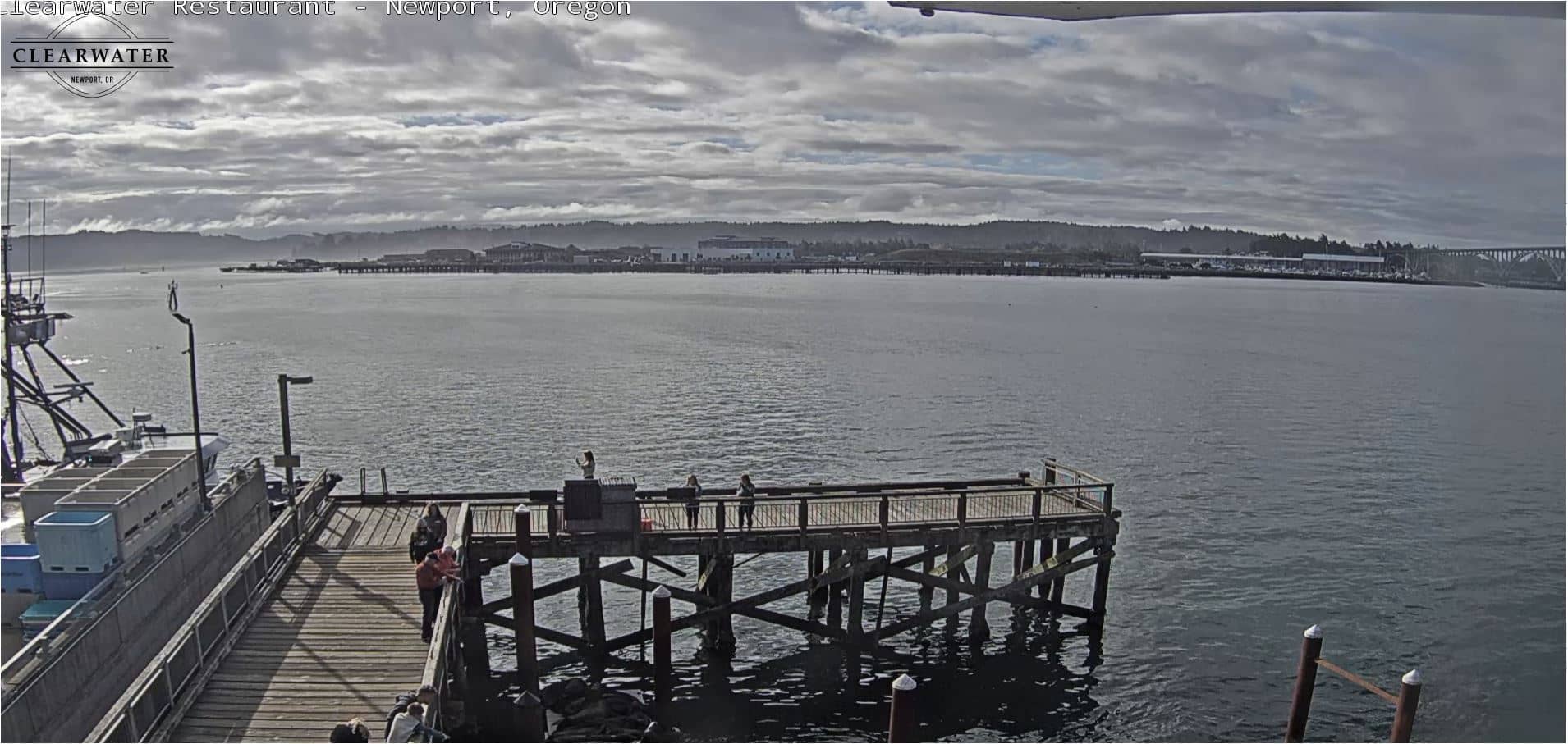
Oregon, United States — 102 km

Oregon, United States — 111 km
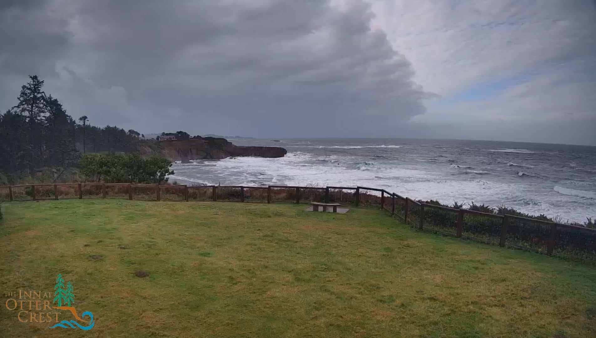
Oregon, United States — 112 km
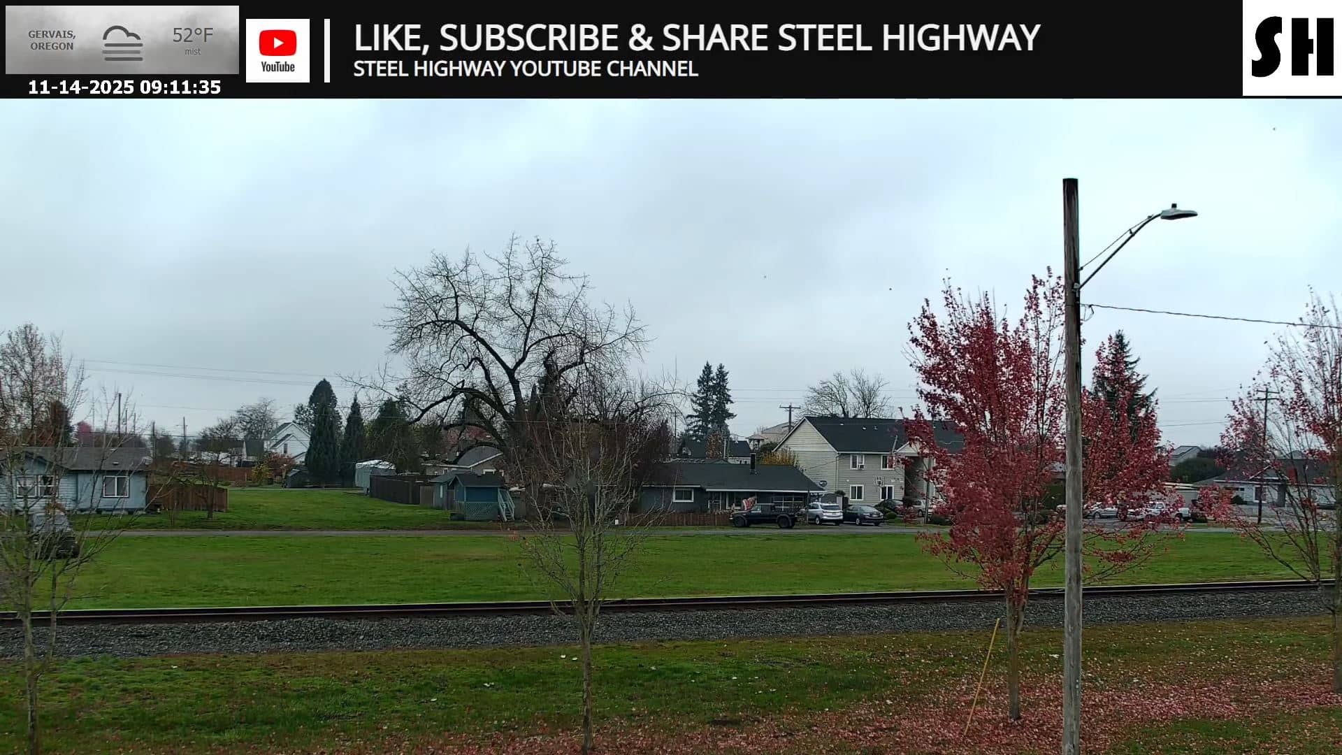
Oregon, United States — 121 km
The live weather block on this page shows current conditions in Eugene along with a 3-day forecast. Check it before planning outdoor time, since the Willamette Valley can be cloudy and damp for long stretches.
The page shows the current local time for Eugene, which follows the Pacific time zone used across the US West Coast. The clock updates automatically so you can compare it with your own time.
The camera is placed in Eugene, Oregon, at approximately 44.03 north and 123.07 west, at about 169 metres above sea level. The map on this page marks its position within the city.
Daylight hours give the clearest view, and clear days in late spring, summer and early autumn are usually the most rewarding. In winter, the stream may show low cloud and rain more often than sunshine.
Partner links: we may earn a commission at no extra cost to you.