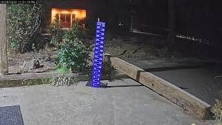
Sunriver - Owners Snow Stick
Oregon, United States — 22 km

Deschutes County - Mt Bachelor - Cloudchaser
🇺🇸 Oregon · United States — Altitude 2669 m
This live camera looks out over Mt Bachelor, a volcanic peak in the Cascade Range above Bend, Oregon. Watch the mountain's changing skies and snow conditions as they unfold, then check the local weather and time on the same page before you plan a trip.
Mt Bachelor rises to about 2,669 metres in Deschutes County, a short drive from the city of Bend in central Oregon. It is a dormant volcano in the Cascades, known for its steep, open slopes and for being one of the larger ski areas in the Pacific Northwest. The surrounding forests of pine and the high volcanic plateau give the area a crisp, mountain character that feels quite different from the nearby high desert towns.
The title points to a view on the mountain itself, so the picture is most likely to show snow, cloud movement and changing light across the peak. Mornings often bring clear views before afternoon clouds build, while winter storms can bring sudden whiteouts. Depending on the view, you may see skiers and lift activity during the snow season, and in summer the slopes can look bare and dramatic.
Winters are cold and snowy, with the main ski season running roughly from late autumn into spring, while summers are warm, dry and good for hiking. Conditions on the upper slopes can change quickly, so check the live view and weather before setting out. Other cameras on this site include Sunriver - Owners Snow Stick and the Willamette Pass Resort views, which give you more angles on the region.
Source: CamStreamer
Oregon, United States — 22 km
Oregon, United States — 32 km
Oregon, United States — 51 km
Oregon, United States — 51 km
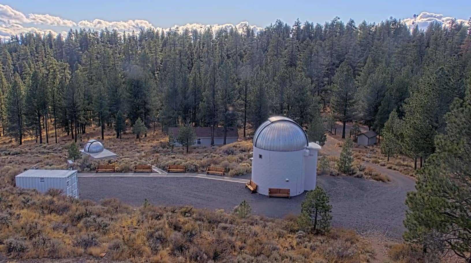
Oregon, United States — 63 km
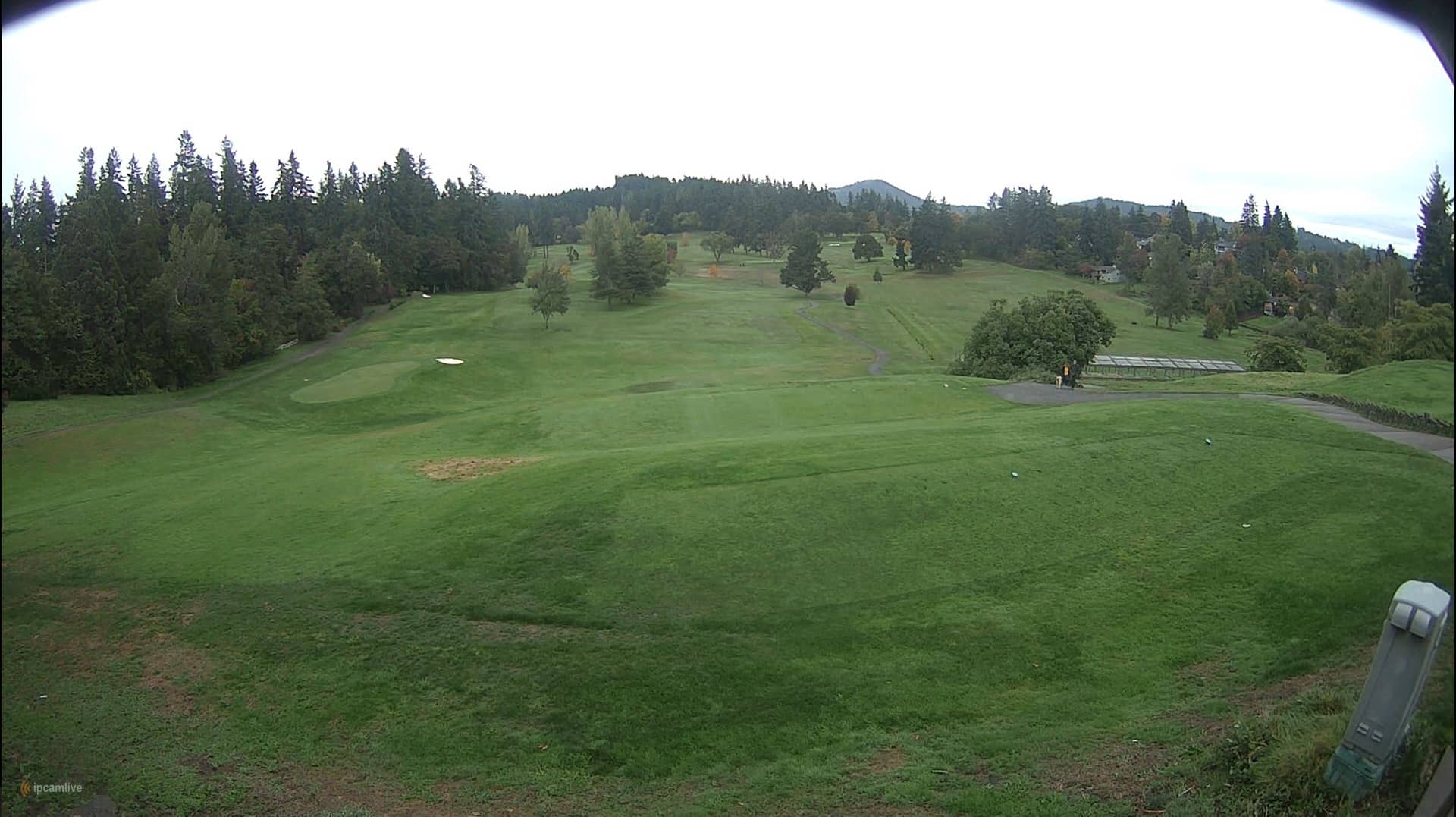
Oregon, United States — 111 km
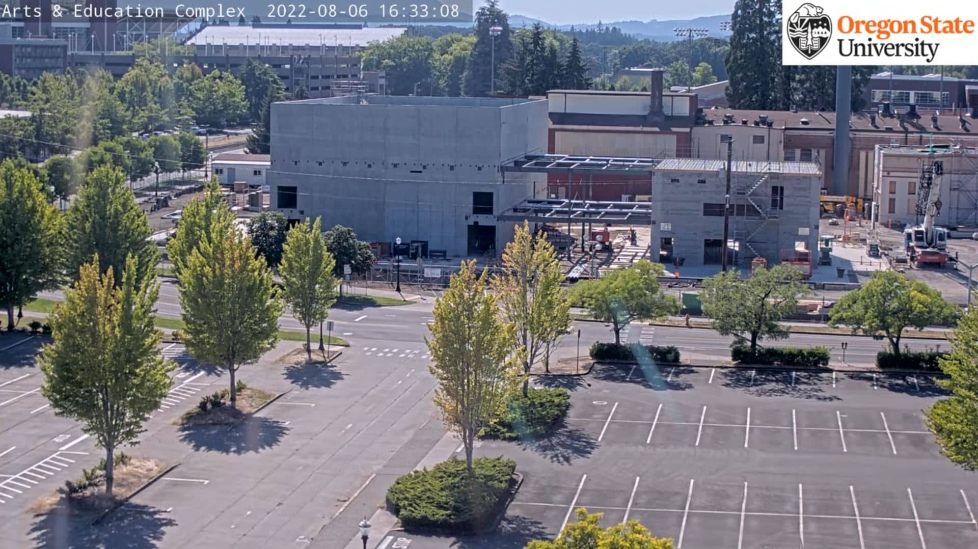
Oregon, United States — 143 km
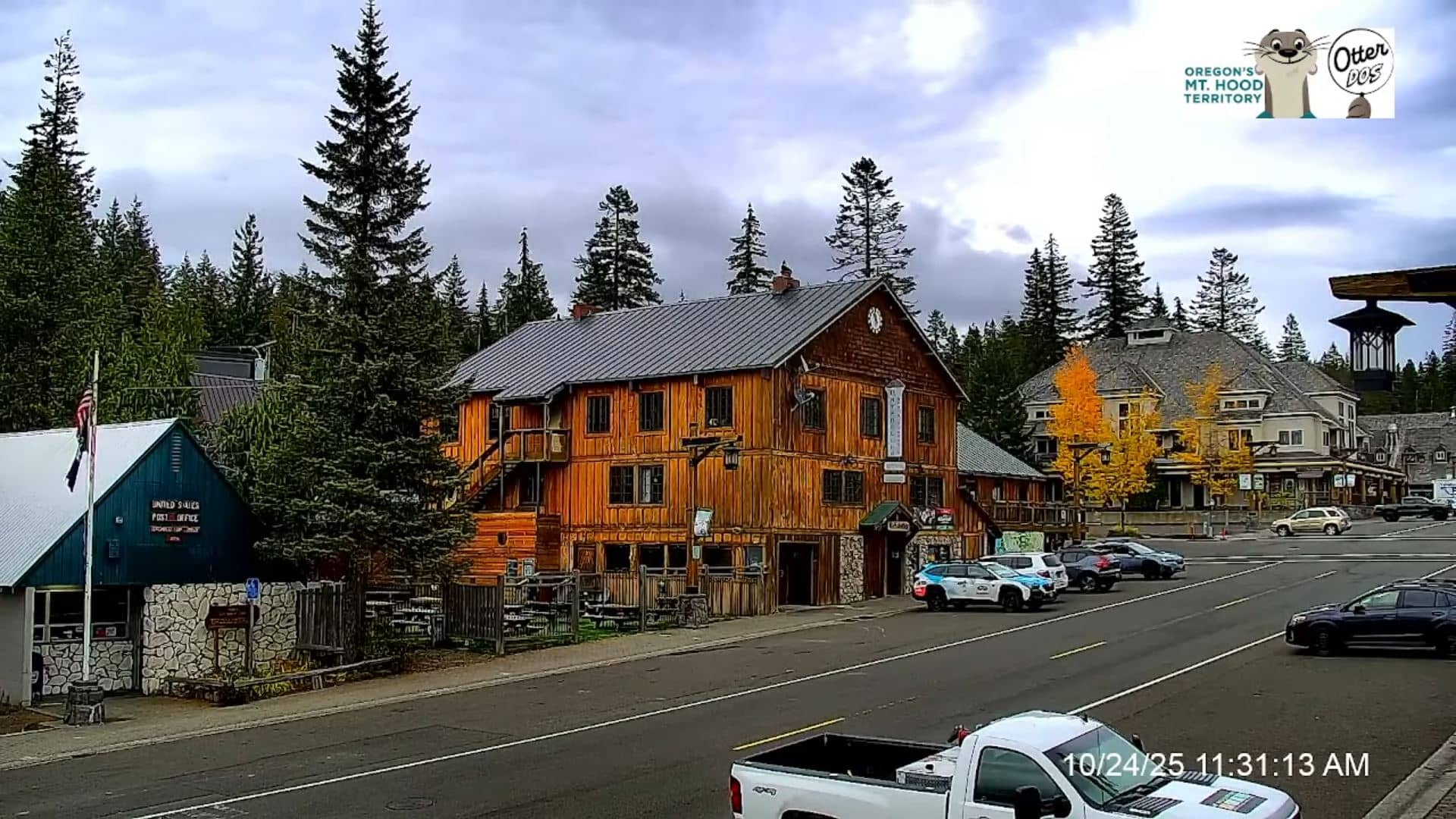
Oregon, United States — 148 km
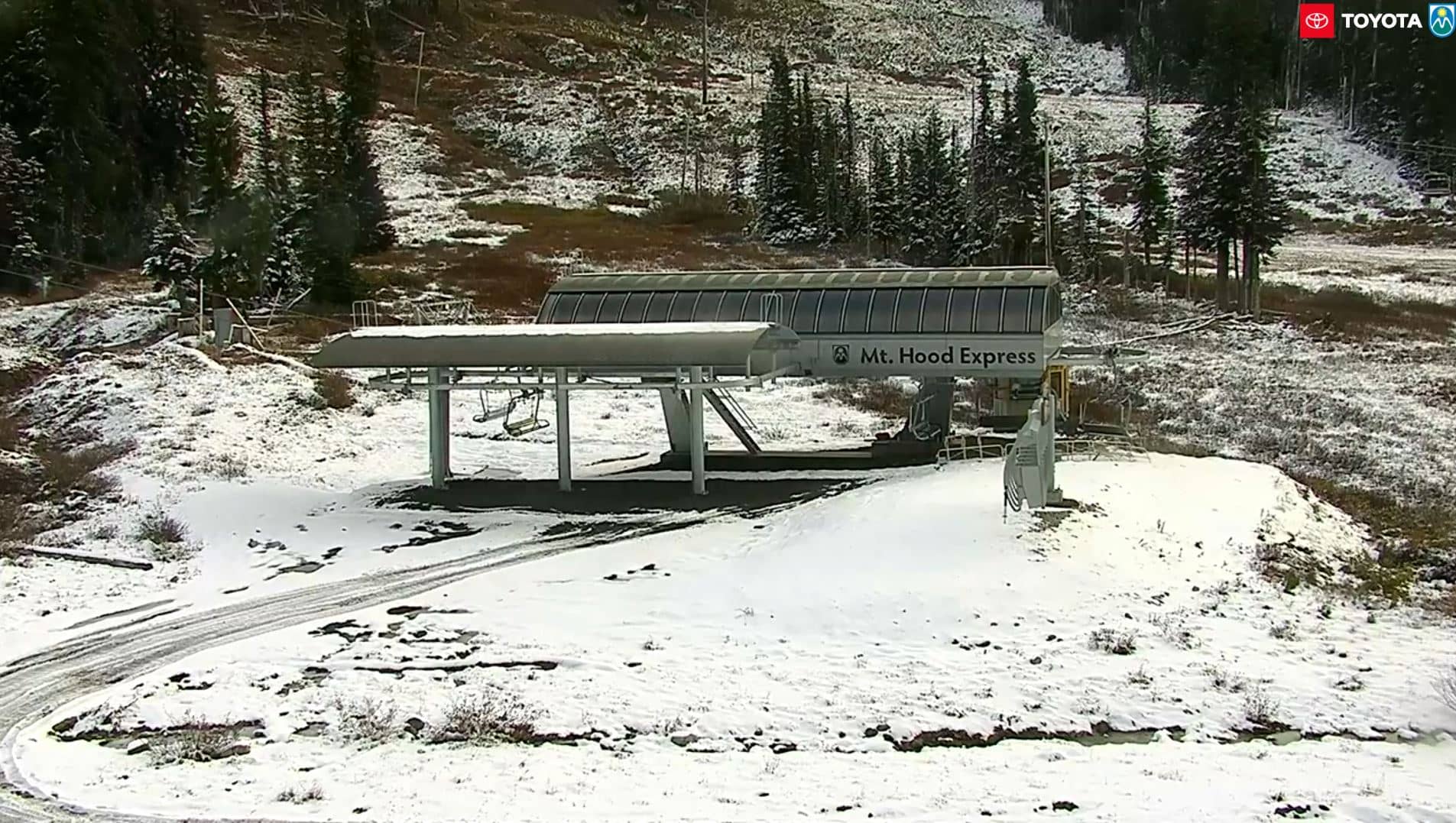
Oregon, United States — 151 km
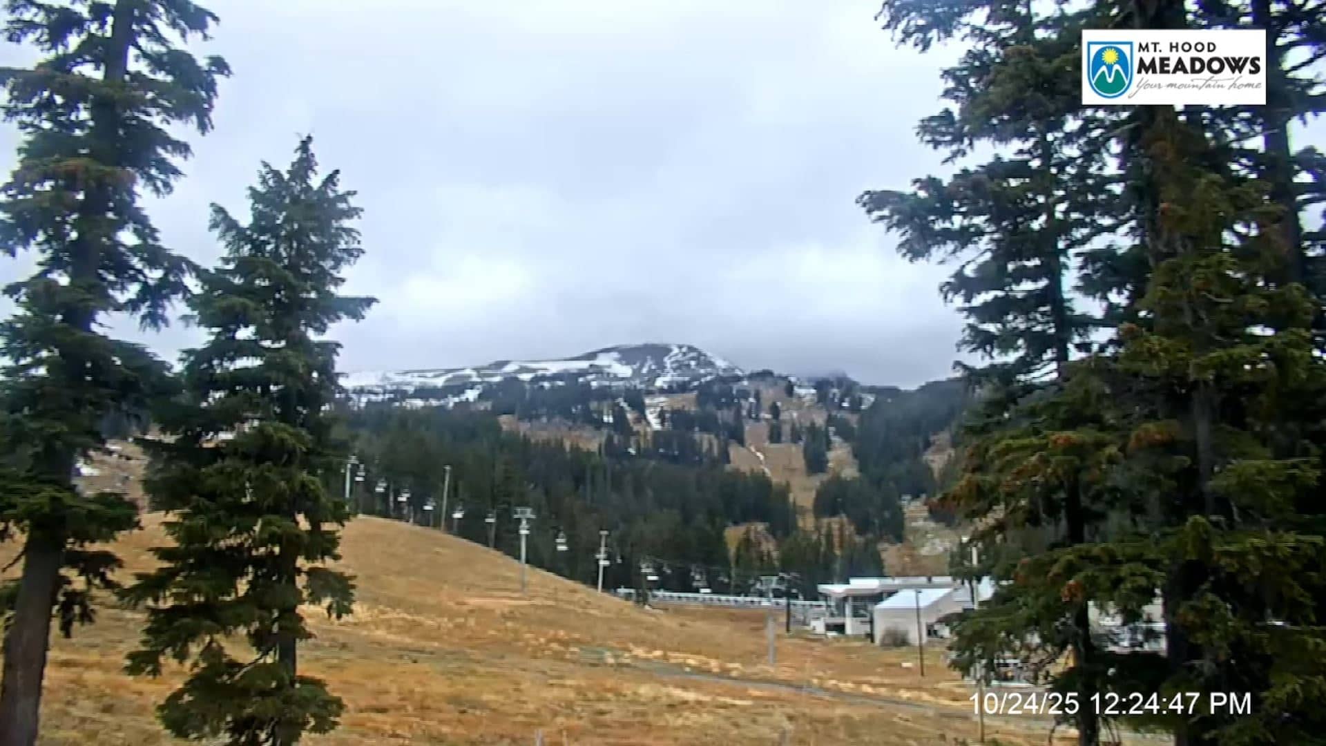
Oregon, United States — 151 km
The current conditions and a 3-day forecast are shown in the live weather block on this page. Mountain weather can change quickly, so the figures there are the best guide to what is happening at the summit.
The local time for the camera's location is displayed on this page and updates live. It follows the Pacific time zone used across western Oregon.
The camera is in Deschutes County, Oregon, at roughly 43.98 north and 121.68 west, on the mountain near Bend. The map on this page shows its precise position and surrounding area.
Clear mornings are often the best for sharp views of the peak, while winter is the time to see snow cover. Weather changes frequently in the mountains, so checking the live view at different times of day helps.
Partner links: we may earn a commission at no extra cost to you.