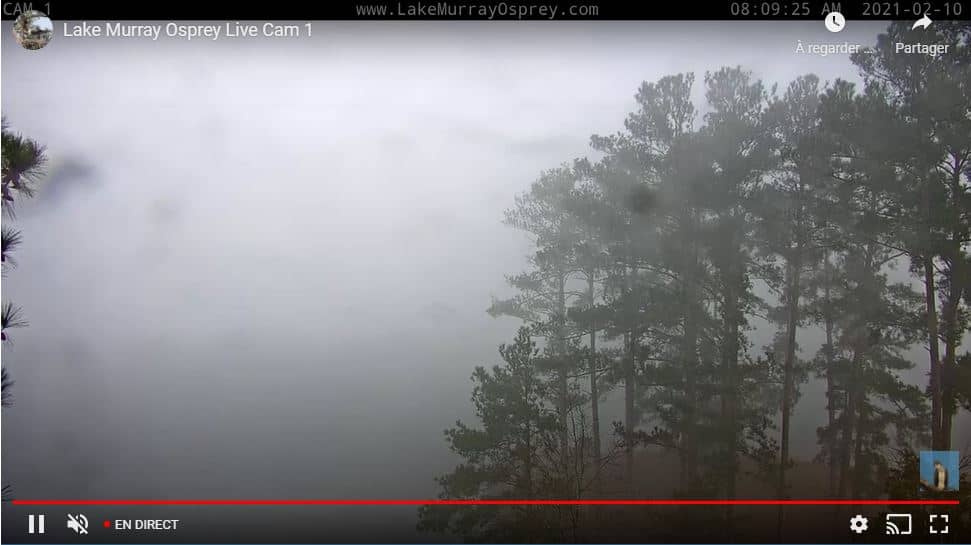
Lake Murray
South Carolina, United States — 37 km
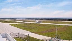
West Columbia - Columbia Metropolitan Airport
🇺🇸 South Carolina · United States — Altitude 61 m
This live view looks toward the Columbia Metropolitan Airport on the western side of the Columbia area in South Carolina. It is useful for anyone tracking arrivals, departures, or just the pace of a regional airfield. The page also shows local time and the current weather so you can judge conditions before you watch.
West Columbia sits across the Congaree River from Columbia, the state capital of South Carolina. The Midlands region around it is a mix of pine forest, farmland, and river bottomland, with the Lake Murray reservoir to the northwest. The airport serves as the main commercial gateway for the capital area and a number of nearby communities, which gives the district a steady, practical character rather than a tourist one.
The camera is aimed at an airport setting, so the most active moments are typically around scheduled flight times, when aircraft taxi, take off, and land. Activity tends to be lighter in the middle of the night and busier in the morning and early evening. Weather matters a lot here: summer thunderstorms can cause brief delays, and clear winter mornings often give the sharpest views of the runway.
South Carolina has hot, humid summers and mild winters, with spring and autumn usually the most comfortable seasons to visit. The airport is a short drive from downtown Columbia. For a broader look at the region, you can also check the nearby cameras in Lake Murray, Augusta, Waxhaw, and Spartanburg, all within a few hours of travel.
Source: earthcam.com
South Carolina, United States — 37 km

Georgia, United States — 99 km

North Carolina, United States — 105 km
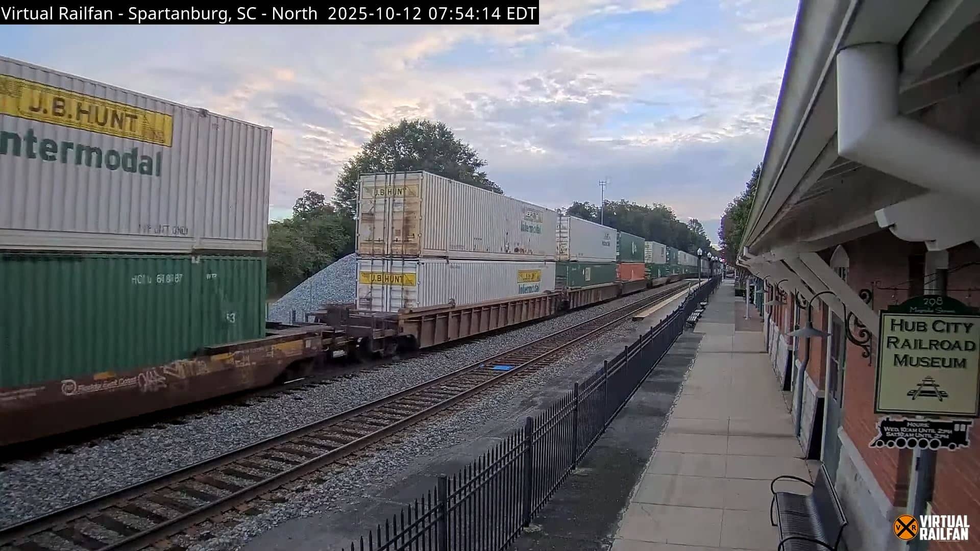
South Carolina, United States — 137 km
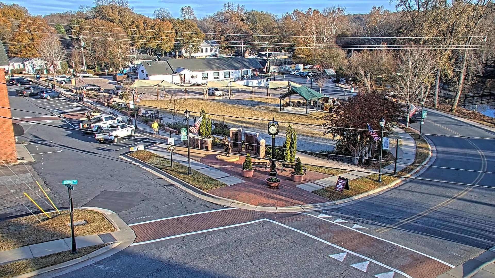
North Carolina, United States — 142 km

South Carolina, United States — 153 km
South Carolina, United States — 155 km

South Carolina, United States — 155 km
Georgia, United States — 161 km

North Carolina, United States — 169 km
The current conditions and a three-day forecast for West Columbia are shown in the weather block on this page, updated alongside the live view.
The local time for West Columbia is displayed on this page, following the Eastern time zone used across much of South Carolina.
The camera is at Columbia Metropolitan Airport in West Columbia, South Carolina, at roughly 61 metres above sea level. The map on this page marks its position.
Watching during scheduled daytime flight hours usually shows the most movement. Clear mornings and early evenings are often the most pleasant times to observe.
Partner links: we may earn a commission at no extra cost to you.