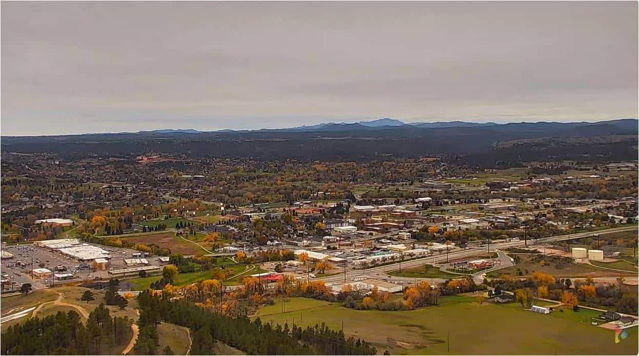
Rapid City - Caméra de la tour NewsCenter1
South Dakota, United States — 5.7 km
Pennington County - South Dakota Black Hills
🇺🇸 South Dakota · United States — Altitude 1135 m
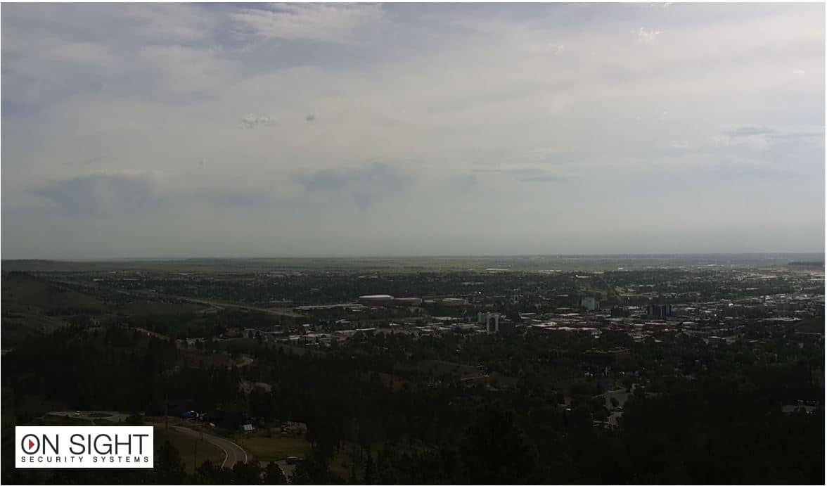
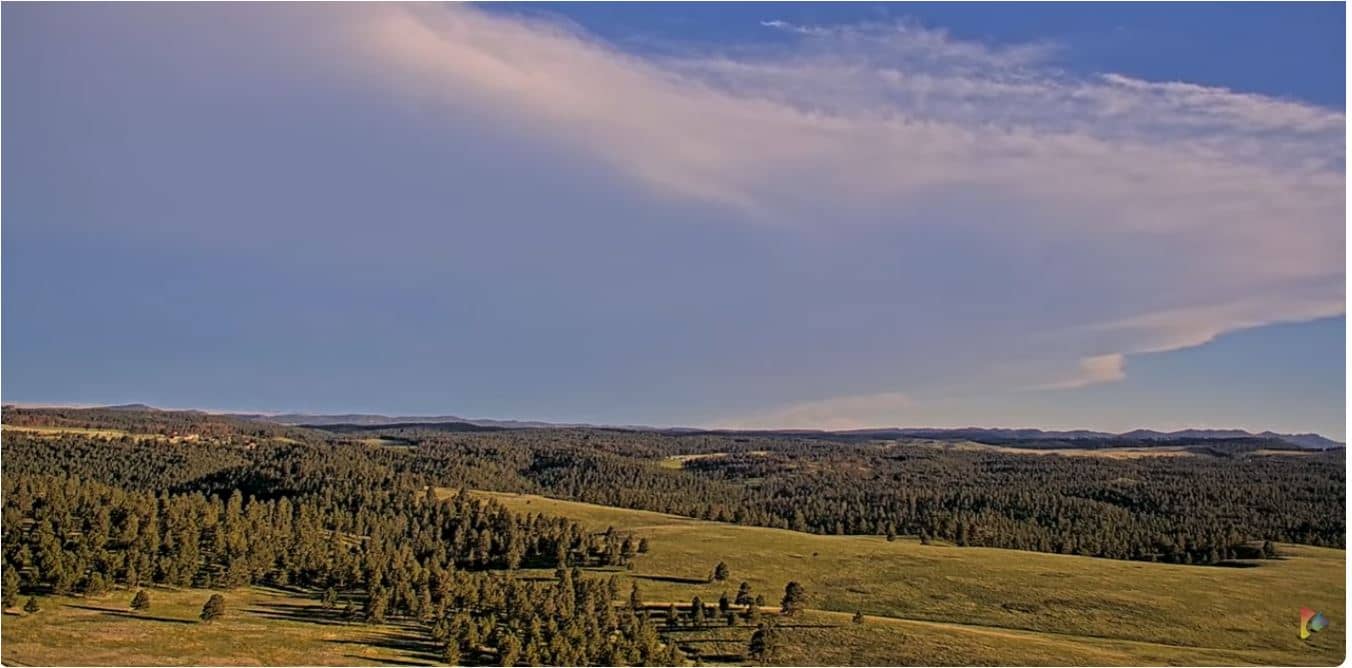
This live camera looks out over Pennington County in the Black Hills of western South Dakota, a region of forested ridges, granite outcrops and open valleys. It is useful for checking how the hills look right now, whether skies are clear or hazy, and what conditions are like before a drive or hike. The stream is provided by its owner and embedded here in HD.
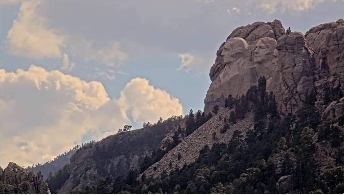
The Black Hills rise abruptly from the prairie of western South Dakota and are known for ponderosa pine forests, rock formations and a long mining history. Pennington County includes Rapid City, the largest city in the western part of the state, and serves as a gateway to Mount Rushmore, Custer State Park and Badlands National Park. The landscape changes quickly here, moving from grassland at the foot of the hills to dense pine cover higher up, which gives the area its distinctive character.
The camera offers a view across the hills, and the best moments are usually early morning, when mist can sit in the valleys, and late afternoon, when low sun brings out the texture of the ridges. Summer brings thunderstorms that can build quickly over the high ground, while autumn colors the aspens and cottonwoods along the creeks. Winter views can show snow on the pines, though conditions can change within hours.
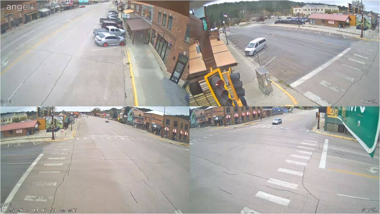
Summers in the Black Hills are warm and often sunny, with afternoon storms common, while winters are cold and snowy. Spring and early autumn are generally mild and pleasant for visits. Rapid City has the main airport and services for the region, and nearby cameras on the same network show views from the NewsCenter tower and the South Dakota Mines campus, giving a broader picture of the city and its surroundings.
Source: CamStreamer
South Dakota, United States — 5.7 km
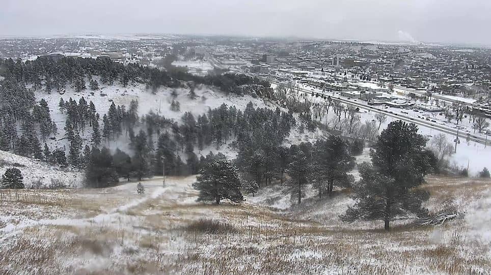
South Dakota, United States — 8.4 km
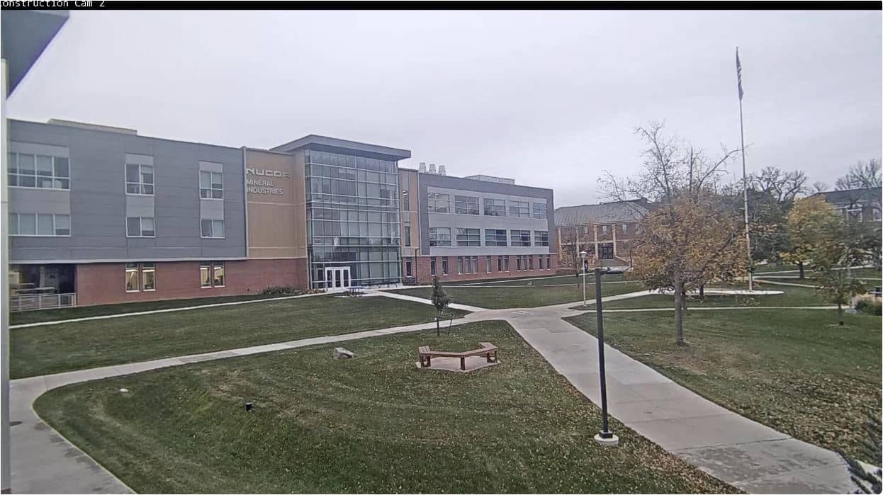
South Dakota, United States — 8.6 km
South Dakota, United States — 8.8 km
South Dakota, United States — 9.6 km
South Dakota, United States — 22 km
South Dakota, United States — 38 km
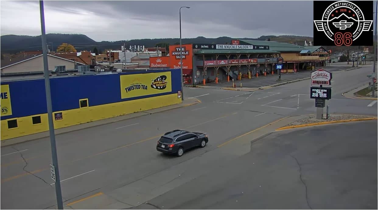
South Dakota, United States — 44 km
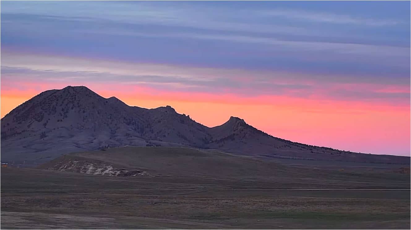
South Dakota, United States — 45 km
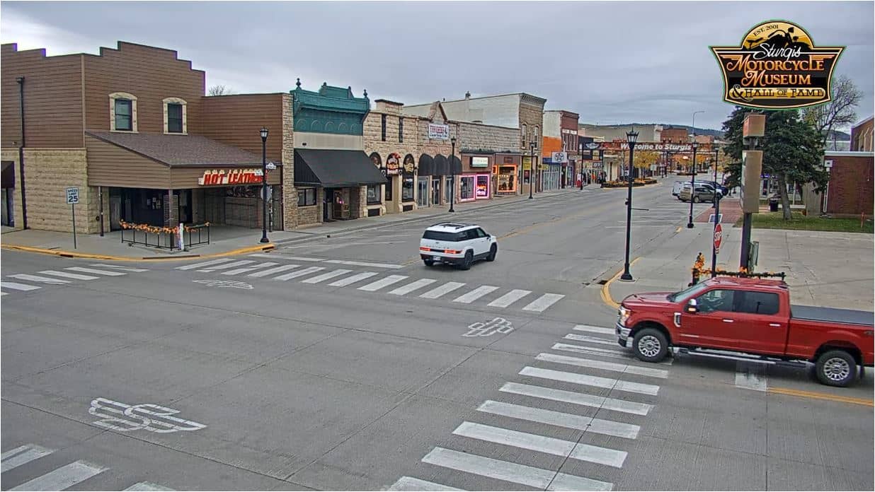
South Dakota, United States — 45 km
The current conditions and a three-day forecast are shown in the live weather block on this page, so you can see temperature and sky conditions for the area before you plan a trip.
The local time is displayed on this page and follows the Mountain time zone used in western South Dakota, including daylight saving changes.
The camera sits in Pennington County at roughly 44 degrees north and 103 degrees west, at about 1,135 meters above sea level. The map on this page shows its exact position relative to Rapid City.
Early morning and late afternoon usually give the clearest light and the most visible detail on the hills. Summer afternoons can bring storms, so check the weather block before you watch for changing conditions.
Partner links: we may earn a commission at no extra cost to you.