Garfield County - Schweitzer : Colburn Triple
Utah, United States — 33 km
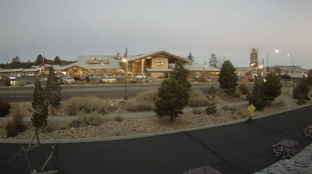
Bryce Canyon City
🇺🇸 Utah · United States — Altitude 2425 m
This live stream gives you a current view of Bryce Canyon City, the gateway town to Bryce Canyon National Park in southern Utah. Check it before you drive up to see how the light and weather look at the moment.
Bryce Canyon City sits at roughly 2,425 metres on the Paunsaugunt Plateau, in Garfield County. The park beyond it is known for its crowded rows of red and orange hoodoos, rock spires shaped by frost and erosion over millions of years. The town itself is small, with lodges, restaurants and services that serve visitors to the canyon rim and the surrounding forests.
As this is a nature camera from a live video stream, its value lies in the sky, the light and the seasonal change rather than in any single event. Morning and late afternoon usually bring the warmest colours to the rock formations, while winter can bring snow that lingers on the plateau. Depending on the view, you may see clouds building over the high country in summer afternoons, which is a common pattern in this region.
Summer is the busiest season and the most reliable for road access, while spring and autumn offer milder days. Winter is cold, with snow and icy roads, and some facilities run on reduced schedules. Nearby on the live map you will find the Colburn Triple camera about 33 km away, as well as views around Eagle Point Resort and Lake Powell farther off, which help you judge conditions across the wider region.
Because weather in this elevation can change quickly, it is worth comparing the live view with the local forecast shown on this page. The forecast covers the next three days and the local time helps you plan around sunrise and sunset, when the canyon is most dramatic.
Source: Webcam Bryce Canyon City
Utah, United States — 33 km
Utah, United States — 80 km
Arizona, United States — 98 km

Arizona, United States — 99 km

Utah, United States — 136 km
Arizona, United States — 150 km
Arizona, United States — 175 km
Utah, United States — 181 km
Nevada, United States — 206 km
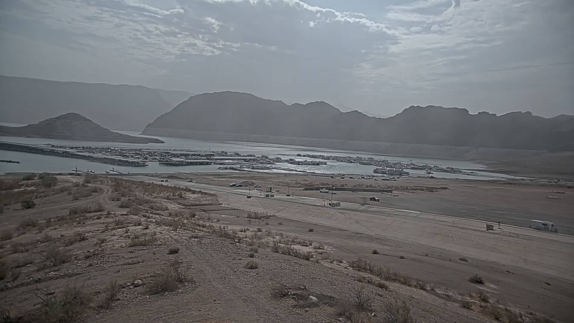
Arizona, United States — 254 km
The current conditions and the 3-day forecast are shown in the weather block on this page, updated for the town. Because the town is at high altitude, temperatures can differ a lot from the valleys below.
The local time is displayed on this page and follows the Mountain time zone used in Utah. It is useful for planning sunrise and sunset viewing at the canyon.
The camera is in Bryce Canyon City, Garfield County, Utah, at about 2,425 metres elevation. The map on this page marks its position next to the national park.
Early morning and late afternoon usually offer the best light on the rock formations. Check the weather block first, since clouds and snow can change what the view looks like.
Partner links: we may earn a commission at no extra cost to you.